2020s Maps of Millard County, Utah
Explore 286 historic maps of Millard County from the 2020s. These maps offer a rare glimpse into what life looked like during the 2020s — showing old roads, neighborhoods, homes, and landmarks that have changed or disappeared over time.
Whether you're researching your family's past, planning a metal detecting trip, or studying how Millard County's landscape evolved across the 2020s, these high-resolution maps are a powerful tool for exploring the history of this region.
- Focus on a specific era: All maps on this page are from the 2020s, giving you a focused view of this time period.
- See what’s changed: Compare century-old streets, trails, and buildings to today's modern landscape using overlays and satellite layers.
- Research with precision: Use these maps for genealogy, historical research, land use analysis, or educational projects.
- View, download, or print: Maps are fully viewable online in high resolution, and can be downloaded or printed for your own records.
Start exploring Millard County's history through authentic maps from the 2020s. This is your window into the past.
Millard County, UT maps
(286)- 2020 Map of Spring Mountain, 2020 Print
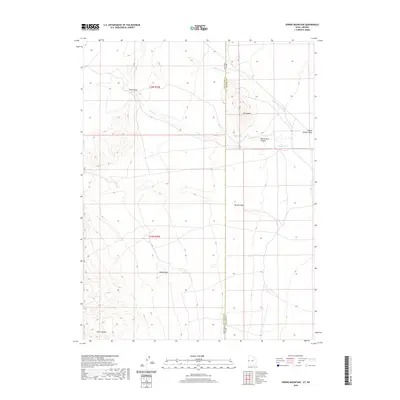 2020 Spring Mountain2020 Print · USGSThe Nevada and Utah borderlands are shown in great detail during the early twenty-first century, spanning a rugged high-desert landscape. Researchers can trace land boundaries across the Snake Range and locate isolated water sources like Warm Springs and Swan Cr.
 - 2020 Map of Long Ridge SE, 2020 Print
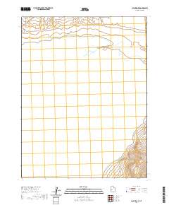 2020 Long Ridge SE2020 Print · USGSThe Great Basin's arid expanse comes into focus in this recent survey of Millard County, where the Sevier River flows toward its terminus. Researchers can trace the water management patterns of the region, from the wide basin of Sevier Lake to the small State Road Reservoir.
 - 2020 Map of Coyote Knolls, 2020 Print
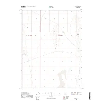 2020 Coyote Knolls2020 Print · USGSThe isolated eastern Tule Valley is captured here in the late 2010s, showing a landscape defined by Great Basin geography. Researchers and desert explorers can trace 4WD tracks and local roads as they navigate past Coyote Knolls and across Tule Valley.
 - 2020 Map of Gandy SW, 2020 Print
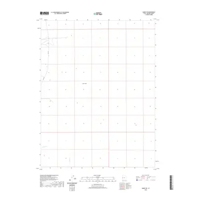 2020 Gandy SW2020 Print · USGSMillard County's high-desert interior remains a study in isolation and resilience as seen in this 2020 survey. Genealogists and local historians can trace the paths of water and travel through Snake Valley along Gandy Rd and the drainage at Hendrys Cr.
 - 2020 Map of Hole in the Ground, 2020 Print
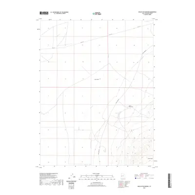 2020 Hole in the Ground2020 Print · USGSMillard County's high-desert basins and mountain flanks are captured here during the recent era of modern surveying. Researchers and land-history buffs can trace the paths of Old 6 & 50 and Knoll Springs Rd past landmarks like Hole in the Ground.
 - 2020 Map of Buckskin Hills, 2020 Print
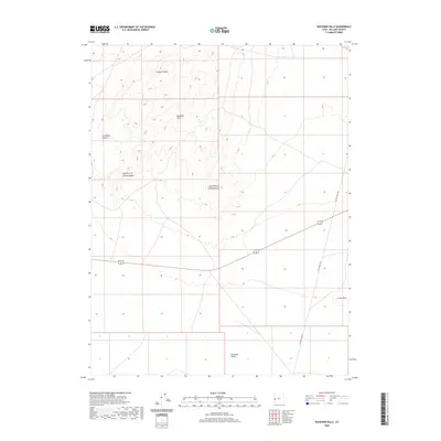 2020 Buckskin Hills2020 Print · USGSThis western Millard County landscape is documented at the start of the 2020s, showing the transition from the Conger Range to the vast Ferguson Desert. Researchers can trace the path of Little Valley Rd past local landmarks like the Crows Nest and Livingston Canyon.
 - 2020 Map of Lady Laird Peak, 2020 Print
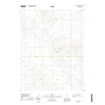 2020 Lady Laird Peak2020 Print · USGSJuab and Millard Counties are revealed in high detail during this modern survey of Utah's remote desert ranges. Researchers can trace historical routes like Gold Mine Rd and Little Drum Mine Rd while locating the settlement of Joy.
 - 2020 Map of Dowdell Canyon, 2020 Print
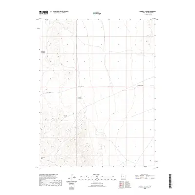 2020 Dowdell Canyon2020 Print · USGSMillard County's high desert terrain is captured here in the contemporary era, showing the intersection of cattle country and the Great Basin. Genealogists and desert explorers can trace the path of Mile and a Half Rd as it leads toward Dowdell Canyon and Cattlemens Little Valley.
 - 2020 Map of Hell'n Moriah Canyon, 2020 Print
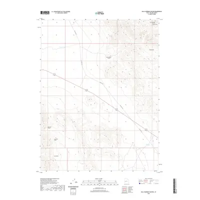 2020 Hell'n Moriah Canyon2020 Print · USGSMillard County's high desert is captured here in the contemporary era, showing the intersection of the House Range and Confusion Range. Researchers can trace the path of Tule Valley Rd past remote features like Hell'n Moriah Kitchen and Jackson Pond.
 - 2020 Map of Whirlwind Valley NW, 2020 Print
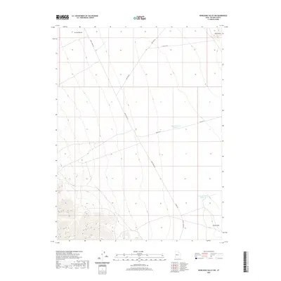 2020 Whirlwind Valley NW2020 Print · USGSMillard County's high desert is captured here in the late twenty-teens, showing a landscape defined by water management and remote access. Trace the connections between Swasey Reservoir Number 3, Swasey Wash, and the network of routes like Swazey Spring Rd.
 - 2020 Map of Long Ridge Reservoir, 2020 Print
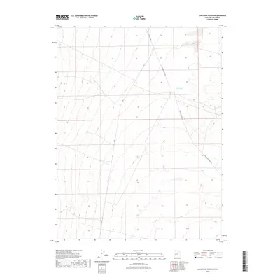 2020 Long Ridge Reservoir2020 Print · USGSMillard County's high desert landscape is shown here in the early twenty-first century, centered on vital water infrastructure. Researchers can trace the path of Death Canyon Rd and the boundaries of the Long Ridge Reservoir.
 - 2020 Map of Miller Cove, 2020 Print
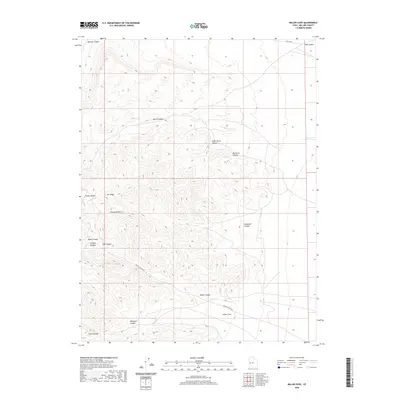 2020 Miller Cove2020 Print · USGSThe high desert of Millard County is defined here by the peaks and drainages of the House Range. Trace the historical routes through this terrain, from the legacy of Old 6 & 50 to the rugged paths through Marjum Canyon and Amasa Valley.
 - 2020 Map of Thompson Knoll, 2020 Print
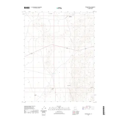 2020 Thompson Knoll2020 Print · USGSMillard County's high desert landscape is captured here in the contemporary era, highlighting essential water sources and terrain features. Trace the management of the land through sites like Thompson Knoll Reservoir, Boobs Canyon, and the remote Ferguson Desert.
 - 2020 Map of Middle Range South, 2020 Print
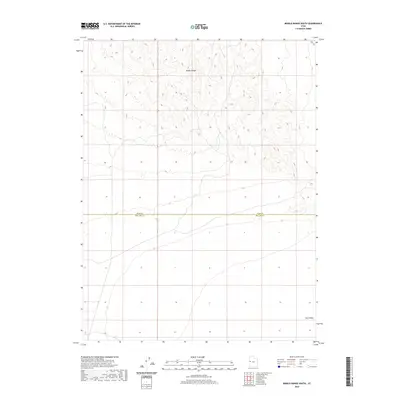 2020 Middle Range South2020 Print · USGSMillard and Juab counties meet in this 2020 survey of the Great Basin's interior at a time when the landscape remained nearly untouched. Genealogists and desert historians can trace the path of the Weis Hwy as it passes the foothills of the Middle Range near the entrance to Tule Valley.
 - 2020 Map of Bullgrass Knoll, 2020 Print
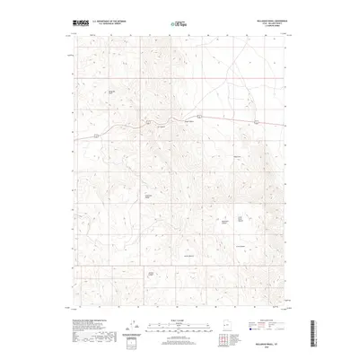 2020 Bullgrass Knoll2020 Print · USGSMillard County, Utah, is shown in the modern era as a landscape of high desert canyons and distinctive range landmarks. Researchers can trace the path of 6 50 through the Confusion Range or locate the remote basins of Horse Heaven and King Cove.
 - 2020 Map of Whirlwind Valley SW, 2020 Print
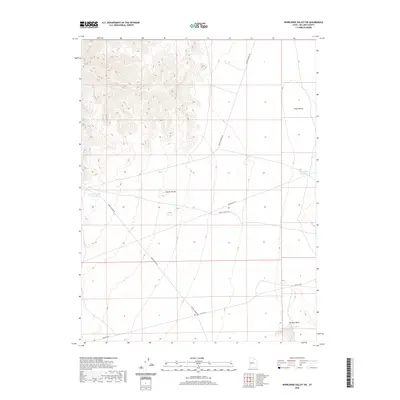 2020 Whirlwind Valley SW2020 Print · USGSMillard County's high desert landscape is documented here in the early twenty-first century, showing a remote region defined by water management and canyon routes. Researchers can trace historical paths like Old 6 & 50 and locate critical water sources such as Antelope Spring Reservoir and Rain Lakes.
 - 2020 Map of Notch Peak, 2020 Print
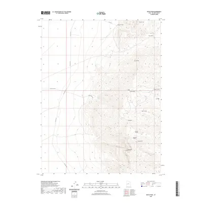 2020 Notch Peak2020 Print · USGSThe high desert of western Utah is captured here in the late 2010s, centered on the dramatic limestone escarpments of the House Range. Researchers and hikers can trace the primitive routes like Tule Valley Rd leading to the peaks of Notch Peak and Sawtooth Mtn.
 - 2020 Map of Granite Mountain, 2020 Print
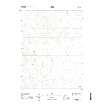 2020 Granite Mountain2020 Print · USGSJuab and Millard counties appear here in the early twenty-first century, showing a remote desert landscape defined by the heights of the Confusion Range. Modern-day explorers can trace back-country routes like Chucker Rd and Granite Mountain E through the Disappointment Hills.
 - 2020 Map of Swasey Peak NW, 2020 Print
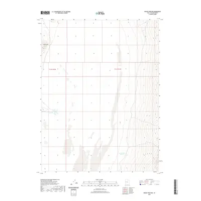 2020 Swasey Peak NW2020 Print · USGSMillard County's high-desert landscape is documented here in the early twenty-first century, showcasing a sparse but vital network of water sources. You can trace the geography of the Great Basin through landmarks like Coyote Spring and East Tule Bench Reservoir.
 - 2020 Map of Red Knolls, 2020 Print
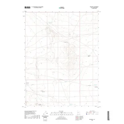 2020 Red Knolls2020 Print · USGSMillard County's high desert landscape is mapped here in the modern era, showing the critical water infrastructure and remote desert routes of central Utah. Researchers can locate specialized catchments like Swasey Reservoir Number 4 and trace the paths of Old 6 & 50 and Death Canyon Rd.
 - 2020 Map of Cockscomb Ridge, 2020 Print
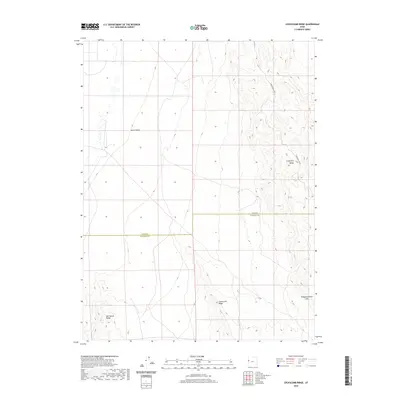 2020 Cockscomb Ridge2020 Print · USGSThe high desert border of Millard and Juab counties is captured here in the contemporary era. This map allows researchers to trace the remote corridor of Confusion Gap Rd as it cuts through the Confusion Range and the Snake Valley basin.
 - 2020 Map of Knoll Hill, 2020 Print
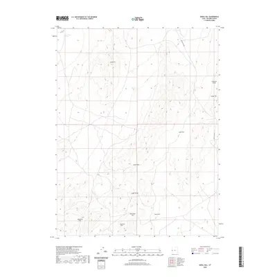 2020 Knoll Hill2020 Print · USGSMillard County, Utah, is shown in the early twenty-first century as a landscape of isolated peaks and strategic mountain gaps. Researchers can trace historic desert routes through Coyote Pass and Cedar Pass or locate rangeland landmarks like Horse Trap Spring.
 - 2020 Map of Cowboy Pass, 2020 Print
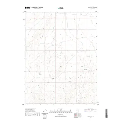 2020 Cowboy Pass2020 Print · USGSMillard County's high-desert terrain is shown in the early twenty-first century as it sits within the expansive Confusion Range. You can trace the historic path of Old 6 & 50 and locate critical water sources like Skunk Spring and Willow Spring.
 - 2020 Map of Marjum Pass, 2020 Print
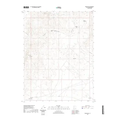 2020 Marjum Pass2020 Print · USGSMillard County's high-desert peaks and canyons are mapped here in the modern era, showing a landscape defined by its geology and scarce water. Trace the routes through Marjum Pass or seek out local landmarks like the Trilobite Beds and Howell Peak.
 - 2020 Map of Eskdale, 2020 Print
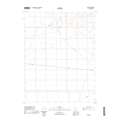 2020 Eskdale2020 Print · USGSThe community of Eskdale is documented here in its modern desert setting at the edge of the Ferguson Desert. Genealogists and researchers can trace the local landscape through features like the Eskdale Cem and the drainage of Baker Cr.
Showing maps 1-25 of 286
Top cities of Millard County
- Delta historical maps
- Fillmore historical maps
- Hinckley historical maps
- Oak City historical maps
- Kanosh historical maps
- Holden historical maps
See more
Frequently asked questions
- What are the different types of historical maps available for Millard County?
- What is the oldest map of Millard County?
- Where can I purchase historical maps of Millard County for my home or office?
- Where can I download high-res historical maps of Millard County?
- Are there historical topographic maps available for Millard County?
- Is there historical aerial imagery available for Millard County?
- Where are historical maps of Millard County sourced from?