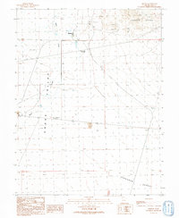
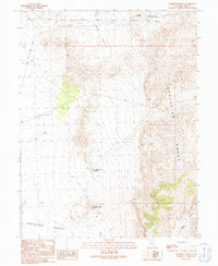
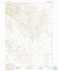
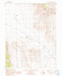
1990s Maps of Millard County, Utah
Explore 36 historic maps of Millard County from the 1990s. These maps offer a rare glimpse into what life looked like during the 1990s — showing old roads, neighborhoods, homes, and landmarks that have changed or disappeared over time.
Whether you're researching your family's past, planning a metal detecting trip, or studying how Millard County's landscape evolved across the 1990s, these high-resolution maps are a powerful tool for exploring the history of this region.
- Focus on a specific era: All maps on this page are from the 1990s, giving you a focused view of this time period.
- See what’s changed: Compare century-old streets, trails, and buildings to today's modern landscape using overlays and satellite layers.
- Research with precision: Use these maps for genealogy, historical research, land use analysis, or educational projects.
- View, download, or print: Maps are fully viewable online in high resolution, and can be downloaded or printed for your own records.
Start exploring Millard County's history through authentic maps from the 1990s. This is your window into the past.
Millard County, UT maps
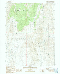
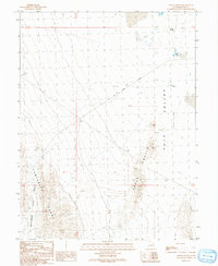
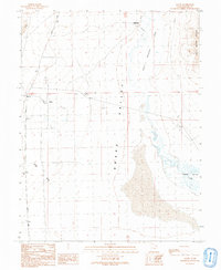
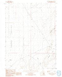
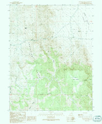
(36)- 1991 Map of Gandy SW
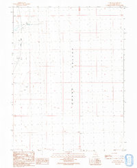 1991 Gandy SW1991 Print · USGSSnake Valley in western Utah is shown during the early nineties as a high-desert landscape shaped by water infrastructure and sparse transport routes. Genealogists and historians can locate specific sites like the Graves near the Gandy Road and trace industrial markers like the Gravel Pit.
 - 1991 Map of Knoll Hill
 1991 Knoll Hill1991 Print · USGSWestern Utah's high desert remains captured in the early nineties, showing a landscape defined by the convergence of the Confusion Range and Snake Valley. Researchers can trace old routes through Coyote Pass, locate Horse Trap Spring, and identify the prominent heights of Knoll Hill.
 - 1991 Map of Buckskin Hills
 1991 Buckskin Hills1991 Print · USGSMillard County's high desert reaches are captured here in the early nineties, showing a landscape defined by water scarcity and isolation. Genealogists and desert explorers can trace early infrastructure through the Little Valley Well, the Cross Road, and local landmarks like Middle Point of the Buckskins.
 - 1991 Map of King Top
 1991 King Top1991 Print · USGSMillard County in the early 1990s reveals a high-desert landscape centered on the Confusion Range. You can trace the primary route of Snake Pass Road through a network of remote drainages like Red Ledges Canyon and Noddy Canyon.
 - 1991 Map of Conger Mountain
 1991 Conger Mountain1991 Print · USGSMillard County's high desert terrain is documented in the early 1990s, focusing on the ridgelines of the Confusion Range. Researchers can trace old 4WD tracks and cattle-country landmarks like Conger Spring and Little Sheepmens Valley.
 - 1991 Map of The Barn
 1991 The Barn1991 Print · USGSThe high desert of Millard County in the early 1990s reveals a landscape of isolated outposts and dramatic geology. Researchers can trace remote landmarks like Ibex, the summit of The Barn, and the southern heights of Fossil Mountain.
 - 1991 Map of Coyote Knolls
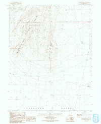
 1991 Coyote Knolls1991 Print · USGSThe stark desert landscape of Millard County is captured in the early nineties, revealing the intricate relief of the Great Basin. Geologists and local historians can trace the unique landforms of the Coyote Knolls and the sprawling Tule Valley (Depression).
 - 1991 Map of Middle Mountain
 1991 Middle Mountain1991 Print · USGSThe western Millard County high desert is documented in the early nineties, showing a landscape of isolated ranges and vast basins. Researchers can trace remote routes like Cowboy Road or locate landmarks such as Pine Pass Reservoir and Cat Knoll.
 - 1991 Map of Trout Creek SW
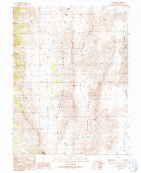
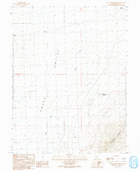
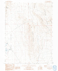
 1991 Trout Creek SW1991 Print · USGSJuab and Millard Counties are shown during the early nineties at the junction of mountain peaks and desert basins. Researchers can trace the desert mining legacy near Tungstonia through local prospects and find old routes like the Gandy Road.
 - 1991 Map of Chalk Knolls
 1991 Chalk Knolls1991 Print · USGSThe arid basins and high ranges of western Utah are captured in this late-century survey of the Tule Valley. Researchers can trace remote water sources like Willow Spring and the distinctive topography of the Chalk Knolls and Confusion Range.
 - 1991 Map of Eskdale
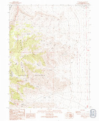
 1991 Eskdale1991 Print · USGSSnake Valley life in the early nineties centered on the small community of Eskdale and its essential water infrastructure. Genealogists and historians can trace the landscape of Millard County through features like Buckskin Well (Flowing), the Baker roadway, and the foothills of the Conger Range.
 - 1991 Map of Thompson Knoll
 1991 Thompson Knoll1991 Print · USGSMillard County's high desert landscape is documented here in the early nineties as it transitions from mountain peaks to open flats. Researchers can trace remote water sources like Thompson Knoll Reservoir and industrial sites such as the Gravel Pit near Boobs Canyon.
 - 1991 Map of Skull Rock Pass
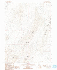
 1991 Skull Rock Pass1991 Print · USGSThe high ridges of the House Range in Millard County are shown here as they appeared in the early 1990s. Trace the remote network of 4WD trails leading to Skull Rock Pass, the curious Hell'n Moriah Kitchen, and local landmarks like The Stairs.
 - 1991 Map of Gandy
 1991 Gandy1991 Print · USGSSnake Valley and the remote western border of Utah appear here as they were in the early nineties, focused on the small outposts of Gandy and Smithville. Researchers can trace old routes like Gandy Road to find isolated landmarks including a lonely Grave and the Bishop Springs Area.
 - 1991 Map of Hell'n Moriah Canyon
 1991 Hell'n Moriah Canyon1991 Print · USGSMillard County, Utah, is seen here at the start of the nineties as a region defined by remote basin-and-range topography. Genealogists and researchers can trace local landmarks like Ibex Corral, Jackson Pond, and the tracks along Hell'n Moriah Canyon.
 - 1991 Map of Pyramid Knoll
 1991 Pyramid Knoll1991 Print · USGSMillard County's high desert and the Confusion Range are meticulously mapped here in the early nineties. Researchers can trace ranching history and remote navigation routes via landmarks like Probst Corral and Snake Pass Road.
 - 1991 Map of Dowdell Canyon
 1991 Dowdell Canyon1991 Print · USGSThe high desert of western Utah in the early nineties is revealed here through the stark relief of the Confusion Range. Trace the paths of early prospectors and ranchers via a lone prospect, a remote Corral, and several 4WD trails.
 - 1991 Map of North Knoll Spring
 1991 North Knoll Spring1991 Print · USGSSnake Valley and the slopes of Plympton Ridge appear in this Millard County record from the early nineties. Researchers can trace the desert infrastructure of the era through isolated landmarks like North Knoll Spring, the Gravel Pit, and a Corral in the high Bench country.
 - 1991 Map of Hole In The Ground
 1991 Hole In The Ground1991 Print · USGSSnake Valley and the foothills of the Conger Range are captured in this early nineties survey of western Millard County. Local researchers can trace ranching and mining footprints through Robison Ranch, the Prospects, and the eponymous Hole in the Ground.
 - 1991 Map of Crystal Peak
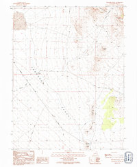
 1991 Crystal Peak1991 Print · USGSMillard County's high desert landscape is documented here in the early nineties, showing a region where travel is dictated by mountain gaps and seasonal water. Trace the routes through Snake Pass and Crystal Peak Pass, or locate the Snake Pass Reservoir and Painted Potholes.
 - 1991 Map of Cowboy Pass
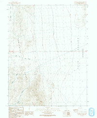
 1991 Cowboy Pass1991 Print · USGSThe western reaches of Millard County are captured here in the early nineties, centered on the high desert passes of the Confusion Range. Genealogists and historians can trace old routes through Cowboy Pass and locate remote water sources such as Indian Trail Well and Willow Spring.
 - 1991 Map of Bullgrass Knoll
 1991 Bullgrass Knoll1991 Print · USGSMillard County's high desert landscape is recorded in the early nineties, showcasing the rugged divide between upland plateaus and deep valley floors. Researchers can trace the network of 4WD trails connecting Bullgrass Knoll to Kings Canyon and the secluded basin of Little Horse Heaven.
 - 1991 Map of Miller Cove
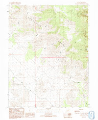
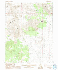
 1991 Miller Cove1991 Print · USGSMillard County's high-desert peaks and deep canyons are captured here during the final decade of the twentieth century. Miners and explorers can trace old workings like the Klondike Mine and Open Pit Mine among the elevations of the Sawtooth Mountain.
 - 1991 Map of Notch Peak
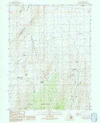
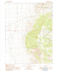 1991 Notch Peak1991 Print · USGSThe high House Range and the depths of the Tule Valley are captured here in the early nineties, showing a landscape defined by mining and isolation. Researchers can locate The Hermits Cabin and trace mining history at the Brown Queen Mine or various prospects near Orr Ridge.
 - 1991 Map of Foote Range
 1991 Foote Range1991 Print · USGSMillard County's high desert landscape is documented here in the early nineties, revealing a network of vital water sources and sharp ridges. Researchers can locate remote watering points like Bishop Springs and Twin Springs or trace paths through Wild Horse Pass.
Showing maps 1-25 of 36
Top cities of Millard County
- Delta historical maps
- Fillmore historical maps
- Hinckley historical maps
- Oak City historical maps
- Kanosh historical maps
- Holden historical maps
See more
Frequently asked questions
- What are the different types of historical maps available for Millard County?
- What is the oldest map of Millard County?
- Where can I purchase historical maps of Millard County for my home or office?
- Where can I download high-res historical maps of Millard County?
- Are there historical topographic maps available for Millard County?
- Is there historical aerial imagery available for Millard County?
- Where are historical maps of Millard County sourced from?