Old Maps of Ophir, Utah for Metal Detecting
Plan your next treasure hunt with 23 historic maps of Ophir. Find old homesites, ghost towns, trails, and gathering spots that may be lost to time — perfect for identifying promising metal detecting locations.
- Locate forgotten sites: Uncover places like long-lost settlements, abandoned rail lines, or gathering spots.
- Plan better hunts: Use map overlays combined with LiDAR or satellite views to narrow in on historically rich areas.
- Made for detectorists: Thousands of hobbyists use these maps to discover relics, coins, and hidden history.
Use these historic maps to boost your research and find new opportunities beneath the surface of Ophir.
Ophir, UT maps
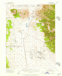
(23)- 1885 Map of Tooele Valley
 1885 Tooele Valley1885 Print · USGSThe valleys and ranges west of the Wasatch are captured here in the mid-1880s, showcasing the early mining and rail infrastructure of the region. Genealogists can trace early settlements like Grantsville, Ophir, and Stockton, or the route of the Utah and Nevada R. R.6 unique versions available
 - 1915 Map of Fairfield, 1957 Print
 1915 Fairfield1957 Print · USGSThe Oquirrh Mountains and Cedar Valley come alive in this early twentieth-century survey of Utah's mining and military landscapes. Genealogists and historians can trace rail stops at Fairfield Sta, mining claims at Queen Mine, and the National Cemetery.
 - 1917 Map of Fairfield
 1917 Fairfield1917 Print · USGSThe Oquirrh Mountains and Cedar Valley appear here just before the close of the first World War. Genealogists and industrial historians can trace the mining networks of Ophir, Mercur, and the Chloride Point Mine alongside the early Fairfield settlement.2 unique versions available
 - 1918 Map of Stockton
 1918 Stockton1918 Print · USGSTooele County mining and ranching culture are caught in detail just before the close of the Great War. Genealogists and historians can trace the rail lines connecting Stockton and Ophir, as well as named family properties like Bales Ranch and Johnson Ranch.4 unique versions available
 - 1953 Map of Tooele, 1968 Print
 1953 Tooele1968 Print · USGSTooele County is shown here in the 1950s, a vast landscape transitioning between the industrial growth of the Salt Lake Valley and isolated military testing grounds. Researchers can trace the routes of the Western Pacific railroad and locate historic outposts like Iosepa Ranch and St John Station.3 unique versions available
 - 1955 Map of Stockton, 1957 Print
 1955 Stockton1957 Print · USGSThe mining camps of the Oquirrh Mountains and the sprawling military installations of the Tooele Valley meet in this mid-century survey. Researchers can trace the rail-to-mine network connecting Stockton and Bauer to high-elevation sites like Ophir and the Shooting Star Mine.2 unique versions available
 - 1955 Map of Tooele, 1958 Print
 1955 Tooele1958 Print · USGSTooele County and the Great Salt Lake are captured here during the mid-fifties, an era of burgeoning military testing and industrial mining. Researchers can trace the rail sidings at Salduro Station, the grounds of the Deseret Chemical Corps Depot, and the International Smelting Co facilities.3 unique versions available
 - 1968 Map of Mercur, 1970 Print
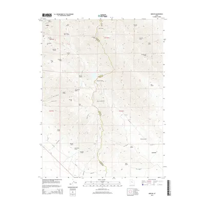
 1968 Mercur1970 Print · USGSThe Oquirrh Mountains mining district comes into sharp focus during the late 1960s, revealing a landscape of industrial extraction and high-altitude settlements. Trace the legacy of gold and silver production at the Geyser Marion Mine or locate the historical footprints of Sunshine (Site) and Manning (Site).2 unique versions available
 - 1979 Map of Rush Valley
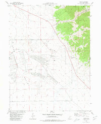
 1979 Rush Valley1979 Print · USGSTooele and Utah Counties during the late seventies reveal a unique transition from historic mining and ranching to modern military operations. Researchers can trace the Union Pacific Railroad past historic sites like Fairfield and mining camps such as Ophir.2 unique versions available
 - 1980 Map of Ophir
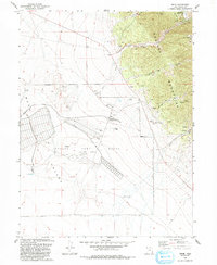
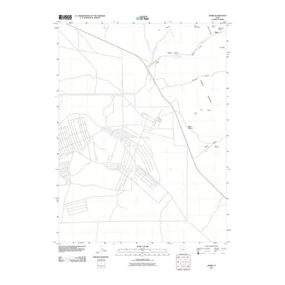
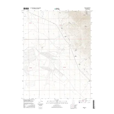
 1980 Ophir1980 Print · USGSOphir and the surrounding Oquirrh Mountains are shown in the late 1970s as a landscape of intensive mining and military operations. Researchers can locate the Montana Mine and the extensive grounds of the Tooele Army Depot alongside local landmarks like Bates Ranch.2 unique versions available
 - 1993 Map of Mercur
 1993 Mercur1993 Print · USGSThe Oquirrh Mountains in the 1990s show a landscape shaped by Utah's mining legacy. Genealogists and historians can trace the remnants of historic camps like Mercur (Site) and Sunshine (Site) alongside the massive Open Pit Mine.
 - 1993 Map of Ophir
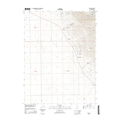
 1993 Ophir1993 Print · USGSThe mining heights of the Oquirrh Mountains meet the broad Rush Valley in this 1990s record of Utah's industrial and military heritage. Researchers can trace the extensive mine works around Ophir, find the Cemetery, and locate the Tooele Army Depot (South Area).
 - 1997 Map of Mercur, 2002 Print
 1997 Mercur2002 Print · USGSThe Oquirrh Mountains in the late twentieth century reveal a landscape of deep mining history and forgotten town sites. Genealogists and historians can trace the foundations of Mercur, Manning, and Sunshine alongside an Old Railroad Grade.
 - 2011 Map of Mercur, 2011 Print
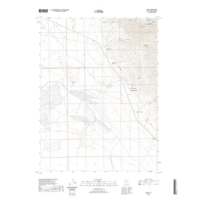
 2011 Mercur2011 Print · USGSCovers Ophir, including Eagle Mountain, Cedar Fort, and other nearby areas
 - 2011 Map of Ophir, 2011 Print
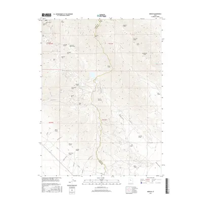
 2011 Ophir2011 Print · USGSCovers Ophir, including West Mercur, Tooele County, and other nearby areas
 - 2014 Map of Ophir, 2014 Print
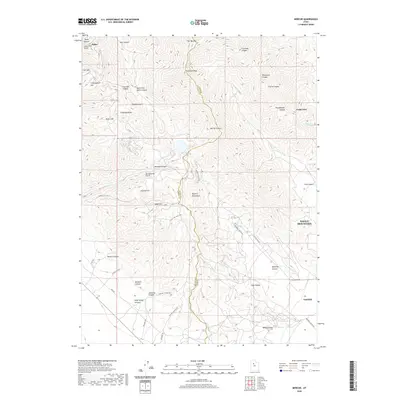
 2014 Ophir2014 Print · USGSCovers Ophir, including West Mercur, Tooele County, and other nearby areas
 - 2014 Map of Mercur, 2014 Print
 2014 Mercur2014 Print · USGSCovers Ophir, including Eagle Mountain, Cedar Fort, and other nearby areas
 - 2017 Map of Ophir, 2017 Print
 2017 Ophir2017 Print · USGSCovers Ophir, including West Mercur, Tooele County, and other nearby areas
 - 2017 Map of Mercur, 2017 Print
 2017 Mercur2017 Print · USGSCovers Ophir, including Eagle Mountain, Cedar Fort, and other nearby areas
 - 2020 Map of Ophir, 2020 Print
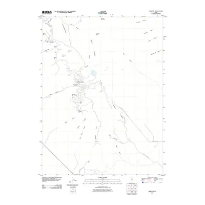
 2020 Ophir2020 Print · USGSCovers Ophir, including West Mercur, Tooele County, and other nearby areas
 - 2020 Map of Mercur, 2020 Print
 2020 Mercur2020 Print · USGSCovers Ophir, including Eagle Mountain, Cedar Fort, and other nearby areas
 - 2023 Map of Ophir, 2023 Print
 2023 Ophir2023 Print · USGSThe Oquirrh Mountains and Rush Valley are shown here in modern detail, preserving the layout of historic mining districts. Genealogists and historians can locate several burial sites including Ophir Old Cem, Mercur Cem, and the remote Johnson Cem.
 - 2023 Map of Mercur, 2023 Print
 2023 Mercur2023 Print · USGSThe Oquirrh Mountains and the high valleys of central Utah are captured here in the modern era. Genealogists and historians can trace the geography of old mining claims and settlements through landmarks like Silveropolis Hill, Fairfield, and the Violet Ray Mine Loop.
End of results
Showing maps 1-23 of 23
Top cities near Ophir
- West Jordan historical maps
- South Jordan historical maps
- Eagle Mountain historical maps
- Herriman historical maps
- Tooele historical maps
- Grantsville historical maps
See more
Frequently asked questions
- What are the different types of historical maps available for Ophir?
- What is the oldest map of Ophir?
- Where can I purchase historical maps of Ophir for my home or office?
- Where can I download high-res historical maps of Ophir?
- Are there historical topographic maps available for Ophir?
- Is there historical aerial imagery available for Ophir?
- Where are historical maps of Ophir sourced from?