2000s (21st Century) Maps of St. George, Utah
Explore 13 historic maps of St. George from the 2000s (21st Century). These maps offer a rare glimpse into what life looked like during the 2000s — showing old roads, neighborhoods, homes, and landmarks that have changed or disappeared over time.
Whether you're researching your family's past, planning a metal detecting trip, or studying how St. George's landscape evolved across the 2000s, these high-resolution maps are a powerful tool for exploring the history of this region.
- Focus on a specific era: All maps on this page are from the 2000s, giving you a focused view of this time period.
- See what’s changed: Compare century-old streets, trails, and buildings to today's modern landscape using overlays and satellite layers.
- Research with precision: Use these maps for genealogy, historical research, land use analysis, or educational projects.
- View, download, or print: Maps are fully viewable online in high resolution, and can be downloaded or printed for your own records.
Start exploring St. George's history through authentic maps from the 2000s. This is your window into the past.
St. George, UT maps
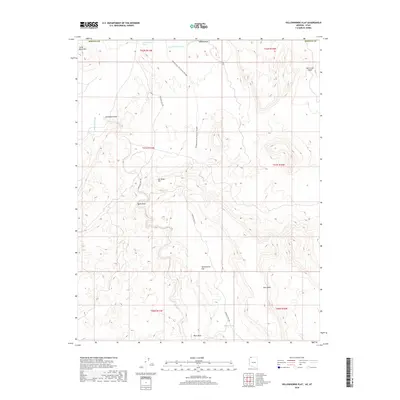
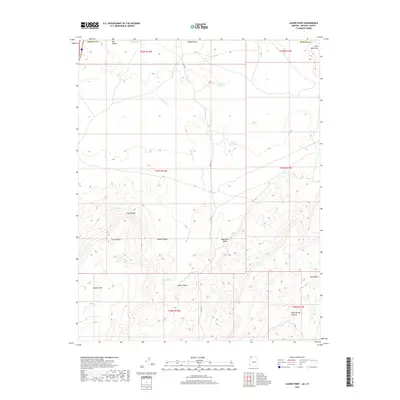
(13)- 2011 Map of Lizard Point, 2011 Print
 2011 Lizard Point2011 Print · USGSCovers St. George, including Mohave County, Washington County, and other nearby areas2 unique versions available
 - 2011 Map of Yellowhorse Flat, 2011 Print
 2011 Yellowhorse Flat2011 Print · USGSCovers St. George, including Mohave County, Washington County, and other nearby areas2 unique versions available
 - 2014 Map of Lizard Point, 2014 Print
 2014 Lizard Point2014 Print · USGSCovers St. George, including Mohave County, Washington County, and other nearby areas
 - 2014 Map of Yellowhorse Flat, 2014 Print
 2014 Yellowhorse Flat2014 Print · USGSCovers St. George, including Mohave County, Washington County, and other nearby areas
 - 2018 Map of Yellowhorse Flat, 2018 Print
 2018 Yellowhorse Flat2018 Print · USGSCovers St. George, including Mohave County, Washington County, and other nearby areas
 - 2018 Map of Lizard Point, 2018 Print
 2018 Lizard Point2018 Print · USGSCovers St. George, including Mohave County, Washington County, and other nearby areas
 - 2021 Map of Lizard Point, 2021 Print
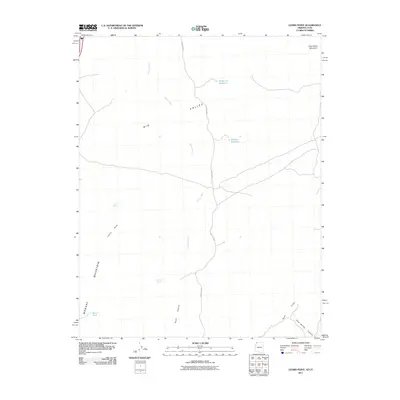
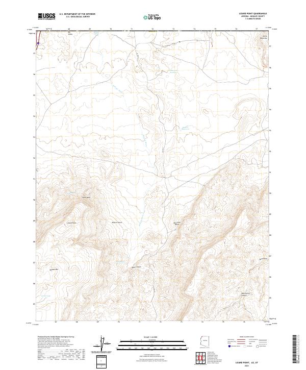 2021 Lizard Point2021 Print · USGSNorthwestern Mohave County comes into focus in this contemporary study of the high desert terrain near the Utah border. Researchers can trace the essential water sources of this arid landscape, from Lizard Spring and Mokaac Reservoir to the depths of Quail Canyon.
 - 2021 Map of Yellowhorse Flat, 2021 Print
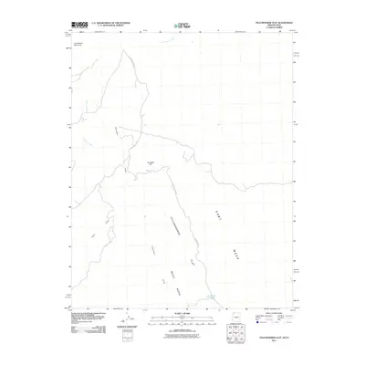
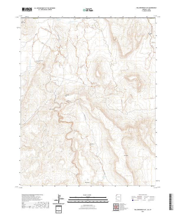 2021 Yellowhorse Flat2021 Print · USGSThe Arizona-Utah borderlands come into focus in the early twenty-first century, showing a remote landscape of high mesas and desert washes. Trace historic backcountry routes like Sunshine Trail Rd or locate landmarks like Joe Blake Hill and Blake Pond.
 - 2023 Map of Washington, 2023 Print
 2023 Washington2023 Print · USGSThe growing communities of Washington and St. George are documented here alongside the protected lands of the Dixie National Forest. Researchers can locate civic landmarks like Washington City Hall and the historic Old Alexander Cem.
 - 2023 Map of White Hills, 2023 Print
 2023 White Hills2023 Print · USGSThe outskirts of Santa Clara and St. George come into focus in 2023 as residential growth meets the Mojave Desert. Researchers can trace the legacy of regional water systems through the Santa Clara Saint-George Canal and locate the historic site of Atkinville near the Virgin River.
 - 2023 Map of Santa Clara, 2023 Print
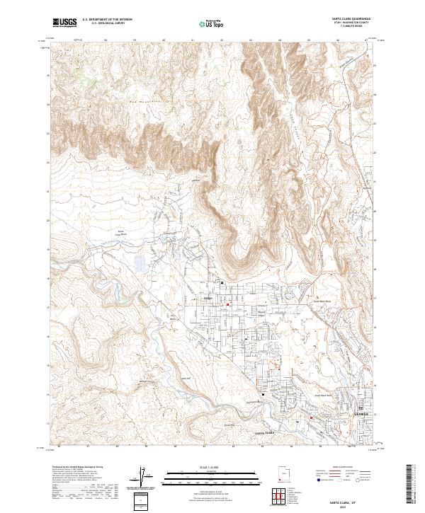 2023 Santa Clara2023 Print · USGSSanta Clara and Ivins are captured here at a moment of modern growth against a desert backdrop. Researchers can locate family heritage sites like Santa Clara Cem or trace the essential water routes of the Upper Santa Clara Bench Canal and the Santa Clara River.
 - 2023 Map of Washington Dome, 2023 Print
 2023 Washington Dome2023 Print · USGSSouthwestern Utah's growing desert communities are documented here as suburban expansion meets the ancient geography of the Warner Valley. Researchers can trace the path of the Saint George and Washington Canal or locate local landmarks like Washington Dome and Beehive Dome.
 - 2023 Map of Saint George, 2023 Print
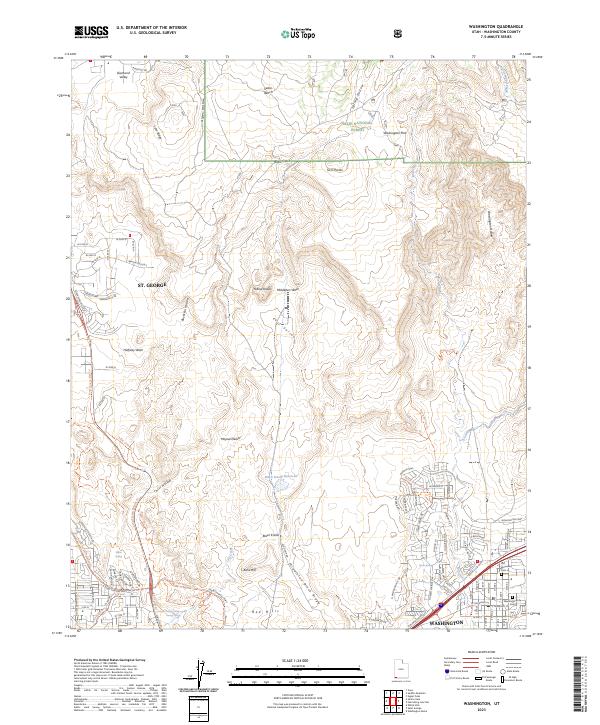
 2023 Saint George2023 Print · USGSSouthwest Utah's rapid growth at the edge of the desert is mapped here, showing where the established centers of Washington and St. George meet the canyonlands. Genealogists and historians can trace the development of suburban Bloomington and Little Valley alongside landmarks like the Washington County Court House and Saint George City Cem.
End of results
Showing maps 1-13 of 13
Top cities near St. George
- Washington historical maps
- Hurricane historical maps
- Ivins historical maps
- Santa Clara historical maps
- Diamond Valley historical maps
- Leeds historical maps
See more
Top neighborhoods of St. George
- Bloomington historical maps
- Little Valley historical maps
- Desert Canyons historical maps
- Hidden Valley historical maps
- Sun River historical maps
- Bloomington Hills historical maps
See more
Frequently asked questions
- What are the different types of historical maps available for St. George?
- What is the oldest map of St. George?
- Where can I purchase historical maps of St. George for my home or office?
- Where can I download high-res historical maps of St. George?
- Are there historical topographic maps available for St. George?
- Is there historical aerial imagery available for St. George?
- Where are historical maps of St. George sourced from?