2020s Maps of York County, Virginia
Explore 13 historic maps of York County from the 2020s. These maps offer a rare glimpse into what life looked like during the 2020s — showing old roads, neighborhoods, homes, and landmarks that have changed or disappeared over time.
Whether you're researching your family's past, planning a metal detecting trip, or studying how York County's landscape evolved across the 2020s, these high-resolution maps are a powerful tool for exploring the history of this region.
- Focus on a specific era: All maps on this page are from the 2020s, giving you a focused view of this time period.
- See what’s changed: Compare century-old streets, trails, and buildings to today's modern landscape using overlays and satellite layers.
- Research with precision: Use these maps for genealogy, historical research, land use analysis, or educational projects.
- View, download, or print: Maps are fully viewable online in high resolution, and can be downloaded or printed for your own records.
Start exploring York County's history through authentic maps from the 2020s. This is your window into the past.
York County, VA maps
(13)- 2022 Map of East of New Point Comfort, 2022 Print
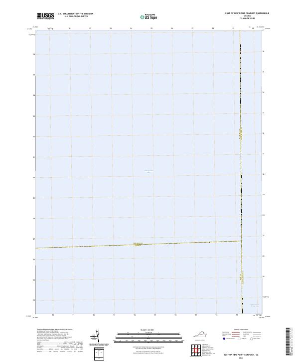 2022 East of New Point Comfort2022 Print · USGSCoastal Virginia waters are documented here in the early twenty-first century at the intersection of three maritime counties. Nautical researchers can trace the path of the Intracoastal Waterway as it traverses the open Chesapeake Bay.
 - 2022 Map of East of Poquoson East, 2022 Print
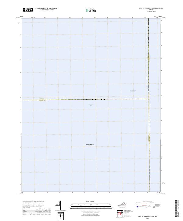 2022 East of Poquoson East2022 Print · USGSThe lower Chesapeake Bay's nautical boundaries are clearly defined in this modern survey of the coastal waters near the Virginia Peninsula. Maritime researchers can trace the path of the Intracoastal Waterway and the offshore limits of Poquoson.
 - 2022 Map of Poquoson East, 2022 Print
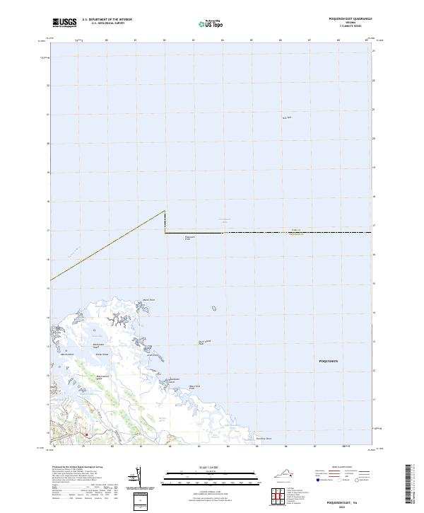 2022 Poquoson East2022 Print · USGSThe coastal margins of York County and Poquoson are documented here during the early twenty-first century as they meet the Chesapeake Bay. Researchers can trace landforms like Blackwalnut Ridge or locate ancestral proximity to Sandy Bay and Little Florida Road.
 - 2022 Map of Williamsburg, 2022 Print
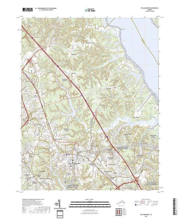 2022 Williamsburg2022 Print · USGSThe historic heart of WILLIAMSBURG and the College of William and Mary are documented here in the early 2020s. Genealogists and historians can locate the Galt Family Cem, Eastern State Hospital Cem, and military sites like CHEATHAM ANNEX.
 - 2022 Map of Yorktown, 2022 Print
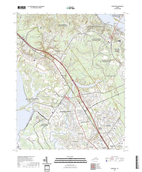 2022 Yorktown2022 Print · USGSCoastal Virginia's colonial heritage meets modern military installations on the Virginia Peninsula in the early 2020s. Researchers can trace historic cemeteries and landmarks like the Yorktown National Cem, Cornwallis Cave, and Jackson Post Cem alongside the expansive Naval Weapons Station Yorktown.
 - 2022 Map of Poquoson West, 2022 Print
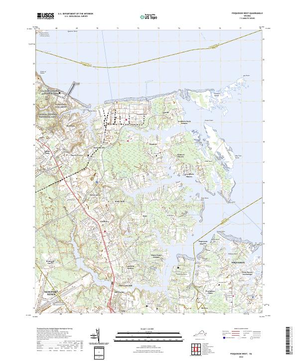 2022 Poquoson West2022 Print · USGSThe Virginia Tidewater is seen here in recent years, showing the intersection of military history, maritime research, and coastal residential life. Researchers can trace local lineage at Grafton Baptist Church Cem or locate historic sites like Harwoods Mill and the Hopson Gravesite.
 - 2022 Map of New Point Comfort, 2022 Print
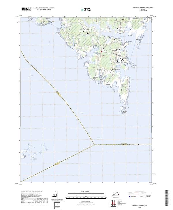 2022 New Point Comfort2022 Print · USGSThe southern tip of Mathews County meets the Chesapeake in the early 2020s, showing a coastal landscape shaped by tide and tradition. Researchers can trace dozens of family burial sites including Hurst Burial Ground, Borum Cem, and the Antioch Baptist Church Cem.
 - 2022 Map of Newport News North, 2022 Print
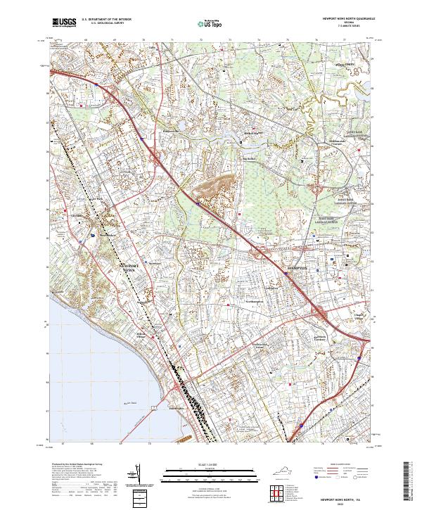 2022 Newport News North2022 Print · USGSNewport News and Hampton are shown at a peak of modern development, framed by the James River. Trace the layout of historic neighborhoods like Hilton Village, Aberdeen Gardens, and the military grounds of Langley Air Force Base.
 - 2022 Map of Gressitt, 2022 Print
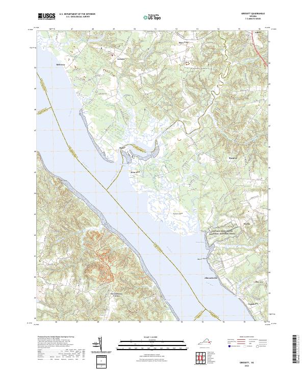 2022 Gressitt2022 Print · USGSThe York River tidewater region comes alive in the early twenty-first century, showcasing a historic landscape of riverine settlements and ancient trails. Genealogists can trace family lands near Capahosic, Allmondsville, and the Captain John Smith National Historic Trail.
 - 2022 Map of Norge, 2022 Print
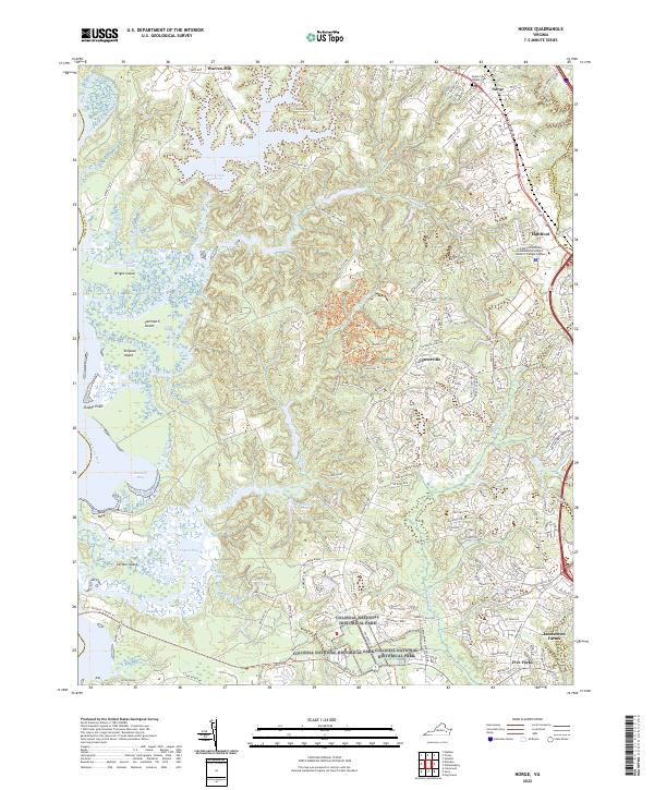 2022 Norge2022 Print · USGSJames City County is shown in modern detail as suburban growth meets preserved lands in the early 2020s. Researchers can trace the evolution of local landmarks from Norge and Lightfoot to the boundaries of the Colonial National Historical Park.
 - 2022 Map of Achilles, 2022 Print
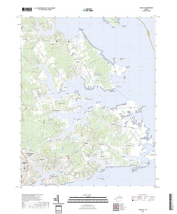 2022 Achilles2022 Print · USGSGloucester's Tidewater necks and tidal reaches are documented here in the early twenty-first century as the landscape continues its long relationship with the Chesapeake. Trace local roots at Saint Pauls Cem or explore the waterfront settlements of Achilles and Bena.
 - 2022 Map of Hog Island, 2022 Print
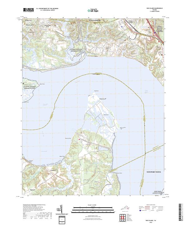 2022 Hog Island2022 Print · USGSThe James River and the marshes of Hog Island dominate this coastal landscape during the early 2020s. Genealogists and historians can trace family sites at Travis Cem, locate the Little Zion Baptist Church near Grove, or explore the boundaries of Chippokes.
 - 2023 Map of Clay Bank, 2023 Print
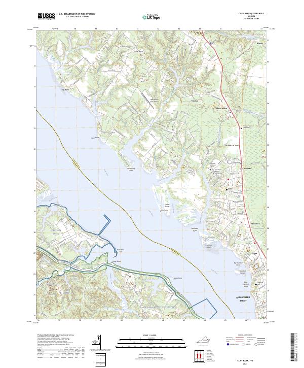 2023 Clay Bank2023 Print · USGSThe York River shoreline and Gloucester County interior appear here in the early twenty-first century, showing a landscape of tidal marshes and military installations. Genealogists can locate family sites like the Hill Family Cem and the Rosewell Memorial Garden.
End of results
Showing maps 1-13 of 13
Top cities of York County
Frequently asked questions
- What are the different types of historical maps available for York County?
- What is the oldest map of York County?
- Where can I purchase historical maps of York County for my home or office?
- Where can I download high-res historical maps of York County?
- Are there historical topographic maps available for York County?
- Is there historical aerial imagery available for York County?
- Where are historical maps of York County sourced from?