2020s Maps of Chelan County, Washington
Explore 166 historic maps of Chelan County from the 2020s. These maps offer a rare glimpse into what life looked like during the 2020s — showing old roads, neighborhoods, homes, and landmarks that have changed or disappeared over time.
Whether you're researching your family's past, planning a metal detecting trip, or studying how Chelan County's landscape evolved across the 2020s, these high-resolution maps are a powerful tool for exploring the history of this region.
- Focus on a specific era: All maps on this page are from the 2020s, giving you a focused view of this time period.
- See what’s changed: Compare century-old streets, trails, and buildings to today's modern landscape using overlays and satellite layers.
- Research with precision: Use these maps for genealogy, historical research, land use analysis, or educational projects.
- View, download, or print: Maps are fully viewable online in high resolution, and can be downloaded or printed for your own records.
Start exploring Chelan County's history through authentic maps from the 2020s. This is your window into the past.
Chelan County, WA maps
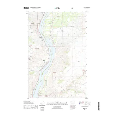
(166)- 2020 Map of Wenatchee Heights, 2020 Print
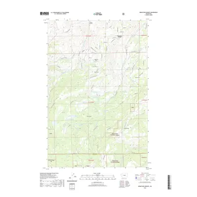 2020 Wenatchee Heights2020 Print · USGSCovers Chelan County, including Kittitas County, United States, and other nearby areas
 - 2020 Map of Winesap, 2020 Print
 2020 Winesap2020 Print · USGSCovers Chelan County, including Maplecreek, Winesap, and other nearby areas
 - 2020 Map of Mount David, 2020 Print
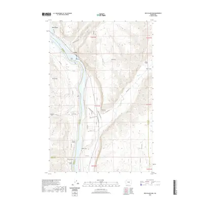
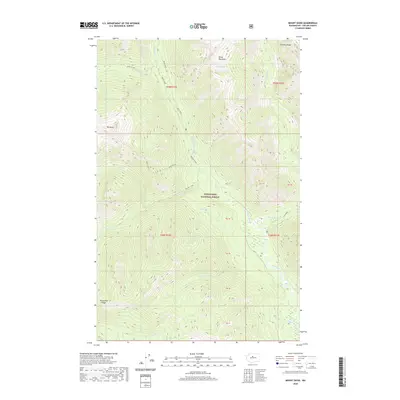 2020 Mount David2020 Print · USGSCovers Chelan County, including United States, Washington, and other nearby areas
 - 2020 Map of Manson, 2020 Print
 2020 Manson2020 Print · USGSCovers Chelan County, including Greens Landing, Shrine Beach, and other nearby areas
 - 2020 Map of Jack Ridge, 2020 Print
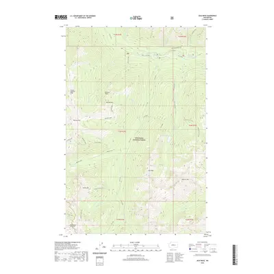 2020 Jack Ridge2020 Print · USGSCovers Chelan County, including Kittitas County, United States, and other nearby areas
 - 2020 Map of Cooper Ridge, 2020 Print
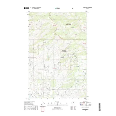 2020 Cooper Ridge2020 Print · USGSCovers Chelan County, including Okanogan County, United States, and other nearby areas
 - 2020 Map of Malaga, 2020 Print
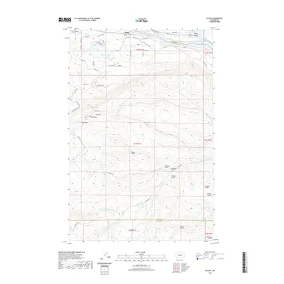 2020 Malaga2020 Print · USGSCovers Chelan County, including Rock Island, Malaga, and other nearby areas
 - 2020 Map of Monitor, 2020 Print
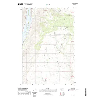
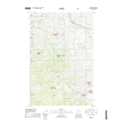 2020 Monitor2020 Print · USGSCovers Chelan County, including Monitor, United States, and other nearby areas
 - 2020 Map of Sugarloaf Peak, 2020 Print
 2020 Sugarloaf Peak2020 Print · USGSCovers Chelan County, including United States, Washington, and other nearby areas
 - 2020 Map of Chelan, 2020 Print
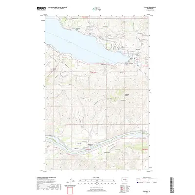 2020 Chelan2020 Print · USGSCovers Chelan County, including Chelan, Lakeside, and other nearby areas
 - 2020 Map of Tiptop, 2020 Print
 2020 Tiptop2020 Print · USGSCovers Chelan County, including United States, Washington, and other nearby areas
 - 2020 Map of Cashmere Mountain, 2020 Print
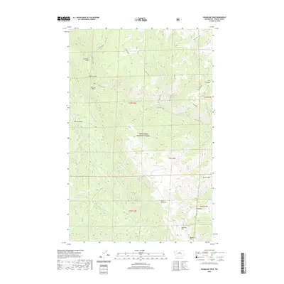
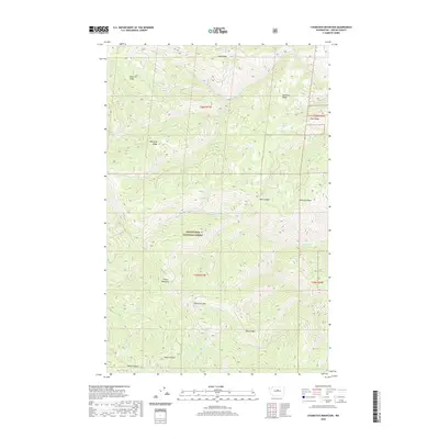
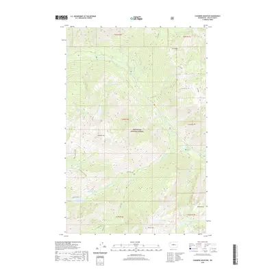 2020 Cashmere Mountain2020 Print · USGSCovers Chelan County, including United States, Washington, and other nearby areas
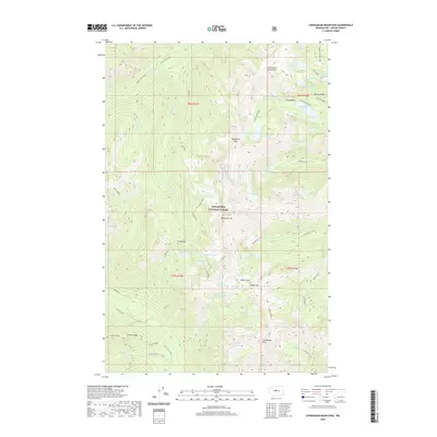
 - 2020 Map of Chumstick Mountain, 2020 Print
 2020 Chumstick Mountain2020 Print · USGSCovers Chelan County, including United States, Washington, and other nearby areas
 - 2020 Map of Mount Howard, 2020 Print
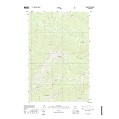 2020 Mount Howard2020 Print · USGSCovers Chelan County, including Berne, Gaynor, and other nearby areas
 - 2020 Map of Rock Island, 2020 Print
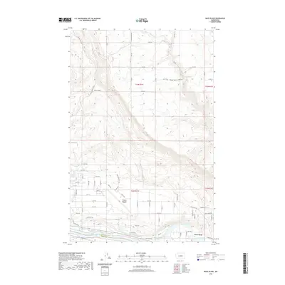 2020 Rock Island2020 Print · USGSCovers Chelan County, including Rock Island, Douglas County, and other nearby areas
 - 2020 Map of Mission Peak, 2020 Print
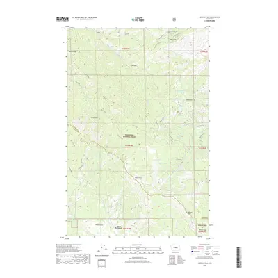 2020 Mission Peak2020 Print · USGSCovers Chelan County, including Kittitas County, United States, and other nearby areas
 - 2020 Map of Wenatchee, 2020 Print
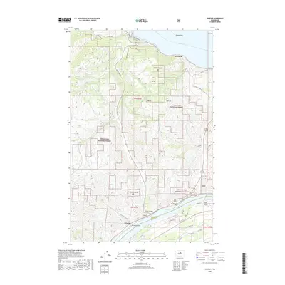
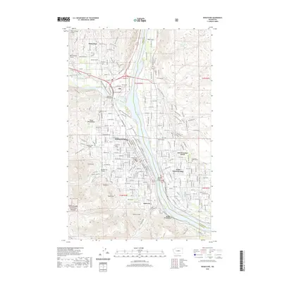 2020 Wenatchee2020 Print · USGSCovers Chelan County, including Wenatchee, East Wenatchee, and other nearby areas
 - 2020 Map of Orondo, 2020 Print
 2020 Orondo2020 Print · USGSCovers Chelan County, including Wagnersburg, Douglas County, and other nearby areas
 - 2020 Map of Enchantment Lakes, 2020 Print
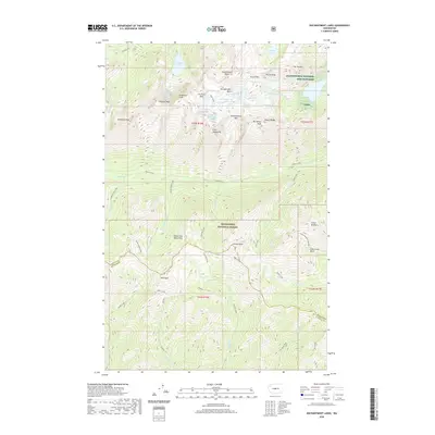 2020 Enchantment Lakes2020 Print · USGSCovers Chelan County, including Kittitas County, United States, and other nearby areas
 - 2020 Map of Mount Stuart, 2020 Print
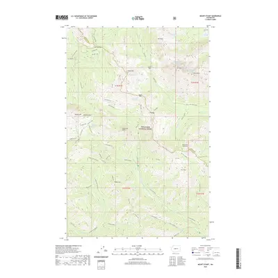 2020 Mount Stuart2020 Print · USGSCovers Chelan County, including Kittitas County, United States, and other nearby areas
 - 2020 Map of Entiat, 2020 Print
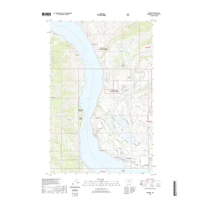
 2020 Entiat2020 Print · USGSCovers Chelan County, including Entiat, Orondo, and other nearby areas
 - 2020 Map of Rock Island Dam, 2020 Print
 2020 Rock Island Dam2020 Print · USGSCovers Chelan County, including Voltage, Grant County, and other nearby areas
 - 2020 Map of Chiwaukum Mountains, 2020 Print
 2020 Chiwaukum Mountains2020 Print · USGSCovers Chelan County, including United States, Washington, and other nearby areas
 - 2020 Map of Winton, 2020 Print
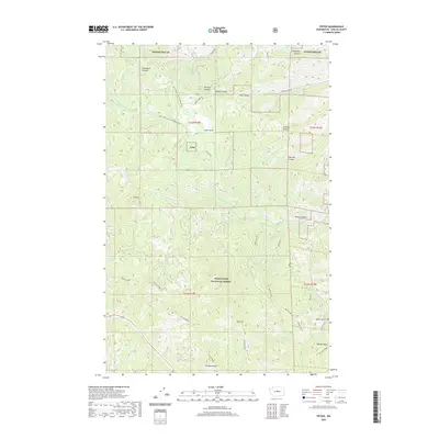
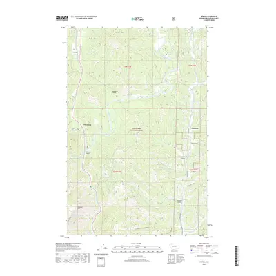 2020 Winton2020 Print · USGSCovers Chelan County, including Chumstick, Winton, and other nearby areas
 - 2020 Map of Wells Dam, 2020 Print
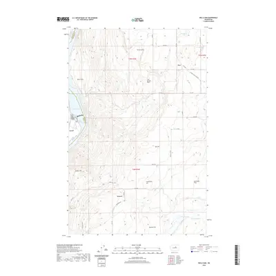 2020 Wells Dam2020 Print · USGSCovers Chelan County, including Dyer, Howard, and other nearby areas
Showing maps 1-25 of 166
Top cities of Chelan County
- Wenatchee historical maps
- Chelan historical maps
- Cashmere historical maps
- Leavenworth historical maps
- Entiat historical maps
Frequently asked questions
- What are the different types of historical maps available for Chelan County?
- What is the oldest map of Chelan County?
- Where can I purchase historical maps of Chelan County for my home or office?
- Where can I download high-res historical maps of Chelan County?
- Are there historical topographic maps available for Chelan County?
- Is there historical aerial imagery available for Chelan County?
- Where are historical maps of Chelan County sourced from?