2000-2009 Maps of Chelan County, Washington
Explore 65 historic maps of Chelan County from 2000-2009. These maps offer a rare glimpse into what life looked like during the 2000s — showing old roads, neighborhoods, homes, and landmarks that have changed or disappeared over time.
Whether you're researching your family's past, planning a metal detecting trip, or studying how Chelan County's landscape evolved across the 2000s, these high-resolution maps are a powerful tool for exploring the history of this region.
- Focus on a specific era: All maps on this page are from the 2000s, giving you a focused view of this time period.
- See what’s changed: Compare century-old streets, trails, and buildings to today's modern landscape using overlays and satellite layers.
- Research with precision: Use these maps for genealogy, historical research, land use analysis, or educational projects.
- View, download, or print: Maps are fully viewable online in high resolution, and can be downloaded or printed for your own records.
Start exploring Chelan County's history through authentic maps from the 2000s. This is your window into the past.
Chelan County, WA maps
(65)- 2001 Map of Cooper Mountain, 2004 Print
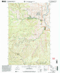 2001 Cooper Mountain2004 Print · USGSThe Methow Valley in north-central Washington is captured here at the turn of the millennium, showing a landscape defined by mountain peaks and river bends. Trace local history through the Methow Cemetery or locate old mining interests at Prospect and Prospects sites.
 - 2001 Map of Azwell, 2004 Print
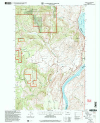 2001 Azwell2004 Print · USGSThe Columbia River corridor near the turn of the twenty-first century reveals a landscape of hydroelectric reservoirs and forest service lands. Local historians can trace early land divisions through Indian Allotment Boundaries near Azwell and the settlement of Starr.
 - 2002 Map of Martin Peak, 2006 Print
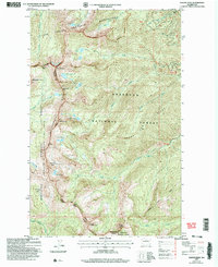 2002 Martin Peak2006 Print · USGSOkanogan and Chelan counties meet along the high Cascades in the early 2000s, showing a landscape defined by sharp ridges and alpine basins. Hikers and historians can trace high-altitude routes through Hoodoo Pass, past Foggy Dew Falls, and up to Martin Peak.2 unique versions available
 - 2002 Map of Mount Logan, 2006 Print
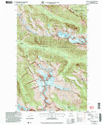 2002 Mount Logan2006 Print · USGSThe high Cascades at the Skagit and Chelan county line are documented here in the early 2000s, showing a landscape dominated by permanent ice and alpine trails. Researchers can trace the glaciated slopes of Mount Logan and locate remote backcountry sites like Cosmo Camp and Rock Cabin.
 - 2002 Map of Mount Arriva, 2006 Print
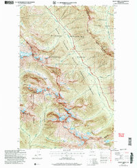 2002 Mount Arriva2006 Print · USGSThe high Cascades at the turn of the millennium are shown in this detailed study of the wilderness bordering Skagit and Okanogan counties. Hikers and historians can trace the high-altitude routes through Easy Pass, the remote Silent Lakes, and the crags of Black Peak.
 - 2002 Map of Gilbert, 2006 Print
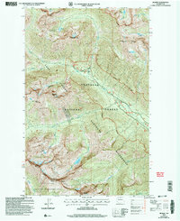 2002 Gilbert2006 Print · USGSThe high North Cascades meet at the Okanogan Co and Chelan Co line in the early 2000s, where mining and recreation intersect. Trace old mountain industry at the Crescent Mine or locate high-country landmarks like Gilbert Mountain and Louis Lake.
 - 2002 Map of McAlester Mountain, 2006 Print
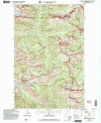 2002 McAlester Mountain2006 Print · USGSThe high alpine country of the North Cascades is documented here at the turn of the millennium, showing the intersection of park and wilderness boundaries. Outdoor historians and hikers can trace the Rainbow Creek Trail and locate remote landmarks like Fireweed Camp (NPS) and McAlester Pass.
 - 2002 Map of Oval Peak, 2006 Print
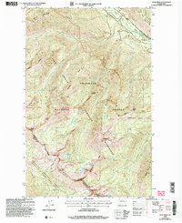 2002 Oval Peak2006 Print · USGSHigh alpine ridges and glacial basins define this early 2000s survey of the wilderness divide between Chelan and Okanogan Counties. Backcountry researchers can trace historical access routes like the Horseshoe Basin Trail and locate remote landmarks including Oval Peak, Silver Lake, and Buttermilk Meadow.
 - 2002 Map of Washington Pass, 2006 Print
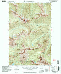 2002 Washington Pass2006 Print · USGSThe high North Cascades at the start of the twenty-first century are defined by the winding passage of the scenic highway through three national forests. Backpackers and historians can trace the steep routes over Rainy Pass, Cutthroat Pass, and the granite heights of Liberty Bell Mountain.
 - 2002 Map of Sun Mountain, 2006 Print
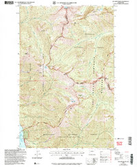 2002 Sun Mountain2006 Print · USGSThe high Cascades of Chelan and Okanogan counties are shown here as they were managed at the start of the twenty-first century. Trekkers and historians can trace the high-altitude trails connecting Sawtooth Ridge, Lake Juanita, and the Moore Point Recreation Area.
 - 2003 Map of Cashmere, 2006 Print
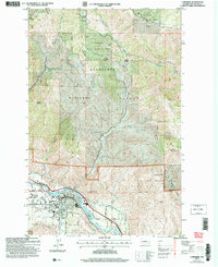 2003 Cashmere2006 Print · USGSThe Wenatchee River valley and its surrounding mountains are shown in the early 2000s, where agricultural lands meet the forest edge. Researchers can trace the Burlington Northern Santa Fe railway and locate the County Fairground and local cemetery.
 - 2003 Map of Leavenworth, 2006 Print
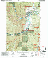 2003 Leavenworth2006 Print · USGSLeavenworth is shown here in the early 2000s, captured at the meeting point of mountain wilderness and valley settlement. Researchers can trace the development of the Leavenworth National Fish Hatchery and locate landmarks like Mtn View Cem and Castle Rock.
 - 2003 Map of Peshastin, 2006 Print
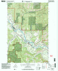 2003 Peshastin2006 Print · USGSChelan County is shown at the turn of the millennium as its river-valley settlements and orchard lands meet the national forest. Researchers can trace the layout of Peshastin and Dryden, locating local landmarks like the Drive-In Theater and Peshastin Pinnacles.
 - 2003 Map of The Cradle, 2006 Print
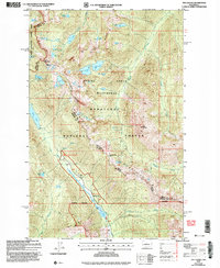 2003 The Cradle2006 Print · USGSThe high Cascades at the turn of the millennium are captured here, centered on the rugged peaks and glacial basins of the ALPINE LAKES WILDERNESS. Hikers and historians can trace routes through Paddy-Go-Easy Pass and identify remote landmarks like the Fish Lake Guard Station and The Cradle.
 - 2003 Map of Blewett, 2006 Print
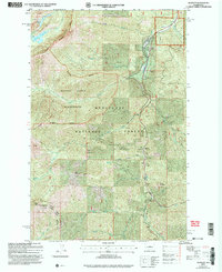 2003 Blewett2006 Print · USGSThe Wenatchee Mountains and Stuart Range come alive in this early 2000s survey of Washington's mining and wilderness history. Trace the legacy of mineral extraction near Blewett through numerous Prospects and explore the alpine waters of Nada Lake.
 - 2003 Map of Van Creek, 2006 Print
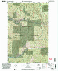 2003 Van Creek2006 Print · USGSChelan County is shown at the start of the millennium, following decades of forest management and topographical mapping in the Cascades. Researchers can trace the drainages of Chumstick Creek and Eagle Creek or locate landmarks like Medicine Spring.
 - 2003 Map of Entiat, 2006 Print
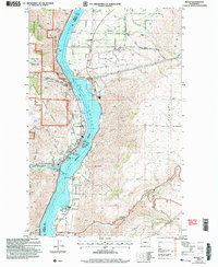 2003 Entiat2006 Print · USGSThe Columbia River corridor in the early 2000s reveals a landscape of orchard communities and rugged river breaks. Genealogists and local historians can locate the Orondo School, Brays Landing Cemetery, and landmarks like the Grange Hall in Orondo.
 - 2003 Map of Ardenvoir, 2006 Print
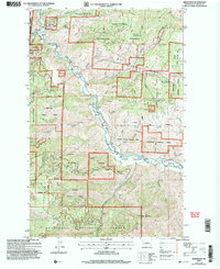 2003 Ardenvoir2006 Print · USGSLife in the Entiat Valley at the turn of the millennium centered on the river and the surrounding forest. Genealogists and local historians can locate Ardenvoir, the Entiat Cem, and the high-elevation Steliko Lookout among the canyons.
 - 2003 Map of Mount Stuart, 2006 Print
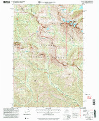 2003 Mount Stuart2006 Print · USGSThe high Cascades at the turn of the millennium are captured here in a period of transition for backcountry recreation and resource management. Researchers can trace the legacy of high-country mining at Mine Shafts Adit or explore alpine hydrology at Lake Camp Fire Girls and Gallagher Head Lake.
 - 2003 Map of Winton, 2006 Print
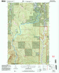 2003 Winton2006 Print · USGSChelan County is documented at the dawn of the new millennium as the mountain wilderness meets the Wenatchee River corridor. Researchers can identify local landmarks like the Winton settlement, the Hatchery near Chiwaukum, and the Swift Water Rapids.
 - 2003 Map of Tiptop, 2006 Print
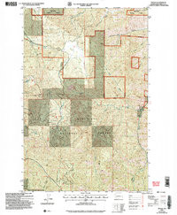 2003 Tiptop2006 Print · USGSThe Chelan backcountry at the turn of the millennium shows a landscape defined by the drainage of Mission Creek and the high points of Tiptop. Researchers can trace the terrain of Camas Land, find Deer Park Spring, and follow the winding path of Tronsen Ridge.
 - 2003 Map of Liberty, 2006 Print
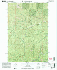 2003 Liberty2006 Print · USGSThe mining community of Liberty is shown in detail at the dawn of the 21st century, surrounded by the peaks of the Wenatchee Mountains. Genealogists and historians can trace numerous Mine Shafts and Strip Mines along Williams Creek and Swauk Creek.
 - 2003 Map of Enchantment Lakes, 2006 Print
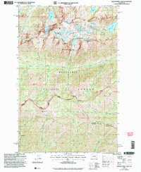 2003 Enchantment Lakes2006 Print · USGSThe high Cascades at the start of the new millennium are preserved here, showing the protected wilderness and national forest lands of central Washington. Hikers and historians can trace the paths between Colchuck Lake, the Enchantment Basin, and the remote Adit near Gold Creek.
 - 2003 Map of Monitor, 2006 Print
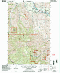 2003 Monitor2006 Print · USGSMonitor and the Wenatchee River valley are captured here at the start of the 21st century, showing the intersection of rail, road, and wilderness. Researchers can trace the path of the Burlington Northern Santa Fe or explore the rugged canyons of the Wenatchee National Forest, including Horse Lake Mountain and Mission Creek.
 - 2003 Map of Cashmere Mountain, 2006 Print
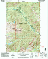 2003 Cashmere Mountain2006 Print · USGSChelan County is shown at the turn of the millennium, dominated by the high-elevation terrain of the Wenatchee National Forest. Hikers and historians can trace the drainage of Icicle Creek past Cashmere Mountain and remote waters like Lake Ruth and Lake Victoria.
Showing maps 1-25 of 65
Top cities of Chelan County
- Wenatchee historical maps
- Chelan historical maps
- Cashmere historical maps
- Leavenworth historical maps
- Entiat historical maps
Frequently asked questions
- What are the different types of historical maps available for Chelan County?
- What is the oldest map of Chelan County?
- Where can I purchase historical maps of Chelan County for my home or office?
- Where can I download high-res historical maps of Chelan County?
- Are there historical topographic maps available for Chelan County?
- Is there historical aerial imagery available for Chelan County?
- Where are historical maps of Chelan County sourced from?