2000s (21st Century) Maps of Kittitas County, Washington
Explore 380 historic maps of Kittitas County from the 2000s (21st Century). These maps offer a rare glimpse into what life looked like during the 2000s — showing old roads, neighborhoods, homes, and landmarks that have changed or disappeared over time.
Whether you're researching your family's past, planning a metal detecting trip, or studying how Kittitas County's landscape evolved across the 2000s, these high-resolution maps are a powerful tool for exploring the history of this region.
- Focus on a specific era: All maps on this page are from the 2000s, giving you a focused view of this time period.
- See what’s changed: Compare century-old streets, trails, and buildings to today's modern landscape using overlays and satellite layers.
- Research with precision: Use these maps for genealogy, historical research, land use analysis, or educational projects.
- View, download, or print: Maps are fully viewable online in high resolution, and can be downloaded or printed for your own records.
Start exploring Kittitas County's history through authentic maps from the 2000s. This is your window into the past.
Kittitas County, WA maps
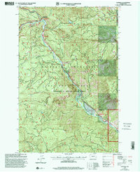
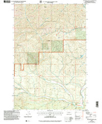
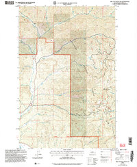
(380)- 2000 Map of Manastash Lake, 2001 Print
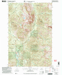
 2000 Manastash Lake2001 Print · USGSKittitas and Yakima counties at the start of the millennium are defined here by the high timber and drainages of the Cascades. Map collectors can trace the remote water sources and ridgelines of the Wenatchee National Forest, including Manastash Lake and Rocky Prairie.
 - 2000 Map of Cliffdell, 2001 Print
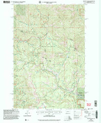
 2000 Cliffdell2001 Print · USGSThe Naches River valley in the Central Cascades is captured here at the end of the century, showing a landscape defined by mountain recreation and small riverside settlements. Researchers can trace the grounds of Camp Roganunda, find the Peterson Cem, and locate numerous sites like Sawmill Flat Campground.
 - 2003 Map of Ronald, 2006 Print
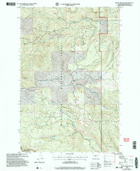
 2003 Ronald2006 Print · USGSThe coal country of the upper Yakima Valley is preserved here at the start of the twenty-first century. Genealogists and industrial historians can trace the footprints of the Roslyn-Cascade Mine No 4, the Cemetery at Roslyn, and the rail-trail at Nelson.
 - 2003 Map of The Cradle, 2006 Print
 2003 The Cradle2006 Print · USGSThe high Cascades at the turn of the millennium are captured here, centered on the rugged peaks and glacial basins of the ALPINE LAKES WILDERNESS. Hikers and historians can trace routes through Paddy-Go-Easy Pass and identify remote landmarks like the Fish Lake Guard Station and The Cradle.
 - 2003 Map of Reecer Canyon, 2006 Print
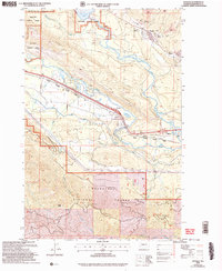
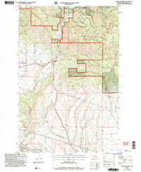
 2003 Reecer Canyon2006 Print · USGSUpper Kittitas County shows its forest-management and grazing history in the early 2000s, centered on the high ridges of the Wenatchee range. Researchers can trace historic stock routes like the Teanaway Wilson Stock Trail and locate landmarks such as Riders Cabin and Garrison Spring.
 - 2003 Map of Polallie Ridge, 2006 Print
 2003 Polallie Ridge2006 Print · USGSThe Cascades high country at the turn of the millennium shows a land of protected peaks and alpine waters. You can trace the Pacific Crest National Scenic Trail as it winds past Waptus Lake and locate old Prospects near Red Mountain.
 - 2003 Map of Teanaway Butte, 2006 Print
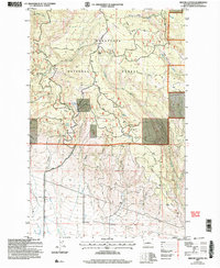
 2003 Teanaway Butte2006 Print · USGSThe Kittitas County high country is shown here at the turn of the millennium, centered on the headwaters of the Teanaway River. Researchers can trace the historic location of Casland (Site) and find landmarks like Teanaway Butte and Liars Prairie.
 - 2003 Map of Swauk Prairie, 2006 Print
 2003 Swauk Prairie2006 Print · USGSKittitas County ranching and timberlands are captured here at the turn of the millennium as the national forest meets the valley floor. Genealogists and local historians can locate the Swauk Prairie Cem and trace the paths through Hidden Valley and Lauderdale Junction.
 - 2003 Map of Blewett, 2006 Print
 2003 Blewett2006 Print · USGSThe Wenatchee Mountains and Stuart Range come alive in this early 2000s survey of Washington's mining and wilderness history. Trace the legacy of mineral extraction near Blewett through numerous Prospects and explore the alpine waters of Nada Lake.
 - 2003 Map of Teanaway, 2006 Print
 2003 Teanaway2006 Print · USGSKittitas County at the turn of the millennium shows a landscape defined by the meeting of the Wenatchee forest and the Yakima valley. Researchers can trace the water infrastructure of The Main Canal and locate rural landmarks like Indian John Hill and the De Vere Field airstrip.
 - 2003 Map of Mount Stuart, 2006 Print
 2003 Mount Stuart2006 Print · USGSThe high Cascades at the turn of the millennium are captured here in a period of transition for backcountry recreation and resource management. Researchers can trace the legacy of high-country mining at Mine Shafts Adit or explore alpine hydrology at Lake Camp Fire Girls and Gallagher Head Lake.
 - 2003 Map of Red Top Mountain, 2006 Print
 2003 Red Top Mountain2006 Print · USGSKittitas County high country appears in professional detail at the turn of the millennium. Outdoor historians and researchers can trace the rugged drainage of the North Fork Teanaway River and the high points of Red Top Mountain and Teanaway Ridge.
 - 2003 Map of Kachess Lake, 2006 Print
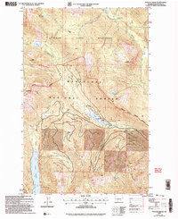
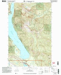 2003 Kachess Lake2006 Print · USGSKittitas County in the early 2000s reveals a landscape defined by water storage and high-country recreation. Trace family roots and land use near Kachess Lake, Easton, and the Easton State Airport.
 - 2003 Map of Cle Elum, 2006 Print
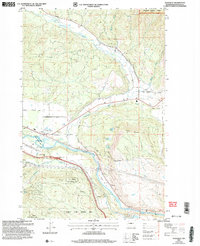
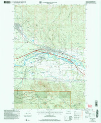 2003 Cle Elum2006 Print · USGSUpper Kittitas County at the turn of the millennium shows a fascinating mix of coal mining heritage and riverside development. Researchers can trace family history through Roslyn and Cle Elum, locating landmarks like the No. 9 Mine and Rothlisberger Cem.
 - 2003 Map of Naneum Canyon, 2006 Print
 2003 Naneum Canyon2006 Print · USGSKittitas County in the early 2000s is shown here as a landscape of protected wilderness and rugged watersheds. Hikers and historians can trace routes through Naneum Canyon, find the Gaging Station Filtration Plant, and locate high-country flats like Croker Flat.
 - 2003 Map of Liberty, 2006 Print
 2003 Liberty2006 Print · USGSThe mining community of Liberty is shown in detail at the dawn of the 21st century, surrounded by the peaks of the Wenatchee Mountains. Genealogists and historians can trace numerous Mine Shafts and Strip Mines along Williams Creek and Swauk Creek.
 - 2003 Map of Enchantment Lakes, 2006 Print
 2003 Enchantment Lakes2006 Print · USGSThe high Cascades at the start of the new millennium are preserved here, showing the protected wilderness and national forest lands of central Washington. Hikers and historians can trace the paths between Colchuck Lake, the Enchantment Basin, and the remote Adit near Gold Creek.
 - 2003 Map of Taneum Canyon, 2006 Print
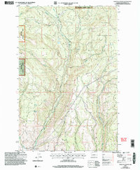
 2003 Taneum Canyon2006 Print · USGSThe Kittitas Valley highlands are captured here at the turn of the millennium, showing a landscape defined by state wildlife areas and complex irrigation. Trace early 2000s resource management across Thorp Prairie, the Cascade Canal, and the remote Whisky Flats.
 - 2003 Map of Davis Peak, 2006 Print
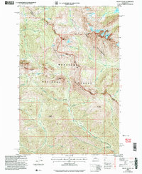
 2003 Davis Peak2006 Print · USGSThe northern Cascades near Kittitas appear in this early 2000s survey of high peaks and river valleys. Researchers can trace the layout of Salmon La Sac and locate mountain Adit sites or high-country landmarks like Davis Peak and China Point.
 - 2003 Map of Mission Peak, 2006 Print
 2003 Mission Peak2006 Print · USGSThe high ridges of the Chelan and Kittitas border are captured here at the turn of the millennium. Researchers can trace land use through landmarks like Beehive Lookout, Dutch Settlement Creek, and the Mission Ridge Winter Sports Area.
 - 2003 Map of Cle Elum Lake, 2006 Print
 2003 Cle Elum Lake2006 Print · USGSThe eastern slopes of the Cascades near Kittitas are shown here at the start of the millennium, highlighting the timber and water resources of the Wenatchee National Forest. Researchers can trace the shoreline developments of Lakedale or locate mining remnants like the Strip Mine and Adit near Sandstone Creek.
 - 2003 Map of Wenatchee Heights, 2006 Print
 2003 Wenatchee Heights2006 Print · USGSUpper Chelan County and the heights above the Columbia River are shown in this turn-of-the-millennium survey of orchard lands and high ridges. Genealogists and local historians can locate the Stemilt Hill Cem, trace family holdings near Milo Wood Pond, or find the old Pitcher School.
 - 2003 Map of Jack Ridge, 2006 Print
 2003 Jack Ridge2006 Print · USGSThe high Cascades of Chelan and Kittitas Counties are shown here just after the turn of the millennium. Hikers and historians can trace the paths of the Icicle Creek Trail, find the old Prospects near the southern border, or locate the Guard Station.
 - 2003 Map of Blewett Pass, 2006 Print
 2003 Blewett Pass2006 Print · USGSThe high ridges of the Wenatchee Mountains come into focus in the early 2000s, centered on the critical crossing at Blewett Pass. Outdoor historians and scouts can trace several Prospects near Swauk Creek or locate remote camps like Ken Wilcox Horse Camp.
 - 2003 Map of Frost Mountain, 2006 Print
 2003 Frost Mountain2006 Print · USGSThe Kittitas County high country is shown here at the start of the millennium, dominated by the timbered ridges and mountain meadows of the Wenatchee National Forest. Hikers and researchers can trace trails to Frost Mountain, find remote waters at Lost Lake, and identify dozens of named high-country flats like Gooseberry Flat.
Showing maps 1-25 of 380
Top cities of Kittitas County
- Kittitas historical maps
- Ellensburg historical maps
- Cle Elum historical maps
- Roslyn historical maps
- South Cle Elum historical maps
- Easton historical maps
See more
Frequently asked questions
- What are the different types of historical maps available for Kittitas County?
- What is the oldest map of Kittitas County?
- Where can I purchase historical maps of Kittitas County for my home or office?
- Where can I download high-res historical maps of Kittitas County?
- Are there historical topographic maps available for Kittitas County?
- Is there historical aerial imagery available for Kittitas County?
- Where are historical maps of Kittitas County sourced from?