2020s Maps of Kittitas County, Washington
Explore 142 historic maps of Kittitas County from the 2020s. These maps offer a rare glimpse into what life looked like during the 2020s — showing old roads, neighborhoods, homes, and landmarks that have changed or disappeared over time.
Whether you're researching your family's past, planning a metal detecting trip, or studying how Kittitas County's landscape evolved across the 2020s, these high-resolution maps are a powerful tool for exploring the history of this region.
- Focus on a specific era: All maps on this page are from the 2020s, giving you a focused view of this time period.
- See what’s changed: Compare century-old streets, trails, and buildings to today's modern landscape using overlays and satellite layers.
- Research with precision: Use these maps for genealogy, historical research, land use analysis, or educational projects.
- View, download, or print: Maps are fully viewable online in high resolution, and can be downloaded or printed for your own records.
Start exploring Kittitas County's history through authentic maps from the 2020s. This is your window into the past.
Kittitas County, WA maps
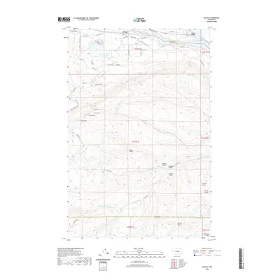
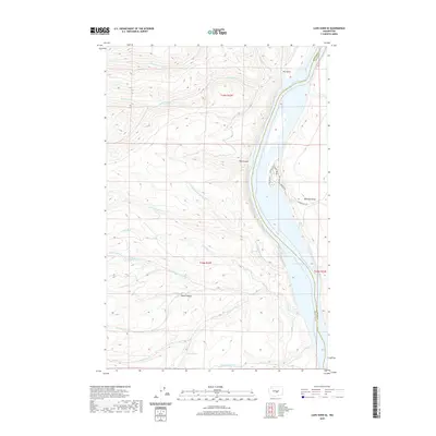
(142)- 2020 Map of Vantage, 2020 Print
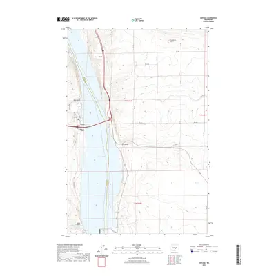 2020 Vantage2020 Print · USGSCovers Kittitas County, including Vantage, Grant County, and other nearby areas
 - 2020 Map of Beverly, 2020 Print
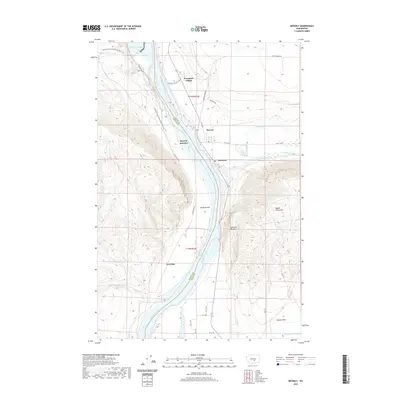 2020 Beverly2020 Print · USGSCovers Kittitas County, including Beverly, Levering, and other nearby areas
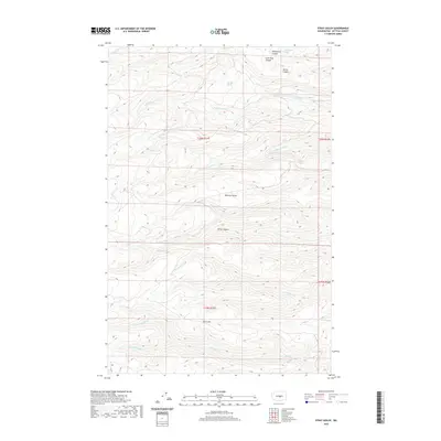
 - 2020 Map of Priest Rapids, 2020 Print
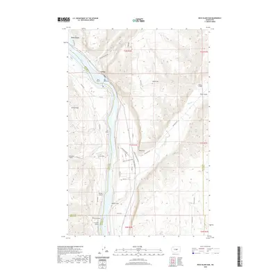
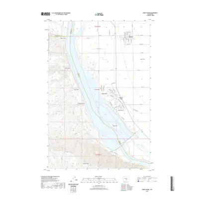 2020 Priest Rapids2020 Print · USGSCovers Kittitas County, including Mattawa, Desert Aire, and other nearby areas
 - 2020 Map of Wenatchee Heights, 2020 Print
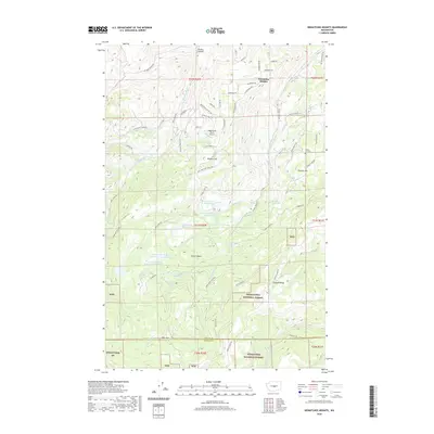 2020 Wenatchee Heights2020 Print · USGSCovers Kittitas County, including Chelan County, United States, and other nearby areas
 - 2020 Map of Teanaway Butte, 2020 Print
 2020 Teanaway Butte2020 Print · USGSCovers Kittitas County, including United States, Washington, and other nearby areas
 - 2020 Map of Colockum Pass, 2020 Print
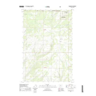 2020 Colockum Pass2020 Print · USGSCovers Kittitas County, including United States, Washington, and other nearby areas
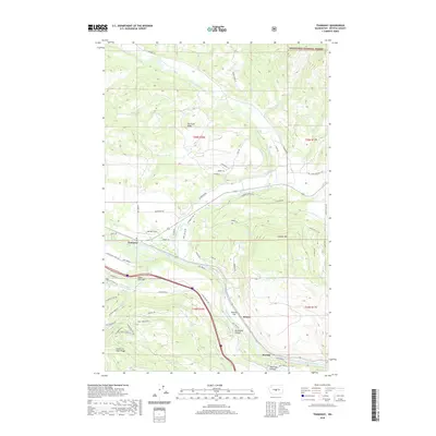
 - 2020 Map of Thorp, 2020 Print
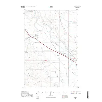 2020 Thorp2020 Print · USGSCovers Kittitas County, including Thorp, United States, and other nearby areas
 - 2020 Map of Cle Elum, 2020 Print
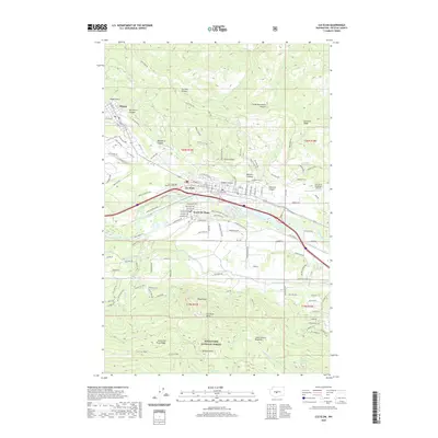 2020 Cle Elum2020 Print · USGSCovers Kittitas County, including Cle Elum, Roslyn, and other nearby areas
 - 2020 Map of Naneum Canyon, 2020 Print
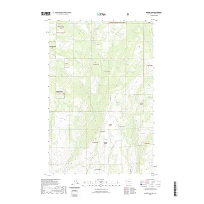 2020 Naneum Canyon2020 Print · USGSCovers Kittitas County, including United States, Washington, and other nearby areas
 - 2020 Map of Jack Ridge, 2020 Print
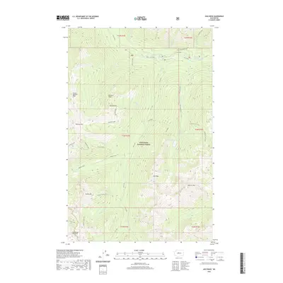 2020 Jack Ridge2020 Print · USGSCovers Kittitas County, including Chelan County, United States, and other nearby areas
 - 2020 Map of Taneum Canyon, 2020 Print
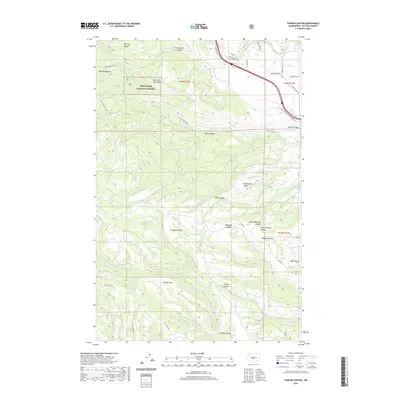 2020 Taneum Canyon2020 Print · USGSCovers Kittitas County, including United States, Washington, and other nearby areas
 - 2020 Map of Malaga, 2020 Print
 2020 Malaga2020 Print · USGSCovers Kittitas County, including Rock Island, Malaga, and other nearby areas
 - 2020 Map of Cape Horn SE, 2020 Print
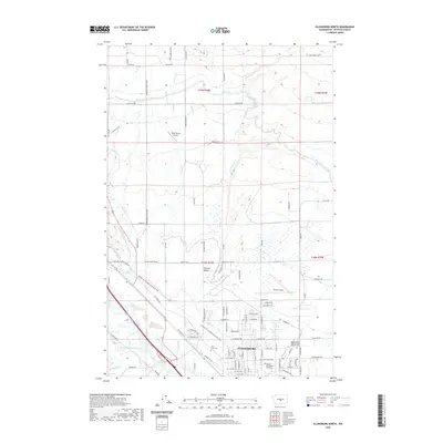
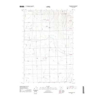
 2020 Cape Horn SE2020 Print · USGSCovers Kittitas County, including Scammon Landing, Grant County, and other nearby areas
 - 2020 Map of Stray Gulch, 2020 Print
 2020 Stray Gulch2020 Print · USGSCovers Kittitas County, including United States, Washington, and other nearby areas
 - 2020 Map of Swauk Prairie, 2020 Print
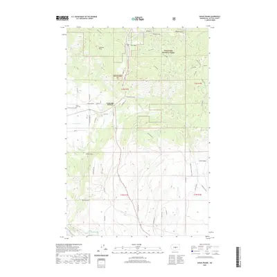 2020 Swauk Prairie2020 Print · USGSCovers Kittitas County, including United States, Washington, and other nearby areas
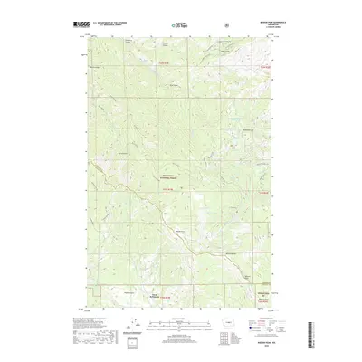
 - 2020 Map of West Bar, 2020 Print
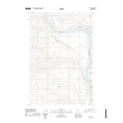 2020 West Bar2020 Print · USGSCovers Kittitas County, including Trinidad, Grant County, and other nearby areas
 - 2020 Map of Ellensburg North, 2020 Print
 2020 Ellensburg North2020 Print · USGSCovers Kittitas County, including Ellensburg, United States, and other nearby areas
 - 2020 Map of Teanaway, 2020 Print
 2020 Teanaway2020 Print · USGSCovers Kittitas County, including Teanaway, Bristol, and other nearby areas
 - 2020 Map of Colockum Pass SE, 2020 Print
 2020 Colockum Pass SE2020 Print · USGSCovers Kittitas County, including United States, Washington, and other nearby areas
 - 2020 Map of Mission Peak, 2020 Print
 2020 Mission Peak2020 Print · USGSCovers Kittitas County, including Chelan County, United States, and other nearby areas
 - 2020 Map of Colockum Pass SW, 2020 Print
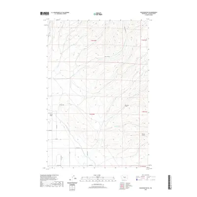
 2020 Colockum Pass SW2020 Print · USGSCovers Kittitas County, including United States, Washington, and other nearby areas
 - 2020 Map of Whiskey Dick Mountain, 2020 Print
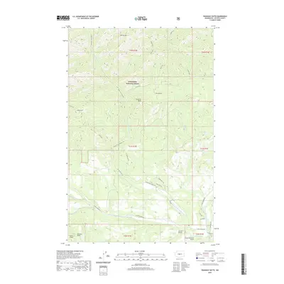
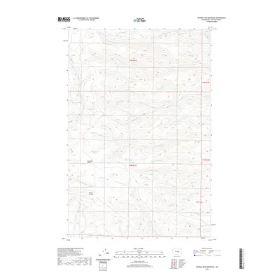 2020 Whiskey Dick Mountain2020 Print · USGSCovers Kittitas County, including United States, Washington, and other nearby areas
 - 2020 Map of Enchantment Lakes, 2020 Print
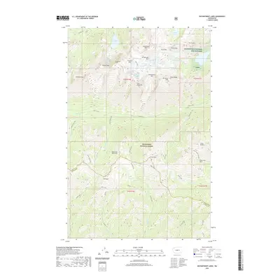 2020 Enchantment Lakes2020 Print · USGSCovers Kittitas County, including Chelan County, United States, and other nearby areas
 - 2020 Map of Mount Stuart, 2020 Print
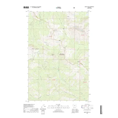 2020 Mount Stuart2020 Print · USGSCovers Kittitas County, including Chelan County, United States, and other nearby areas
 - 2020 Map of Rock Island Dam, 2020 Print
 2020 Rock Island Dam2020 Print · USGSCovers Kittitas County, including Voltage, Grant County, and other nearby areas
Showing maps 1-25 of 142
Top cities of Kittitas County
- Kittitas historical maps
- Ellensburg historical maps
- Cle Elum historical maps
- Roslyn historical maps
- South Cle Elum historical maps
- Easton historical maps
See more
Frequently asked questions
- What are the different types of historical maps available for Kittitas County?
- What is the oldest map of Kittitas County?
- Where can I purchase historical maps of Kittitas County for my home or office?
- Where can I download high-res historical maps of Kittitas County?
- Are there historical topographic maps available for Kittitas County?
- Is there historical aerial imagery available for Kittitas County?
- Where are historical maps of Kittitas County sourced from?