2020s Maps of Mason County, Washington
Explore 62 historic maps of Mason County from the 2020s. These maps offer a rare glimpse into what life looked like during the 2020s — showing old roads, neighborhoods, homes, and landmarks that have changed or disappeared over time.
Whether you're researching your family's past, planning a metal detecting trip, or studying how Mason County's landscape evolved across the 2020s, these high-resolution maps are a powerful tool for exploring the history of this region.
- Focus on a specific era: All maps on this page are from the 2020s, giving you a focused view of this time period.
- See what’s changed: Compare century-old streets, trails, and buildings to today's modern landscape using overlays and satellite layers.
- Research with precision: Use these maps for genealogy, historical research, land use analysis, or educational projects.
- View, download, or print: Maps are fully viewable online in high resolution, and can be downloaded or printed for your own records.
Start exploring Mason County's history through authentic maps from the 2020s. This is your window into the past.
Mason County, WA maps
(62)- 2020 Map of Matlock, 2020 Print
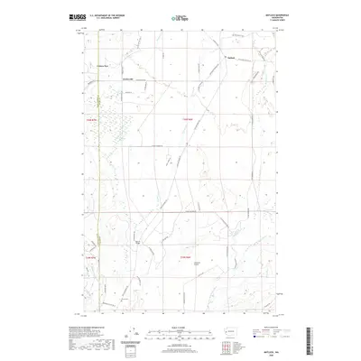 2020 Matlock2020 Print · USGSThe Mason County timberlands and river valleys come into focus in the 2020s, showing the rural communities of Matlock and Deckerville. Researchers can trace local history at Turnow Cem or explore the landscape of Carstairs Prairie and Cranberry Marsh.
 - 2020 Map of Nahwatzel Lake, 2020 Print
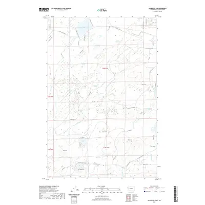 2020 Nahwatzel Lake2020 Print · USGSMason County’s wetlands and wooded uplands are captured in this recent survey of the area surrounding Nahwatzel Lake. Researchers can trace old routes along Logging Rd and locate distinctive open ground at Goose Prairie and Lost Prairie.
 - 2020 Map of Mount Olson, 2020 Print
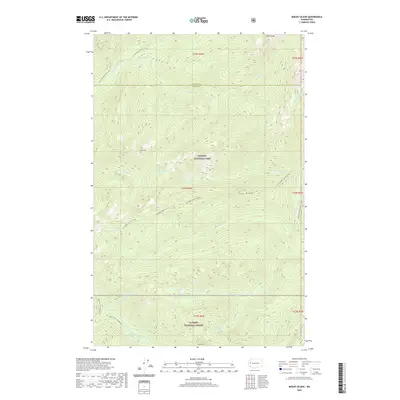 2020 Mount Olson2020 Print · USGSThe high Olympic wilderness is captured here in the early twenty-first century, spanning the border of national park and forest lands. Hikers and cartographers can trace the steep routes of the Six Ridge Primitive Trail and locate remote water bodies like McGravey Lakes or the summit of Wonder Mountain.
 - 2020 Map of Mount Skokomish, 2020 Print
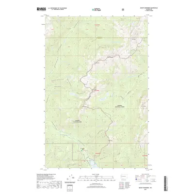 2020 Mount Skokomish2020 Print · USGSThe high peaks of the Olympic Peninsula remain a primary focus in this 2020 survey of the Mason and Jefferson county border. Researchers can trace the alpine routes to Staircase Rapids, Lake of the Angels, and the dramatic Sawtooth Ridge.
 - 2020 Map of Kamilche Valley, 2020 Print
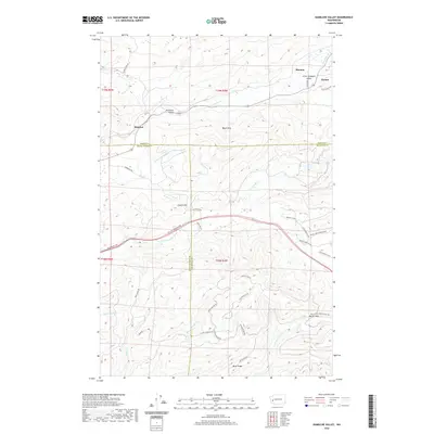 2020 Kamilche Valley2020 Print · USGSThe Kamilche Valley and the northern reaches of the Capitol Forest are shown here as they appeared in 2020. Genealogists and local historians can trace family-named sites like Hicklin Hill and the small communities of Stimson, Forbes, and Marmac.
 - 2020 Map of Shelton, 2020 Print
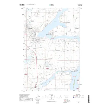 2020 Shelton2020 Print · USGSThe waterfront of Mason County comes alive in this detailed survey of the southern Puget Sound inlets during the early twenty-first century. Genealogists and local historians can trace the family landmarks and residential growth near Shelton, from Miller Cem to the shores of Oakland Bay and Totten Inlet.
 - 2020 Map of McCleary, 2020 Print
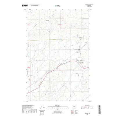 2020 McCleary2020 Print · USGSThe McCleary area of Washington is documented here as it entered the 2020s, showing the settled valleys and timberlands of the Grays Harbor border. Researchers can trace local landmarks like McCleary Pythian Cem, the Bear Valley Skyranch Airport, and the small settlement at Sine.
 - 2020 Map of Lilliwaup, 2020 Print
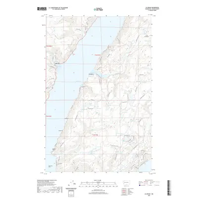 2020 Lilliwaup2020 Print · USGSThe shorelines of Hood Canal meet the forests of the Great Peninsula in this modern survey of Mason County. Local historians can trace the waterways of Lilliwaup Bay and The Great Bend, or locate inland landmarks like Lilliwaup Falls and Maggie Lake.
 - 2020 Map of Union, 2020 Print
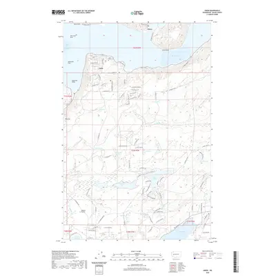 2020 Union2020 Print · USGSThe southern reach of the Hood Canal comes into focus in the early twenty-first century, centered on the historic town of Union. Local researchers can trace family names at the Union Pioneer Cem or explore lakefront growth at Lake Limerick and Lake Leprechaun.
 - 2020 Map of Shelton Valley, 2020 Print
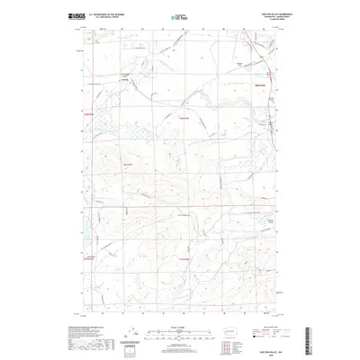 2020 Shelton Valley2020 Print · USGSShelton and its western environs are mapped here in the modern era, showing the expansion of rural settlements across Mason County's creek-carved valleys. Researchers can trace land use around Sanderson Field or locate historic pockets like Little Egypt Valley and Isabella Valley.
 - 2020 Map of Summit Lake, 2020 Print
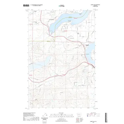 2020 Summit Lake2020 Print · USGSThe interface of the Puget Sound and the southern Black Hills is captured here during the 2020s. Researchers can trace land use from the shorelines of Oyster Bay and Totten Inlet to the heights of Rock Candy Mtn and the interior waters of Summit Lake.
 - 2020 Map of Skokomish Valley, 2020 Print
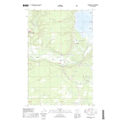 2020 Skokomish Valley2020 Print · USGSThe Skokomish River valley in 2020 shows a unique landscape where tribal lands and forest reserves meet the waters of the Hood Canal. Researchers can trace local roads and landmarks from Skokomish to the depths of Purdy Canyon and Annas Bay.
 - 2020 Map of Elma, 2020 Print
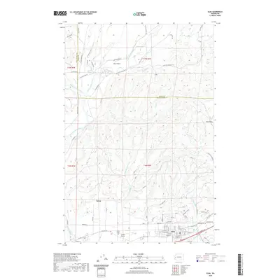 2020 Elma2020 Print · USGSGrays Harbor County and Mason County meet in this modern survey of the Chehalis River valley. Genealogists and local historians can trace family plots at the Catholic Cem, Masonic Cem, or Oddfellow Cem and explore the rural outskirts of Elma, Satsop, and Horse Prairie.
 - 2020 Map of Wildcat Lake, 2020 Print
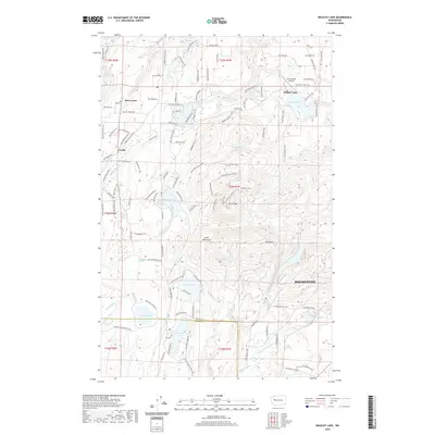 2020 Wildcat Lake2020 Print · USGSThe Great Peninsula west of Bremerton is shown here in detail during a period of modern residential and recreational growth. Researchers can trace the layout of community centers like Hite Center and Crosby, alongside numerous mountain lakes including Wildcat Lake and Tiger Lake.
 - 2020 Map of Longbranch, 2020 Print
 2020 Longbranch2020 Print · USGSSouthern Puget Sound and the Key Peninsula appear here in high detail during the early twenty-first century. Researchers can trace land tracts near Longbranch, locate the Longbranch Cem, or study the shoreline around Filucy Bay and Harstine Island.
 - 2020 Map of Lake Wooten, 2020 Print
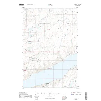 2020 Lake Wooten2020 Print · USGSMason County’s shoreline and lake-dotted interior are documented here in recent years. Researchers can trace waterfront developments at Forest Beach and Sunbeach or locate inland sites like the Dewatto Cemetery and the Kellum-Lake Isthmus.
 - 2020 Map of Holly, 2020 Print
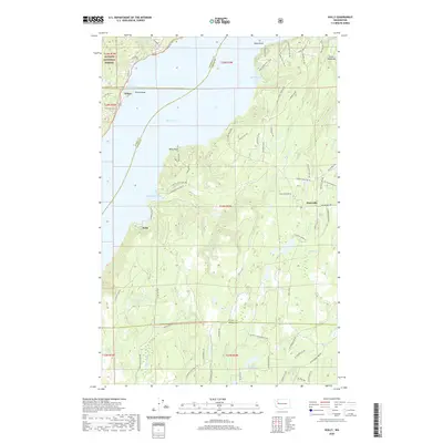 2020 Holly2020 Print · USGSThe shorelines of the Hood Canal meet the densely wooded interior of the Great Peninsula on the eve of the 2020s. Genealogists and local historians can trace the rural layouts of Holly, Hintzville, and Triton alongside the reaches of the Dewatto River.
 - 2020 Map of Mason Lake, 2020 Print
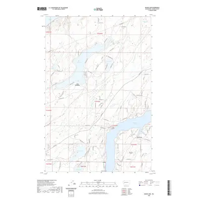 2020 Mason Lake2020 Print · USGSMason County’s lake country and the northern reaches of Harstine Island are detailed here as they appeared in 2020. Local researchers can trace residential growth around Mason Lake and Spencer Lake, or explore coastal features like Jarrell Cove and Pickering Passage.
 - 2020 Map of Belfair, 2020 Print
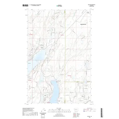 2020 Belfair2020 Print · USGSCoastal Washington life centers on the narrow reaches of the Hood Canal and Case Inlet in this recent survey. Local historians and property researchers can trace the shoreline developments of Belfair, Allyn, and Victor, alongside infrastructure like the Bremerton National Airport.
 - 2020 Map of Wynoochee Lake, 2020 Print
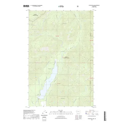 2020 Wynoochee Lake2020 Print · USGSGrays Harbor County at the dawn of the 2020s shows a landscape of deep forests and high ridgelines centered on the reservoir. Researchers can trace forest roads and hiking routes like the Wynoochee Loop to landmarks such as Beaver Flat and Satsop Lakes.
 - 2020 Map of Dry Bed Lakes, 2020 Print
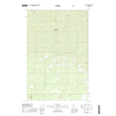 2020 Dry Bed Lakes2020 Print · USGSGrays Harbor County is captured in recent years as a network of forest roads and river systems through the Olympic National Forest. Trace the paths of the Middle Fork Satsop River and find landmarks like Dry Bed Lakes and the Vance Creek Loop.
 - 2020 Map of Eldon, 2020 Print
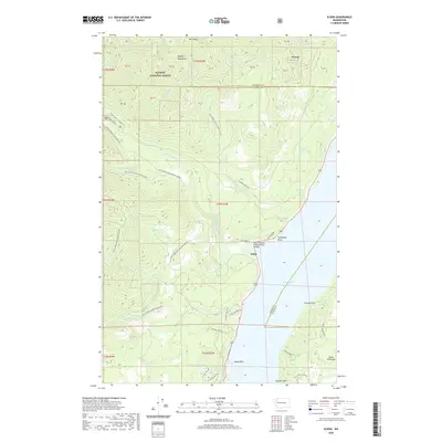 2020 Eldon2020 Print · USGSThe western shores of the Hood Canal meet the Olympic foothills in the late twenty-teens, showing the coastal community of Eldon. Researchers can trace forest development roads into the mountains or locate waterfront landmarks like Ayock Point, Lake Armstrong, and the North Hamma Hamma River Bridge.
 - 2020 Map of Mount Washington, 2020 Print
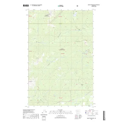 2020 Mount Washington2020 Print · USGSThe high peaks of the Olympic Peninsula are showcased here in the early twenty-first century, spanning the border of Mason and Jefferson counties. Hikers and researchers can trace trails to Mt Washington, The Brothers, and the remote Jefferson Lake.
 - 2020 Map of Mount Tebo, 2020 Print
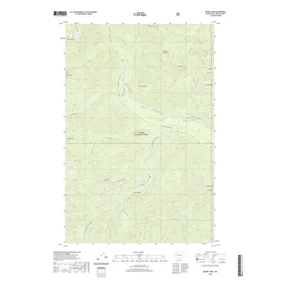 2020 Mount Tebo2020 Print · USGSThe high peaks and deep river valleys of Mason County are documented here in recent detail. Researchers can trace forest access and terrain at Mt Tebo and Wonder Mtn or locate points like Lower Sf Skokomish Campcomfort and the Church Cr Shelter.
 - 2020 Map of Squaxin Island, 2020 Print
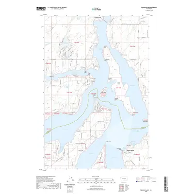 2020 Squaxin Island2020 Print · USGSCoastal Washington where Mason Co and Thurston Co meet reveals a complex landscape of sound-side islands and deep inlets. Researchers can trace waterfront development near Boston Harbor, locate the old Cannery, and explore the shores of Squaxin Island.
Showing maps 1-25 of 62
Top cities of Mason County
Frequently asked questions
- What are the different types of historical maps available for Mason County?
- What is the oldest map of Mason County?
- Where can I purchase historical maps of Mason County for my home or office?
- Where can I download high-res historical maps of Mason County?
- Are there historical topographic maps available for Mason County?
- Is there historical aerial imagery available for Mason County?
- Where are historical maps of Mason County sourced from?