2010s Maps of Mason County, Washington
Explore 93 historic maps of Mason County from the 2010s. These maps offer a rare glimpse into what life looked like during the 2010s — showing old roads, neighborhoods, homes, and landmarks that have changed or disappeared over time.
Whether you're researching your family's past, planning a metal detecting trip, or studying how Mason County's landscape evolved across the 2010s, these high-resolution maps are a powerful tool for exploring the history of this region.
- Focus on a specific era: All maps on this page are from the 2010s, giving you a focused view of this time period.
- See what’s changed: Compare century-old streets, trails, and buildings to today's modern landscape using overlays and satellite layers.
- Research with precision: Use these maps for genealogy, historical research, land use analysis, or educational projects.
- View, download, or print: Maps are fully viewable online in high resolution, and can be downloaded or printed for your own records.
Start exploring Mason County's history through authentic maps from the 2010s. This is your window into the past.
Mason County, WA maps
(93)- 2011 Map of Summit Lake, 2011 Print
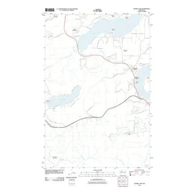 2011 Summit Lake2011 Print · USGSThe southern reaches of the Puget Sound come into focus during the early twenty-first century as suburban growth meets the timberlands of the Capitol Forest. Genealogists and local historians can trace the roads and shorelines of New Kamilche, Madrona Beach, and the Summit Lake community.
 - 2011 Map of McCleary, 2011 Print
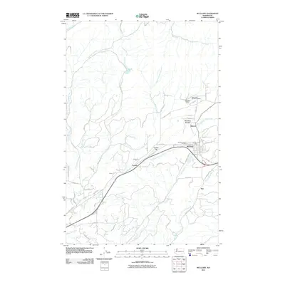 2011 McCleary2011 Print · USGSThe timber and rail corridors of eastern Grays Harbor County are well-documented here during the early twenty-first century. Researchers can trace the layout of small communities like McCleary, Rayville, and Whites, alongside local landmarks like the McCleary Pythian Cemetery.
 - 2011 Map of Matlock, 2011 Print
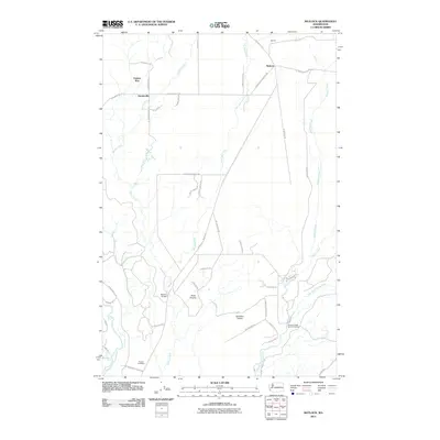 2011 Matlock2011 Print · USGSMason County’s rural timberlands and river valleys are captured here in the early twenty-first century. Genealogists and local historians can locate Turnow Cemetery, trace the roads around Deckerville, and find the Simpson State Salmon Hatchery along Bingham Creek.
 - 2011 Map of Shelton Valley, 2011 Print
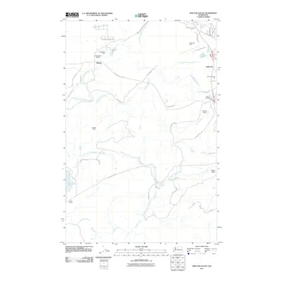 2011 Shelton Valley2011 Print · USGSMason County’s timber and valley lands come into focus during this early 21st-century survey of the terrain west of the sound. Genealogists and local researchers can trace family plots at Shelton Memorial Park or explore the rural surroundings of Dayton and Little Egypt Valley.
 - 2011 Map of Lilliwaup, 2011 Print
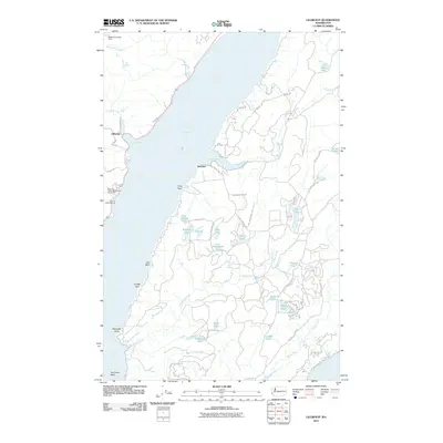 2011 Lilliwaup2011 Print · USGSThe shores of the Hood Canal are captured here in the early twenty-first century, showing the established communities of Lilliwaup and Dewatto. Genealogists and local historians can trace family landmarks and coastal sites from Lilliwaup Falls to the Rest - A - While Marina and Oak Lake.
 - 2011 Map of Union, 2011 Print
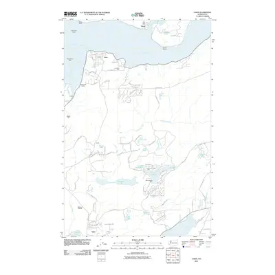 2011 Union2011 Print · USGSThe Mason County shoreline comes to life in this detailed study of the area where the Hood Canal makes its sharp turn at The Great Bend. Researchers can trace the layout of residential developments near Lake Limerick and locate landmarks like the Union Post Office.
 - 2011 Map of Shelton, 2011 Print
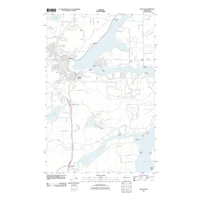 2011 Shelton2011 Print · USGSThe Mason County shoreline and the city of Shelton are captured here in the early 21st century as they interface with the deep inlets of the Puget Sound. Genealogists and local historians can trace family-named landmarks like Miller Cemetery and the old community at Kamilche.
 - 2011 Map of Nahwatzel Lake, 2011 Print
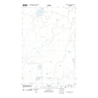 2011 Nahwatzel Lake2011 Print · USGSMason County’s timbered foothills and lowland prairies are shown here during the early twenty-first century. Researchers can trace rural community life near Cloquallum and explore the complex hydrology of Cranberry Marsh, Nahwatzel Lake, and Lake Arrowhead.
 - 2011 Map of Mason Lake, 2011 Print
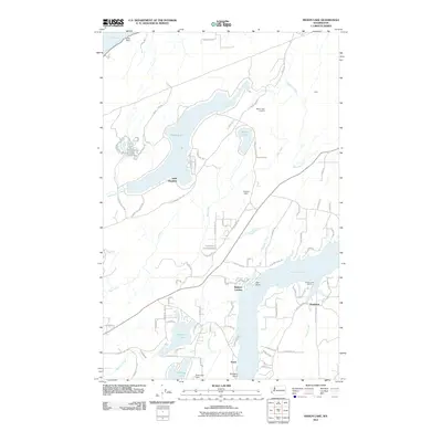 2011 Mason Lake2011 Print · USGSMason Lake and the shores of Pickering Passage appear in great detail during the early 2000s, showing the growth of waterside communities. Genealogists and locals can trace the development of Little Hoquiam, locate Walkers Landing, and find the Mason Lake Lookout.
 - 2011 Map of Lake Wooten, 2011 Print
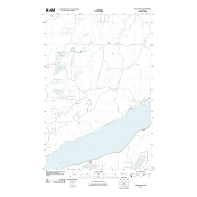 2011 Lake Wooten2011 Print · USGSThe shorelines of the Hood Canal and the clustered lakes of Mason County are captured here in the early twenty-first century. Researchers can trace local landmarks like Dewatto Cemetery and Tahuya Lookout or explore waterfront sites like Sunbeach.
 - 2011 Map of Longbranch, 2011 Print
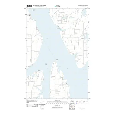 2011 Longbranch2011 Print · USGSThe South Sound maritime environment is captured here in the early 21st century, featuring the intricate shorelines of Case Inlet and Nisqually Reach. Genealogists and local historians can trace developments around Longbranch, Puget, and Joemma Beach.
 - 2011 Map of Wildcat Lake, 2011 Print
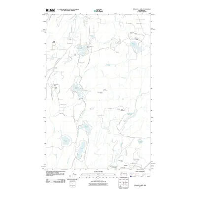 2011 Wildcat Lake2011 Print · USGSThe Great Peninsula at the start of the twenty-first century reveals a landscape defined by timbered ridges and vital watersheds. Researchers can find historical landmarks like Camp Union and the Seabeck Post Office, alongside the aviation history of Leisureland Airpark.
 - 2011 Map of Belfair, 2011 Print
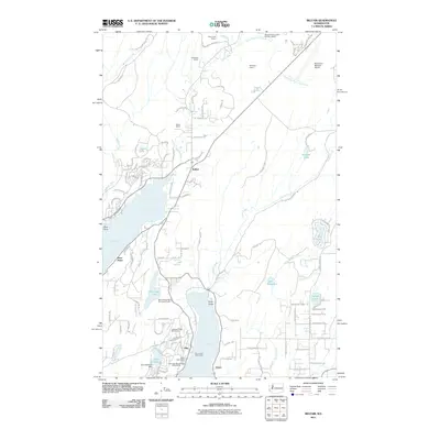 2011 Belfair2011 Print · USGSThe Kitsap Peninsula shoreline and its timber-and-stone industry are on full display in the early twenty-first century. Researchers can trace local development from the Port of Allyn Public Dock to the Huson Quarry and Belfair town center.
 - 2011 Map of Mount Skokomish, 2011 Print
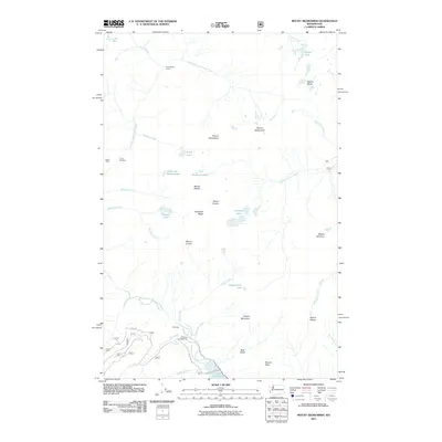 2011 Mount Skokomish2011 Print · USGSMount Skokomish and the upper Olympic Peninsula wilderness are captured in this 2011 survey, showing the landscape before recent forest changes. Trace the path of the North Fork Skokomish River past Staircase and the old Darky Mine.
 - 2011 Map of Mount Tebo, 2011 Print
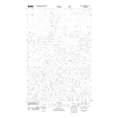 2011 Mount Tebo2011 Print · USGSThe Olympic Peninsula backcountry is shown in the early twenty-first century, featuring a landscape defined by forest service roads and high-altitude shelters. Hikers and historians can trace the routes to Camp Harps Shelter, Spider Lake, and the heights of Mount Tebo.
 - 2011 Map of Mount Hoquiam, 2011 Print
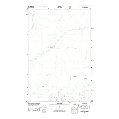 2011 Mount Hoquiam2011 Print · USGSThe Olympic Peninsula high country is documented in detail here during the early 2010s. Trace the headwaters of major river systems and locate remote landmarks like Mount Hoquiam, Lake Sundown, and the Graves Creek Campground.
 - 2011 Map of Eldon, 2011 Print
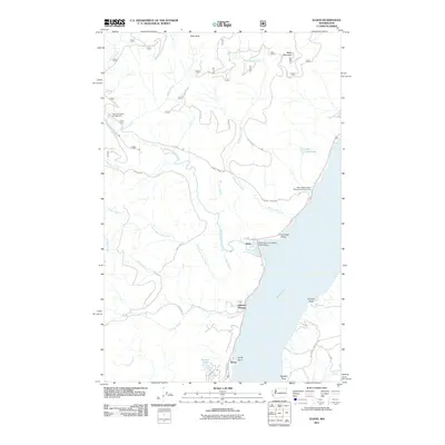 2011 Eldon2011 Print · USGSThe western edge of the Olympic Peninsula meets the Hood Canal in this 2011 survey of the Mason County coast. Genealogists and local historians can trace the small settlements of Eldon and Ayock or locate landmarks like the North Hamma Hamma River Bridge.
 - 2011 Map of Skokomish Valley, 2011 Print
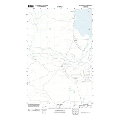 2011 Skokomish Valley2011 Print · USGSThe Skokomish River delta meets Annas Bay in this modern study of the tribal and rural landscape. Genealogists and researchers can trace local developments in Skokomish and Brockdale or locate the George Adams Salmon Hatchery.
 - 2011 Map of Wynoochee Lake, 2011 Print
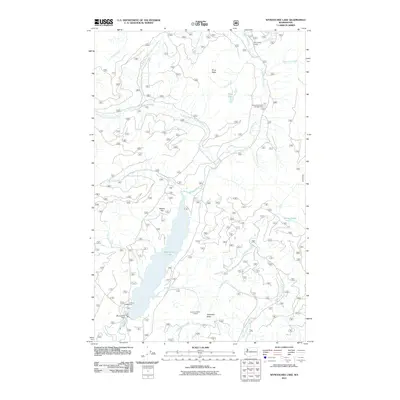 2011 Wynoochee Lake2011 Print · USGSThe Olympic Peninsula backcountry is mapped here in the early twenty-first century as a landscape of forest management and water resource engineering. Researchers can locate recreation sites like Coho Campground and infrastructure including the Wynoochee Dam and Anderson Butte Lookout.
 - 2011 Map of Elma, 2011 Print
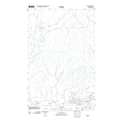 2011 Elma2011 Print · USGSElma and the surrounding Satsop River valley appear in this modern survey during a period of established rural community life. Genealogists and local historians can trace family locations near the Hatchery Grange, Hunters Prairie, and three historic burial grounds including the Masonic Cemetery.
 - 2011 Map of Kamilche Valley, 2011 Print
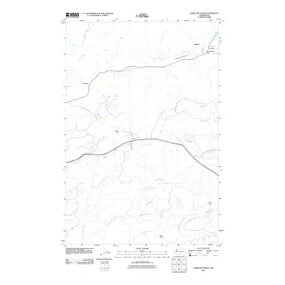 2011 Kamilche Valley2011 Print · USGSKamilche Valley and the timberlands of Mason County are captured here in the early twenty-first century. Researchers can trace the drainages of Skookum Creek and Kennedy Creek or locate the small settlements of Stimson and Marmac.
 - 2011 Map of Mount Olson, 2011 Print
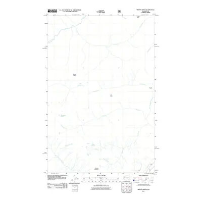 2011 Mount Olson2011 Print · USGSMason County's high-country terrain is captured here in the early twenty-first century, showing the headwaters of the Olympic Peninsula. You can trace the remote drainage patterns of Seven Stream and Six Stream or locate the site of Big Log Camp.
 - 2011 Map of Lightning Peak, 2011 Print
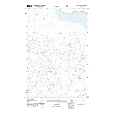 2011 Lightning Peak2011 Print · USGSThe Olympic Peninsula backcountry is mapped here during the early twenty-first century, showing the forest management and watersheds of the Skokomish River. Researchers can trace the network of forest roads leading to the Dennie Ahl Hill Lookout and Brown Creek Campground.
 - 2011 Map of Holly, 2011 Print
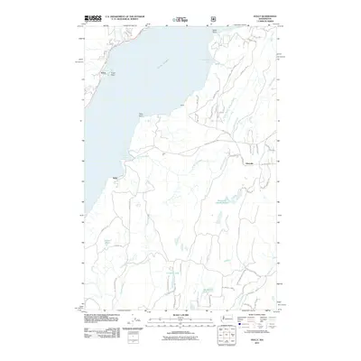 2011 Holly2011 Print · USGSThe western shores of Hood Canal come into focus in the early twenty-first century, showing the established coastal settlements and forest roads of Mason County. Local historians can trace the drainage of the Dewatto River and locate landmarks like Triton Head, Holly, and the Hintzville Beaver Ponds.
 - 2011 Map of Mount Washington, 2011 Print
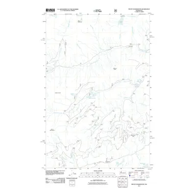 2011 Mount Washington2011 Print · USGSThe Olympic Peninsula high country comes into focus in this recent survey of the ridges and river headwaters near Mount Washington. Modern researchers can trace access routes to Lena Lake Campground and remote water bodies like Goober Pond or Melbourne Lake.
Showing maps 1-25 of 93
Top cities of Mason County
Frequently asked questions
- What are the different types of historical maps available for Mason County?
- What is the oldest map of Mason County?
- Where can I purchase historical maps of Mason County for my home or office?
- Where can I download high-res historical maps of Mason County?
- Are there historical topographic maps available for Mason County?
- Is there historical aerial imagery available for Mason County?
- Where are historical maps of Mason County sourced from?