2000s (21st Century) Maps of Skagit County, Washington
Explore 321 historic maps of Skagit County from the 2000s (21st Century). These maps offer a rare glimpse into what life looked like during the 2000s — showing old roads, neighborhoods, homes, and landmarks that have changed or disappeared over time.
Whether you're researching your family's past, planning a metal detecting trip, or studying how Skagit County's landscape evolved across the 2000s, these high-resolution maps are a powerful tool for exploring the history of this region.
- Focus on a specific era: All maps on this page are from the 2000s, giving you a focused view of this time period.
- See what’s changed: Compare century-old streets, trails, and buildings to today's modern landscape using overlays and satellite layers.
- Research with precision: Use these maps for genealogy, historical research, land use analysis, or educational projects.
- View, download, or print: Maps are fully viewable online in high resolution, and can be downloaded or printed for your own records.
Start exploring Skagit County's history through authentic maps from the 2000s. This is your window into the past.
Skagit County, WA maps
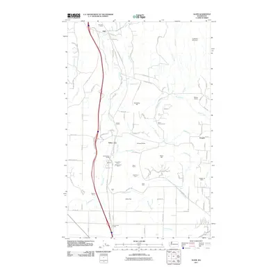
(321)- 2002 Map of Slate Peak, 2006 Print
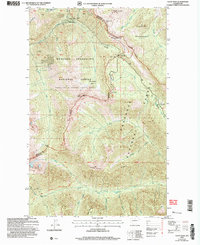 2002 Slate Peak2006 Print · USGSOkanogan County's high-altitude wilderness and mining legacy are preserved here as they stood in the early 2000s. Trace the path of the Pacific Crest National Scenic Trail past historic sites like the Illinois Mine and Harts Pass Guard Station.
 - 2002 Map of Azurite Peak, 2006 Print
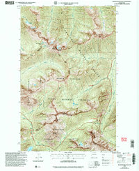
 2002 Azurite Peak2006 Print · USGSThe high Cascades of Whatcom and Skagit counties are shown here as a wilderness of deep canyons and mineral prospects at the start of the 2000s. Researchers can locate remote sites like the Azurite Mine, Fourmile Camp, and the high crossing at Cady Pass.
 - 2002 Map of Mount Logan, 2006 Print
 2002 Mount Logan2006 Print · USGSThe high Cascades at the Skagit and Chelan county line are documented here in the early 2000s, showing a landscape dominated by permanent ice and alpine trails. Researchers can trace the glaciated slopes of Mount Logan and locate remote backcountry sites like Cosmo Camp and Rock Cabin.
 - 2002 Map of Mount Arriva, 2006 Print
 2002 Mount Arriva2006 Print · USGSThe high Cascades at the turn of the millennium are shown in this detailed study of the wilderness bordering Skagit and Okanogan counties. Hikers and historians can trace the high-altitude routes through Easy Pass, the remote Silent Lakes, and the crags of Black Peak.
 - 2002 Map of Washington Pass, 2006 Print
 2002 Washington Pass2006 Print · USGSThe high North Cascades at the start of the twenty-first century are defined by the winding passage of the scenic highway through three national forests. Backpackers and historians can trace the steep routes over Rainy Pass, Cutthroat Pass, and the granite heights of Liberty Bell Mountain.
 - 2004 Map of Goode Mountain, 2008 Print
 2004 Goode Mountain2008 Print · USGSThe North Cascades wilderness is shown here at the turn of the millennium, dominated by massive glaciers and the high peaks of Chelan County. Researchers can trace remote alpine routes like the Park Creek Trail past Storm King and the ice of Boston Glacier.
 - 2011 Map of Acme, 2011 Print
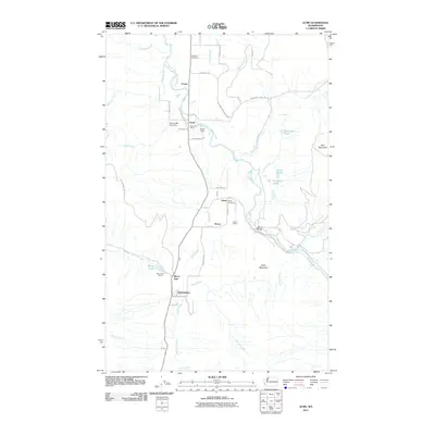 2011 Acme2011 Print · USGSCovers Skagit County, including Wickersham, Acme, and other nearby areas
 - 2011 Map of Haystack Mountain, 2011 Print
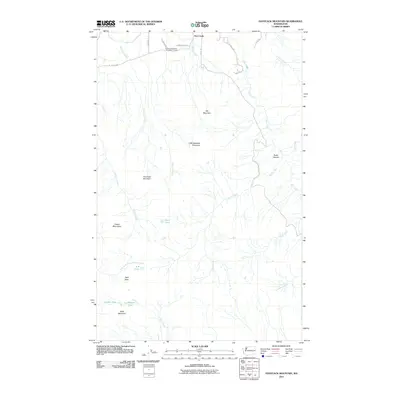 2011 Haystack Mountain2011 Print · USGSCovers Skagit County, including Day Creek, United States, and other nearby areas
 - 2011 Map of Sedro-Woolley North, 2011 Print
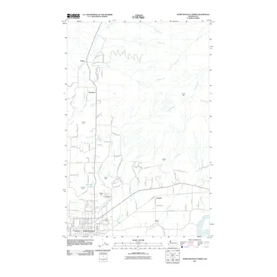 2011 Sedro-Woolley North2011 Print · USGSCovers Skagit County, including Sedro-Woolley, Cokedale, and other nearby areas
 - 2011 Map of Lyman, 2011 Print
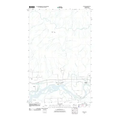 2011 Lyman2011 Print · USGSCovers Skagit County, including Hamilton Junction, Hamilton, and other nearby areas
 - 2011 Map of Sedro-Woolley South, 2011 Print
 2011 Sedro-Woolley South2011 Print · USGSCovers Skagit County, including Sedro-Woolley, Big Lake, and other nearby areas
 - 2011 Map of McMurray, 2011 Print
 2011 McMurray2011 Print · USGSCovers Skagit County, including Big Lake, Pilchuck, and other nearby areas
 - 2011 Map of Crescent Harbor, 2011 Print
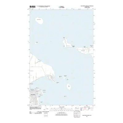
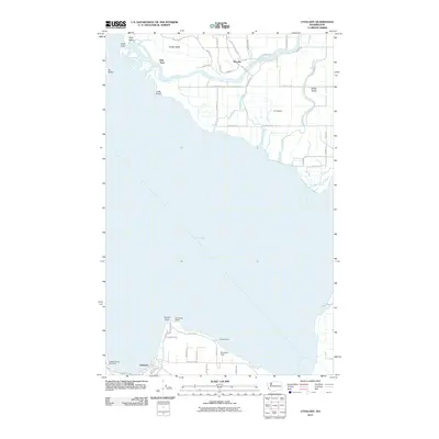
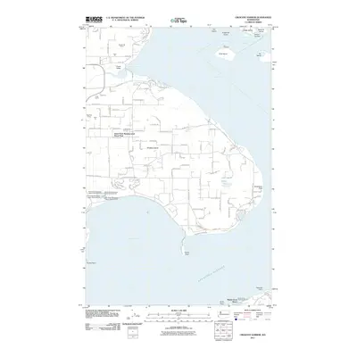 2011 Crescent Harbor2011 Print · USGSCovers Skagit County, including Oak Harbor, Island County, and other nearby areas
 - 2011 Map of Alger, 2011 Print
 2011 Alger2011 Print · USGSCovers Skagit County, including Sedro-Woolley, Belfast, and other nearby areas
 - 2011 Map of Deception Pass, 2011 Print
 2011 Deception Pass2011 Print · USGSCovers Skagit County, including Anacortes, Cornet, and other nearby areas
 - 2011 Map of Stimson Hill, 2011 Print
 2011 Stimson Hill2011 Print · USGSCovers Skagit County, including Lake Cavanaugh, Cicero, and other nearby areas
 - 2011 Map of Bow, 2011 Print
 2011 Bow2011 Print · USGSCovers Skagit County, including Allen, Edison Station, and other nearby areas
 - 2011 Map of Mount Vernon, 2011 Print
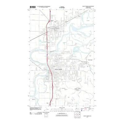 2011 Mount Vernon2011 Print · USGSCovers Skagit County, including Mount Vernon, Sedro-Woolley, and other nearby areas
 - 2011 Map of Anacortes North, 2011 Print
 2011 Anacortes North2011 Print · USGSCovers Skagit County, including Anacortes, Samish Island, and other nearby areas
 - 2011 Map of Grandy Lake, 2011 Print
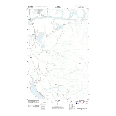
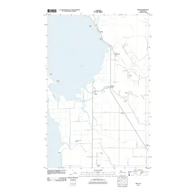
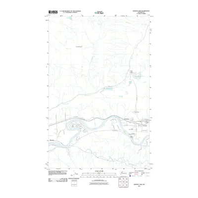 2011 Grandy Lake2011 Print · USGSCovers Skagit County, including Grassmere, Concrete, and other nearby areas
 - 2011 Map of Utsalady, 2011 Print
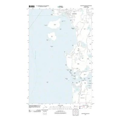
 2011 Utsalady2011 Print · USGSCovers Skagit County, including Fish Town, Snohomish County, and other nearby areas
 - 2011 Map of Fortson, 2011 Print
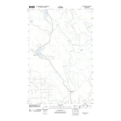
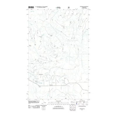 2011 Fortson2011 Print · USGSCovers Skagit County, including Barco, Fortson, and other nearby areas
 - 2011 Map of Gee Point, 2011 Print
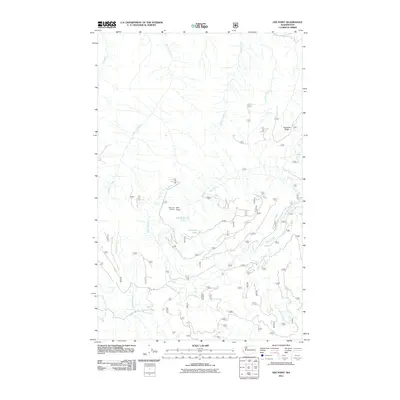 2011 Gee Point2011 Print · USGSCovers Skagit County, including United States, Washington, and other nearby areas
 - 2011 Map of Bacon Peak, 2011 Print
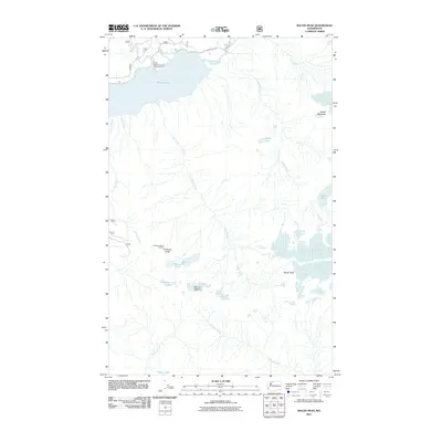 2011 Bacon Peak2011 Print · USGSCovers Skagit County, including Whatcom County, United States, and other nearby areas
 - 2011 Map of Snowking Mountain, 2011 Print
 2011 Snowking Mountain2011 Print · USGSCovers Skagit County, including United States, Washington, and other nearby areas
Showing maps 1-25 of 321
Top cities of Skagit County
- Mount Vernon historical maps
- Anacortes historical maps
- Sedro-Woolley historical maps
- Burlington historical maps
- La Conner historical maps
Frequently asked questions
- What are the different types of historical maps available for Skagit County?
- What is the oldest map of Skagit County?
- Where can I purchase historical maps of Skagit County for my home or office?
- Where can I download high-res historical maps of Skagit County?
- Are there historical topographic maps available for Skagit County?
- Is there historical aerial imagery available for Skagit County?
- Where are historical maps of Skagit County sourced from?