2000s (21st Century) Maps of Thurston County, Washington
Explore 125 historic maps of Thurston County from the 2000s (21st Century). These maps offer a rare glimpse into what life looked like during the 2000s — showing old roads, neighborhoods, homes, and landmarks that have changed or disappeared over time.
Whether you're researching your family's past, planning a metal detecting trip, or studying how Thurston County's landscape evolved across the 2000s, these high-resolution maps are a powerful tool for exploring the history of this region.
- Focus on a specific era: All maps on this page are from the 2000s, giving you a focused view of this time period.
- See what’s changed: Compare century-old streets, trails, and buildings to today's modern landscape using overlays and satellite layers.
- Research with precision: Use these maps for genealogy, historical research, land use analysis, or educational projects.
- View, download, or print: Maps are fully viewable online in high resolution, and can be downloaded or printed for your own records.
Start exploring Thurston County's history through authentic maps from the 2000s. This is your window into the past.
Thurston County, WA maps
(125)- 2011 Map of Lake Lawrence, 2011 Print
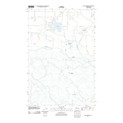 2011 Lake Lawrence2011 Print · USGSThurston County’s transition from prairie to mountain is captured here in the early 2000s, from the banks of the Deschutes River to the high ridges. Researchers can locate family landmarks like Reichel Ranch and Roundtree Cabin or trace the drainage of the Skookumchuck River.
 - 2011 Map of Bucoda, 2011 Print
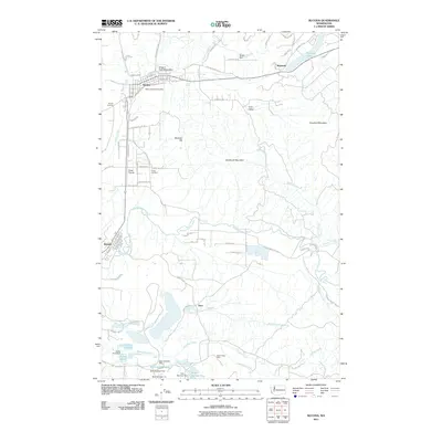 2011 Bucoda2011 Print · USGSThe Thurston County corridor south of Olympia is captured here in the early twenty-first century, showing the enduring paths of pioneer and industrial history. Researchers can trace the Oregon Trail Monument, find the Black Prince Mine, and locate graves at Forest Cemetery.
 - 2011 Map of Harts Lake, 2011 Print
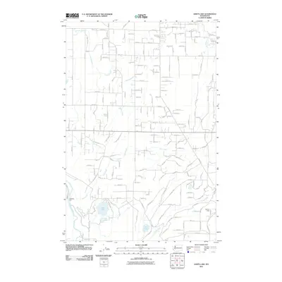 2011 Harts Lake2011 Print · USGSPierce County’s wetland and river systems are finely detailed in this 2011 record of the Harts Lake area. Researchers can trace the water network from the Nisqually River and Centralia Dam to family-named landmarks like Asplund Field and Harts Lake.
 - 2011 Map of Bald Hill, 2011 Print
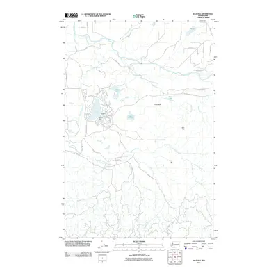 2011 Bald Hill2011 Print · USGSPierce County in the early twenty-first century reveals a landscape shaped by the Nisqually River and timber interests. Trace local landmarks like Deschutes Falls, Fossil Rock, and the shoreline communities of Clear Lake.
 - 2011 Map of Tenalquot Prairie, 2011 Print
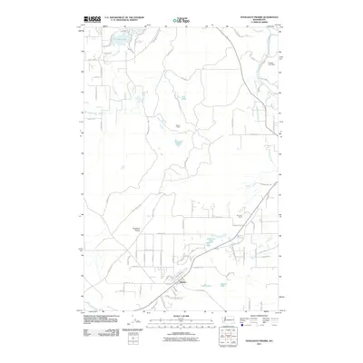 2011 Tenalquot Prairie2011 Print · USGSThe Tenalquot Prairie and the settlement of Rainier appear in detail during the early twenty-first century. Researchers can trace military-inspired geography near Fort Lewis and find family-named landmarks like Burnham Ranch and Gehrke Lake.
 - 2011 Map of McKenna, 2011 Print
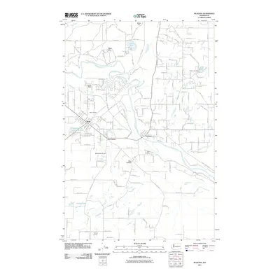 2011 McKenna2011 Print · USGSThe Nisqually River valley comes into focus during this period of growth in Thurston and Pierce Counties. Researchers can trace local development through the layout of Yelm, McKenna, and Mock City, alongside landmarks like Yelm Airpark and the Serene Lake Dam.
 - 2011 Map of East Olympia, 2011 Print
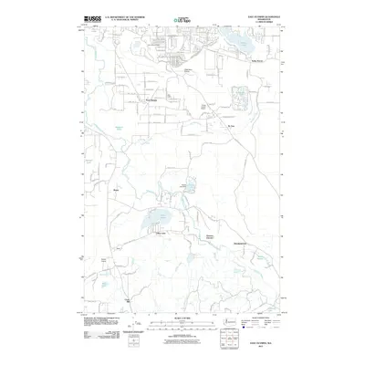 2011 East Olympia2011 Print · USGSThurston County’s prairie and river landscapes are preserved here during a period of modern rural transition. You can trace the path of the Deschutes River past local landmarks like Kellys Korner, Western Junction, and the waters of Offutt Lake.
 - 2011 Map of Vail, 2011 Print
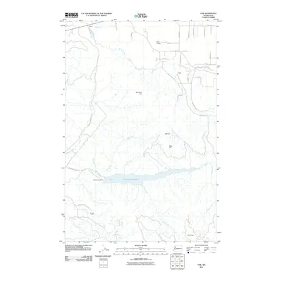 2011 Vail2011 Print · USGSThurston County’s rural interior is documented here in the early twenty-first century, centered on the significant Skookumchuck Reservoir. Local researchers can trace the roads around Vail and locate landmarks like the Skookumchuck Dam and Sundown Ranch.
 - 2011 Map of Rochester, 2011 Print
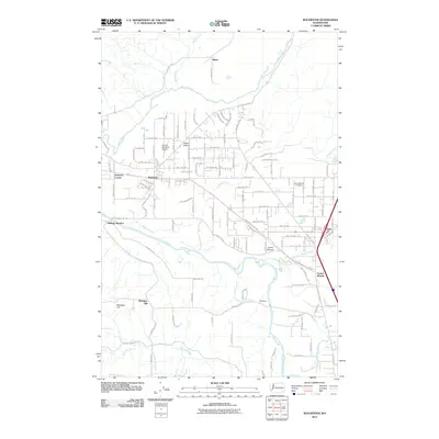 2011 Rochester2011 Print · USGSThurston County’s prairie and river landscapes are captured here during a period of steady rural growth in the early twenty-first century. Genealogists and researchers can trace local family landmarks from Grand Mound Cemetery to the small settlements at Helsing Junction and Peterson Corner.
 - 2011 Map of Oakville, 2011 Print
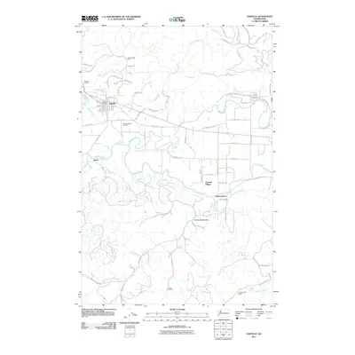 2011 Oakville2011 Print · USGSOakville and the Chehalis River valley are documented here in the early twenty-first century as the landscape maintains its deep-rooted rural character. Genealogists and historians can locate the Oakville Pioneer Cemetery, the Finnish Cemetery, and the Lincoln Creek Grange.
 - 2011 Map of Capitol Peak, 2011 Print
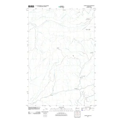 2011 Capitol Peak2011 Print · USGSThurston County’s upland timberlands are captured here in the early 21st century, showing a landscape defined by forestry and recreation. Outdoor enthusiasts and researchers can trace the roads to Capitol Peak Lookout or locate the Fall Creek Campground and Sherman Valley.
 - 2011 Map of Summit Lake, 2011 Print
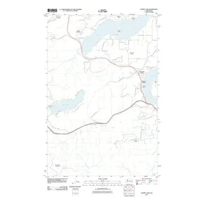 2011 Summit Lake2011 Print · USGSThe southern reaches of the Puget Sound come into focus during the early twenty-first century as suburban growth meets the timberlands of the Capitol Forest. Genealogists and local historians can trace the roads and shorelines of New Kamilche, Madrona Beach, and the Summit Lake community.
 - 2011 Map of Shelton, 2011 Print
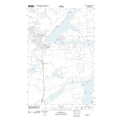 2011 Shelton2011 Print · USGSThe Mason County shoreline and the city of Shelton are captured here in the early 21st century as they interface with the deep inlets of the Puget Sound. Genealogists and local historians can trace family-named landmarks like Miller Cemetery and the old community at Kamilche.
 - 2011 Map of Longbranch, 2011 Print
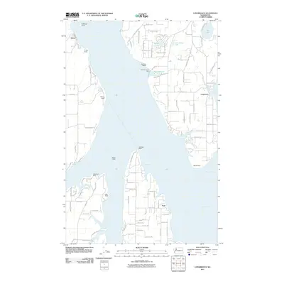 2011 Longbranch2011 Print · USGSThe South Sound maritime environment is captured here in the early 21st century, featuring the intricate shorelines of Case Inlet and Nisqually Reach. Genealogists and local historians can trace developments around Longbranch, Puget, and Joemma Beach.
 - 2011 Map of McNeil Island, 2011 Print
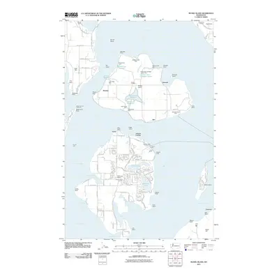 2011 McNeil Island2011 Print · USGSMaritime life and correctional history meet in the Puget Sound during the early twenty-first century. Researchers can trace the layout of the prison grounds on McNeil Island or locate family roots at the Anderson Island Cemetery and Fox Island Cemetery.
 - 2011 Map of Maytown, 2011 Print
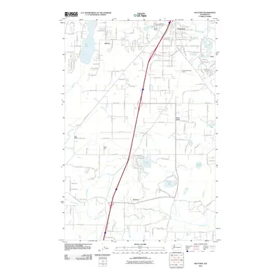 2011 Maytown2011 Print · USGSThurston County south of Tumwater is captured here in the early twenty-first century, showing a landscape of prairies and glacial lakes. Trace family history or local development near Maytown, South Union, and the historic Bush Prairie district.
 - 2011 Map of Elbe, 2011 Print
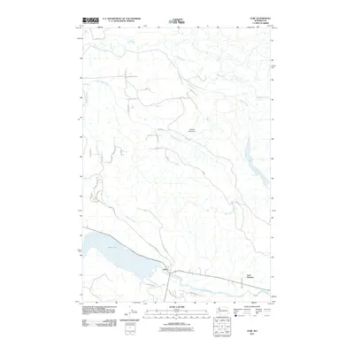 2011 Elbe2011 Print · USGSThe community of Elbe and the shores of Alder Lake are shown at the turn of the decade. Researchers can trace the river-fed landscape and local transit routes including Park Junction and the rugged slopes of Dobbs Mountain.
 - 2011 Map of Violet Prairie, 2011 Print
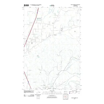 2011 Violet Prairie2011 Print · USGSNorth of Centralia in the early twenty-first century, this landscape is a patchwork of prairie lands and industrial history. Researchers can trace the coal-mining legacy at the Monarch Mine and Majestic Mine or locate smaller settlements like Sunnydale and Foran.
 - 2011 Map of Littlerock, 2011 Print
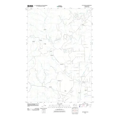 2011 Littlerock2011 Print · USGSThurston County’s timber and river lands are documented here in the early twenty-first century, centered on the Mima Prairie and Little Larch Mountain. Local historians can trace the roads connecting Delphi, Littlerock, and the site of Bordeaux along the Black River.
 - 2011 Map of Kamilche Valley, 2011 Print
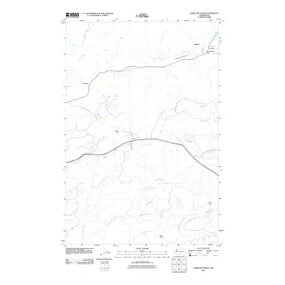 2011 Kamilche Valley2011 Print · USGSKamilche Valley and the timberlands of Mason County are captured here in the early twenty-first century. Researchers can trace the drainages of Skookum Creek and Kennedy Creek or locate the small settlements of Stimson and Marmac.
 - 2011 Map of Nisqually, 2011 Print
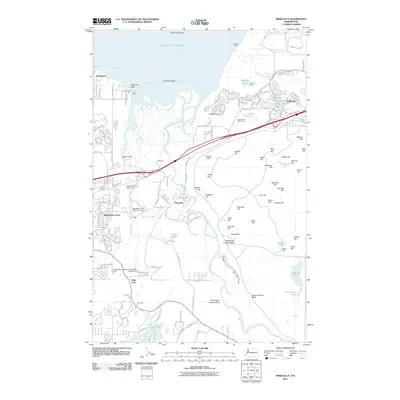 2011 Nisqually2011 Print · USGSThe Nisqually River delta meets the Puget Sound in this early twenty-first-century survey of the growing communities between Olympia and Tacoma. Genealogists and local historians can trace family-named heights like Jansen Hill or explore landmarks such as Dupont Wharf and Lake Saint Clair.
 - 2011 Map of Lacey, 2011 Print
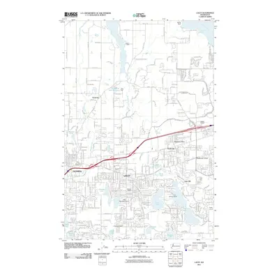 2011 Lacey2011 Print · USGSThurston County’s suburban and maritime landscapes are captured in detail during the early 21st-century growth of Lacey and Olympia. Genealogists and local historians can trace modern neighborhoods alongside established sites like Mount Tabor Cemetery, Union Mill, and Mushroom Corner.
 - 2011 Map of Eatonville, 2011 Print
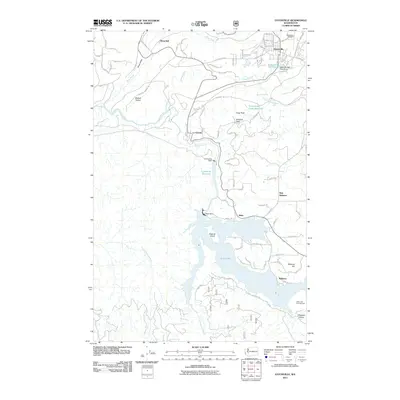 2011 Eatonville2011 Print · USGSThe foothills of Pierce County come into focus here during the early twenty-first century, centered on the historic timber and river town of Eatonville. Researchers can trace the water infrastructure of the Nisqually River, from the Alder Dam to the Eatonville Mill Pond.
 - 2011 Map of Squaxin Island, 2011 Print
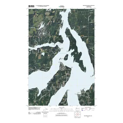 2011 Squaxin Island2011 Print · USGSThe South Puget Sound islands and inlets are shown in fine detail during the early 2000s, featuring the complex shoreline of Squaxin Island. Genealogists and historians can locate coastal landmarks like the Dofflemyer Point Lighthouse and settlements at Arcadia and Boston Harbor.
 - 2011 Map of Tumwater, 2011 Print
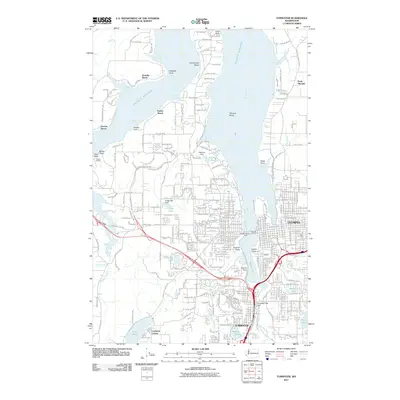 2011 Tumwater2011 Print · USGSThe state capital and the inlets of the South Sound are documented here during the early 2010s. Researchers can trace the waterfront development at Percivals Landing, find the old junction at Lamberts Corner, and locate shoreline communities like Sunset Beach.
Showing maps 1-25 of 125
Top cities of Thurston County
- Olympia historical maps
- Lacey historical maps
- Tumwater historical maps
- Yelm historical maps
- Grand Mound historical maps
- North Yelm historical maps
See more
Frequently asked questions
- What are the different types of historical maps available for Thurston County?
- What is the oldest map of Thurston County?
- Where can I purchase historical maps of Thurston County for my home or office?
- Where can I download high-res historical maps of Thurston County?
- Are there historical topographic maps available for Thurston County?
- Is there historical aerial imagery available for Thurston County?
- Where are historical maps of Thurston County sourced from?