1960s Maps of Whitman County, Washington
Explore 32 historic maps of Whitman County from the 1960s. These maps offer a rare glimpse into what life looked like during the 1960s — showing old roads, neighborhoods, homes, and landmarks that have changed or disappeared over time.
Whether you're researching your family's past, planning a metal detecting trip, or studying how Whitman County's landscape evolved across the 1960s, these high-resolution maps are a powerful tool for exploring the history of this region.
- Focus on a specific era: All maps on this page are from the 1960s, giving you a focused view of this time period.
- See what’s changed: Compare century-old streets, trails, and buildings to today's modern landscape using overlays and satellite layers.
- Research with precision: Use these maps for genealogy, historical research, land use analysis, or educational projects.
- View, download, or print: Maps are fully viewable online in high resolution, and can be downloaded or printed for your own records.
Start exploring Whitman County's history through authentic maps from the 1960s. This is your window into the past.
Whitman County, WA maps
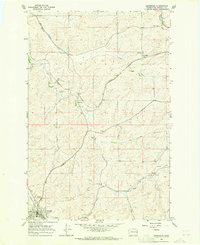
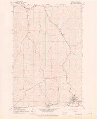
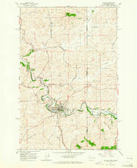
(32)- 1964 Map of Lamont NE, 1965 Print
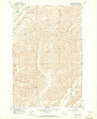 1964 Lamont NE1965 Print · USGSWhitman County in the mid-1960s was a landscape of deep coulees and vital rail corridors. Genealogists and historians can trace the path of the Spokane Portland and Seattle railroad or locate old water landmarks like Stoner Lake and Big Lake.
 - 1964 Map of Viola, 1965 Print
 1964 Viola1965 Print · USGSThe Palouse hills along the Washington and Idaho border come alive in the mid-1960s, showing a landscape defined by timbered buttes and vital rail lines. Genealogists and rail historians can trace the paths of the Northern Pacific through rural stops like Fallon, Viola, and Whelan.2 unique versions available
 - 1964 Map of Lamont NW, 1965 Print
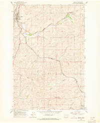
 1964 Lamont NW1965 Print · USGSThe Scablands of the Whitman and Adams county line are captured here in the mid-1960s, centered on the railroad town of Lamont. Researchers can trace the Spokane Portland and Seattle rail line past Alkali Lake and Folsom Lake.
 - 1964 Map of Diamond, 1965 Print
 1964 Diamond1965 Print · USGSWhitman County agriculture and transportation meet in the mid-1960s as two major rail lines traverse the winding Palouse coulees. Researchers can trace the routes of the Union Pacific and Great Northern through Diamond, Harpole, and Manning.
 - 1964 Map of St. John, 1965 Print
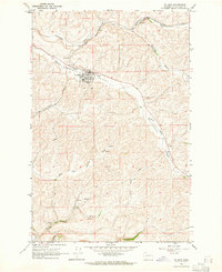 1964 St. John1965 Print · USGSWhitman County agriculture and rail transit dominate this mid-century survey of the Palouse. Genealogists and researchers can locate the St John townsite, trace the Union Pacific tracks through Huntley, and find the Pleasant Valley Cem.
 - 1964 Map of Oakesdale, 1965 Print
 1964 Oakesdale1965 Print · USGSWhitman County's agricultural and rail heartland is meticulously detailed in the mid-1960s, showing the intersection of four major railroads. Researchers can trace family roots at Oakesdale Cemetery or explore the small siding communities of Fairbanks and Seabury.2 unique versions available
 - 1964 Map of Malden, 1965 Print
 1964 Malden1965 Print · USGSMalden and its surrounding Whitman County rail corridors are captured in the mid-1960s at a time of active industrial transit. Genealogists and rail historians can trace the paths of the Chicago Milwaukee St Paul and Pacific through Malden or locate the rural Cem near Balder.2 unique versions available
 - 1964 Map of Elberton, 1965 Print
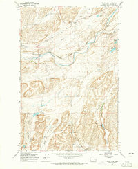
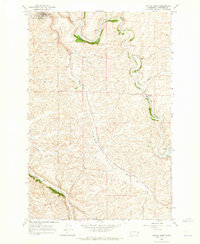
 1964 Elberton1965 Print · USGSWhitman County's agricultural heartland is documented here in the mid-sixties, centered on the winding Palouse River and its rail corridors. Researchers can trace family origins at Garfield Cem and Eden Valley Cem or follow the historic tracks of the Union Pacific.
 - 1964 Map of Moscow West, 1965 Print
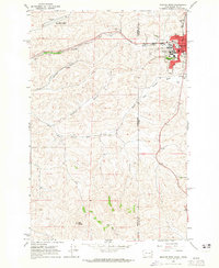 1964 Moscow West1965 Print · USGSThe Idaho-Washington border comes alive in the mid-1960s, centered on the university town of Moscow and its rail connections. Researchers can trace the junction of the Union Pacific and Great Northern railroads or locate the University of Idaho campus and the old Drive-in Theater.3 unique versions available
 - 1964 Map of Rock Lake, 1965 Print
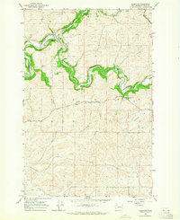
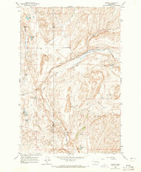
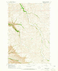
 1964 Rock Lake1965 Print · USGSWhitman County's rugged coulees and scablands are centered around Rock Lake in the mid-1960s. Researchers can locate isolated landmarks like Eaton Cem, trace the Chicago Milwaukee St Paul and Pacific rail line, or explore small outposts like Lavista.
 - 1964 Map of Colfax North, 1965 Print
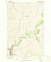 1964 Colfax North1965 Print · USGSWhitman County at the height of the mid-century rail era reveals a landscape defined by the winding Palouse River. Genealogists and researchers can trace the tracks of the Great Northern and locate sites like Colfax Cem and the Grange Hall 2443.
 - 1964 Map of Texas Lake, 1965 Print
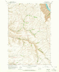
 1964 Texas Lake1965 Print · USGSWhitman County, Washington, is captured here in the mid-1960s as a landscape of remote rail sidings and coulee drainage systems. You can trace the Chicago Milwaukee St Paul and Pacific line past Imbler, locate Rock Creek Falls, or find the secluded Texas Lake.
 - 1964 Map of Wilcox, 1965 Print
 1964 Wilcox1965 Print · USGSWhitman County's agricultural heartland is captured here in the mid-1960s, showing the intersection of rail lines and creek-side settlements. Genealogists and local historians can trace specific landmarks like the Onecho Cem, the community of Wilcox, and the Palouse Empire Fairgrounds.2 unique versions available
 - 1964 Map of Tekoa, 1965 Print
 1964 Tekoa1965 Print · USGSWhitman County and the Idaho borderlands are captured here in the mid-1960s, centered on the vital rail junction at Tekoa. Researchers can trace the dual paths of the Union Pacific and Milwaukee Road through Seltice and past the Goldenrod Cem.3 unique versions available
 - 1964 Map of Kirby, 1965 Print
 1964 Kirby1965 Print · USGSGarfield County's high farming plateaus overlook the river during the mid-1960s, showing a landscape of deep canyons and isolated rural hubs. Genealogists can locate the Kirby Cemetery, Bell Plain Sch, and the unique early Tramway systems used for grain transport.2 unique versions available
 - 1964 Map of Steptoe, 1965 Print
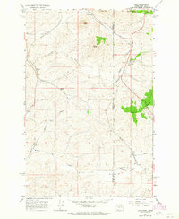
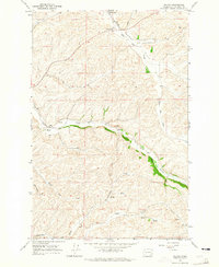
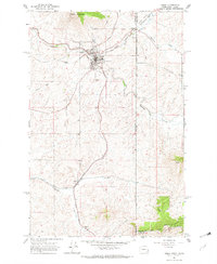
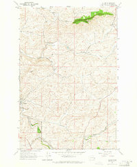
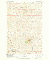 1964 Steptoe1965 Print · USGSWhitman County's agricultural heartland is documented in the 1960s, featuring the iconic Steptoe Butte and the surrounding rail corridors. Genealogists and rail historians can trace the Great Northern tracks and find local landmarks like Bethel Cem and Oakesdale.
 - 1964 Map of Colton, 1965 Print
 1964 Colton1965 Print · USGSWhitman County's Palouse landscape is captured in the mid-1960s as the rail-and-road network supported a thriving agricultural community. Researchers can trace local landmarks like Colton, the Nesterbank Ranch, and several deep drainages including Yakawawa Canyon.2 unique versions available
 - 1964 Map of Garfield, 1965 Print
 1964 Garfield1965 Print · USGSWhitman County in the mid-sixties reveals a landscape deeply shaped by competing railroads and small trackside settlements. Genealogists and historians can trace the rail sidings and small communities of Belmont, Sokulk, and Garfield along the Northern Pacific and Union Pacific lines.
 - 1964 Map of Albion, 1965 Print
 1964 Albion1965 Print · USGSWhitman County agriculture and transportation are captured here in the mid-1960s, showing the vital rail-and-river network of the Palouse. Genealogists can locate family landmarks like Mt Olivet Cem, the local Grange Hall, and the small siding at Kitzmiller.
 - 1964 Map of Revere, 1965 Print
 1964 Revere1965 Print · USGSThe Chicago Milwaukee St Paul and Pacific railroad defines this corner of the Palouse in the mid-1960s. Genealogists and local historians can trace the rail sidings and agricultural infrastructure at Revere, including its Grain Elevators and nearby Buffalo Spring.
 - 1964 Map of Colfax South, 1965 Print
 1964 Colfax South1965 Print · USGSWhitman County agriculture and rail transit are captured here in the mid-1960s as the Union Pacific corridor winds through the Palouse. Researchers can trace family roots at Guy Cem or locate old community hubs like Parvin, Shawnee, and the Grange Hall.
 - 1964 Map of Palouse, 1965 Print
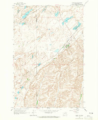
 1964 Palouse1965 Print · USGSThe Washington-Idaho borderlands in the mid-sixties are captured here as the grain and rail economy centered on the river thrived. Researchers can trace the lines of the Great Northern railroad, locate the Greenwood Cem, and find old sites like Ladow and Lairds.2 unique versions available
 - 1964 Map of Ewartsville, 1965 Print
 1964 Ewartsville1965 Print · USGSWhitman County agriculture and canyon breaks are captured here in the mid-sixties, before modern development reshaped the Palouse. Researchers can locate the Beauridell Sch, the community of Ewartsville, and the deep reaches of MacMurry Canyon.
 - 1964 Map of Rosalia, 1965 Print
 1964 Rosalia1965 Print · USGSMid-century Whitman County comes alive through its dense rail network and small farming sidings in the 1960s. Trace the paths of three major railroads through Rosalia and Oakesdale, or find local landmarks like Riggs Cemetery and Steptoe Memorial State Park.2 unique versions available
 - 1964 Map of Bishop, 1965 Print
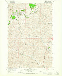
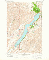
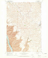
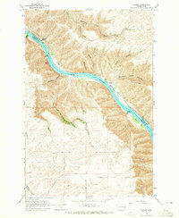 1964 Bishop1965 Print · USGSThe Snake River canyon in the mid-1960s was a landscape of remote ranches and dramatic geology before major hydrological changes. Genealogists and historians can trace the rural road networks near Valentine or locate landmarks like Bishop Bar and the Kelly Ranch.2 unique versions available
Showing maps 1-25 of 32
Top cities of Whitman County
- Pullman historical maps
- Colfax historical maps
- Palouse historical maps
- Tekoa historical maps
- Rosalia historical maps
- Garfield historical maps
See more
Frequently asked questions
- What are the different types of historical maps available for Whitman County?
- What is the oldest map of Whitman County?
- Where can I purchase historical maps of Whitman County for my home or office?
- Where can I download high-res historical maps of Whitman County?
- Are there historical topographic maps available for Whitman County?
- Is there historical aerial imagery available for Whitman County?
- Where are historical maps of Whitman County sourced from?