2020s Maps of Whitman County, Washington
Explore 124 historic maps of Whitman County from the 2020s. These maps offer a rare glimpse into what life looked like during the 2020s — showing old roads, neighborhoods, homes, and landmarks that have changed or disappeared over time.
Whether you're researching your family's past, planning a metal detecting trip, or studying how Whitman County's landscape evolved across the 2020s, these high-resolution maps are a powerful tool for exploring the history of this region.
- Focus on a specific era: All maps on this page are from the 2020s, giving you a focused view of this time period.
- See what’s changed: Compare century-old streets, trails, and buildings to today's modern landscape using overlays and satellite layers.
- Research with precision: Use these maps for genealogy, historical research, land use analysis, or educational projects.
- View, download, or print: Maps are fully viewable online in high resolution, and can be downloaded or printed for your own records.
Start exploring Whitman County's history through authentic maps from the 2020s. This is your window into the past.
Whitman County, WA maps
(124)- 2020 Map of Hooper, 2020 Print
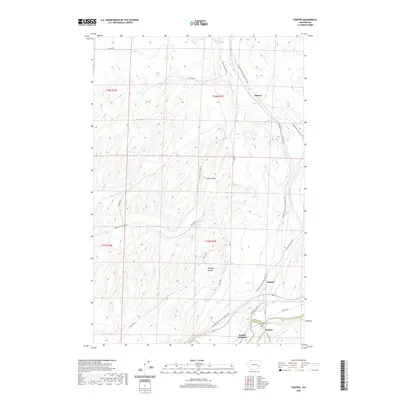 2020 Hooper2020 Print · USGSWhitman County's agricultural heartland is documented here in the recent era as the Palouse landscape transitions to recreational use. Researchers can trace the path of the Columbia Plateau State Park Trail near Hooper and find historic sites like Ankeny.
 - 2020 Map of Starbuck East, 2020 Print
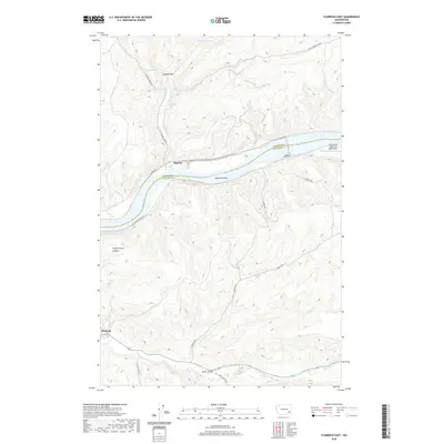 2020 Starbuck East2020 Print · USGSSoutheast Washington in the early twenty-first century reveals a landscape shaped by the Snake River and the Tucannon River. Researchers can trace old transportation corridors along Riparia Rd or locate landmarks like McGuire Shoal and the town of Starbuck.
 - 2020 Map of Rattlesnake Canyon, 2020 Print
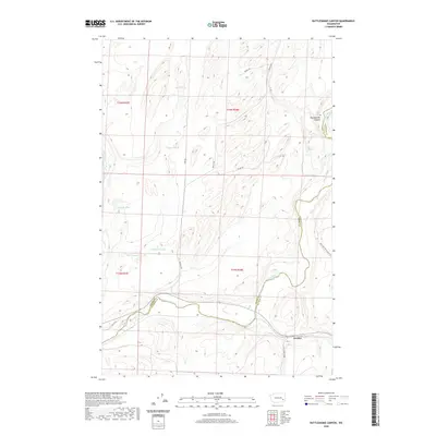 2020 Rattlesnake Canyon2020 Print · USGSThe Palouse River country at the Adams and Whitman county line comes into focus in this recent survey. Local historians can trace the rural landscape from the settlement of Gordon to the depths of Rattlesnake Canyon and isolated water sources like Negro Lake.
 - 2020 Map of Hooper Lake, 2020 Print
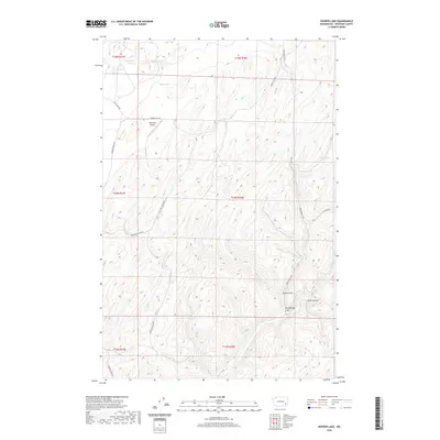 2020 Hooper Lake2020 Print · USGSWhitman County's rugged coulees and high flats are captured here in the contemporary era, showing a landscape defined by its vital water sources and remote airstrips. Researchers can trace the drainage of Alkali Flat Cr and locate local landmarks like McGregor Airport and Goldfish Spring.
 - 2020 Map of Palouse Falls, 2020 Print
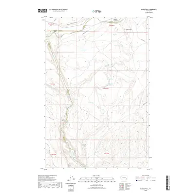 2020 Palouse Falls2020 Print · USGSThe Palouse River canyon and its famous falls are captured here in the contemporary era at the meeting point of three counties. Modern explorers and historians can trace the paths of Mullan Rd and the Columbia Plateau State Park Trail near landmarks like Hooper Junction and Fryxell Overlook.
 - 2020 Map of Central Ferry, 2020 Print
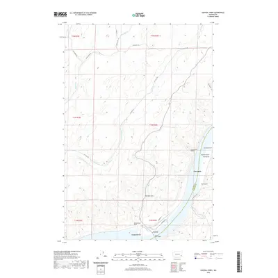 2020 Central Ferry2020 Print · USGSThe Snake River crossing at Central Ferry appears here in the contemporary era, marking the vital border between Whitman and Garfield counties. Researchers can trace the steep geography of the breaks via Schoolhouse Draw, Purrington, and Hammer Gulch.
 - 2020 Map of Almota, 2020 Print
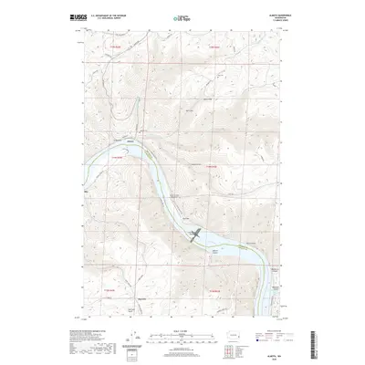 2020 Almota2020 Print · USGSThe Snake River canyon near Mayview is depicted here in the early twenty-first century, revealing a landscape of steep grades and river landings. Trace local history through family-named sites like Moys Cem, Spalding Cem, and the old path of Almota Ferry Rd.
 - 2020 Map of Winona, 2020 Print
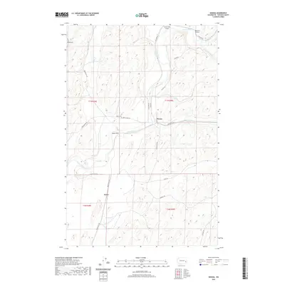 2020 Winona2020 Print · USGSWhitman County's agricultural heartland is captured in this recent survey, centered on the Palouse River as it passes through the small community of Winona. Researchers can trace local heritage at the Winona Cem or locate the southern settlement of Sutton.
 - 2020 Map of Hay, 2020 Print
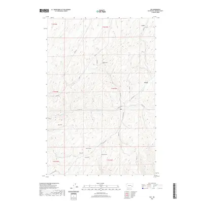 2020 Hay2020 Print · USGSWhitman County's Palouse country is captured here during the early twenty-first century, showing the enduring agricultural patterns of the region. Researchers can trace the rural hubs of Hay, Shreck, and Jerita and follow the routes through McCard Gulch and Long Hollow.
 - 2020 Map of Uniontown, 2020 Print
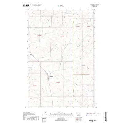 2020 Uniontown2020 Print · USGSThe borderlands of Washington and Idaho come to life in this survey of the Palouse. Researchers can trace family names and early rural sites from the streets of Uniontown and Colton to the isolated settlement of Leon and the banks of Union Flat Cr.
 - 2020 Map of Palouse, 2020 Print
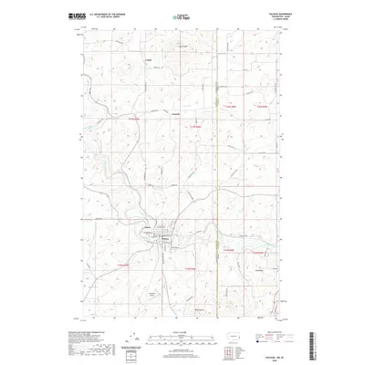 2020 Palouse2020 Print · USGSThe Palouse River valley and the surrounding high hills of the Washington-Idaho border come into focus in this contemporary survey. Researchers can trace rural settlement patterns and local landmarks from Ladow Butte and Grinnell to the streets of Palouse.
 - 2020 Map of Wades Bar, 2020 Print
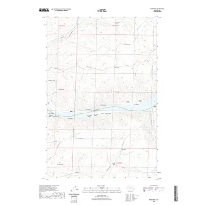 2020 Wades Bar2020 Print · USGSThe Snake River corridor in Southeast Washington appears here in recent detail, marking the rugged transition between Whitman and Garfield Counties. Researchers can trace old river landings and geographical landmarks like Wades Bar, the settlement of Swift, and the winding Penawawa Creek.
 - 2020 Map of Little Penawawa Creek, 2020 Print
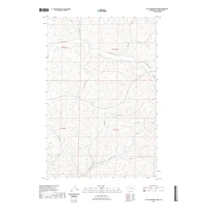 2020 Little Penawawa Creek2020 Print · USGSWhitman County's rolling agricultural heartland is documented here in the early twenty-first century, showing the enduring rural road and drainage network. Researchers can trace family-named routes like Ed Hamilton Rd and landmarks along Union Flat Cr or Little Penawawa Cr.
 - 2020 Map of Clarkston, 2020 Print
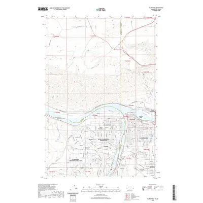 2020 Clarkston2020 Print · USGSThe confluence of the Snake and Clearwater Rivers defines this 2020 look at the Washington-Idaho border. Researchers can trace local genealogy at Vineland Cem or explore the civic layout of Clarkston, Lewiston, and Lewiston Orchards.
 - 2020 Map of Silcott Island, 2020 Print
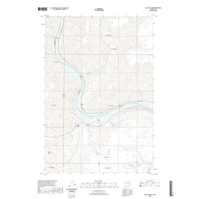 2020 Silcott Island2020 Print · USGSThe Snake River corridor in southeastern Washington is captured here in modern detail. Local historians can trace the geography around Silcott and Moses, or locate landmarks like the Indian Timothy Bridge and the steep terrain of Flerchinger Ridge.
 - 2020 Map of La Crosse West, 2020 Print
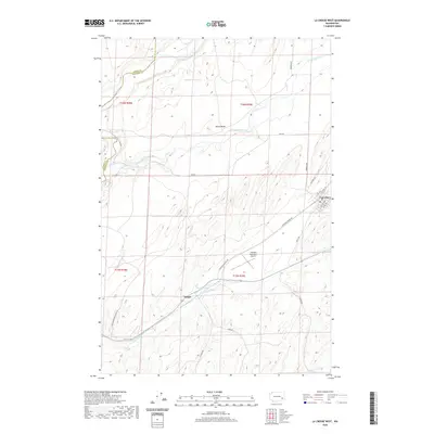 2020 La Crosse West2020 Print · USGSThe Palouse hills of Whitman County come into focus during the early twenty-first century, showing a landscape defined by deep coulees and rural crossroads. Local researchers can trace family lands near Lacrosse and the settlement at Pampa, or locate landmarks like Black Butte and Pampa Pond.
 - 2020 Map of Pullman, 2020 Print
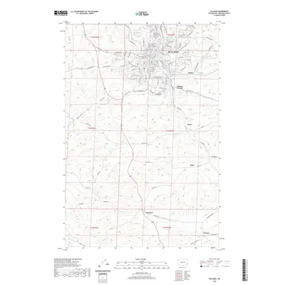 2020 Pullman2020 Print · USGSWhitman County in the early twenty-first century reveals the enduring agricultural roots of the Palouse around Pullman. Genealogists and researchers can trace rural life through landmarks like Pullman City Cem and small outlying settlements such as Johnson and Staley.
 - 2020 Map of La Crosse East, 2020 Print
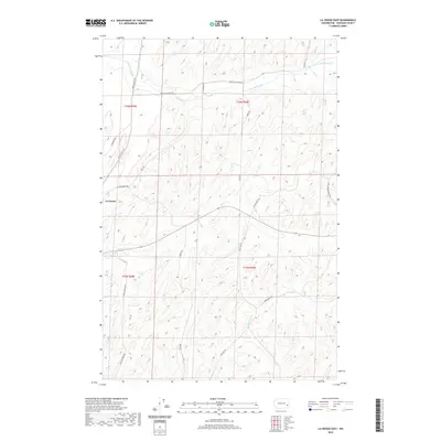 2020 La Crosse East2020 Print · USGSWhitman County agriculture and the winding Union Flat Creek define this landscape in the early twenty-first century. Genealogists and local historians can trace legacy family-named routes like Jim Knott Rd and Long John Monasch Rd near La Crosse.
 - 2020 Map of Dusty, 2020 Print
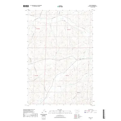 2020 Dusty2020 Print · USGSDusty and the surrounding Whitman County wheat country are documented here in the early twenty-first century. Researchers can trace historic family holdings and drainage patterns through landmarks like Rock Spring Gulch, Long John Monasch Rd, and Alkali Flat Cr.
 - 2020 Map of Endicott, 2020 Print
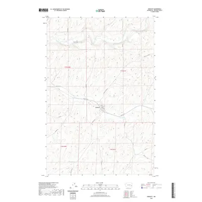 2020 Endicott2020 Print · USGSWhitman County's agricultural heartland is documented here in the early twenty-first century, centered on the town of Endicott. Researchers can trace local landmarks like Fisher Bridge and the path of Rebel Flat Cr through the Palouse hills.
 - 2020 Map of Ping, 2020 Print
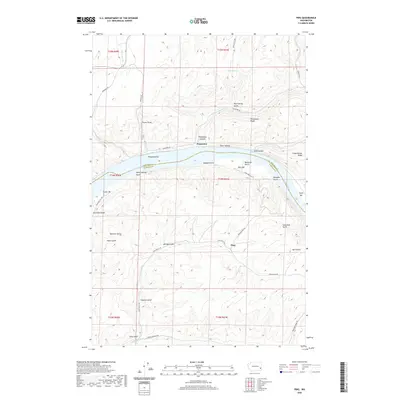 2020 Ping2020 Print · USGSThe Snake River breaks through the high plateaus of Garfield and Whitman counties in this modern topographic survey. Researchers can trace historic river landings and steep upland routes like Penawawa Bar, Tucker Bar, and the winding Fincher Grade.
 - 2020 Map of Colfax South, 2020 Print
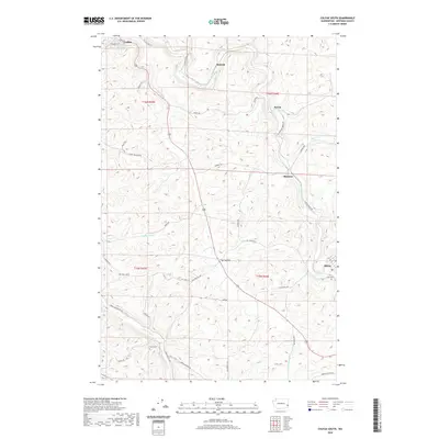 2020 Colfax South2020 Print · USGSWhitman County's agricultural heartland is documented here in the early twenty-first century, showing the rural stretches between Colfax and Albion. You can trace old property access and local landmarks like Guy Cem, Risbeck, and the winding course of the S Fork Palouse River.
 - 2020 Map of Elberton, 2020 Print
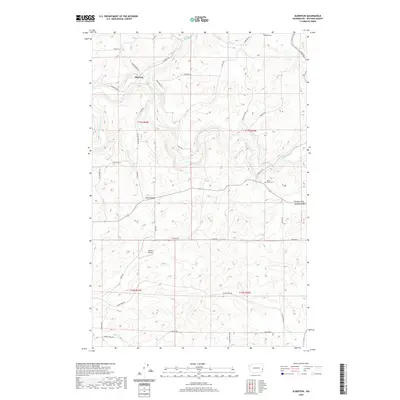 2020 Elberton2020 Print · USGSWhitman County's agricultural heartland is captured here in the early twenty-first century as the Palouse River winds through the valley. Genealogists and local historians can trace family-named landmarks like Eden Valley Cem, Turnbow Flat, and Stueckle Rd.
 - 2020 Map of Colfax North, 2020 Print
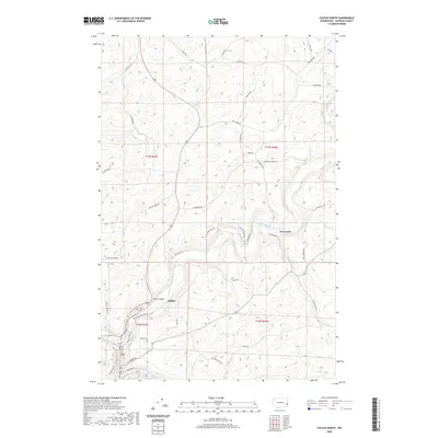 2020 Colfax North2020 Print · USGSWhitman County's dramatic landscape and the northern expansion of Colfax are documented here in the modern era. Researchers can trace family-named rural routes like Imler Rd and Mullen Rd or locate historical landmarks including Colfax Cem and the settlement of Glenwood.
 - 2020 Map of Delaney, 2020 Print
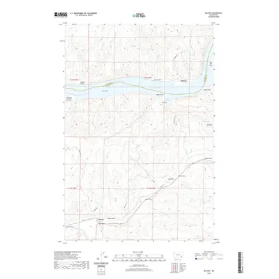 2020 Delaney2020 Print · USGSColumbia County rural life and river commerce meet in this modern survey of the Snake River corridor. Researchers can trace family-named landmarks and old road networks connecting Delaney, Jackson, and the Pataha Valley.
Showing maps 1-25 of 124
Top cities of Whitman County
- Pullman historical maps
- Colfax historical maps
- Palouse historical maps
- Tekoa historical maps
- Rosalia historical maps
- Garfield historical maps
See more
Frequently asked questions
- What are the different types of historical maps available for Whitman County?
- What is the oldest map of Whitman County?
- Where can I purchase historical maps of Whitman County for my home or office?
- Where can I download high-res historical maps of Whitman County?
- Are there historical topographic maps available for Whitman County?
- Is there historical aerial imagery available for Whitman County?
- Where are historical maps of Whitman County sourced from?