2000s (21st Century) Maps of Greenbrier County, West Virginia
Explore 161 historic maps of Greenbrier County from the 2000s (21st Century). These maps offer a rare glimpse into what life looked like during the 2000s — showing old roads, neighborhoods, homes, and landmarks that have changed or disappeared over time.
Whether you're researching your family's past, planning a metal detecting trip, or studying how Greenbrier County's landscape evolved across the 2000s, these high-resolution maps are a powerful tool for exploring the history of this region.
- Focus on a specific era: All maps on this page are from the 2000s, giving you a focused view of this time period.
- See what’s changed: Compare century-old streets, trails, and buildings to today's modern landscape using overlays and satellite layers.
- Research with precision: Use these maps for genealogy, historical research, land use analysis, or educational projects.
- View, download, or print: Maps are fully viewable online in high resolution, and can be downloaded or printed for your own records.
Start exploring Greenbrier County's history through authentic maps from the 2000s. This is your window into the past.
Greenbrier County, WV maps
(161)- 2000 Map of Winona, 2001 Print
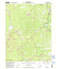 2000 Winona2001 Print · USGSThe coal and timber country of Fayette County is captured here at the start of the new millennium. Local historians and genealogists can trace the communities of Winona and Clifftop, locating landmarks like the Old Stone House, Brackens Creek Ch, and the Air Shaft Mine.
 - 2010 Map of Corliss, 2010 Print
 2010 Corliss2010 Print · USGSFayette County’s rural highlands are documented here during the early twenty-first century, showing a landscape shaped by the Meadow River. Researchers can locate historic sites such as the Germany School, the Sugar Grove Lookout Tower, and the waters of The Loop.
 - 2011 Map of Cornstalk, 2011 Print
 2011 Cornstalk2011 Print · USGSGreenbrier County remains a landscape of high ridges and scattered post office hamlets in this early twenty-first-century survey. Genealogists and local historians can trace the positions of the Cornstalk Post Office, Clintonville, and the Wallace Memorial Cemetery among the hollows.
 - 2011 Map of Lewisburg, 2011 Print
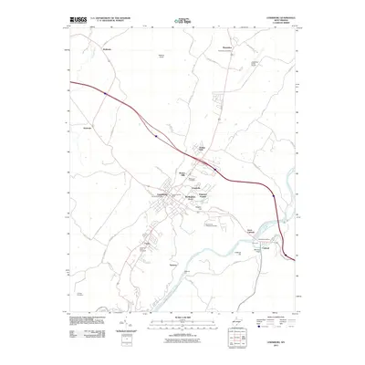 2011 Lewisburg2011 Print · USGSLewisburg and the Greenbrier River valley are captured in this recent survey during a period of modern residential expansion. Genealogists and local historians can trace family ties at the Old Stone Cemetery or locate landmarks like Mathews Ford and the Greenbrier Valley Fairground.
 - 2011 Map of Rainelle, 2011 Print
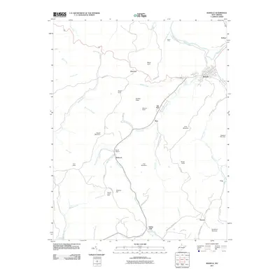 2011 Rainelle2011 Print · USGSThe Greenbrier County highlands are shown in detail during the early twenty-first century, centered on the historic lumber town of Rainelle. Researchers can trace the valley settlements of Bellwood and McRoss or locate landmarks like the Monclo Slurry Dam.
 - 2011 Map of Rupert, 2011 Print
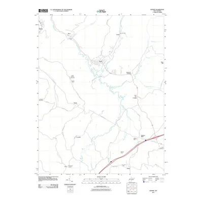 2011 Rupert2011 Print · USGSGreenbrier County life in the early twenty-first century is centered around the Meadow River and its rural mountain communities. Genealogists and local historians can trace family locations near Rupert, Meadow Bluff, and the At the End of the Trail Cemetery.
 - 2011 Map of Meadow Bridge, 2011 Print
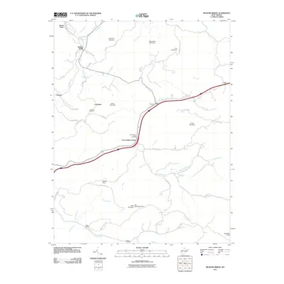 2011 Meadow Bridge2011 Print · USGSFayette County mountain life in the early twenty-first century is defined by high ridges and small crossroads communities. Genealogists and local historians can trace the legacy of remote outposts like Green Sulphur Springs, Lockbridge, and Ramp along the banks of Meadow Creek.
 - 2011 Map of Fort Spring, 2011 Print
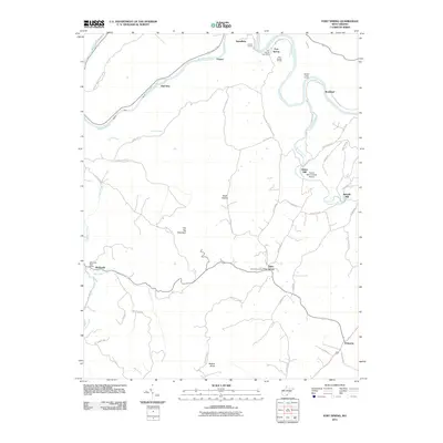 2011 Fort Spring2011 Print · USGSGreenbrier County, West Virginia, is shown here in the early twenty-first century, centered on the river-and-rail hub of Fort Spring. Local historians can trace the paths of industry and mail service through landmarks like the Hokes Mill Covered Bridge, Nickells Mill, and several rural post offices.
 - 2011 Map of Winona, 2011 Print
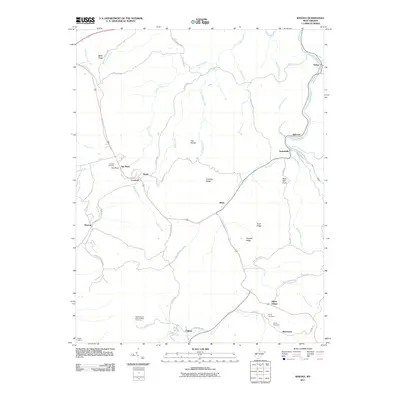 2011 Winona2011 Print · USGSFayette County’s high ridges and river valleys are captured here as they appeared in the early twenty-first century. Researchers can locate family heritage sites like Jennette Cemetery and Amick Cemetery or trace the settlements of Lookout, Winona, and Clifftop.
 - 2011 Map of Quinwood, 2011 Print
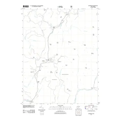 2011 Quinwood2011 Print · USGSWest Virginia coal country comes into focus in this early twenty-first-century survey of the rugged Quinwood area. Researchers can trace the network of settlements like Marfrance, Bellburn, and Anjean nestled between high points like Rich Knob Lookout Tower and Pollock Mountain.
 - 2011 Map of Nettie, 2011 Print
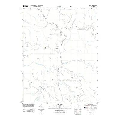 2011 Nettie2011 Print · USGSNicholas County settlements and family cemeteries are documented here in the early twenty-first century. Genealogists can trace local roots through the Penile Cemetery, Fields Cemetery, and the historic Nettie Post Office in the heart of the community.
 - 2011 Map of Lake Sherwood, 2011 Print
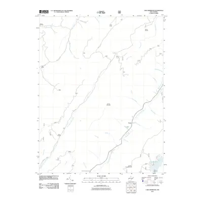 2011 Lake Sherwood2011 Print · USGSGreenbrier County's high ridges and creek valleys are captured here in the early twenty-first century. Researchers can trace historic spots like Columbia Sulphur Springs and the small settlement of Trainer near the waters of Lake Sherwood.
 - 2011 Map of Ronceverte, 2011 Print
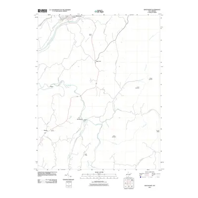 2011 Ronceverte2011 Print · USGSRonceverte and the southern Greenbrier County highlands are captured here in the early twenty-first century. Genealogists and local historians can trace family land near Organ Cave, Patton, and the Lebanon Cemetery along Second Creek.
 - 2011 Map of Alvon, 2011 Print
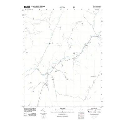 2011 Alvon2011 Print · USGSGreenbrier County is shown here in the early twenty-first century, centered on the Anthony Creek corridor. Genealogists and historians can trace old homesteads and local landmarks near Neola, the Hopkins Mountain Lookout Tower, and Camp Wood.
 - 2011 Map of Jerrys Run, 2011 Print
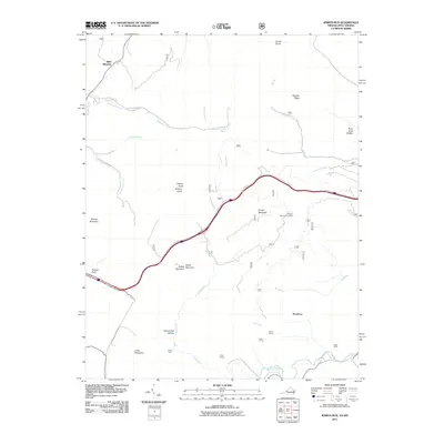 2011 Jerrys Run2011 Print · USGSThe Virginia-West Virginia borderlands are revealed in this 2011 survey, showing a landscape defined by industrial tunnels and high mountain ridges. Local historians can trace the paths of Moore Tunnel and Stack Mine or locate the Brushy Mountain Lookout.
 - 2011 Map of Rucker Gap, 2011 Print
 2011 Rucker Gap2011 Print · USGSThe Virginia-West Virginia borderlands at Rucker Gap are shown here in the early 21st century, dominated by high peaks and forested hollows. Researchers can locate the Watts Chapel Cemetery or trace the remote drainages of Sherwood Lake and Middle Fork Anthonys Creek.
 - 2011 Map of Dawson, 2011 Print
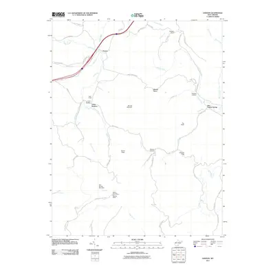 2011 Dawson2011 Print · USGSGreenbrier County is shown during the early twenty-first century, when small mountain settlements still anchored the ridges and river valleys. Researchers can trace local landmarks like the Grassy Meadows Post Office, the old Blue Sulphur Springs site, and the Keeney Knob Fire Tower.
 - 2011 Map of Anthony, 2011 Print
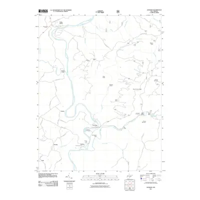 2011 Anthony2011 Print · USGSThe Greenbrier River valley at the start of the 2010s shows a landscape of small settlements and outdoor recreation. Trace family roots and local landmarks from Falling Spring down to the Anthony Post Office and the Blue Bend Campground.
 - 2011 Map of Mountain Grove, 2011 Print
 2011 Mountain Grove2011 Print · USGSThe Virginia and West Virginia borderlands are documented here in the early twenty-first century, showcasing the remote mountain valleys and river crossings of the Alleghenies. Researchers can locate family-named landmarks and historical sites like Schoolhouse Hollow, Mooretown, and the Mcclintic Bridge.
 - 2011 Map of Asbury, 2011 Print
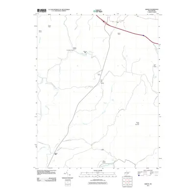 2011 Asbury2011 Print · USGSGreenbrier County's rural landscape is captured here in the early twenty-first century, showing a region shaped by limestone springs and traditional mills. Researchers can trace family history through the Harrah Cemetery or locate old industrial sites like Blaker Mills and Piercys Mill.
 - 2011 Map of Glace, 2011 Print
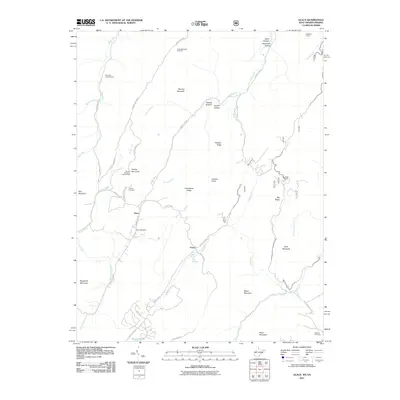 2011 Glace2011 Print · USGSMonroe County and the surrounding Allegheny ridges are captured here in the early twenty-first century. Genealogists and local historians can locate the Glace Post Office, the Dowdy Cemetery, and landmarks like the Brushy Mountain Lookout Tower.
 - 2011 Map of Williamsburg, 2011 Print
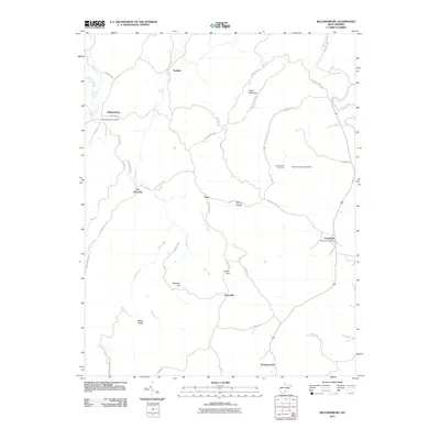 2011 Williamsburg2011 Print · USGSGreenbrier County, West Virginia, is shown here in the early twenty-first century, preserving a landscape of historic frontier outposts and karst springs. Researchers can trace the rural communities of Unus and Sunlight or locate family sites at Pilgrim Rest Cemetery.
 - 2011 Map of Alderson, 2011 Print
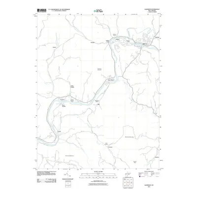 2011 Alderson2011 Print · USGSIn the Greenbrier Valley during the early twenty-first century, the river remains the lifeblood of communities like Alderson and Pence Springs. Genealogists and hikers can trace local routes through Lowell and Valley Heights, or find landmarks like the Hinton-Alderson Airport.
 - 2011 Map of Duo, 2011 Print
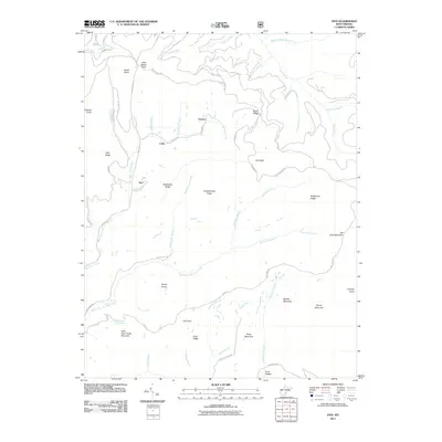 2011 Duo2011 Print · USGSGreenbrier County at the start of the 2010s shows a landscape of remote mountain settlements and winding timber and mining roads. Researchers can trace the drainages of North Fork Big Clear Creek and locate family landmarks like Kuhn Glades and Joe Knob.
 - 2011 Map of Lobelia, 2011 Print
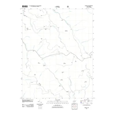 2011 Lobelia2011 Print · USGSIn the highlands of West Virginia, this 2011 survey shows the ridges and deep drainages of the Monongahela National Forest. Researchers can trace the backcountry roads to Lobelia and Dogway, or locate forest landmarks like the Briery Knob Lookout Tower and Eagles Camp.
Showing maps 1-25 of 161
Top cities of Greenbrier County
- Lewisburg historical maps
- White Sulphur Springs historical maps
- Fairlea historical maps
- Ronceverte historical maps
- Rainelle historical maps
- Rupert historical maps
See more
Frequently asked questions
- What are the different types of historical maps available for Greenbrier County?
- What is the oldest map of Greenbrier County?
- Where can I purchase historical maps of Greenbrier County for my home or office?
- Where can I download high-res historical maps of Greenbrier County?
- Are there historical topographic maps available for Greenbrier County?
- Is there historical aerial imagery available for Greenbrier County?
- Where are historical maps of Greenbrier County sourced from?