2020s Maps of Greenbrier County, West Virginia
Explore 32 historic maps of Greenbrier County from the 2020s. These maps offer a rare glimpse into what life looked like during the 2020s — showing old roads, neighborhoods, homes, and landmarks that have changed or disappeared over time.
Whether you're researching your family's past, planning a metal detecting trip, or studying how Greenbrier County's landscape evolved across the 2020s, these high-resolution maps are a powerful tool for exploring the history of this region.
- Focus on a specific era: All maps on this page are from the 2020s, giving you a focused view of this time period.
- See what’s changed: Compare century-old streets, trails, and buildings to today's modern landscape using overlays and satellite layers.
- Research with precision: Use these maps for genealogy, historical research, land use analysis, or educational projects.
- View, download, or print: Maps are fully viewable online in high resolution, and can be downloaded or printed for your own records.
Start exploring Greenbrier County's history through authentic maps from the 2020s. This is your window into the past.
Greenbrier County, WV maps
(32)- 2022 Map of Falling Spring, 2022 Print
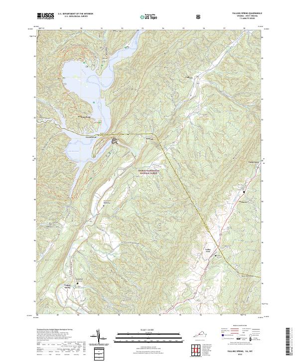 2022 Falling Spring2022 Print · USGSFalling Spring and the Jackson River valley are captured here in the early twenty-first century as they wind through the Appalachian ridges. Genealogists can trace family roots at the Falling Spring Presbyterian Church Cem or find old homesites near Tinkertown and Valley View.
 - 2022 Map of Mountain Grove, 2022 Print
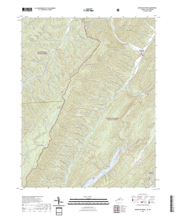 2022 Mountain Grove2022 Print · USGSHigh in the Allegheny Mountains along the Virginia and West Virginia border, this modern survey details a landscape of deep hollows and forest ridges. Genealogists can trace family landmarks like the McClintic Family Cem or find Rimel and the Eden United Methodist Church near the Jackson River.
 - 2022 Map of Rucker Gap, 2022 Print
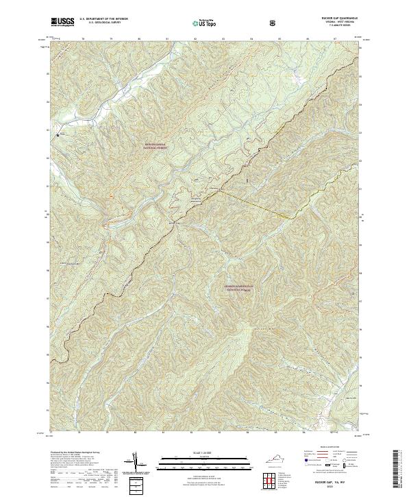 2022 Rucker Gap2022 Print · USGSThe high ridges of the Allegheny Mountains straddle the Virginia and West Virginia border in this contemporary survey of the national forest heartland. Researchers can trace historic access routes like Rucker Gap Rd and locate landmarks such as Chapel Cem or the settlement at Watts.
 - 2022 Map of Jerrys Run, 2022 Print
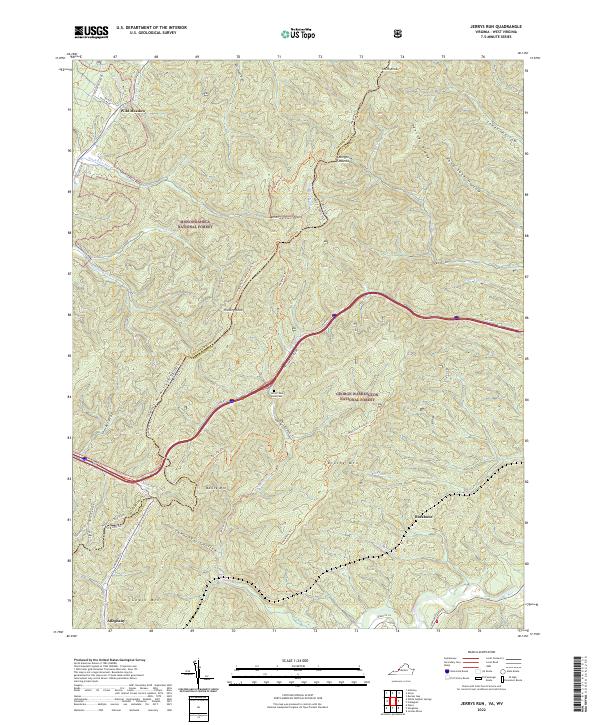 2022 Jerrys Run2022 Print · USGSThe West Virginia and Virginia border comes alive in the early twenty-first century as it cuts through the high ridges of the Allegheny Mountains. Genealogists and hikers can trace the Allegheny Trl past landmarks like Hickory Knob or locate the remote Jerrys Run Road Cem.
 - 2023 Map of Williamsburg, 2023 Print
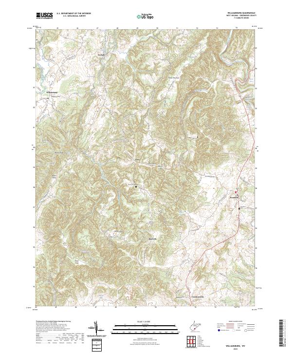 2023 Williamsburg2023 Print · USGSGreenbrier County remains a landscape of high ridges and hidden springs in this recent survey of the West Virginia backcountry. Researchers can locate historic rural congregations and family burial sites at Wesley Chapel Cem, Pilgrim Rest Cem, and the communities of Unus and Brantville.
 - 2023 Map of Fort Spring, 2023 Print
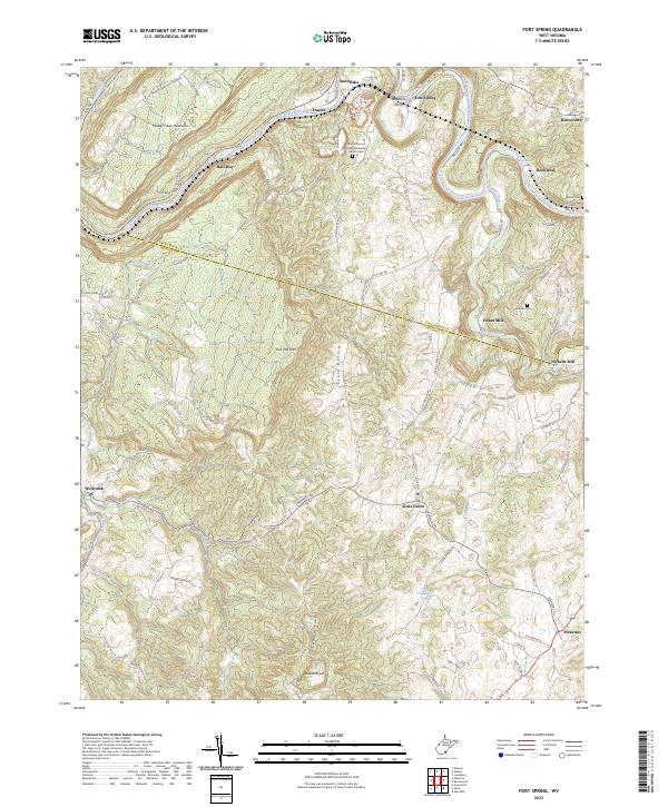 2023 Fort Spring2023 Print · USGSThe Greenbrier River valley and Monroe County uplands are documented here in recent years, showing a landscape of traditional farming and river crossings. Researchers can locate the Stephens Ferry site, Nickells Mill, and the historic Lincoln Cem.
 - 2023 Map of Cornstalk, 2023 Print
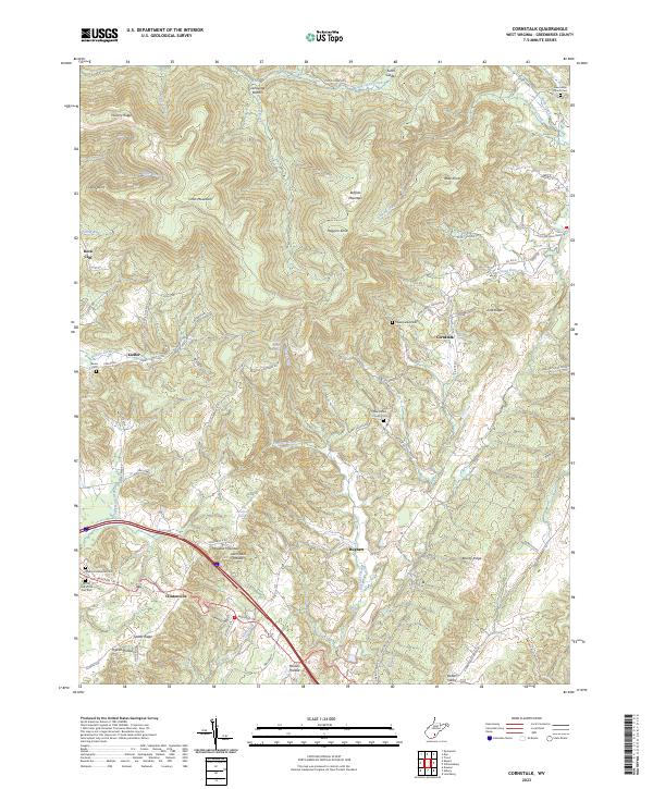 2023 Cornstalk2023 Print · USGSGreenbrier County's high ridges and quiet hollows are documented here during the early twenty-first century. Genealogists and local historians can trace family locations through numerous rural burial sites like Crookshanks Cem and settlements such as Clintonville and Kieffer.
 - 2023 Map of Asbury, 2023 Print
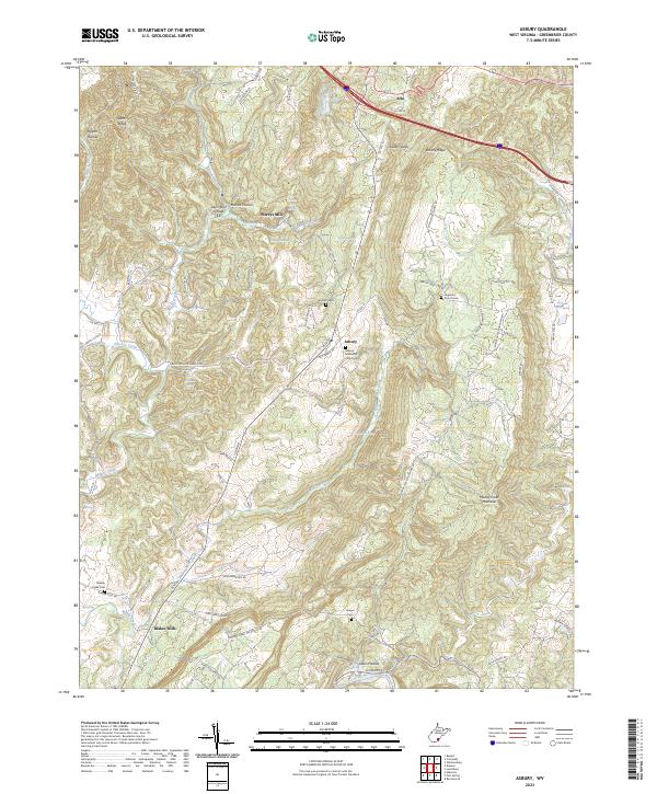 2023 Asbury2023 Print · USGSGreenbrier County’s rural uplands are shown in this contemporary study of the area surrounding Asbury. Genealogists and local historians can trace family landmarks and burial sites like Highland Church Cem, Blaker Mills, and Harrah Cem.
 - 2023 Map of Rupert, 2023 Print
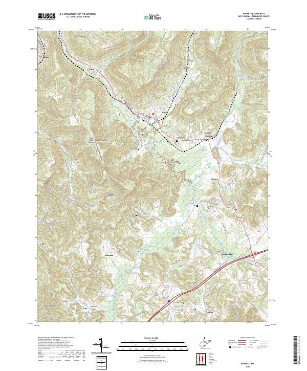 2023 Rupert2023 Print · USGSGreenbrier County's high ridges and river valleys are documented here at the start of the 2020s, centered on the settlement of Rupert. Genealogists can trace family locations near historic sites like Amwell Baptist Church Cem, the Callahan School, and Meadow Bluff.
 - 2023 Map of Alderson, 2023 Print
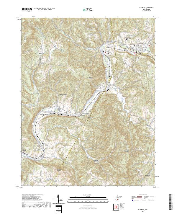 2023 Alderson2023 Print · USGSThe Greenbrier River valley comes into focus in this recent survey of the borderlands between Greenbrier, Monroe, and Summers counties. Researchers can trace ancestral sites at Old Greenbrier Baptist Church Cem and locate river landmarks like Haynes Ferry and Johnson Island.
 - 2023 Map of Ronceverte, 2023 Print
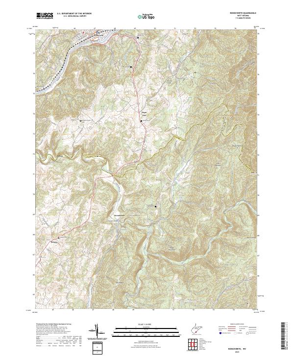 2023 Ronceverte2023 Print · USGSGreenbrier and Monroe counties meet in this modern survey of a storied mountain corridor. Researchers can trace the rural legacy of the Seneca Trl through Organ Cave and Secondcreek, locating sites like Elizabeth Chapel Cem and Morgan Cem.
 - 2023 Map of Lewisburg, 2023 Print
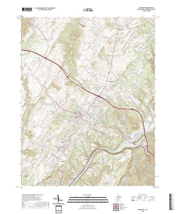 2023 Lewisburg2023 Print · USGSModern Lewisburg and its surrounding river valleys are shown here during a period of active preservation and growth. Researchers can trace historic burial sites at Confederate Cem and Old Stone Cem or follow the paths of the Greenbrier River Rail-Trl.
 - 2023 Map of Anthony, 2023 Print
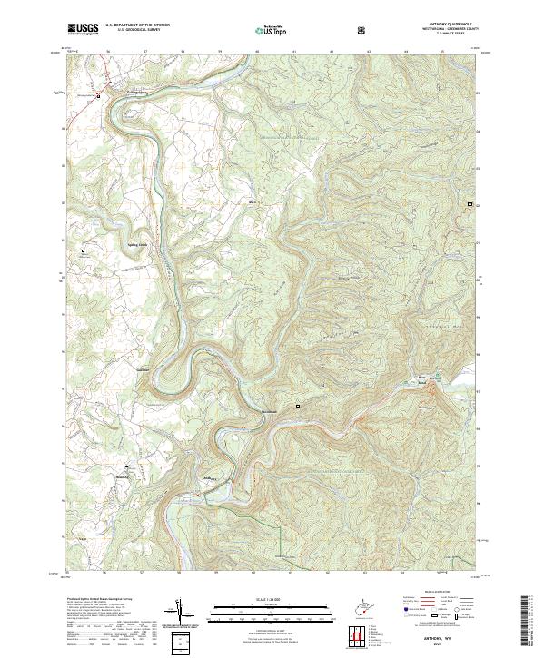 2023 Anthony2023 Print · USGSGreenbrier County's river-cut highlands are documented here in a modern survey of the Greenbrier River valley and its surrounding wilderness. Researchers can trace the legacy of old settlements like Falling Spring and find family names at Walnut Grove Cem and Enon Church.
 - 2023 Map of White Sulphur Springs, 2023 Print
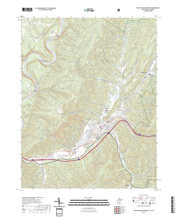 2023 White Sulphur Springs2023 Print · USGSWhite Sulphur Springs and the surrounding Greenbrier Valley are documented here in the early 2020s, showing the intersection of resort history and mountain wilderness. Genealogists can locate legacy sites like Whatcoat United Methodist Church/Cem and old rail-stop communities including Keister and Loopemount.
 - 2023 Map of Meadow Bridge, 2023 Print
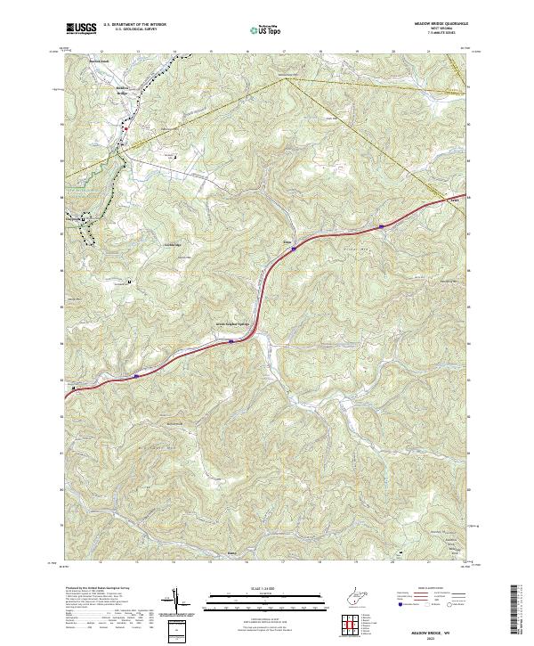 2023 Meadow Bridge2023 Print · USGSMeadow Bridge and the surrounding mountain ridges are shown at the junction of three West Virginia counties in this recent survey. Researchers can locate family landmarks like Wickline Cem and Harless Spring or trace the early settlement of Green Sulphur Springs.
 - 2023 Map of Rainelle, 2023 Print
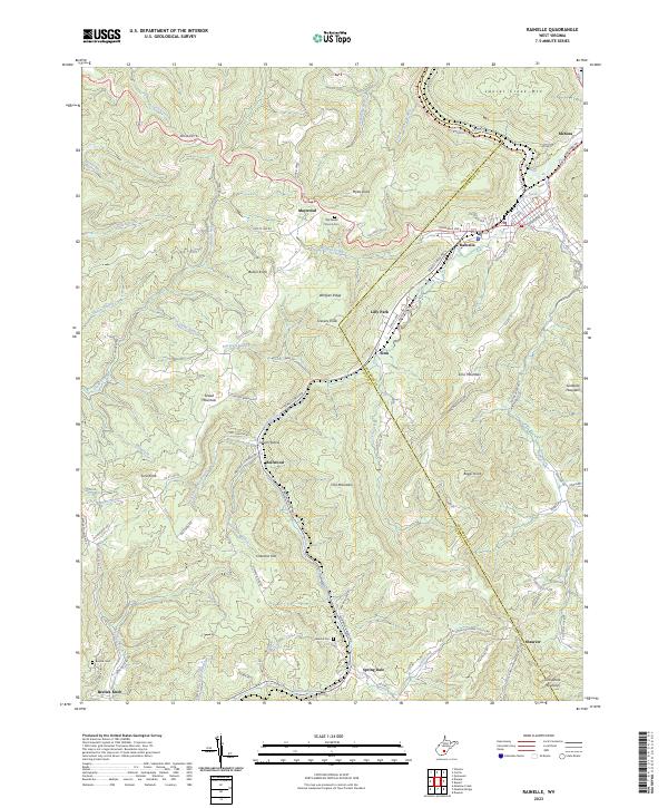 2023 Rainelle2023 Print · USGSThe borderlands of Greenbrier and Fayette County are shown here in the early twenty-first century as industrial rail lines transform into recreational trails. Genealogists can locate family landmarks such as Big Sewell Church Cem and the upland community of McRoss.
 - 2023 Map of Glace, 2023 Print
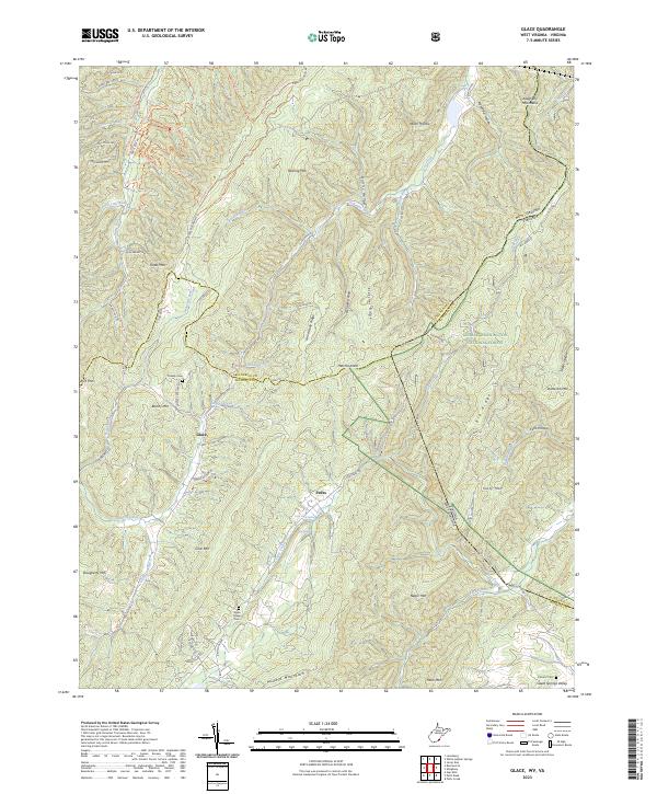 2023 Glace2023 Print · USGSThe West Virginia and Virginia borderlands come to life in this contemporary survey of the Greenbrier and Monroe County high country. Genealogists and hikers can trace the paths around Glace, find the secluded Wylie Chapel Cem, and explore the slopes of Kates Mtn.
 - 2023 Map of Corliss, 2023 Print
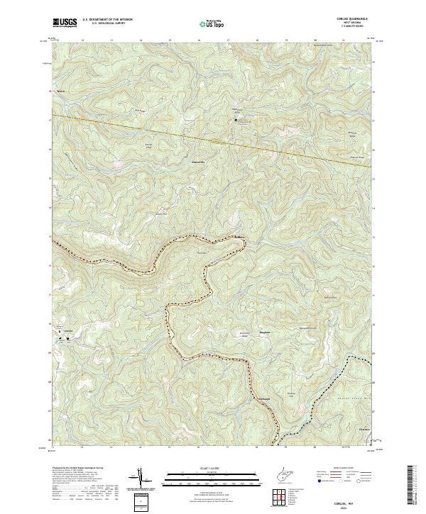 2023 Corliss2023 Print · USGSGreenbrier and Nicholas Counties are shown here during the early twenty-first century as the landscape transitions toward recreation. Researchers can trace the Meadow River Rail-Trail past high points like Beargarden Knob and family sites like Shawver Cem or Rider Cem.
 - 2023 Map of Fork Mountain, 2023 Print
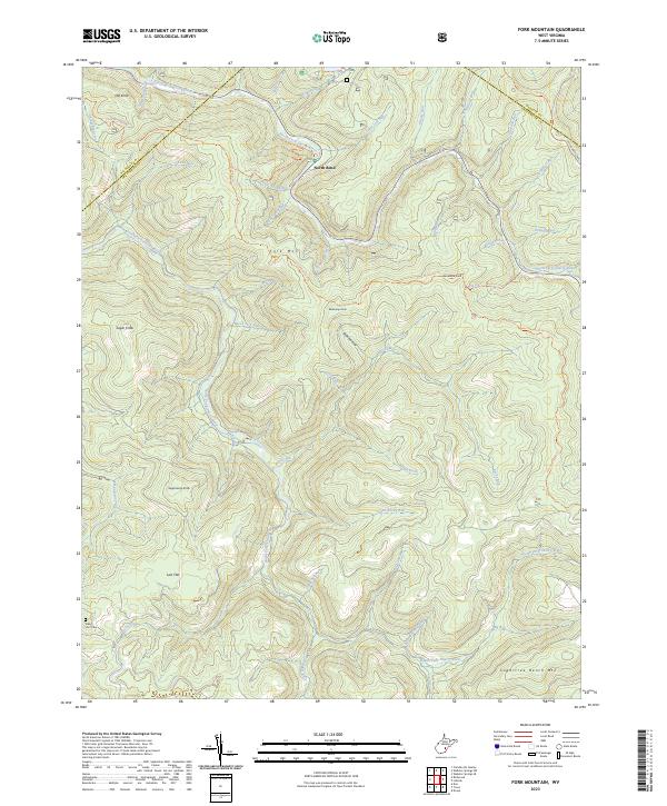 2023 Fork Mountain2023 Print · USGSGreenbrier County's high ridges and river forks are captured here in the early twenty-first century. Researchers can locate the Nancy Hart Cem and trace old mountain paths like the POCAHONTAS TRAIL or the Fork Mountain Tri through the dense forest.
 - 2023 Map of Dawson, 2023 Print
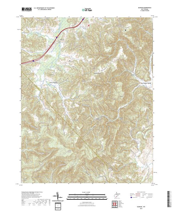 2023 Dawson2023 Print · USGSGreenbrier County's high ridges and spring-fed valleys are detailed here, showing the rural character of the West Virginia highlands. Genealogists and hikers can locate Maude Chapel Cem, the Keeney Knob Fire Tower, and the waters of Blue Sulphur Spring.
 - 2023 Map of Droop, 2023 Print
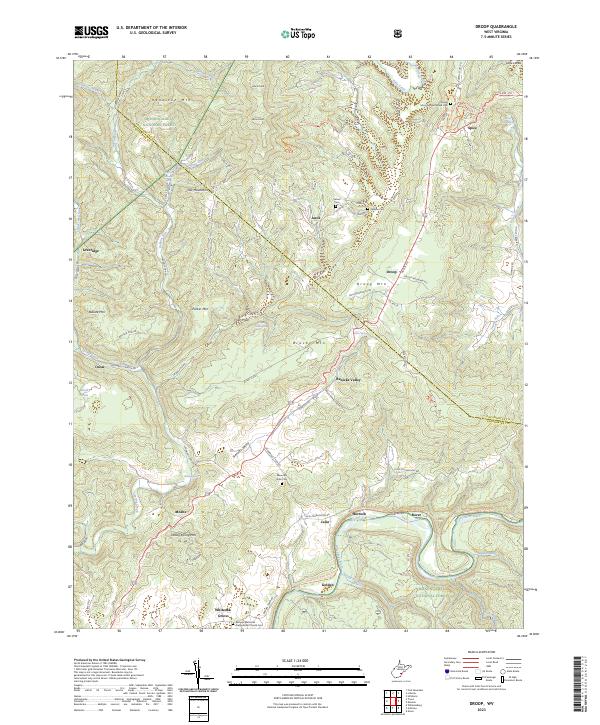 2023 Droop2023 Print · USGSGreenbrier and Pocahontas counties meet in this rugged highland region, where the history of the Civil War era is preserved in local landmarks. Researchers can trace the legacy of early settlements through Mountain Battlefield Cem, Renicks Valley, and Whiteoak Grove.
 - 2023 Map of Quinwood, 2023 Print
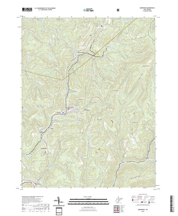 2023 Quinwood2023 Print · USGSIn the modern West Virginia coalfields, the rugged terrain of Greenbrier and Nicholas Counties continues to shape local life. Genealogists can trace family connections through sites like Orient Hill Baptist Church Cem and the small settlements of Quinwood and Anjean.
 - 2023 Map of Duo, 2023 Print
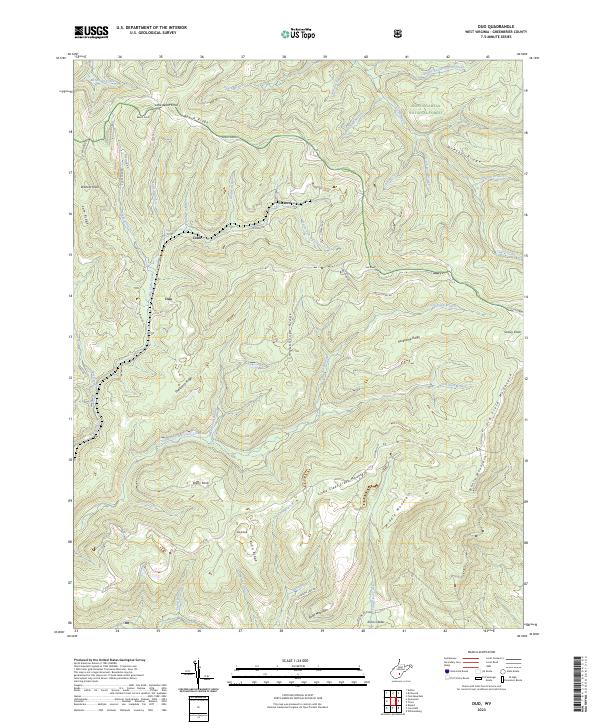 2023 Duo2023 Print · USGSGreenbrier County, West Virginia, at the start of the 2020s shows a landscape of ridges and deep creek valleys. Researchers can trace local routes like Anjean Rd to reach the settlements of Clearco, Duo, and Cobb.
 - 2023 Map of Webster Springs SW, 2023 Print
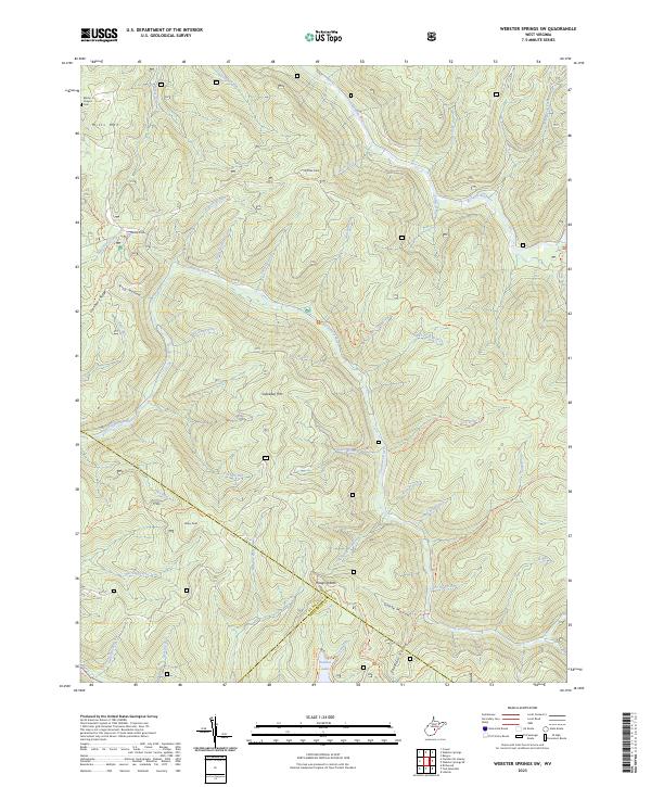 2023 Webster Springs SW2023 Print · USGSThe high ridges of Webster and Nicholas counties are detailed in this recent survey of West Virginia's interior. Researchers can trace the drainages of the Cranberry River and Williams River, locating landmarks like Blacks Chapel Cem and Hanging Rock.
 - 2023 Map of Denmar, 2023 Print
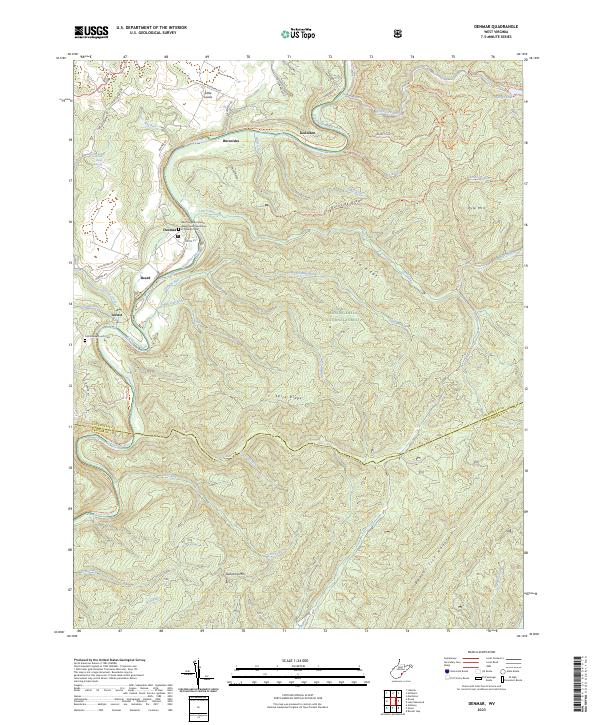 2023 Denmar2023 Print · USGSPocahontas County at the edge of the Monongahela forest reveals a landscape of river-valley settlements and mountain ridges. Trace the legacy of the West Virginia Colored Tuberculosis Sanitarium and explore old river towns like Beard and Locust.
Showing maps 1-25 of 32
Top cities of Greenbrier County
- Lewisburg historical maps
- White Sulphur Springs historical maps
- Fairlea historical maps
- Ronceverte historical maps
- Rainelle historical maps
- Rupert historical maps
See more
Frequently asked questions
- What are the different types of historical maps available for Greenbrier County?
- What is the oldest map of Greenbrier County?
- Where can I purchase historical maps of Greenbrier County for my home or office?
- Where can I download high-res historical maps of Greenbrier County?
- Are there historical topographic maps available for Greenbrier County?
- Is there historical aerial imagery available for Greenbrier County?
- Where are historical maps of Greenbrier County sourced from?