2000s (21st Century) Maps of Mason County, West Virginia
Explore 38 historic maps of Mason County from the 2000s (21st Century). These maps offer a rare glimpse into what life looked like during the 2000s — showing old roads, neighborhoods, homes, and landmarks that have changed or disappeared over time.
Whether you're researching your family's past, planning a metal detecting trip, or studying how Mason County's landscape evolved across the 2000s, these high-resolution maps are a powerful tool for exploring the history of this region.
- Focus on a specific era: All maps on this page are from the 2000s, giving you a focused view of this time period.
- See what’s changed: Compare century-old streets, trails, and buildings to today's modern landscape using overlays and satellite layers.
- Research with precision: Use these maps for genealogy, historical research, land use analysis, or educational projects.
- View, download, or print: Maps are fully viewable online in high resolution, and can be downloaded or printed for your own records.
Start exploring Mason County's history through authentic maps from the 2000s. This is your window into the past.
Mason County, WV maps
(38)- 2002 Map of Glenwood, 2006 Print
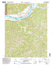 2002 Glenwood2006 Print · USGSThe Ohio River valley and the ridges of Cabell and Mason counties are shown here as they appeared at the start of the century. Genealogists and local historians can trace rural family life through landmarks like Moores Chapel, Swan Creek Sch, and Dudley Gap.
 - 2002 Map of Apple Grove, 2006 Print
 2002 Apple Grove2006 Print · USGSLife along the Ohio River at the dawn of the 21st century centered on riverfront hamlets and the ridges of the Wayne National Forest. Researchers can trace local heritage through sites like Mercers Bottom, Sunnyside School, and several family-linked cemeteries like Kings Chapel.
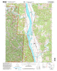
 - 2011 Map of Cheshire, 2011 Print
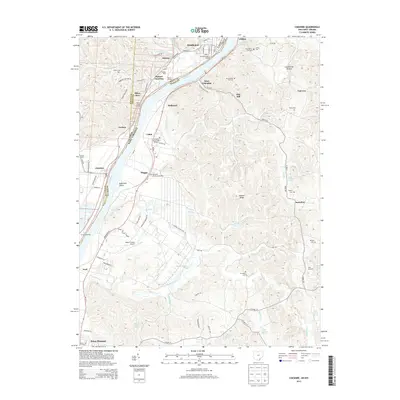
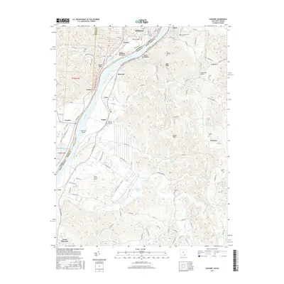
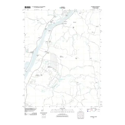 2011 Cheshire2011 Print · USGSCovers Mason County, including Point Pleasant, Middleport, and other nearby areas
 - 2011 Map of Addison, 2011 Print
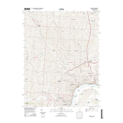
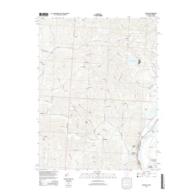
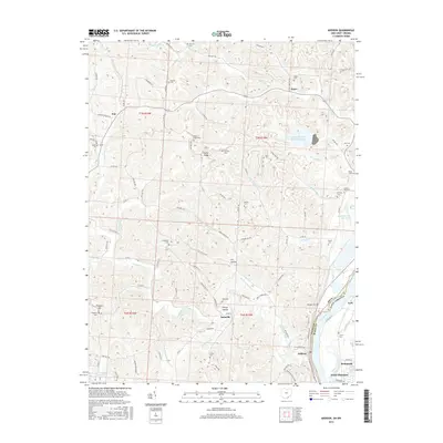
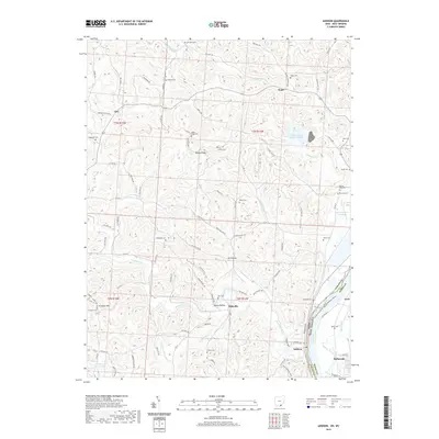
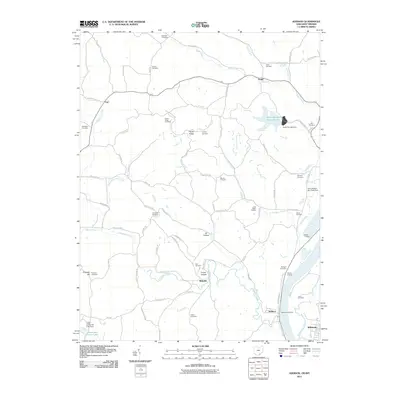 2011 Addison2011 Print · USGSCovers Mason County, including Point Pleasant, Addison, and other nearby areas
 - 2011 Map of Chester, 2011 Print
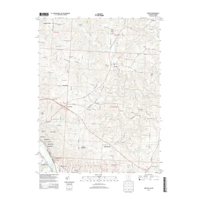
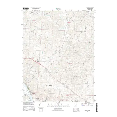
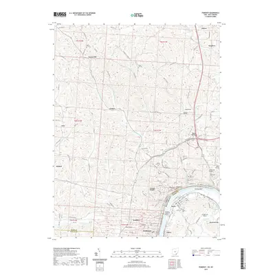
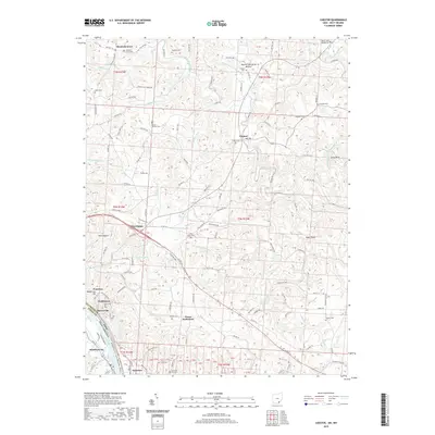
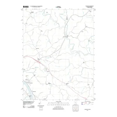 2011 Chester2011 Print · USGSCovers Mason County, including Chester, Pomeroy, and other nearby areas
 - 2011 Map of Gallipolis, 2011 Print
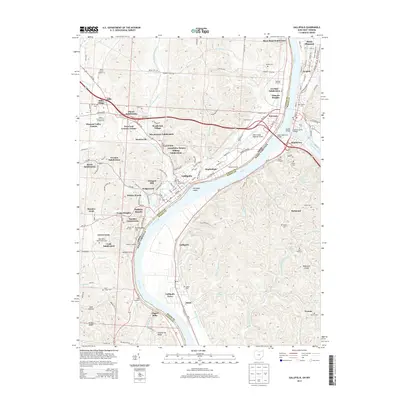
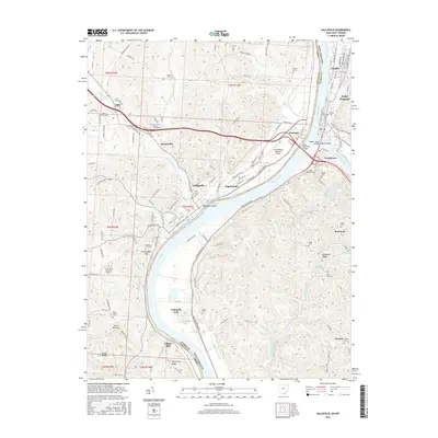
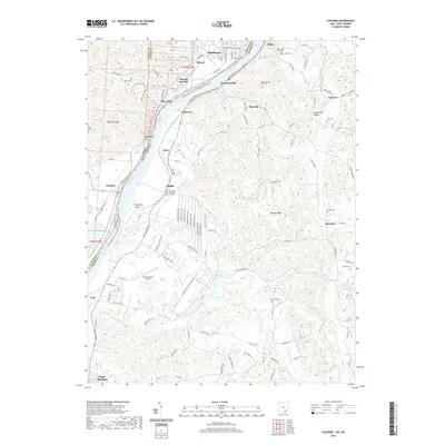
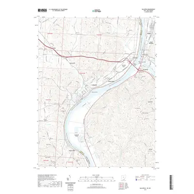
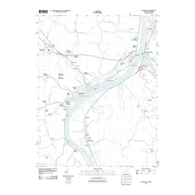 2011 Gallipolis2011 Print · USGSCovers Mason County, including Point Pleasant, Gallipolis, and other nearby areas
 - 2011 Map of Pomeroy, 2011 Print
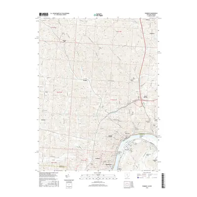
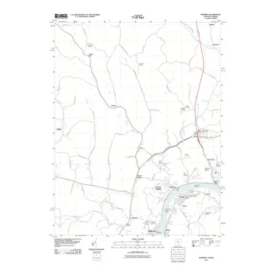 2011 Pomeroy2011 Print · USGSCovers Mason County, including Middleport, Pomeroy, and other nearby areas
 - 2013 Map of Pomeroy, 2013 Print
 2013 Pomeroy2013 Print · USGSCovers Mason County, including Middleport, Pomeroy, and other nearby areas
 - 2013 Map of Addison, 2013 Print
 2013 Addison2013 Print · USGSCovers Mason County, including Point Pleasant, Addison, and other nearby areas
 - 2013 Map of Gallipolis, 2013 Print
 2013 Gallipolis2013 Print · USGSCovers Mason County, including Point Pleasant, Gallipolis, and other nearby areas
 - 2013 Map of Cheshire, 2013 Print
 2013 Cheshire2013 Print · USGSCovers Mason County, including Point Pleasant, Middleport, and other nearby areas
 - 2013 Map of Chester, 2013 Print
 2013 Chester2013 Print · USGSCovers Mason County, including Chester, Pomeroy, and other nearby areas
 - 2016 Map of Addison, 2016 Print
 2016 Addison2016 Print · USGSCovers Mason County, including Point Pleasant, Addison, and other nearby areas
 - 2016 Map of Cheshire, 2016 Print
 2016 Cheshire2016 Print · USGSCovers Mason County, including Point Pleasant, Middleport, and other nearby areas
 - 2016 Map of Gallipolis, 2016 Print
 2016 Gallipolis2016 Print · USGSCovers Mason County, including Point Pleasant, Gallipolis, and other nearby areas
 - 2016 Map of Chester, 2016 Print
 2016 Chester2016 Print · USGSCovers Mason County, including Chester, Pomeroy, and other nearby areas
 - 2016 Map of Pomeroy, 2016 Print
 2016 Pomeroy2016 Print · USGSCovers Mason County, including Middleport, Pomeroy, and other nearby areas
 - 2019 Map of Addison, 2019 Print
 2019 Addison2019 Print · USGSCovers Mason County, including Point Pleasant, Addison, and other nearby areas
 - 2019 Map of Pomeroy, 2019 Print
 2019 Pomeroy2019 Print · USGSCovers Mason County, including Middleport, Pomeroy, and other nearby areas
 - 2019 Map of Cheshire, 2019 Print
 2019 Cheshire2019 Print · USGSCovers Mason County, including Point Pleasant, Middleport, and other nearby areas
 - 2019 Map of Gallipolis, 2019 Print
 2019 Gallipolis2019 Print · USGSCovers Mason County, including Point Pleasant, Gallipolis, and other nearby areas
 - 2019 Map of Chester, 2019 Print
 2019 Chester2019 Print · USGSCovers Mason County, including Chester, Pomeroy, and other nearby areas
 - 2023 Map of Arlee, 2023 Print
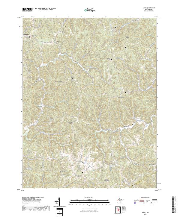 2023 Arlee2023 Print · USGSSettlement in the Mason and Putnam County hills is captured here in the early 2020s, showing a landscape of deep hollows and narrow ridges. Researchers can trace family history through numerous landmarks including Zion Baptist Cem, Potts Chapel Cem, and the small community at Arlee.
 - 2023 Map of Hurricane, 2023 Print
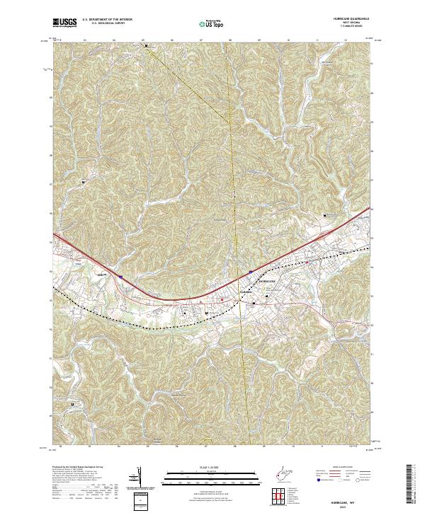 2023 Hurricane2023 Print · USGSThe Teays Valley corridor comes into focus in the early 2020s, showing the modern layout of Hurricane, Milton, and Culloden. Genealogists can trace family plots at Valley View Memorial Park Cem, Zoar Cem, and Martin Cem among the many ridgelines.
 - 2023 Map of Cottageville, 2023 Print
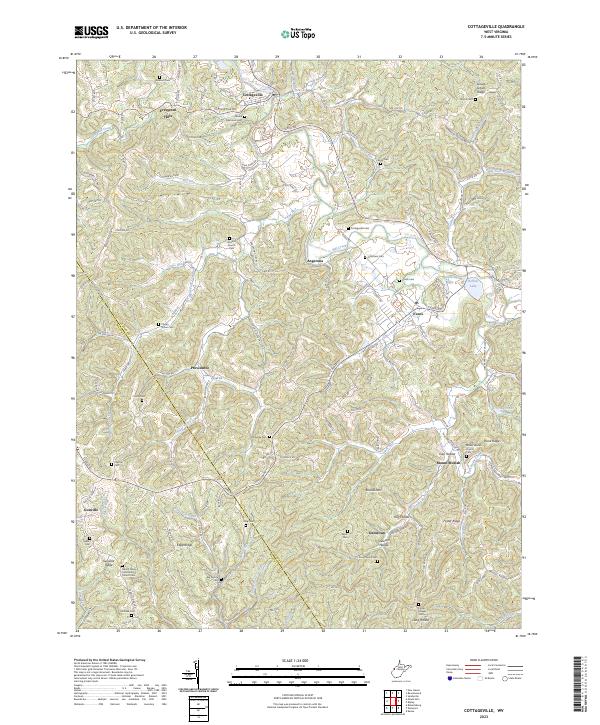 2023 Cottageville2023 Print · USGSWest Virginia's Jackson County uplands come into focus here, showing the rural communities along Mill Creek in the 2020s. Researchers can locate dozens of family burial grounds and historical landmarks like Antioch Church, Blaine Memorial Cem, and Hutchison Lake.
Showing maps 1-25 of 38
Top cities of Mason County
- Point Pleasant historical maps
- New Haven historical maps
- Mason historical maps
- Hartford City historical maps
- Henderson historical maps
- Leon historical maps
Frequently asked questions
- What are the different types of historical maps available for Mason County?
- What is the oldest map of Mason County?
- Where can I purchase historical maps of Mason County for my home or office?
- Where can I download high-res historical maps of Mason County?
- Are there historical topographic maps available for Mason County?
- Is there historical aerial imagery available for Mason County?
- Where are historical maps of Mason County sourced from?