2010s Maps of Mason County, West Virginia
Explore 64 historic maps of Mason County from the 2010s. These maps offer a rare glimpse into what life looked like during the 2010s — showing old roads, neighborhoods, homes, and landmarks that have changed or disappeared over time.
Whether you're researching your family's past, planning a metal detecting trip, or studying how Mason County's landscape evolved across the 2010s, these high-resolution maps are a powerful tool for exploring the history of this region.
- Focus on a specific era: All maps on this page are from the 2010s, giving you a focused view of this time period.
- See what’s changed: Compare century-old streets, trails, and buildings to today's modern landscape using overlays and satellite layers.
- Research with precision: Use these maps for genealogy, historical research, land use analysis, or educational projects.
- View, download, or print: Maps are fully viewable online in high resolution, and can be downloaded or printed for your own records.
Start exploring Mason County's history through authentic maps from the 2010s. This is your window into the past.
Mason County, WV maps
(64)- 2011 Map of Arlee, 2011 Print
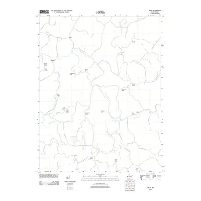 2011 Arlee2011 Print · USGSThe rural ridges of Mason County are captured here in the early twenty-first century, showing a landscape shaped by narrow hollows and high cemeteries. Genealogists can locate family burial sites including Henry Cemetery, Van Sickle Cemetery, and Siloam Cemetery.
 - 2011 Map of Hurricane, 2011 Print
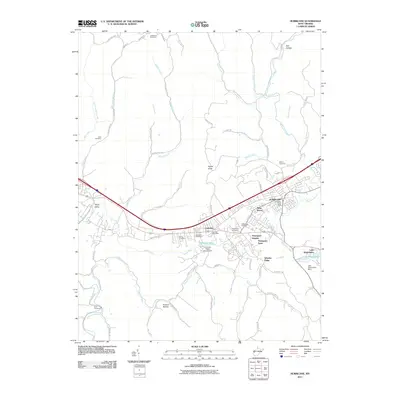 2011 Hurricane2011 Print · USGSHurricane and the Teays Valley corridor are shown here in the early twenty-first century as suburban growth spreads along the historic turnpike. Genealogists can trace family plots at Lundsford Cemetery or Zoar Cemetery, while geographic landmarks like Signal Knob and Lake Washington define the local topography.
 - 2011 Map of Robertsburg, 2011 Print
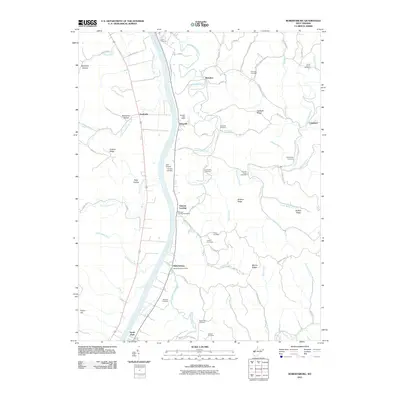 2011 Robertsburg2011 Print · USGSThe Kanawha River valley in the early twenty-first century remains defined by its riverside settlements and small post offices. Genealogists and local historians can trace family locations through numerous sites like Grimms Landing, Arbuckle, and the Promise Land Cemetery.
 - 2011 Map of Cheshire, 2011 Print
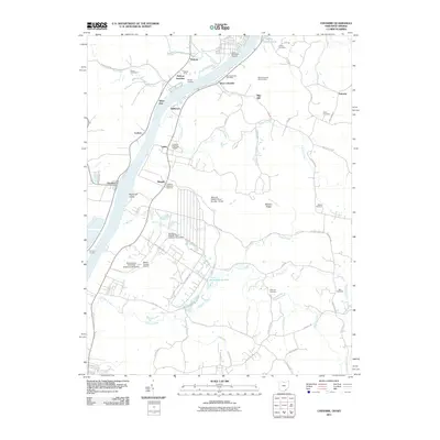 2011 Cheshire2011 Print · USGSThe Ohio River valley at the West Virginia border features a landscape of rail yards and river landings. Genealogists can trace family history through sites like the West Columbia Hill Cemetery, Hobson Yards, and the Zuspan Cemetery tucked along Tenmile Creek.
 - 2011 Map of Beech Hill, 2011 Print
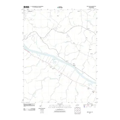 2011 Beech Hill2011 Print · USGSThe Kanawha River valley in Mason County appears here in the early 2000s, showing a landscape shaped by riverfront hamlets and upland ridges. Genealogists can locate several family-named burial sites, including McCulloch Cemetery, Henderson Cemetery, and Lutton Cemetery.
 - 2011 Map of Cottageville, 2011 Print
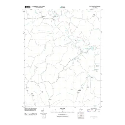 2011 Cottageville2011 Print · USGSJackson County settlement and family genealogy are well-documented in this early twenty-first-century survey of the Mill Creek watershed. Researchers can trace ancestral roots through more than a dozen local sites, including Blaine Memorial Cemetery, Salem Cemetery, and King Cemetery.
 - 2011 Map of Elmwood, 2011 Print
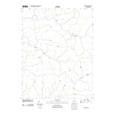 2011 Elmwood2011 Print · USGSMason County’s ridge-and-hollow landscape is captured here in the early 21st century, showing a region defined by its narrow valley settlements. Genealogists can locate family landmarks like Sayre Cemetery, Warner Cemetery, and the Rockcastle Church.
 - 2011 Map of Mount Olive, 2011 Print
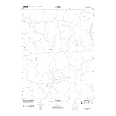 2011 Mount Olive2011 Print · USGSMason County’s ridge-and-hollow topography is meticulously detailed here in the years following the turn of the millennium. Genealogists and local historians can locate several family landmarks including Meadows Cemetery, Staten Chapel, and the settlement of Upland.
 - 2011 Map of Addison, 2011 Print
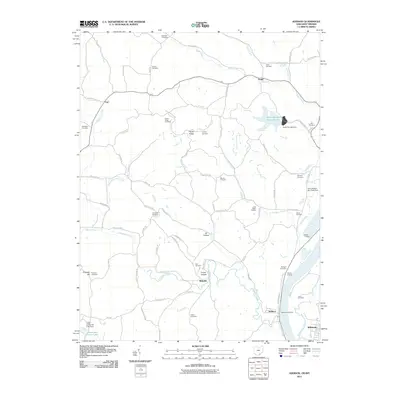 2011 Addison2011 Print · USGSThe Ohio River borderlands near the West Virginia-Ohio line appear here in the early twenty-first century as a mix of river-fed industry and deep-rooted rural life. Genealogists and local historians can trace family burial grounds like Van Zant Cemetery and McCarty Cemetery, or locate old landmarks like the Little Kyger Grange.
 - 2011 Map of New Haven, 2011 Print
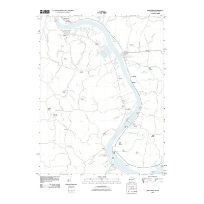 2011 New Haven2011 Print · USGSLife along the riverfront in Mason County comes into focus in this modern survey of the river-bend valley. Researchers can trace family history through numerous burial grounds like Union Cemetery and Yonker Cemetery or locate historic river access points such as Widow Parr Landing.
 - 2011 Map of Mount Alto, 2011 Print
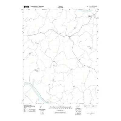 2011 Mount Alto2011 Print · USGSWest Virginia's river valleys and ridgelines are mapped in detail here during the early 2000s. Genealogists and local historians can trace numerous family-named sites, from Sayre Cemetery and Jenkins Cemetery to the landing at Rollins and the Mount Zion Church.
 - 2011 Map of Chester, 2011 Print
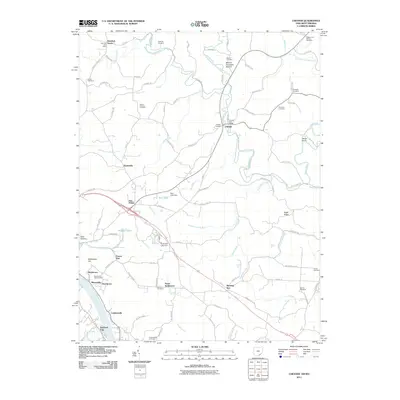 2011 Chester2011 Print · USGSMeigs County at the start of the 2010s shows a landscape of river-valley settlements and upland ridge roads. Researchers can trace family sites from Nease Settlement to Minersville and locate numerous burial grounds like Mound Cemetery and Sutton Cemetery.
 - 2011 Map of Glenwood, 2011 Print
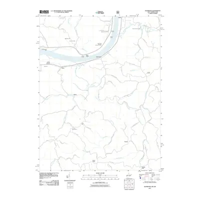 2011 Glenwood2011 Print · USGSThe Ohio River valley near the West Virginia and Ohio border is shown in this early twenty-first century survey. Genealogists and local historians can trace family locations through several community burial grounds like Mount Zion Cemetery and historic river access points such as Hannon Landing.
 - 2011 Map of Apple Grove, 2011 Print
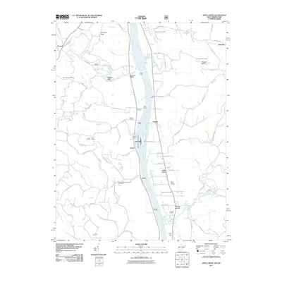 2011 Apple Grove2011 Print · USGSThe Ohio River corridor comes alive in the early twenty-first century, showing the vital infrastructure of the Gallipolis Lock and Dam. Genealogists and historians can trace family roots at Bethel Methodist Episcopal Cemetery, Mercers Bottom, and Raccoon Island.
 - 2011 Map of Gallipolis, 2011 Print
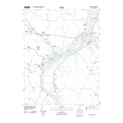 2011 Gallipolis2011 Print · USGSThe riverfront communities of the Ohio and Kanawha valleys are captured here in the early 2000s as they expanded into the surrounding hills. Researchers can trace family sites at Mound Hill Cemetery or locate historic river access points like Walkers Landing and the Gallipolis Ferry Post Office.
 - 2011 Map of Pomeroy, 2011 Print
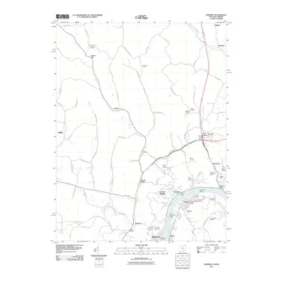 2011 Pomeroy2011 Print · USGSMeigs County at the turn of the decade shows a landscape where the Ohio River drives the local economy. Genealogists and historians can trace family roots through several rural sites like Hiland Cemetery or the Meigs County Fairgrounds.
 - 2013 Map of Pomeroy, 2013 Print
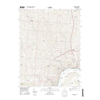 2013 Pomeroy2013 Print · USGSThe riverfront communities along the Ohio River are shown in high detail at the start of the twenty-first century. Genealogists and historians can trace family locations through numerous sites like Sacred Heart Cem, Middleport, and Hartford City.
 - 2013 Map of Addison, 2013 Print
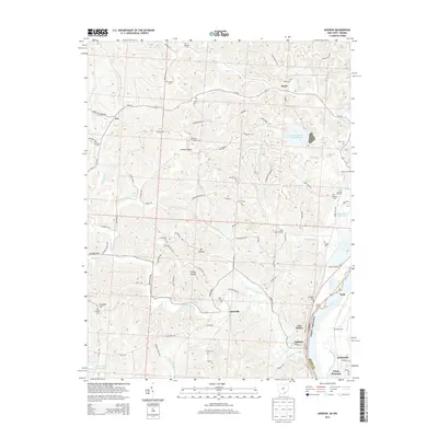 2013 Addison2013 Print · USGSThe Ohio River valley and its surrounding ridges come into focus here during the early twenty-first century. Genealogists and local historians can trace family roots through numerous landmarks, from Kyger Grange to many small burial grounds like McCarty Cem and Roush Cem.
 - 2013 Map of Gallipolis, 2013 Print
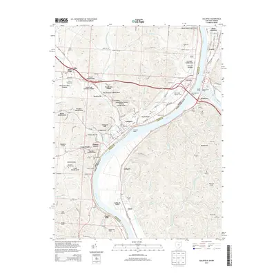 2013 Gallipolis2013 Print · USGSThe confluence of the Ohio and Kanawha rivers defined this valley long before these modern subdivisions took root. Genealogists and historians can trace family plots at Mound Hill Cem or locate the site of the Kanauga Drive-In and Gallipolis.
 - 2013 Map of Cheshire, 2013 Print
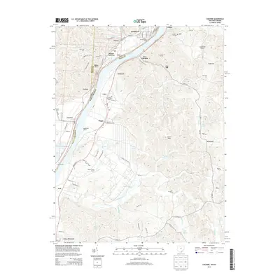 2013 Cheshire2013 Print · USGSThe Ohio River corridor comes into sharp focus during the early twenty-first century, showing the industrial pulse of riverfront towns from Middleport to Cheshire. Researchers can trace old family sites at Old Clifton Cem or the rail operations at Hobson Yards.
 - 2013 Map of Chester, 2013 Print
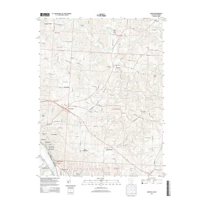 2013 Chester2013 Print · USGSThe Ohio River valley in Meigs County was a bustling corridor of mining and river trade at the turn of the millennium. Genealogists and local historians can trace family roots through numerous burial sites like Mound Cem and Minersville Hill Cem or explore the riverfront settlements of Syracuse and Minersville.
 - 2014 Map of Elmwood, 2014 Print
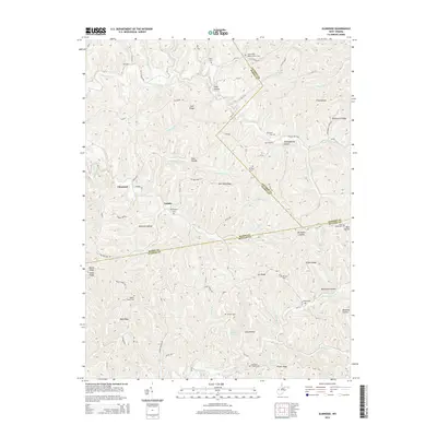 2014 Elmwood2014 Print · USGSMason County’s high ridges and hollows are documented here during the early twenty-first century, showing the rural communities of Tribble and Elmwood. Genealogists can trace family footprints across numerous sites like Mt Prospect Cem, Martin Cem, and the Barnette Chapel.
 - 2014 Map of Robertsburg, 2014 Print
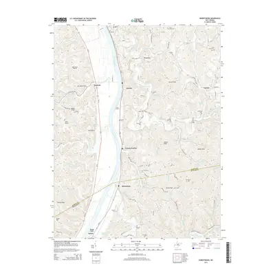 2014 Robertsburg2014 Print · USGSThe Kanawha River valley in Mason and Putnam Counties is shown here in the early twenty-first century, highlighting riverfront hamlets and upland ridges. Researchers can locate numerous local burial sites like Arbuckle Cem and landmarks such as the Nat Truss Bridge and Leon Airport.
 - 2014 Map of Mount Alto, 2014 Print
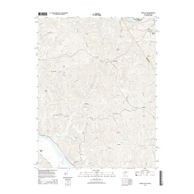 2014 Mount Alto2014 Print · USGSThe Mason and Jackson County borderlands are shown here in the early twenty-first century, centered on the ridges between the Ohio and Kanawha Rivers. Genealogists can trace family names through numerous sites like Sayre Cem, Yauger Church Cem, and the community of Rollins.
 - 2014 Map of Arlee, 2014 Print
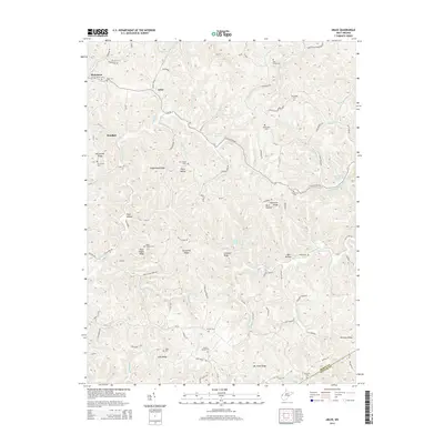 2014 Arlee2014 Print · USGSThe borderlands of Mason and Putnam County are shown here in the early twenty-first century, featuring a landscape of deep hollows and high ridges. Family historians can trace local heritage through numerous burial sites like Potts Chapel Cem and Zion Cem near the settlements of Arlee and Pondlick.
Showing maps 1-25 of 64
Top cities of Mason County
- Point Pleasant historical maps
- New Haven historical maps
- Mason historical maps
- Hartford City historical maps
- Henderson historical maps
- Leon historical maps
Frequently asked questions
- What are the different types of historical maps available for Mason County?
- What is the oldest map of Mason County?
- Where can I purchase historical maps of Mason County for my home or office?
- Where can I download high-res historical maps of Mason County?
- Are there historical topographic maps available for Mason County?
- Is there historical aerial imagery available for Mason County?
- Where are historical maps of Mason County sourced from?