2020s Maps of Monroe County, West Virginia
Explore 17 historic maps of Monroe County from the 2020s. These maps offer a rare glimpse into what life looked like during the 2020s — showing old roads, neighborhoods, homes, and landmarks that have changed or disappeared over time.
Whether you're researching your family's past, planning a metal detecting trip, or studying how Monroe County's landscape evolved across the 2020s, these high-resolution maps are a powerful tool for exploring the history of this region.
- Focus on a specific era: All maps on this page are from the 2020s, giving you a focused view of this time period.
- See what’s changed: Compare century-old streets, trails, and buildings to today's modern landscape using overlays and satellite layers.
- Research with precision: Use these maps for genealogy, historical research, land use analysis, or educational projects.
- View, download, or print: Maps are fully viewable online in high resolution, and can be downloaded or printed for your own records.
Start exploring Monroe County's history through authentic maps from the 2020s. This is your window into the past.
Monroe County, WV maps
(17)- 2022 Map of Alleghany, 2022 Print
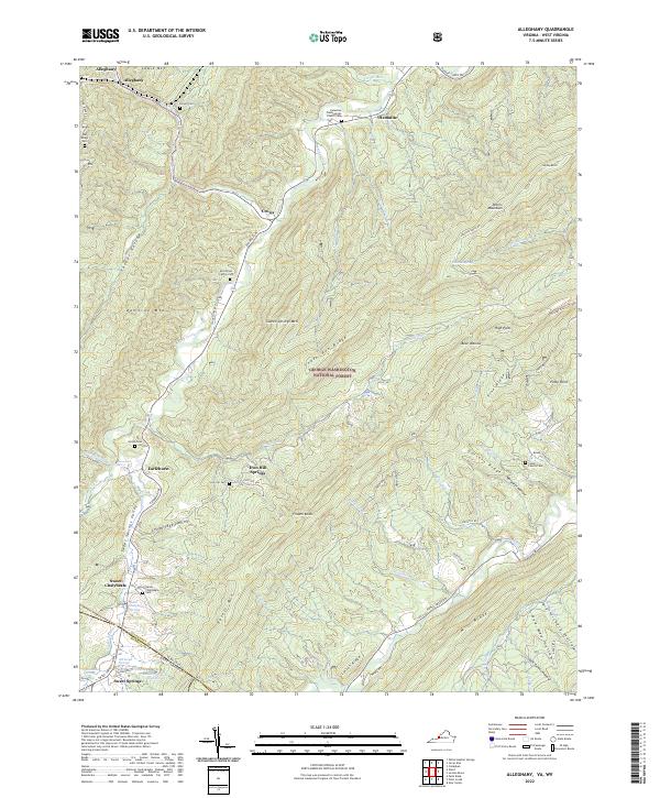 2022 Alleghany2022 Print · USGSThe Virginia and West Virginia borderlands are shown here in the early 2020s, highlighting the historic thermal spring resorts. Genealogists can trace family roots at the Stone Family Cem, Hylton Cem, and the sites of Old Sweet Springs.
 - 2022 Map of Potts Creek, 2022 Print
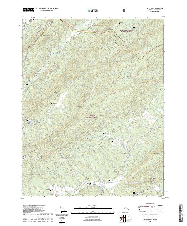 2022 Potts Creek2022 Print · USGSThe Virginia and West Virginia borderlands are shown here in modern detail, where the steep ridges of the George Washington and Jefferson National Forests meet. Genealogists can trace numerous ancestral sites including the McCormick Family Cem, Paxton Cem, and Oak Grove Cem.
 - 2022 Map of Interior, 2022 Print
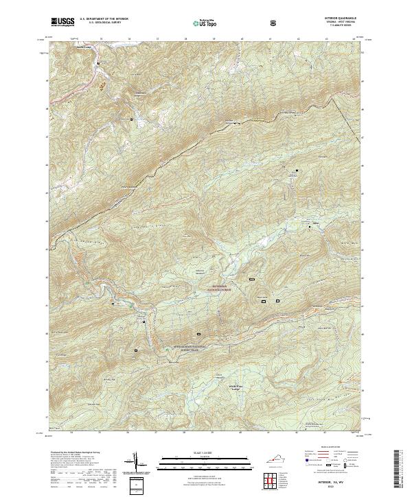 2022 Interior2022 Print · USGSThe West Virginia and Virginia border comes alive in this contemporary topographical view of the Appalachian ridges. Genealogists and hikers can trace the Appalachian National Scenic Trail past several family burial grounds like the Kessinger Family Cem and Harvey Cem.
 - 2022 Map of Craig Springs, 2022 Print
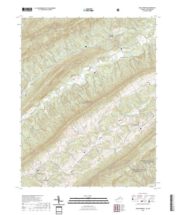 2022 Craig Springs2022 Print · USGSThe mountains of Craig County, Virginia, are captured here in the early twenty-first century, showing the ridges and gaps where families have lived for generations. Researchers can trace land ties at the Huffman Cem, Craig Springs, and the Appalachian National Scenic Trl.
 - 2022 Map of Paint Bank, 2022 Print
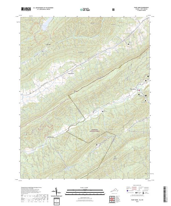 2022 Paint Bank2022 Print · USGSThe Virginia and West Virginia borderlands are revealed in this recent survey of the ridges and valleys near the Jefferson National Forest. Genealogists can locate several family landmarks, including the Rowan Family Cem, Bostic Cem, and the settlement of Paint Bank.
 - 2022 Map of Narrows, 2022 Print
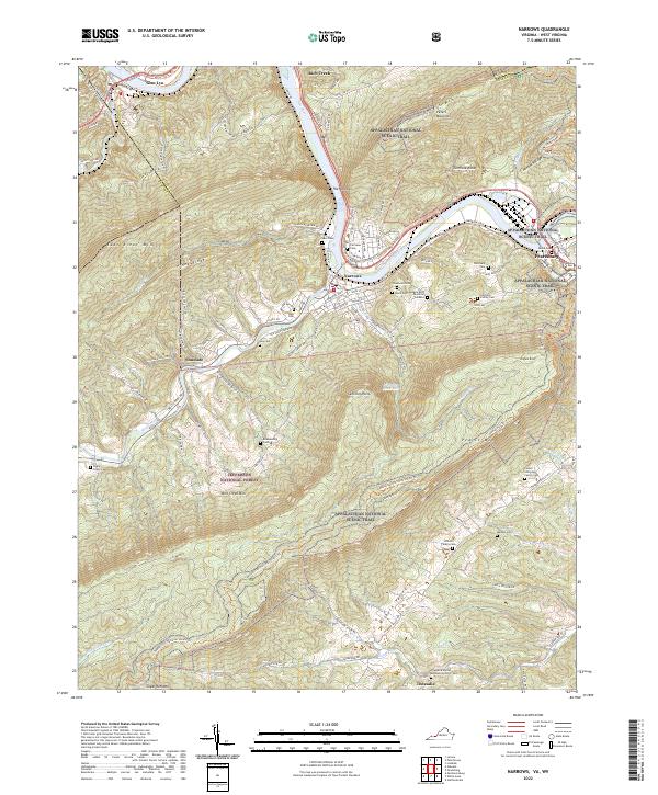 2022 Narrows2022 Print · USGSGiles County, Virginia, is shown in the early 2020s as the New River cuts between massive ridgelines. Genealogists and hikers can trace the Appalachian National Scenic Trail past remote family plots like Woolwine Cem and Fletcher's Cem.
 - 2023 Map of Fort Spring, 2023 Print
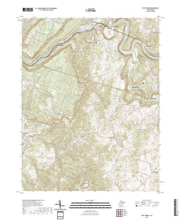 2023 Fort Spring2023 Print · USGSThe Greenbrier River valley and Monroe County uplands are documented here in recent years, showing a landscape of traditional farming and river crossings. Researchers can locate the Stephens Ferry site, Nickells Mill, and the historic Lincoln Cem.
 - 2023 Map of Forest Hill, 2023 Print
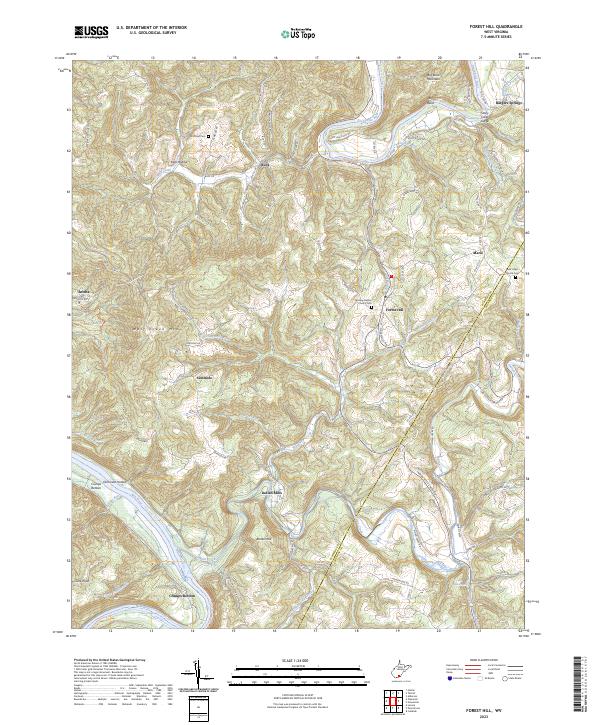 2023 Forest Hill2023 Print · USGSThe river valleys and ridgelines of Summers County are documented here as they appeared in the early twenty-first century. Researchers can trace ancestral locations near Indian Mills, Crumps Bottom, and the historic Red Sulphur Spring.
 - 2023 Map of Union, 2023 Print
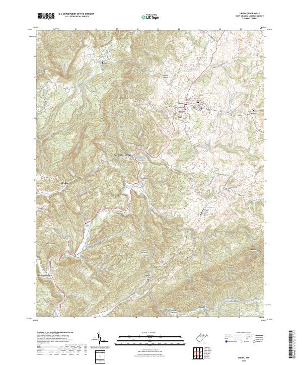 2023 Union2023 Print · USGSMonroe County, West Virginia, is shown here as a landscape of valley settlements and ridges during the early 2020s. Genealogists and historians can locate numerous family burial grounds like Old Rehobeth Cem and historic springs at Salt Sulphur Springs.
 - 2023 Map of Alderson, 2023 Print
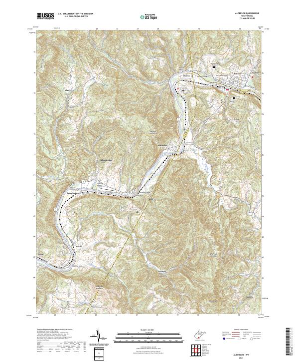 2023 Alderson2023 Print · USGSThe Greenbrier River valley comes into focus in this recent survey of the borderlands between Greenbrier, Monroe, and Summers counties. Researchers can trace ancestral sites at Old Greenbrier Baptist Church Cem and locate river landmarks like Haynes Ferry and Johnson Island.
 - 2023 Map of Gap Mills, 2023 Print
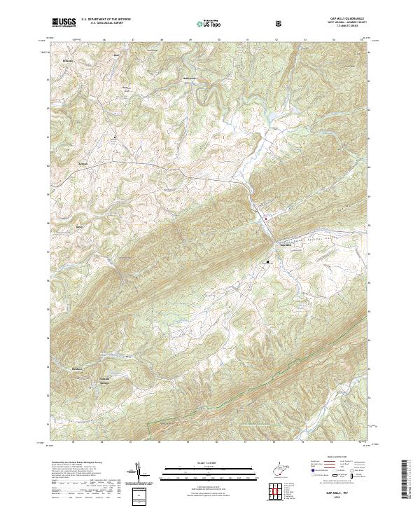 2023 Gap Mills2023 Print · USGSMonroe County as it appeared in recent years preserves a deep agricultural and mountain heritage along the Peters Mountain ridge. Researchers can trace family roots at Fairview Cem or locate the springs that gave rise to Gap Mills and Crimson Springs.
 - 2023 Map of Lindside, 2023 Print
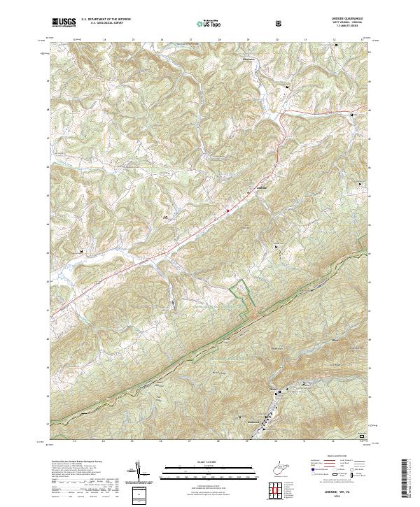 2023 Lindside2023 Print · USGSMonroe County, West Virginia, and the Virginia borderlands are shown here in this recent survey of the Peters Mountain gap. Genealogists can locate family burial sites like Broyles Cem and Olean Brethren Cem or trace the early industrial footprint of Wilsons Mill.
 - 2023 Map of Ronceverte, 2023 Print
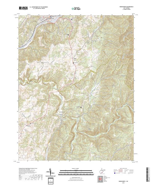 2023 Ronceverte2023 Print · USGSGreenbrier and Monroe counties meet in this modern survey of a storied mountain corridor. Researchers can trace the rural legacy of the Seneca Trl through Organ Cave and Secondcreek, locating sites like Elizabeth Chapel Cem and Morgan Cem.
 - 2023 Map of Peterstown, 2023 Print
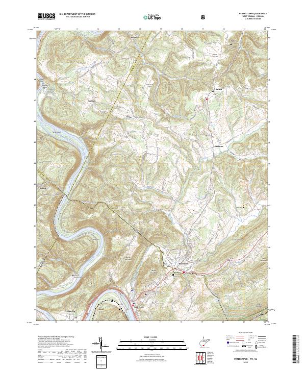 2023 Peterstown2023 Print · USGSThe West Virginia-Virginia borderlands near Peterstown are mapped here in the early twenty-first century, showing the enduring rural character of the New River valley. Genealogists can trace family heritage through sites like Shumate Cem and Shanklins Ferry.
 - 2023 Map of Waiteville, 2023 Print
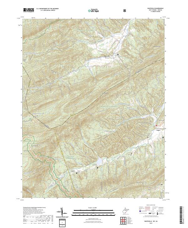 2023 Waiteville2023 Print · USGSThe Monroe County highlands are captured here during the 2020s, showing a landscape defined by the Jefferson National Forest and the Appalachian Trail. Family historians can locate several burial grounds, such as New Zion Cem, Bell Family Cem, and the settlement of Waiteville.
 - 2023 Map of Greenville, 2023 Print
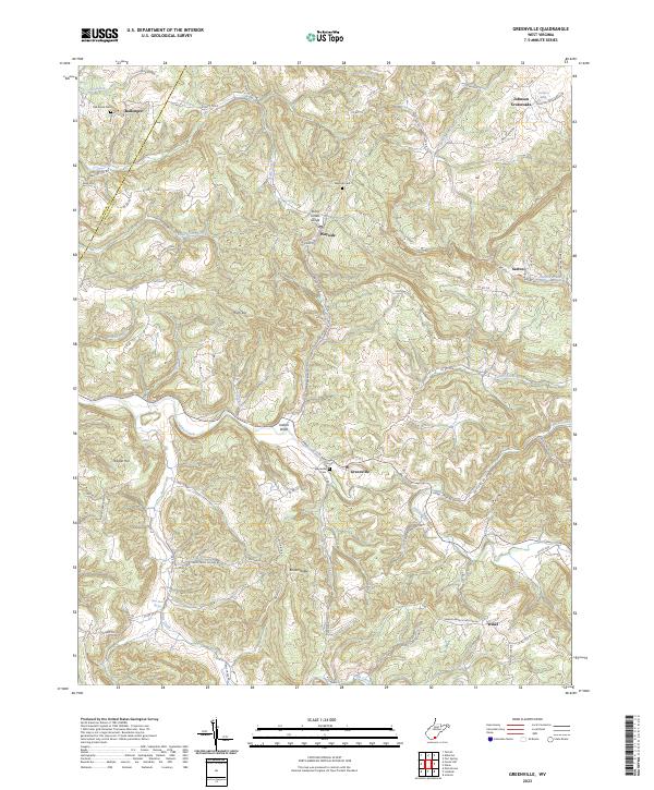 2023 Greenville2023 Print · USGSMonroe and Summers Counties are captured in this contemporary survey of West Virginia's mountain terrain. Researchers can trace rural lineages through local landmarks like Greenville Cemetery, the Stony Creek Gorge, and the remote settlement at Ellison Ridge.
 - 2023 Map of Glace, 2023 Print
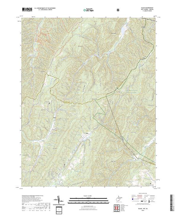 2023 Glace2023 Print · USGSThe West Virginia and Virginia borderlands come to life in this contemporary survey of the Greenbrier and Monroe County high country. Genealogists and hikers can trace the paths around Glace, find the secluded Wylie Chapel Cem, and explore the slopes of Kates Mtn.
End of results
Showing maps 1-17 of 17
Top cities of Monroe County
Frequently asked questions
- What are the different types of historical maps available for Monroe County?
- What is the oldest map of Monroe County?
- Where can I purchase historical maps of Monroe County for my home or office?
- Where can I download high-res historical maps of Monroe County?
- Are there historical topographic maps available for Monroe County?
- Is there historical aerial imagery available for Monroe County?
- Where are historical maps of Monroe County sourced from?