2000s (21st Century) Maps of Monroe County, West Virginia
Explore 85 historic maps of Monroe County from the 2000s (21st Century). These maps offer a rare glimpse into what life looked like during the 2000s — showing old roads, neighborhoods, homes, and landmarks that have changed or disappeared over time.
Whether you're researching your family's past, planning a metal detecting trip, or studying how Monroe County's landscape evolved across the 2000s, these high-resolution maps are a powerful tool for exploring the history of this region.
- Focus on a specific era: All maps on this page are from the 2000s, giving you a focused view of this time period.
- See what’s changed: Compare century-old streets, trails, and buildings to today's modern landscape using overlays and satellite layers.
- Research with precision: Use these maps for genealogy, historical research, land use analysis, or educational projects.
- View, download, or print: Maps are fully viewable online in high resolution, and can be downloaded or printed for your own records.
Start exploring Monroe County's history through authentic maps from the 2000s. This is your window into the past.
Monroe County, WV maps
(85)- 2011 Map of Forest Hill, 2011 Print
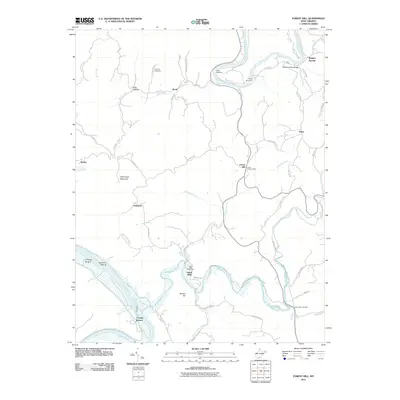 2011 Forest Hill2011 Print · USGSSummers County's river-cut valleys and upland ridges are captured here during the early twenty-first century. Researchers can trace family sites near Indian Mills, Forest Hill, and the Huffman Cemetery, or locate historic river camps like Camp Lightfoot.
 - 2011 Map of Greenville, 2011 Print
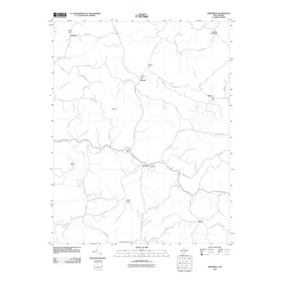 2011 Greenville2011 Print · USGSMonroe County was characterized by its network of high ridges and post-office settlements in the early twenty-first century. Researchers can trace the rural communities of Greenville, Wayside, and Sarton, or locate family sites like the Wayside Cemetery.
 - 2011 Map of Fort Spring, 2011 Print
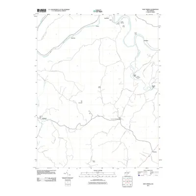 2011 Fort Spring2011 Print · USGSGreenbrier County, West Virginia, is shown here in the early twenty-first century, centered on the river-and-rail hub of Fort Spring. Local historians can trace the paths of industry and mail service through landmarks like the Hokes Mill Covered Bridge, Nickells Mill, and several rural post offices.
 - 2011 Map of Union, 2011 Print
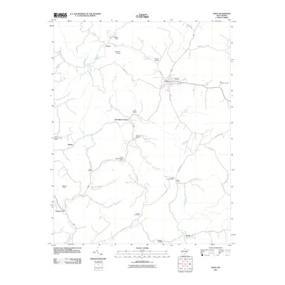 2011 Union2011 Print · USGSMonroe County at the start of the 2010s remains a landscape of rolling hollows and creek crossings. Genealogists and historians can trace family locations at Old Rehobeth Cemetery, locate the Willow Bend Post Office, or find the Indian Creek Covered Bridge.
 - 2011 Map of Interior, 2011 Print
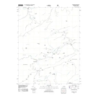 2011 Interior2011 Print · USGSThe West Virginia and Virginia borderlands come into focus in the early 2000s as a haven for hikers and conservationists. You can trace the Appalachian Trl past Wind Rock or locate ancestral family plots at Ballard-Harvey Cemetery and Fortner Cemetery.
 - 2011 Map of Ronceverte, 2011 Print
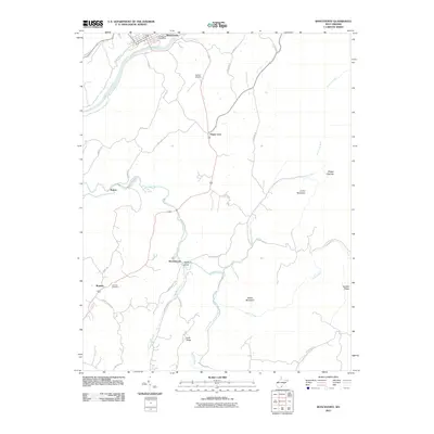 2011 Ronceverte2011 Print · USGSRonceverte and the southern Greenbrier County highlands are captured here in the early twenty-first century. Genealogists and local historians can trace family land near Organ Cave, Patton, and the Lebanon Cemetery along Second Creek.
 - 2011 Map of Potts Creek, 2011 Print
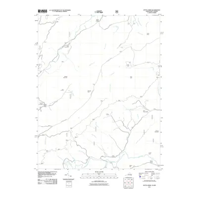 2011 Potts Creek2011 Print · USGSThe valleys of Alleghany County are captured here just after the turn of the millennium, showing a landscape defined by the Jefferson Nat'l Forest. Researchers can locate family landmarks like Paxton Cemetery, Ruble Cemetery, and the Paint Bank National Fish Hatchery.
 - 2011 Map of Craig Springs, 2011 Print
 2011 Craig Springs2011 Print · USGSThe mountain valleys of the Virginia-West Virginia border are captured here in the early twenty-first century as agricultural traditions persist. Genealogists can trace the rural communities of Simmonsville and Gravel Hill, or locate the County Farm Cemetery and Valley Mill.
 - 2011 Map of Gap Mills, 2011 Print
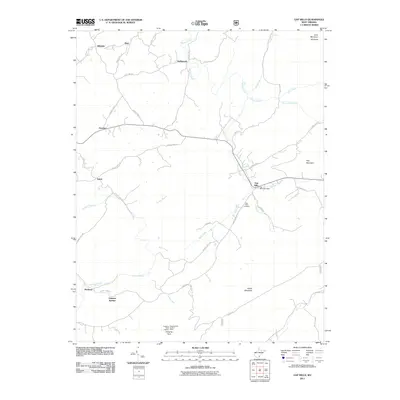 2011 Gap Mills2011 Print · USGSMonroe County's rural ridges and valleys are captured here at the start of the 2010s, centered on the community of Gap Mills. Genealogists and local historians can locate the Gap Mills Cemetery, the Hanging Rock Lookout Tower, and small settlements like Crimson Springs and Hollywood.
 - 2011 Map of Lindside, 2011 Print
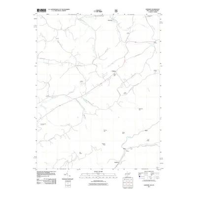 2011 Lindside2011 Print · USGSMonroe County at the turn of the decade reveals a landscape of high ridges and family-centered rural communities. Genealogists can trace family heritage through local landmarks like Broyles Cemetery, the Lindside Post Office, and Swope Cemetery.
 - 2011 Map of Glace, 2011 Print
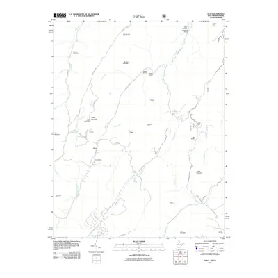 2011 Glace2011 Print · USGSMonroe County and the surrounding Allegheny ridges are captured here in the early twenty-first century. Genealogists and local historians can locate the Glace Post Office, the Dowdy Cemetery, and landmarks like the Brushy Mountain Lookout Tower.
 - 2011 Map of Peterstown, 2011 Print
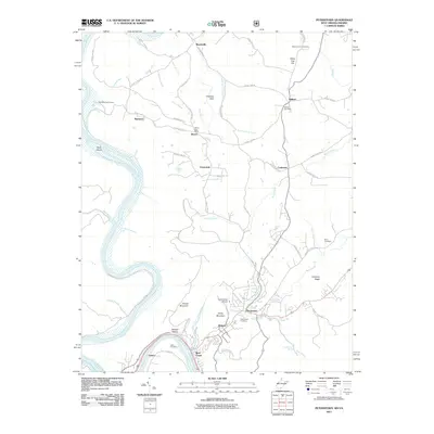 2011 Peterstown2011 Print · USGSThe Virginia and West Virginia borderlands are documented here in the early twenty-first century as the New River winds past Lurich and Rich Creek. Researchers can trace local genealogy and land use through sites like the Bozoo Post Office, Mount Carman Cemetery, and Shanklins Ferry Camp.
 - 2011 Map of Alderson, 2011 Print
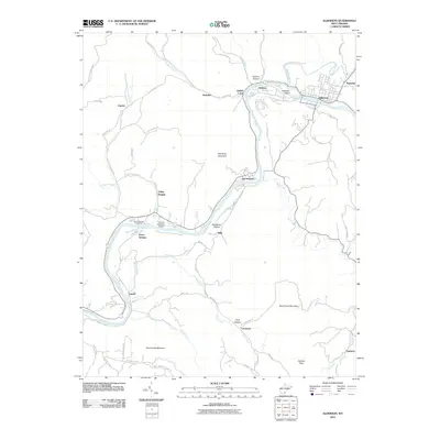 2011 Alderson2011 Print · USGSIn the Greenbrier Valley during the early twenty-first century, the river remains the lifeblood of communities like Alderson and Pence Springs. Genealogists and hikers can trace local routes through Lowell and Valley Heights, or find landmarks like the Hinton-Alderson Airport.
 - 2011 Map of Waiteville, 2011 Print
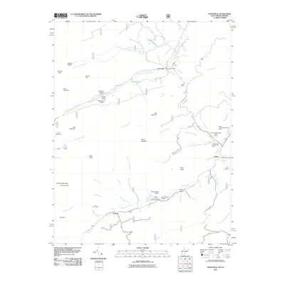 2011 Waiteville2011 Print · USGSThe West Virginia and Virginia borderlands come into focus in the early twenty-first century, showing a landscape of high ridges and narrow creek valleys. Genealogists and hikers can trace sites like the New Zion Cemetery, the Waiteville Post Office, and the War Spur Shelter.
 - 2011 Map of Paint Bank, 2011 Print
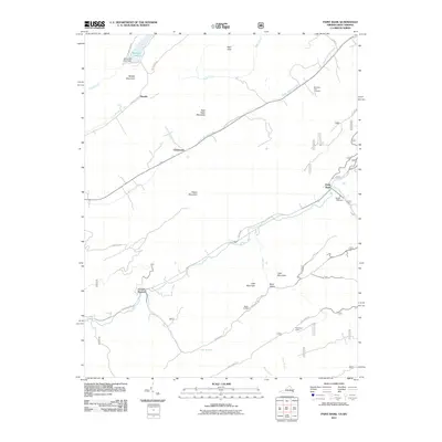 2011 Paint Bank2011 Print · USGSMonroe County and the Virginia borderlands are captured here in the early twenty-first century, showing a landscape of high ridges and valley settlements. Genealogists can locate family sites at Mountain View Cemetery and trace the rural reaches of Paint Bank and Centennial.
 - 2011 Map of Alleghany, 2011 Print
 2011 Alleghany2011 Print · USGSThe borderlands of Monroe County and the Alleghany region are captured here in the early twenty-first century, centered on the historic mineral water sites. Researchers can locate legacy sites like Old Sweet Springs, Sweet Chalybeate, and the Lewis Tunnel Cemetery.
 - 2011 Map of Narrows, 2011 Print
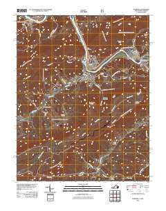 2011 Narrows2011 Print · USGSGiles County, Virginia, and the West Virginia borderlands are revealed in this modern survey of the New River valley. Researchers can trace family history through numerous small burial grounds like Day Cemetery and Blankenship Cemetery, or follow the Appalachian Trl past Angels Rest.
 - 2013 Map of Craig Springs, 2013 Print
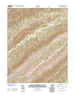 2013 Craig Springs2013 Print · USGSThe Virginia and West Virginia borderlands are documented here in the early twenty-first century, showing a landscape of high ridges and narrow creek valleys. Genealogists and hikers can trace old routes near Craig Springs, Simmonsville, and the landmark Blue Healing Springs.
 - 2013 Map of Potts Creek, 2013 Print
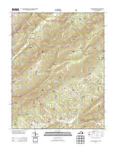 2013 Potts Creek2013 Print · USGSThe Virginia and West Virginia borderlands appear in great detail during the early 2010s, showing a landscape defined by steep ridges and narrow valleys. Researchers can trace the geography of Potts Creek, locate the Paint Bank National Fish Hatchery, and find landmarks like Lovers Leap or Potts Cove.
 - 2013 Map of Alleghany, 2013 Print
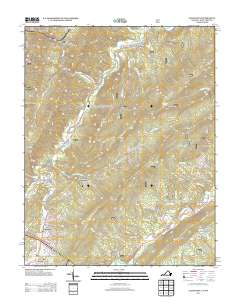 2013 Alleghany2013 Print · USGSThe mineral springs and mountain gaps of the Virginia-West Virginia border are detailed here as they appeared in the early 2010s. Researchers can locate long-standing communities like Sweet Springs and Earlehurst or trace the routes of Potts Creek and Lewis Tunnel.
 - 2013 Map of Narrows, 2013 Print
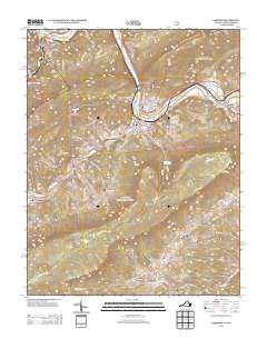 2013 Narrows2013 Print · USGSGiles County in the early 2010s shows the enduring settlements along the New River corridor as it cuts through the mountains. Researchers can trace family-named landmarks and local connections through Shumate, Thessalia, and the Appalachian Trail.
 - 2013 Map of Interior, 2013 Print
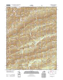 2013 Interior2013 Print · USGSThe Virginia and West Virginia borderlands appear in this early twenty-first-century survey, showcasing a landscape of high ridges and remote gaps. Outdoor historians and genealogists can trace the Appalachian Trail past White Pine Lodge and the Stony Creek Lookout Tower.
 - 2013 Map of Paint Bank, 2013 Print
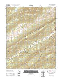 2013 Paint Bank2013 Print · USGSThe Virginia and West Virginia borderlands are captured here in the early twenty-first century, showing a landscape of high ridges and isolated valleys. Researchers can locate family-named landmarks like Charles Patton Spring and historic sites such as Sweet Springs Church and Pine Grove Church.
 - 2014 Map of Lindside, 2014 Print
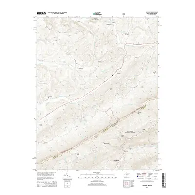 2014 Lindside2014 Print · USGSThe West Virginia and Virginia borderlands come into focus in the mid-2010s, centered on the Seneca Trail S and the slopes of Peters Mountain. Local historians can trace family burial sites like Lively Cemetery and Karnes Cemetery or explore the rugged topography of Symms Gap and Foster Knob.
 - 2014 Map of Waiteville, 2014 Print
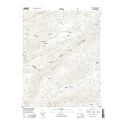 2014 Waiteville2014 Print · USGSThe high ridges of the Allegheny Mountains meet the Virginia state line in this 2010s survey of a rural highland landscape. Genealogists can locate family sites like New Zion Cem and Taylor Cem alongside settlements at Waiteville and Maggie.
Showing maps 1-25 of 85
Top cities of Monroe County
Frequently asked questions
- What are the different types of historical maps available for Monroe County?
- What is the oldest map of Monroe County?
- Where can I purchase historical maps of Monroe County for my home or office?
- Where can I download high-res historical maps of Monroe County?
- Are there historical topographic maps available for Monroe County?
- Is there historical aerial imagery available for Monroe County?
- Where are historical maps of Monroe County sourced from?