2000s (21st Century) Maps of Tyler County, West Virginia
Explore 63 historic maps of Tyler County from the 2000s (21st Century). These maps offer a rare glimpse into what life looked like during the 2000s — showing old roads, neighborhoods, homes, and landmarks that have changed or disappeared over time.
Whether you're researching your family's past, planning a metal detecting trip, or studying how Tyler County's landscape evolved across the 2000s, these high-resolution maps are a powerful tool for exploring the history of this region.
- Focus on a specific era: All maps on this page are from the 2000s, giving you a focused view of this time period.
- See what’s changed: Compare century-old streets, trails, and buildings to today's modern landscape using overlays and satellite layers.
- Research with precision: Use these maps for genealogy, historical research, land use analysis, or educational projects.
- View, download, or print: Maps are fully viewable online in high resolution, and can be downloaded or printed for your own records.
Start exploring Tyler County's history through authentic maps from the 2000s. This is your window into the past.
Tyler County, WV maps
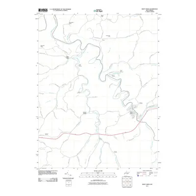
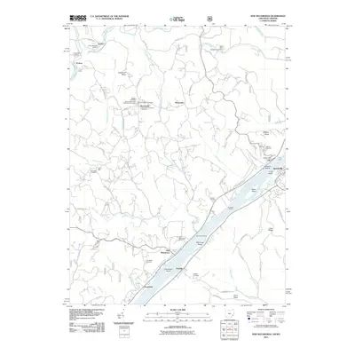
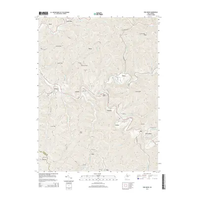
(63)- 2002 Map of New Matamoras, 2006 Print
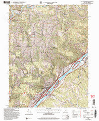 2002 New Matamoras2006 Print · USGSThe Ohio River valley at the turn of the new millennium shows a landscape defined by riverside settlements and deep forest ridges. Genealogists and hikers can locate sites like Salem Hall, Zion Ch, and the high ridges of the Wayne National Forest.
 - 2002 Map of Paden City, 2006 Print
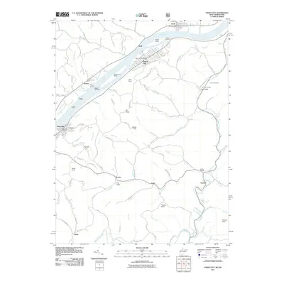
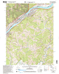 2002 Paden City2006 Print · USGSThe Ohio River valley and its surrounding ridges come into focus here at the start of the 2000s, showing the intersection of river-bound industry and deep-hollow settlements. Genealogists can trace family sites at Van Camp Cem, Locust Grove Ch, and the riverside town of Sistersville.
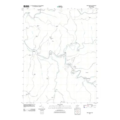
 - 2002 Map of Bens Run, 2006 Print
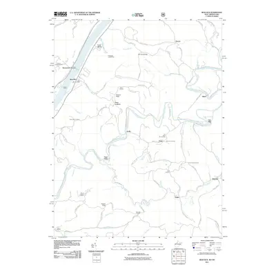
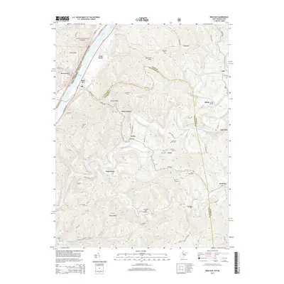
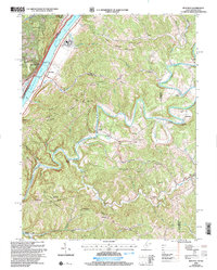 2002 Bens Run2006 Print · USGSThe Ohio River valley meets the winding Middle Island Creek in this early 2000s study of Pleasants and Tyler Counties. Researchers can locate family-named landmarks and rural hubs such as Arvilla, Oak Grove Ch, and the Salt Wells near Bens Run.
 - 2010 Map of Ellenboro, 2010 Print
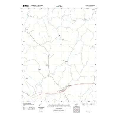 2010 Ellenboro2010 Print · USGSCovers Tyler County, including Pennsboro, Ellenboro, and other nearby areas
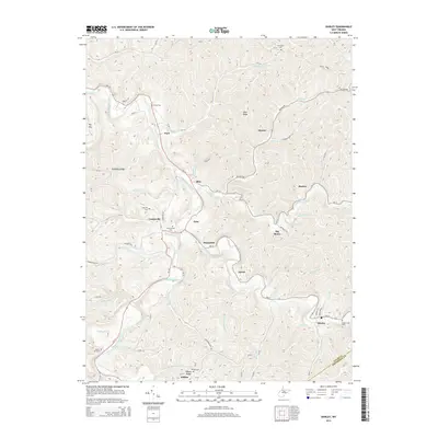
 - 2011 Map of Shirley, 2011 Print
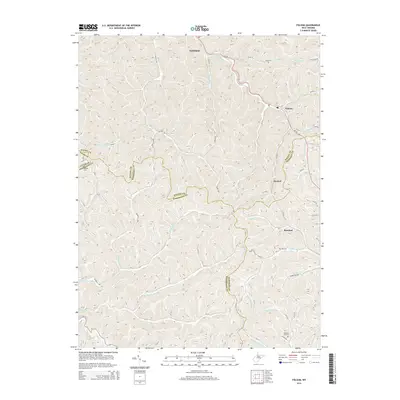
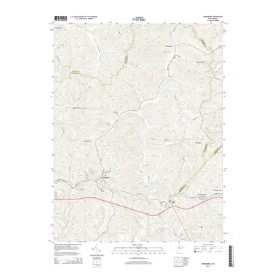
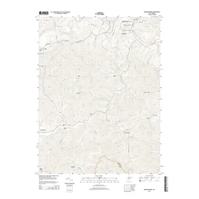
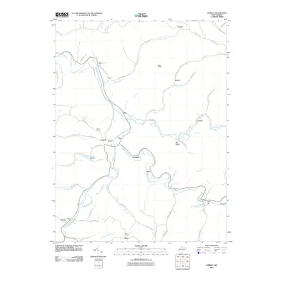 2011 Shirley2011 Print · USGSCovers Tyler County, including Frew, Tyler, and other nearby areas
 - 2011 Map of Porters Falls, 2011 Print
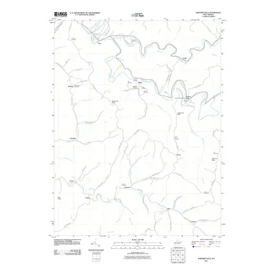 2011 Porters Falls2011 Print · USGSCovers Tyler County, including Iuka, Conaway, and other nearby areas
 - 2011 Map of Folsom, 2011 Print
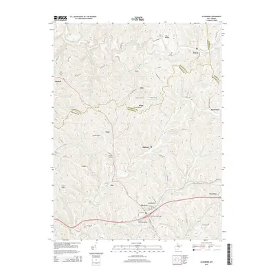
 2011 Folsom2011 Print · USGSCovers Tyler County, including Smithfield, Rinehart, and other nearby areas
 - 2011 Map of Pennsboro, 2011 Print
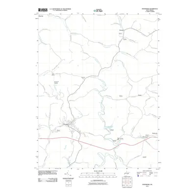 2011 Pennsboro2011 Print · USGSCovers Tyler County, including Pennsboro, Mountain, and other nearby areas
 - 2011 Map of West Union, 2011 Print
 2011 West Union2011 Print · USGSCovers Tyler County, including West Union, Deep Valley, and other nearby areas
 - 2011 Map of Pine Grove, 2011 Print
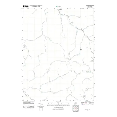
 2011 Pine Grove2011 Print · USGSCovers Tyler County, including Pine Grove, Reader, and other nearby areas
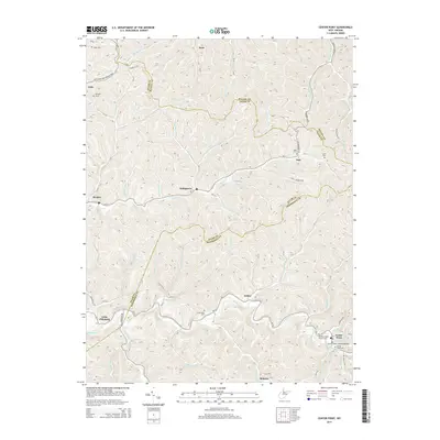
 - 2011 Map of Center Point, 2011 Print
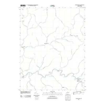 2011 Center Point2011 Print · USGSCovers Tyler County, including Roberts, Braden, and other nearby areas
 - 2011 Map of Middlebourne, 2011 Print
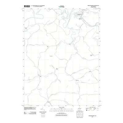 2011 Middlebourne2011 Print · USGSCovers Tyler County, including Middlebourne, Locke, and other nearby areas
 - 2011 Map of New Matamoras, 2011 Print
 2011 New Matamoras2011 Print · USGSCovers Tyler County, including Grandview, Sistersville, and other nearby areas
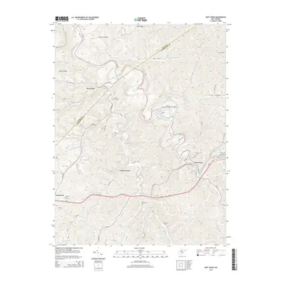
 - 2011 Map of Bens Run, 2011 Print
 2011 Bens Run2011 Print · USGSCovers Tyler County, including Point Lookout, Arvilla, and other nearby areas
 - 2011 Map of Paden City, 2011 Print
 2011 Paden City2011 Print · USGSCovers Tyler County, including Sistersville, Middlebourne, and other nearby areas
 - 2013 Map of New Matamoras, 2013 Print
 2013 New Matamoras2013 Print · USGSCovers Tyler County, including Grandview, Sistersville, and other nearby areas
 - 2014 Map of Pine Grove, 2014 Print
 2014 Pine Grove2014 Print · USGSCovers Tyler County, including Pine Grove, Reader, and other nearby areas
 - 2014 Map of Shirley, 2014 Print
 2014 Shirley2014 Print · USGSCovers Tyler County, including Frew, Tyler, and other nearby areas
 - 2014 Map of Center Point, 2014 Print
 2014 Center Point2014 Print · USGSCovers Tyler County, including Roberts, Braden, and other nearby areas
 - 2014 Map of West Union, 2014 Print
 2014 West Union2014 Print · USGSCovers Tyler County, including West Union, Deep Valley, and other nearby areas
 - 2014 Map of Folsom, 2014 Print
 2014 Folsom2014 Print · USGSCovers Tyler County, including Smithfield, Rinehart, and other nearby areas
 - 2014 Map of Ellenboro, 2014 Print
 2014 Ellenboro2014 Print · USGSCovers Tyler County, including Pennsboro, Ellenboro, and other nearby areas
 - 2014 Map of Bens Run, 2014 Print
 2014 Bens Run2014 Print · USGSCovers Tyler County, including Point Lookout, Arvilla, and other nearby areas
 - 2014 Map of Pennsboro, 2014 Print
 2014 Pennsboro2014 Print · USGSCovers Tyler County, including Pennsboro, Mountain, and other nearby areas
 - 2014 Map of Middlebourne, 2014 Print
 2014 Middlebourne2014 Print · USGSCovers Tyler County, including Middlebourne, Locke, and other nearby areas
Showing maps 1-25 of 63
Top cities of Tyler County
Frequently asked questions
- What are the different types of historical maps available for Tyler County?
- What is the oldest map of Tyler County?
- Where can I purchase historical maps of Tyler County for my home or office?
- Where can I download high-res historical maps of Tyler County?
- Are there historical topographic maps available for Tyler County?
- Is there historical aerial imagery available for Tyler County?
- Where are historical maps of Tyler County sourced from?