2010s Maps of Tyler County, West Virginia
Explore 48 historic maps of Tyler County from the 2010s. These maps offer a rare glimpse into what life looked like during the 2010s — showing old roads, neighborhoods, homes, and landmarks that have changed or disappeared over time.
Whether you're researching your family's past, planning a metal detecting trip, or studying how Tyler County's landscape evolved across the 2010s, these high-resolution maps are a powerful tool for exploring the history of this region.
- Focus on a specific era: All maps on this page are from the 2010s, giving you a focused view of this time period.
- See what’s changed: Compare century-old streets, trails, and buildings to today's modern landscape using overlays and satellite layers.
- Research with precision: Use these maps for genealogy, historical research, land use analysis, or educational projects.
- View, download, or print: Maps are fully viewable online in high resolution, and can be downloaded or printed for your own records.
Start exploring Tyler County's history through authentic maps from the 2010s. This is your window into the past.
Tyler County, WV maps
(48)- 2010 Map of Ellenboro, 2010 Print
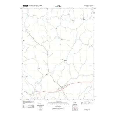 2010 Ellenboro2010 Print · USGSWest Virginia's Ritchie County hills appear in detail during the early 2000s, showing a landscape defined by ridge-and-valley settlements. Genealogists can trace local roots through the Fairmont Cemetery and small communities like Adlai, Finch, and Lamberton.
 - 2011 Map of Shirley, 2011 Print
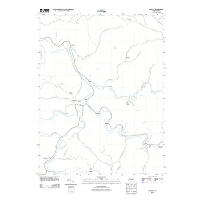 2011 Shirley2011 Print · USGSIn the early twenty-first century, this pocket of Tyler County remains a landscape of traditional Appalachian crossroads and winding creek-side settlements. Genealogists and local historians can trace family locations near Underwood Cemetery, Beechwood Cemetery, and the Shirley Post Office.
 - 2011 Map of Porters Falls, 2011 Print
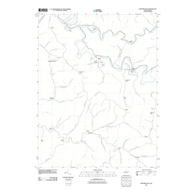 2011 Porters Falls2011 Print · USGSWest Virginia's Tyler County hills are captured here in the early twenty-first century, showing a landscape defined by deep runs and ancestral family cemeteries. Genealogists can trace sites like Mount Hope Cemetery and Simpson Cemetery near settlements like Porters Falls and Lonetree.
 - 2011 Map of Folsom, 2011 Print
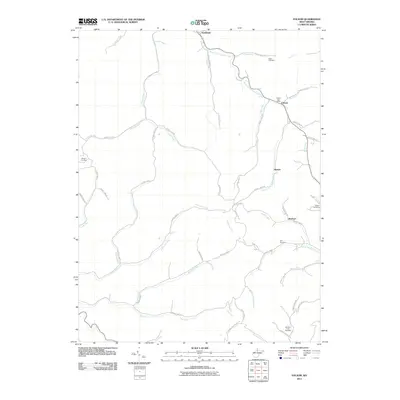 2011 Folsom2011 Print · USGSWetzel County's narrow valleys and winding creeks are captured here at the start of the 2010s. Genealogists and local researchers can trace family roots through several burial sites including Stout Cemetery, Dye Cemetery, and the Folsom Post Office.
 - 2011 Map of Pennsboro, 2011 Print
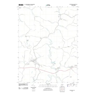 2011 Pennsboro2011 Print · USGSRitchie County at the start of the 2010s shows a landscape of river-valley settlements and rural post offices. Genealogists and historians can locate legacy landmarks like the Masonic Cemetery, the Toll Gate Post Office, and the town of Pennsboro.
 - 2011 Map of West Union, 2011 Print
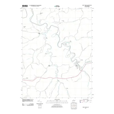 2011 West Union2011 Print · USGSDoddridge County in the early twenty-first century remains a landscape of winding creek valleys and high ridges. Researchers can trace family history through numerous rural burial grounds like Arnold Creek Cemetery and Ruley Cemetery near Central Station.
 - 2011 Map of Pine Grove, 2011 Print
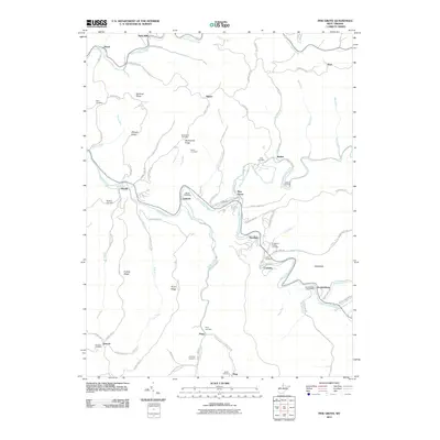 2011 Pine Grove2011 Print · USGSWetzel County's creek-valley communities are captured here in the early twenty-first century as they wind through the high ridges. Genealogists can locate several hilltop burials and family landmarks, including the Knights of Pythias Cemetery, Jacksonburg Post Office, and Mylburn Cemetery.
 - 2011 Map of Center Point, 2011 Print
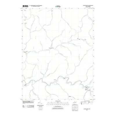 2011 Center Point2011 Print · USGSDoddridge County and the surrounding hills are captured here in the early 21st century, showing a landscape defined by winding creeks and rural crossroads. Researchers can trace family history through sites like Underwood Cemetery and the Center Point Covered Bridge.
 - 2011 Map of Middlebourne, 2011 Print
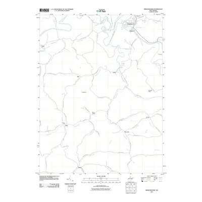 2011 Middlebourne2011 Print · USGSTyler County communities along Middle Island Creek appear in this 2011 survey of the rural landscape. Genealogists can trace family names and local sites from Middlebourne Cemetery to Wick Post Office and the small settlements of Bearsville and McKim.
 - 2011 Map of New Matamoras, 2011 Print
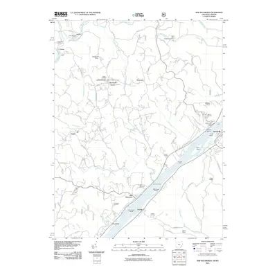 2011 New Matamoras2011 Print · USGSThe Ohio River valley near Grandview and New Matamoras remains a landscape of river-dependent settlements and high ridge farms in the early twenty-first century. Researchers can locate the Fly Ferry, the Fly Post Office, and numerous burial grounds like Salem Hall Cemetery.
 - 2011 Map of Bens Run, 2011 Print
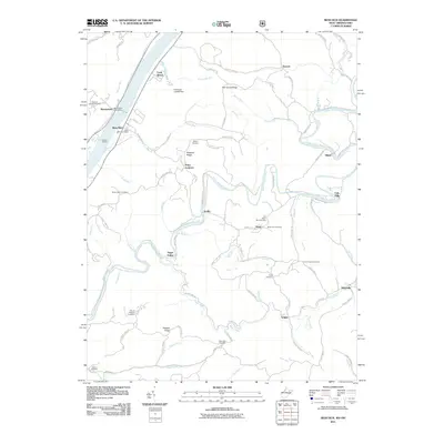 2011 Bens Run2011 Print · USGSThe Ohio River valley and its interior ridges are captured in detail during the early 21st century. Genealogists can locate numerous remote burial grounds like Old Beech Run Cemetery and trace early settlements from Bens Run to Falls Mills.
 - 2011 Map of Paden City, 2011 Print
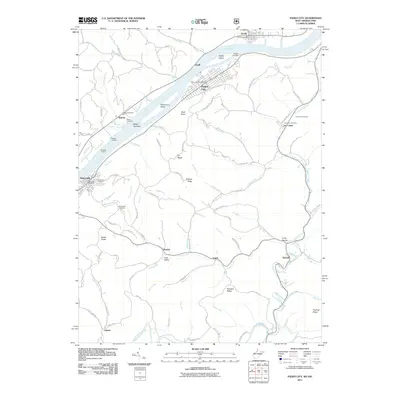 2011 Paden City2011 Print · USGSThe Ohio River valley in the early twenty-first century reveals a landscape of industrial river towns and deep-hollow settlements. Genealogists and local historians can trace family roots through numerous sites like Oakwood Cemetery, the Jackson Township Hall, and the riverfront at Sistersville.
 - 2013 Map of New Matamoras, 2013 Print
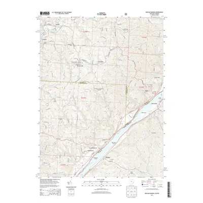 2013 New Matamoras2013 Print · USGSThe Ohio River valley at the turn of the 21st century reveals a landscape of ridge-top settlements and riverside industrial towns. Genealogists can trace family names at Jericho Methodist Cem, the German Lutheran Cem, or the Springer Grave near New Matamoras.
 - 2014 Map of Pine Grove, 2014 Print
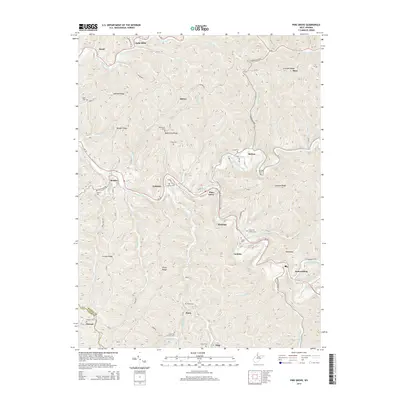 2014 Pine Grove2014 Print · USGSWetzel County's narrow creek valleys and high ridges are shown here in the mid-2010s, centering on the community of Pine Grove. Genealogists and local historians can trace small settlements and family burial grounds like Jacksonburg, Maud, and the Jolliffee Cem.
 - 2014 Map of Shirley, 2014 Print
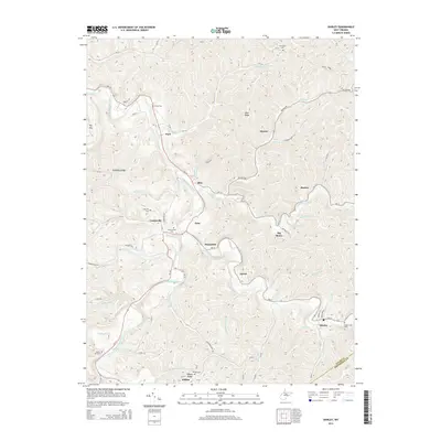 2014 Shirley2014 Print · USGSTyler County's rural heartland is documented here in the early twenty-first century, showing the enduring settlement patterns along the bends of Middle Island Creek. Researchers can trace generations of local history through numerous burial sites like Smith Cem, Spring Hill Cem, and Wilbur Cem.
 - 2014 Map of Center Point, 2014 Print
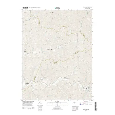 2014 Center Point2014 Print · USGSThe hills of Doddridge and Tyler counties come into focus during this mid-2010s survey, showing the deep-hollow settlements and high ridges of West Virginia. Trace local history at the Center Point Covered Bridge or locate ancestral sites at Underwood Cem and Stringtown.
 - 2014 Map of West Union, 2014 Print
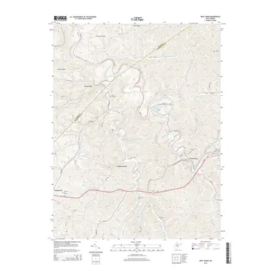 2014 West Union2014 Print · USGSDoddridge County as it appeared in the mid-2010s shows a landscape of deep hollows and historic rail corridors. Researchers can trace ancestral sites at Arnold Creek Cem or locate former stations along the Baltimore and Ohio Railroad near Central Station and West Union.
 - 2014 Map of Folsom, 2014 Print
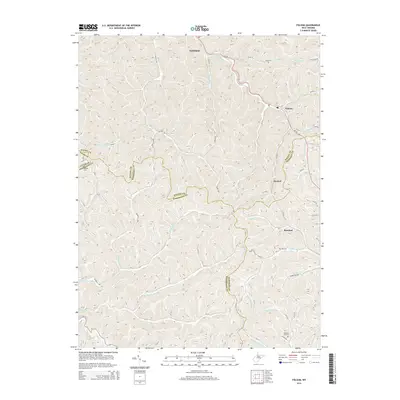 2014 Folsom2014 Print · USGSWetzel County and its neighbors are shown here in the early 2010s, defined by the winding creek valleys of the S Fork Fishing Cr. Researchers can trace old family roots at Stout Cem or Dye Cem and locate the historic centers of Smithfield and Hartzel.
 - 2014 Map of Ellenboro, 2014 Print
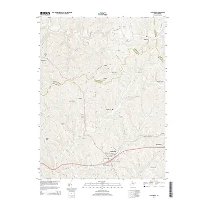 2014 Ellenboro2014 Print · USGSRitchie and Pleasants Counties are shown here during the early twenty-first century as the region transitioned toward recreation and modern infrastructure. Researchers can locate family burial sites like Nine Mile Cem and trace the N Bend State Park Rail Trl through Ellenboro.
 - 2014 Map of Bens Run, 2014 Print
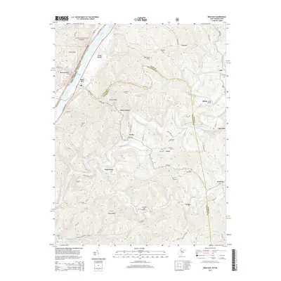 2014 Bens Run2014 Print · USGSThe West Virginia riverfront and its interior ridges are captured here during the 2010s, showcasing the rural landscapes of Tyler and Pleasants counties. Family historians can trace numerous burial sites like Bibbys Cem and Craig Cem alongside landmarks such as the Shawnee Truss Bridge.
 - 2014 Map of Pennsboro, 2014 Print
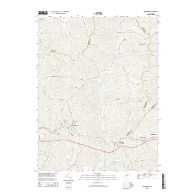 2014 Pennsboro2014 Print · USGSRitchie County at the start of the 2010s reveals a landscape shaped by narrow valleys and historic transit corridors. Genealogists and local historians can trace family plots at Masonic Cem and Buck Run Cem or explore the settlements of Pennsboro and Toll Gate.
 - 2014 Map of Middlebourne, 2014 Print
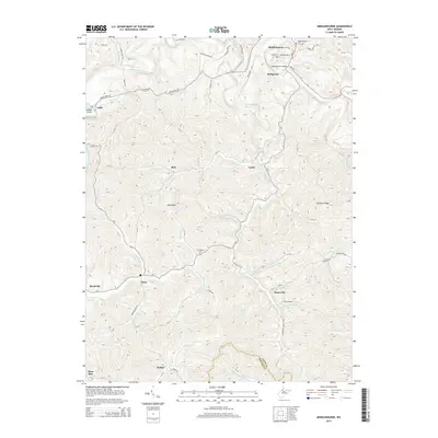 2014 Middlebourne2014 Print · USGSThe West Virginia hills of Tyler County come into focus in the mid-2010s, centered on the community of Middlebourne. Genealogists and local historians can locate several burial grounds like Middlebourne Cem and trace old roads through Wick, Bearsville, and McKim.
 - 2014 Map of Paden City, 2014 Print
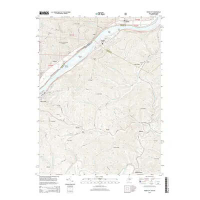 2014 Paden City2014 Print · USGSThe riverfront communities of Sistersville and Paden City are captured here during the early twenty-first century along the banks of the Ohio River. Local historians can trace family locations through numerous sites like Oakwood Cem, Van Camp Cem, and the rural community at Pursley.
 - 2014 Map of Porters Falls, 2014 Print
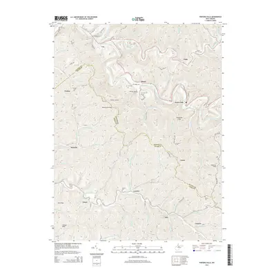 2014 Porters Falls2014 Print · USGSThe borderlands of Wetzel and Tyler counties are shown here in the early twenty-first century, centered on the winding Fishing Creek valley. Local historians and genealogists can trace numerous hilltop burial sites like Mt Hope Cem and Wells Cem or locate rural settlements such as Iuka and Sandusky.
 - 2016 Map of Ellenboro, 2016 Print
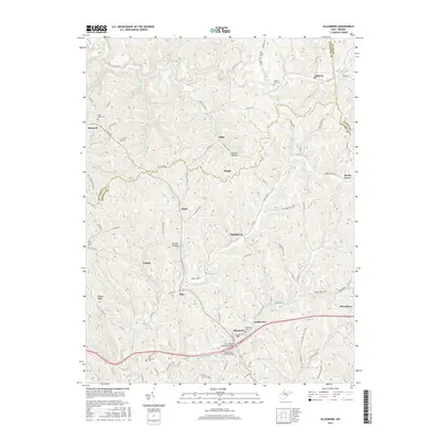 2016 Ellenboro2016 Print · USGSRitchie County in the mid-2010s shows a landscape of deep hollows and high ridges centered on the town of Ellenboro. Genealogists and local historians can trace family locations near Pine Grove Cem, the settlement at Highland, or along Bonds Creek.
Showing maps 1-25 of 48
Top cities of Tyler County
Frequently asked questions
- What are the different types of historical maps available for Tyler County?
- What is the oldest map of Tyler County?
- Where can I purchase historical maps of Tyler County for my home or office?
- Where can I download high-res historical maps of Tyler County?
- Are there historical topographic maps available for Tyler County?
- Is there historical aerial imagery available for Tyler County?
- Where are historical maps of Tyler County sourced from?