2000s (21st Century) Maps of Buffalo, Wisconsin
Explore 20 historic maps of Buffalo from the 2000s (21st Century). These maps offer a rare glimpse into what life looked like during the 2000s — showing old roads, neighborhoods, homes, and landmarks that have changed or disappeared over time.
Whether you're researching your family's past, planning a metal detecting trip, or studying how Buffalo's landscape evolved across the 2000s, these high-resolution maps are a powerful tool for exploring the history of this region.
- Focus on a specific era: All maps on this page are from the 2000s, giving you a focused view of this time period.
- See what’s changed: Compare century-old streets, trails, and buildings to today's modern landscape using overlays and satellite layers.
- Research with precision: Use these maps for genealogy, historical research, land use analysis, or educational projects.
- View, download, or print: Maps are fully viewable online in high resolution, and can be downloaded or printed for your own records.
Start exploring Buffalo's history through authentic maps from the 2000s. This is your window into the past.
Buffalo, WI maps
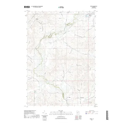
(20)- 2010 Map of Dodge, 2010 Print
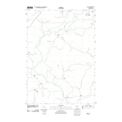 2010 Dodge2010 Print · USGSCovers Buffalo, including Arcadia, Glencoe, and other nearby areas
 - 2011 Map of Winona West, 2011 Print
 2011 Winona West2011 Print · USGSCovers Buffalo, including Winona, Goodview, and other nearby areas
 - 2011 Map of Winona East, 2011 Print
 2011 Winona East2011 Print · USGSCovers Buffalo, including Winona, Homer, and other nearby areas
 - 2011 Map of Fountain City, 2011 Print
 2011 Fountain City2011 Print · USGSCovers Buffalo, including Winona, Fountain City, and other nearby areas
 - 2013 Map of Dodge, 2013 Print
 2013 Dodge2013 Print · USGSCovers Buffalo, including Arcadia, Glencoe, and other nearby areas
 - 2013 Map of Fountain City, 2013 Print
 2013 Fountain City2013 Print · USGSCovers Buffalo, including Winona, Fountain City, and other nearby areas
 - 2013 Map of Winona West, 2013 Print
 2013 Winona West2013 Print · USGSCovers Buffalo, including Winona, Goodview, and other nearby areas
 - 2013 Map of Winona East, 2013 Print
 2013 Winona East2013 Print · USGSCovers Buffalo, including Winona, Homer, and other nearby areas
 - 2015 Map of Dodge, 2015 Print
 2015 Dodge2015 Print · USGSCovers Buffalo, including Arcadia, Glencoe, and other nearby areas
 - 2015 Map of Fountain City, 2015 Print
 2015 Fountain City2015 Print · USGSCovers Buffalo, including Winona, Fountain City, and other nearby areas
 - 2016 Map of Winona West, 2016 Print
 2016 Winona West2016 Print · USGSCovers Buffalo, including Winona, Goodview, and other nearby areas
 - 2016 Map of Winona East, 2016 Print
 2016 Winona East2016 Print · USGSCovers Buffalo, including Winona, Homer, and other nearby areas
 - 2018 Map of Fountain City, 2018 Print
 2018 Fountain City2018 Print · USGSCovers Buffalo, including Winona, Fountain City, and other nearby areas
 - 2018 Map of Dodge, 2018 Print
 2018 Dodge2018 Print · USGSCovers Buffalo, including Arcadia, Glencoe, and other nearby areas
 - 2019 Map of Winona West, 2019 Print
 2019 Winona West2019 Print · USGSCovers Buffalo, including Winona, Goodview, and other nearby areas
 - 2019 Map of Winona East, 2019 Print
 2019 Winona East2019 Print · USGSCovers Buffalo, including Winona, Homer, and other nearby areas
 - 2022 Map of Winona East, 2022 Print
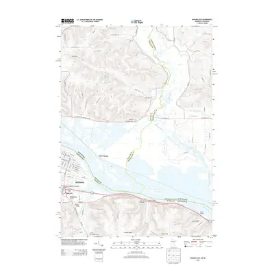
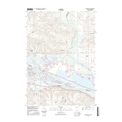
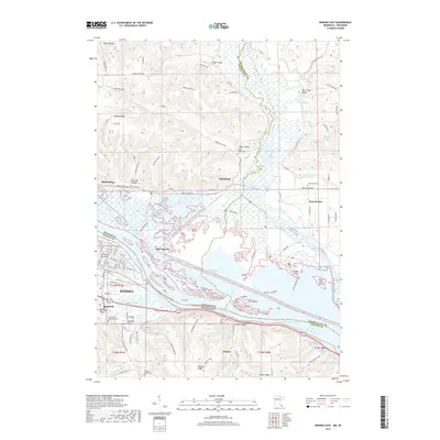
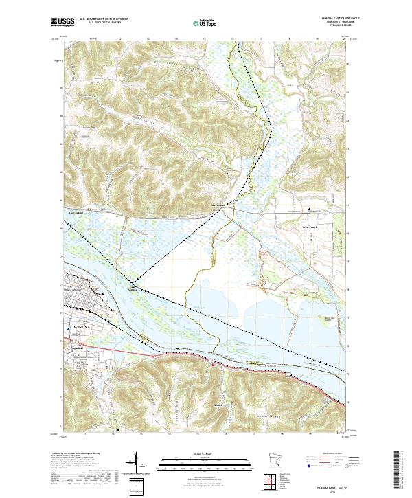 2022 Winona East2022 Print · USGSWinona and the Mississippi River valley are documented in this contemporary survey of the Minnesota-Wisconsin border. Researchers can locate family landmarks such as Saint Mary's Cem of Winona and Piper Valley Cem alongside modern features like Sugarloaf.
 - 2022 Map of Dodge, 2022 Print
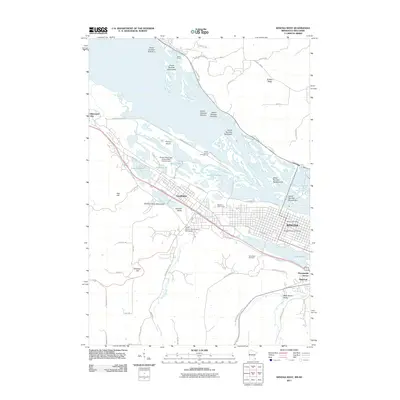
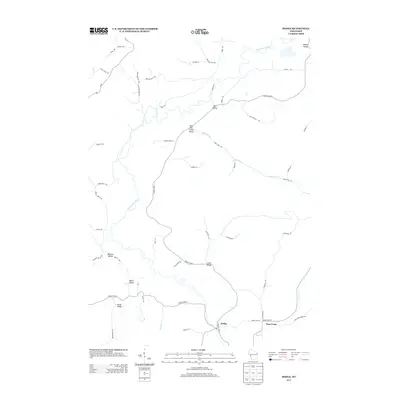
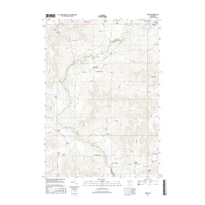
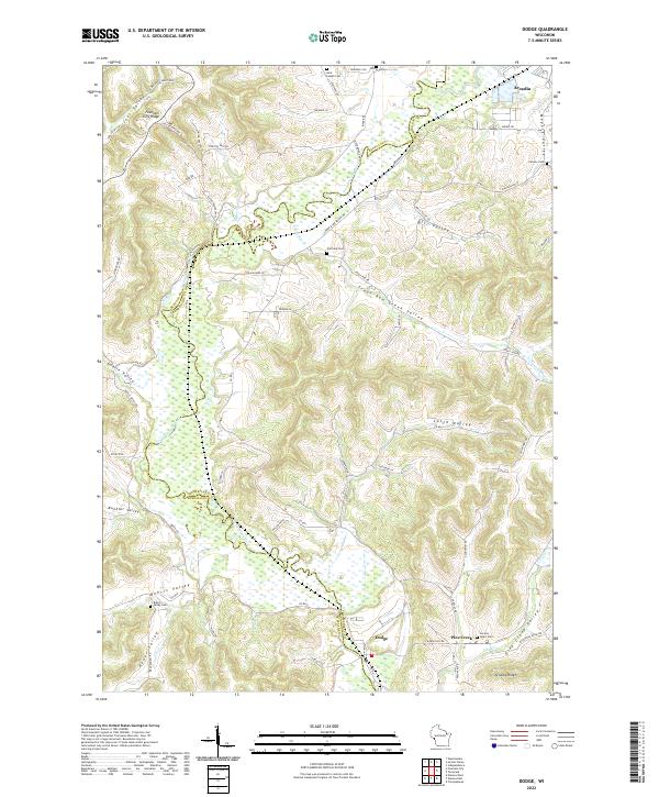 2022 Dodge2022 Print · USGSThe coulee country along the Buffalo and Trempealeau county border is shown here in the modern era. Family historians can trace local landmarks across Buehler Valley and Arcadia Ridge, or locate burial sites like Cortland Cem and Sacred Heart Cem.
 - 2022 Map of Fountain City, 2022 Print
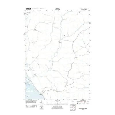
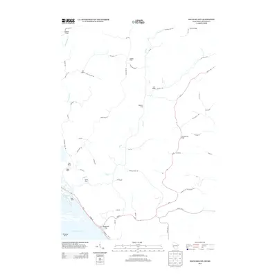
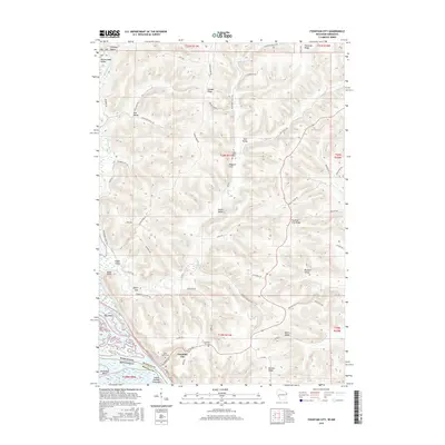
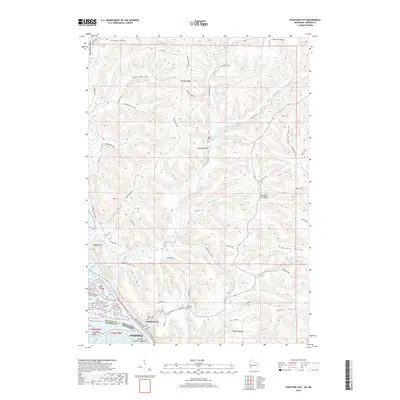
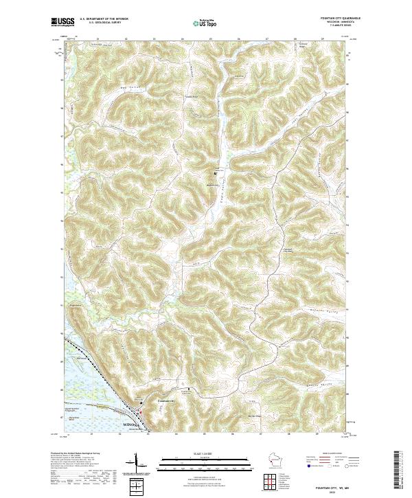 2022 Fountain City2022 Print · USGSFountain City sits at the edge of the Mississippi River in the early 2020s, showing the dramatic bluff topography of Buffalo County. Researchers can trace family plots at Saint Mary's Cem and explore the rugged coulees of Eagle Valley and Doelle Valley.
 - 2022 Map of Winona West, 2022 Print
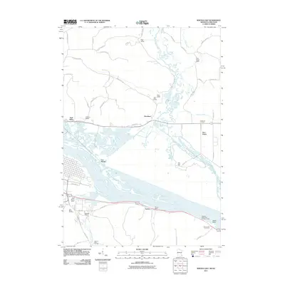
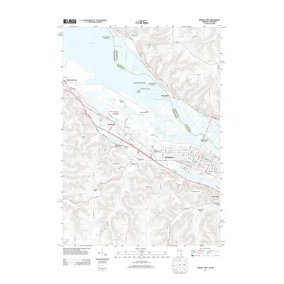
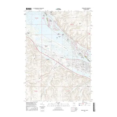
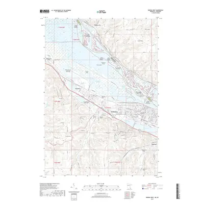
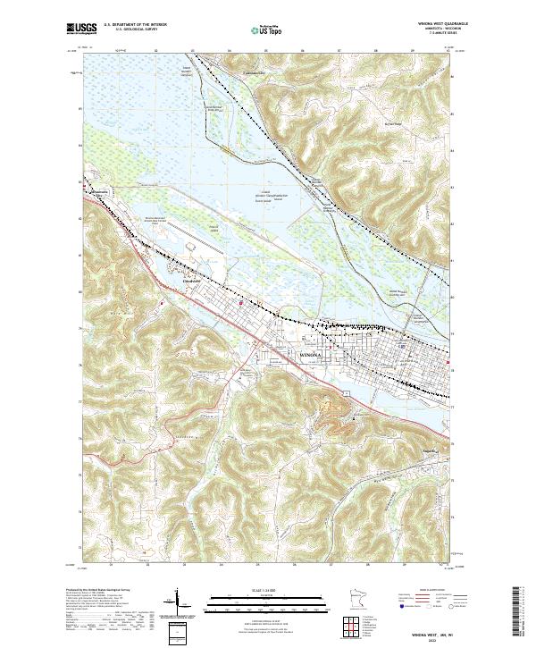 2022 Winona West2022 Print · USGSThe upper Mississippi riverfront comes alive in this survey of the river valley and its surrounding bluffs. Genealogists and historians can locate Woodlawn Cem, trace the CP Rail corridor, and explore the campuses of Winona State University and Goodview.
End of results
Showing maps 1-20 of 20
Top cities near Buffalo
- Winona historical maps
- Arcadia historical maps
- Goodview historical maps
- Trempealeau historical maps
- Homer historical maps
- Wilson historical maps
See more
Top neighborhoods of Buffalo
Frequently asked questions
- What are the different types of historical maps available for Buffalo?
- What is the oldest map of Buffalo?
- Where can I purchase historical maps of Buffalo for my home or office?
- Where can I download high-res historical maps of Buffalo?
- Are there historical topographic maps available for Buffalo?
- Is there historical aerial imagery available for Buffalo?
- Where are historical maps of Buffalo sourced from?