2020s Maps of Door County, Wisconsin
Explore 27 historic maps of Door County from the 2020s. These maps offer a rare glimpse into what life looked like during the 2020s — showing old roads, neighborhoods, homes, and landmarks that have changed or disappeared over time.
Whether you're researching your family's past, planning a metal detecting trip, or studying how Door County's landscape evolved across the 2020s, these high-resolution maps are a powerful tool for exploring the history of this region.
- Focus on a specific era: All maps on this page are from the 2020s, giving you a focused view of this time period.
- See what’s changed: Compare century-old streets, trails, and buildings to today's modern landscape using overlays and satellite layers.
- Research with precision: Use these maps for genealogy, historical research, land use analysis, or educational projects.
- View, download, or print: Maps are fully viewable online in high resolution, and can be downloaded or printed for your own records.
Start exploring Door County's history through authentic maps from the 2020s. This is your window into the past.
Door County, WI maps
(27)- 2022 Map of Brussels, 2022 Print
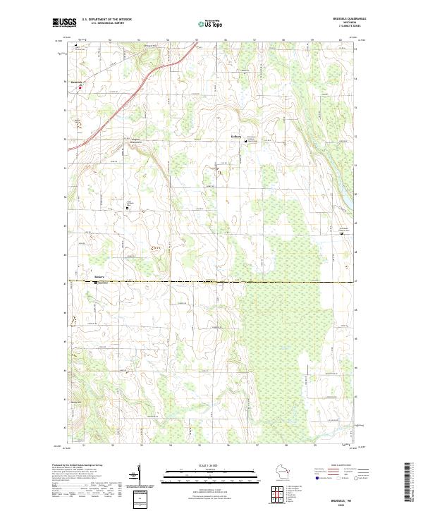 2022 Brussels2022 Print · USGSThe Door Peninsula's unique topography and rural settlements are documented here in the early twenty-first century. Genealogists and historians can trace family locations through sites like Saint Huberts Catholic Cem and the villages of Brussels and Kolberg.
 - 2022 Map of Jacksonport SW, 2022 Print
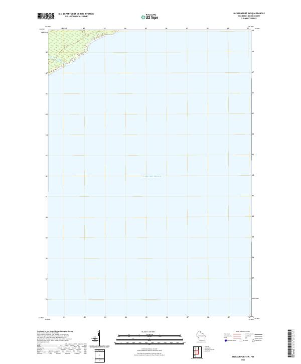 2022 Jacksonport SW2022 Print · USGSDoor County's eastern shoreline meets the water in the early 2020s, showing a preserved landscape of coastal creeks and open lake. Researchers can trace the path of Shivering Sands Cr and the route of Co Rd T along the lakefront.
 - 2022 Map of Idlewild, 2022 Print
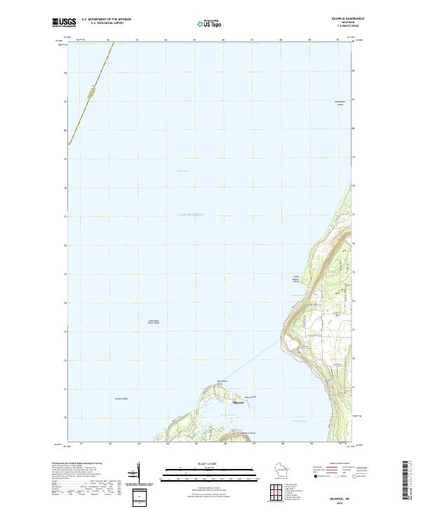 2022 Idlewild2022 Print · USGSDoor County’s coastline near the entrance to Sturgeon Bay is mapped here in the early twenty-first century. Maritime researchers can locate Sherwood Point, trace the Water Trail along the bluffs, and identify hazards like Larsons Reef and Monument Shoal.
 - 2022 Map of Sturgeon Bay West, 2022 Print
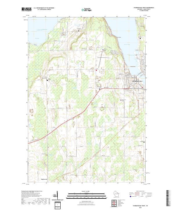 2022 Sturgeon Bay West2022 Print · USGSDoor County’s western shoreline and the city of Sturgeon Bay are captured in the early 2020s, showing a mix of maritime industry and rural farmland. Genealogists can locate several family and community landmarks, including Hainesville Cem, Schumacher Cem, and the village of Maplewood.
 - 2022 Map of Algoma NE, 2022 Print
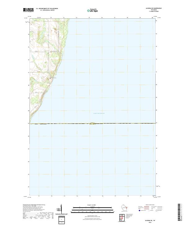 2022 Algoma NE2022 Print · USGSThe Door and Kewaunee County line meets the shoreline of Lake Michigan in this contemporary survey of Wisconsin's coastal landscape. Researchers can locate the Claybanks Cem and follow small local drainages like Schuyler Cr and Bear Cr.
 - 2022 Map of Little Sturgeon SW, 2022 Print
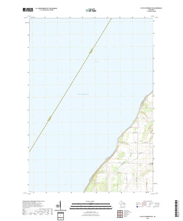 2022 Little Sturgeon SW2022 Print · USGSThe Door County shoreline along Green Bay and Lake Michigan is captured here in the early twenty-first century. Genealogists and local historians can trace family roots around the White Star Cemetery and along rural routes like Gardner Rd and Brussels Rd.
 - 2022 Map of Sturgeon Bay East, 2022 Print
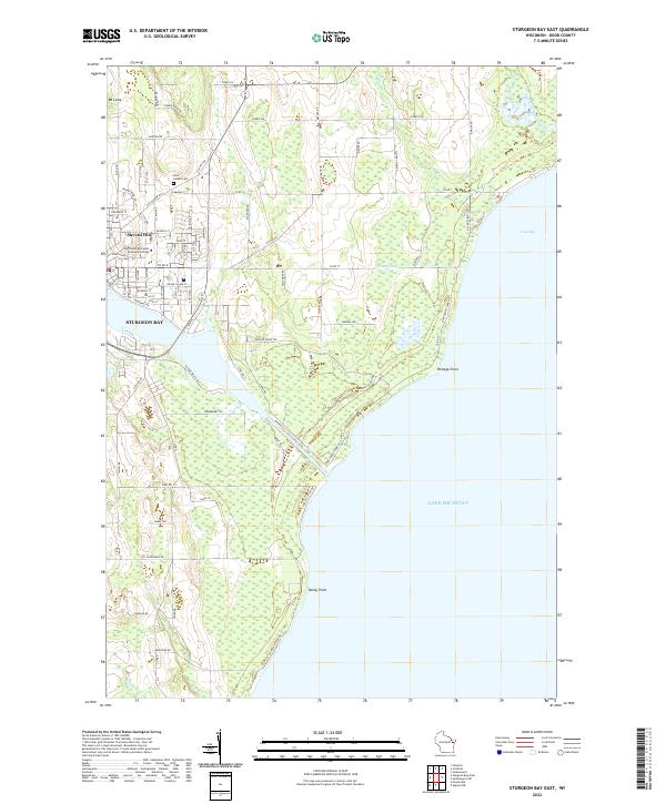 2022 Sturgeon Bay East2022 Print · USGSThe eastern reaches of Sturgeon Bay and the Lake Michigan shoreline are captured here in the early twenty-first century. Genealogists and local historians can trace the city’s expansion toward Stevens Hill, the grounds of Saint Joseph Cem, and the vital Sturgeon Bay Ship Canal.
 - 2022 Map of Forestville, 2022 Print
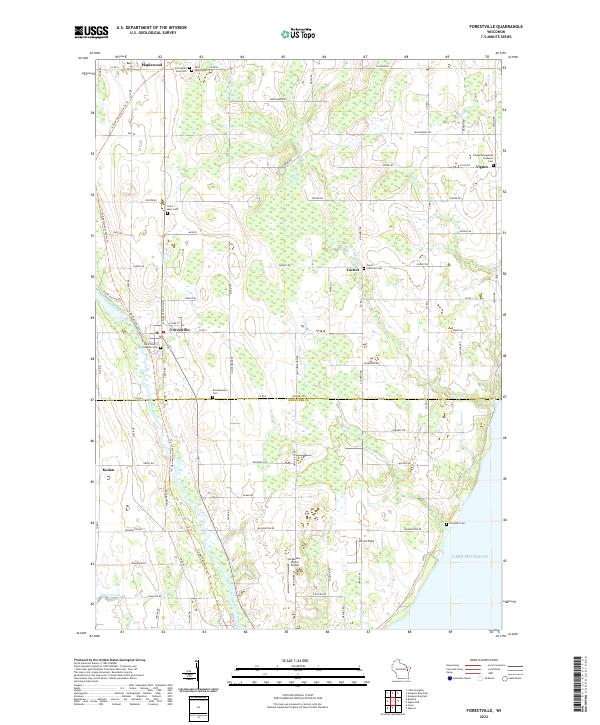 2022 Forestville2022 Print · USGSThe Ahnapee River valley and the Door-Kewaunee county line define this rural Wisconsin landscape during the early twenty-first century. Genealogists can trace family history through numerous local sites including Tanum Evangelical Lutheran Cem and Brockhausen Cem.
 - 2022 Map of Institute, 2022 Print
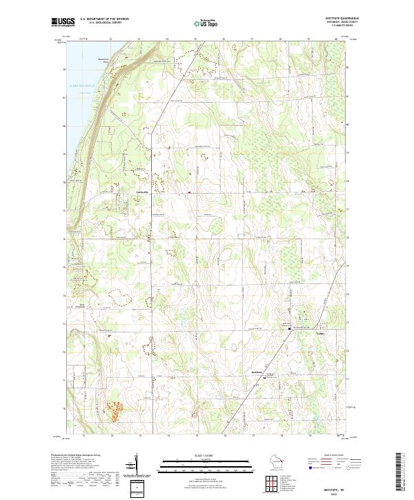 2022 Institute2022 Print · USGSThe western shores of the Door Peninsula are documented here in the early twenty-first century, featuring the high overlooks of Windsong Bluff. Researchers can trace the communities of Carlsville and Institute or locate family roots at Saint John Lutheran Cem.
 - 2022 Map of Ellison Bay, 2022 Print
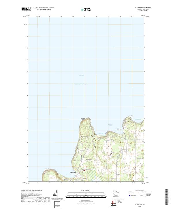 2022 Ellison Bay2022 Print · USGSNorthern Door County is documented here in the early twenty-first century, showing the established waterfront communities and peninsular terrain. Genealogists and local historians can locate Trinity Lutheran Cem and trace the roads around Ellison Bay and Gills Rock.
 - 2022 Map of Marinette East, 2022 Print
 2022 Marinette East2022 Print · USGSThe twin border cities of the Menominee River estuary are shown here in detail during the early 2020s. Trace the urban development near the Menominee County Courthouse or explore the coastal features of Seagull Bar and Green Island.
 - 2022 Map of Spider Island, 2022 Print
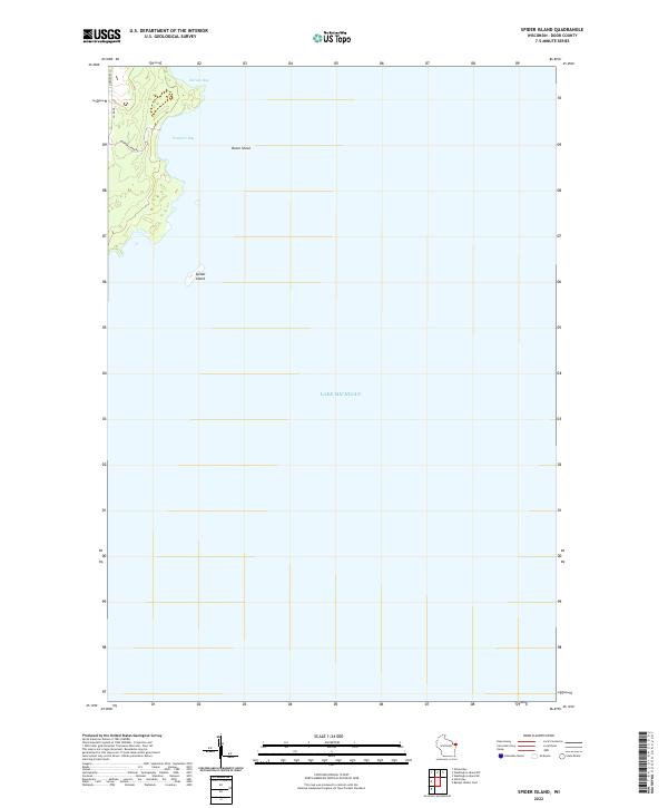 2022 Spider Island2022 Print · USGSThe northeastern tip of the Door County peninsula is captured here in the early 2020s, showcasing where the mainland meets the expanse of Lake Michigan. You can trace the rugged shoreline around Newport Bay and locate the offshore Spider Island.
 - 2022 Map of Baileys Harbor West, 2022 Print
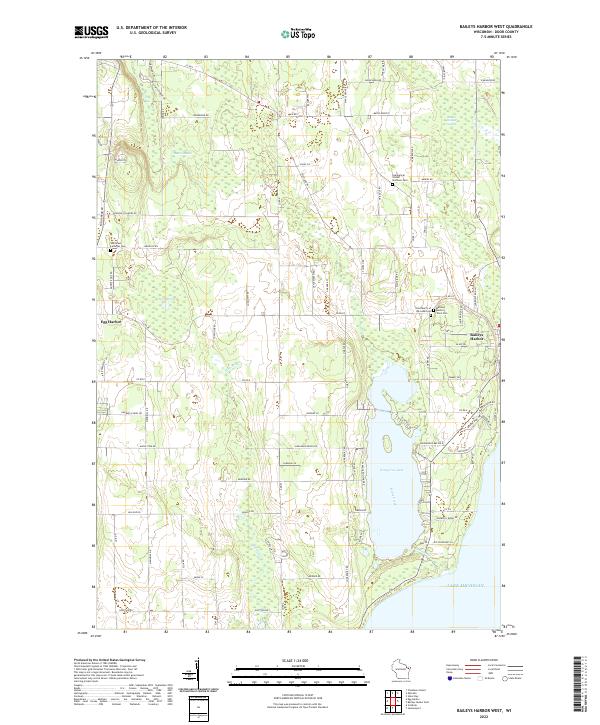 2022 Baileys Harbor West2022 Print · USGSDoor County's peninsula geography is captured here in the early 2020s, showing the landscape between the Green Bay and Lake Michigan shores. Researchers can locate local landmarks like Kangaroo Lake or trace family sites at the Saint Paul Lutheran Cem and Baileys Harbor Town Cem.
 - 2022 Map of Washington Island NW, 2022 Print
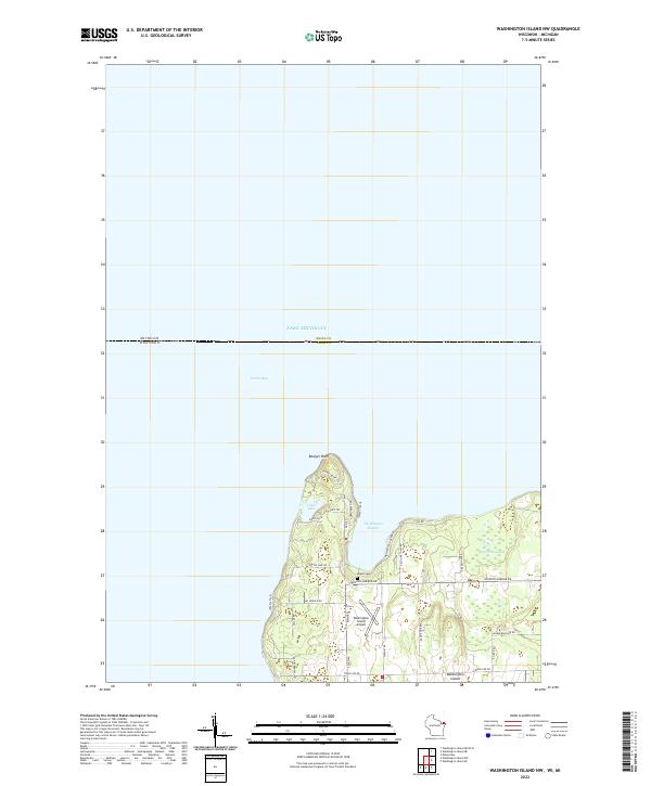 2022 Washington Island NW2022 Print · USGSThe northern tip of Wisconsin’s Door Peninsula is captured here in the early 2020s, showing the quiet settlement patterns of Washington Island. Researchers can trace local lineage through sites like Island Cem or explore the coast near Bowyer Bluff and Little Lake.
 - 2022 Map of Washington Island SW, 2022 Print
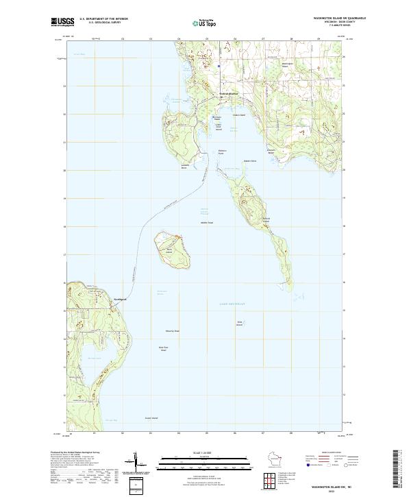 2022 Washington Island SW2022 Print · USGSThe waters surrounding southwestern Washington Island and the tip of the Door Peninsula are mapped here in the early twenty-first century. Researchers can trace the maritime corridors of Porte des Morts and find landmarks like Detroit Harbor, Plum Island, and Europe Lake.
 - 2022 Map of Green Island, 2022 Print
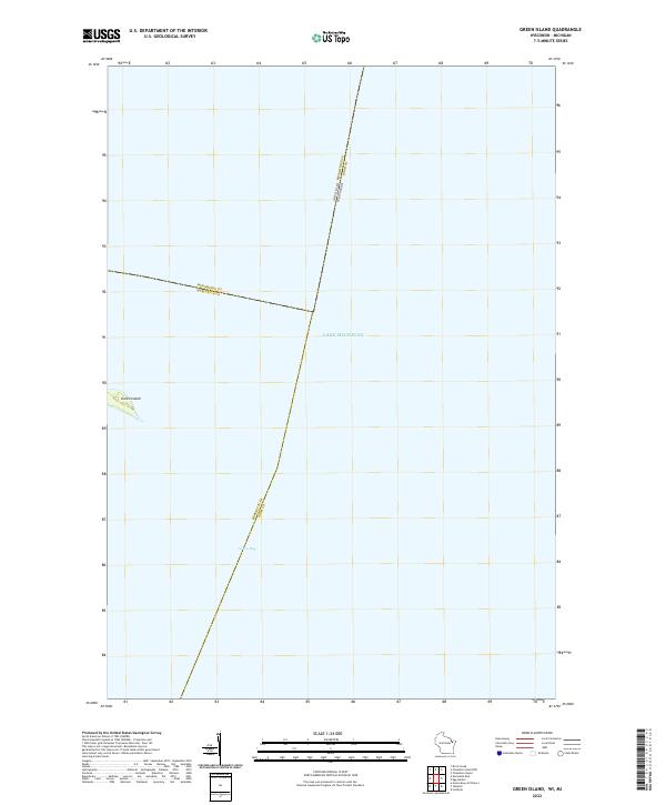 2022 Green Island2022 Print · USGSThe waters of the northern Great Lakes are captured in this modern survey, focusing on the isolated Green Island during the early twenty-first century. Researchers can trace the aquatic boundaries where Lake Michigan meets Green Bay at the junction of Door, Marinette, and Menominee counties.
 - 2022 Map of Washington Island NE, 2022 Print
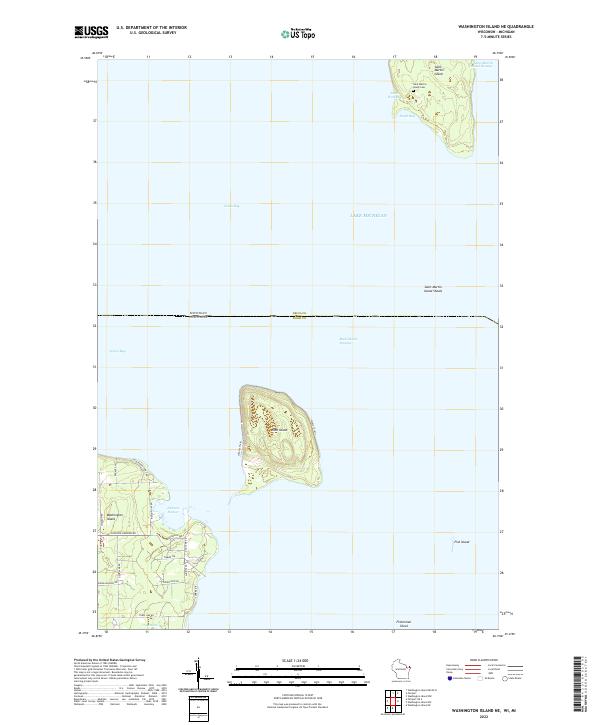 2022 Washington Island NE2022 Print · USGSThe islands and passages of the Door County archipelago are documented here in the early twenty-first century. Researchers can trace land tracts near Jackson Harbor or locate the historic Saint Martin Island Cem on the northern islands.
 - 2022 Map of Washington Island SE, 2022 Print
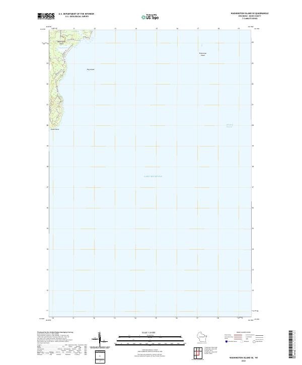 2022 Washington Island SE2022 Print · USGSWashington Island at the edge of Lake Michigan is documented here in the early twenty-first century, showing the transition from island wetlands to the open lake. Researchers can trace land use near Big Marsh and identify property access along Old Mill Rd and Michigan Rd.
 - 2022 Map of Chambers Island, 2022 Print
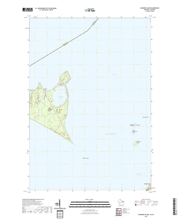 2022 Chambers Island2022 Print · USGSChambers Island and the surrounding waters of Green Bay are shown in detail as they appeared in 2022. Researchers can trace the layout of the Chambers Island Airport and the small archipelago of the Strawberry Islands.
 - 2022 Map of Baileys Harbor East, 2022 Print
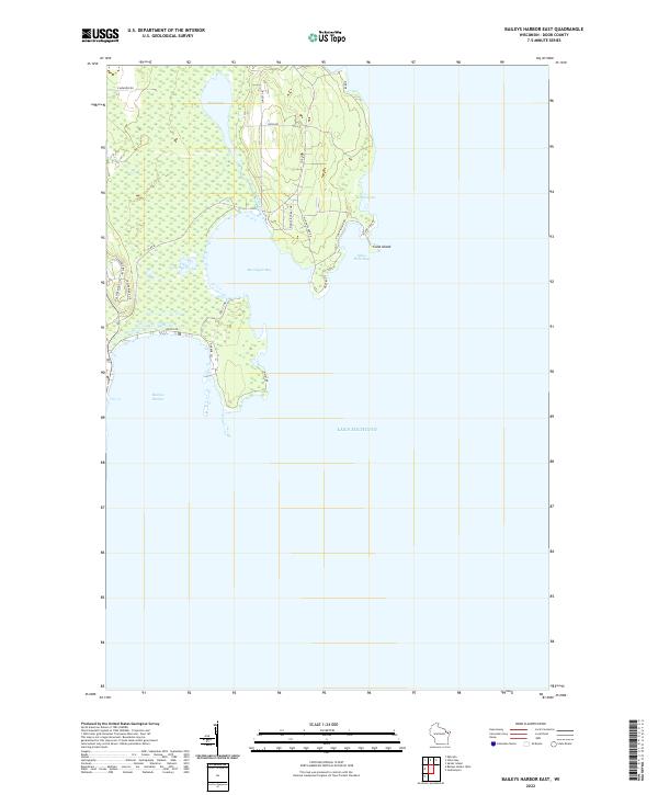 2022 Baileys Harbor East2022 Print · USGSDoor County's eastern shoreline is captured in this modern survey, highlighting the peninsula's intricate maritime edge and wetland preserves. Researchers can trace the coastal access roads and property boundaries around Baileys Harbor, Cana Island, and Moonlight Bay.
 - 2022 Map of Ephraim, 2022 Print
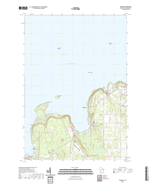 2022 Ephraim2022 Print · USGSThe Door Peninsula shoreline comes into sharp focus in this recent survey of the lands between Ephraim and Sister Bay. Researchers can trace local lineage through several sites like Bethany Lutheran Cem and Little Sister Cem or explore landmarks like Eagle Bluff.
 - 2022 Map of Sister Bay, 2022 Print
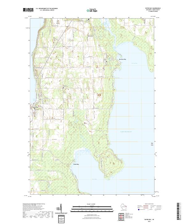 2022 Sister Bay2022 Print · USGSThe Door Peninsula shoreline near Sister Bay is captured here as it appeared in the early 2020s. Genealogists and local historians can locate Saint Rosalia Cem, the Sister Bay Moravian Cem, and the winding course of the Mink River as it enters Rowleys Bay.
 - 2022 Map of Jacksonport, 2022 Print
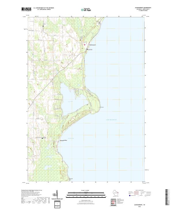 2022 Jacksonport2022 Print · USGSJacksonport and the Door County coast appear here in the early twenty-first century, showing the intricate intersection of peninsula life and Lake Michigan. Genealogists and researchers can trace local family sites like Zion Lutheran Cem and Whitefish Bay Cem near Cave Point.
 - 2022 Map of Namur, 2022 Print
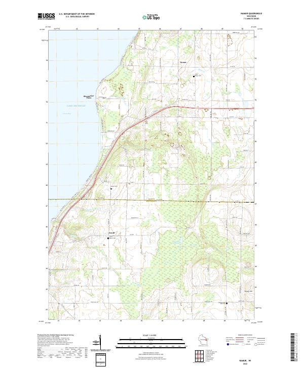 2022 Namur2022 Print · USGSThe Belgian heritage of the Door Peninsula is preserved here as the modern road network meets the shores of Green Bay. Researchers can trace the layout of small crossroads communities and family landmarks like Dhuey Hill, Saint Marys Cem, and Duvall Swamp.
 - 2022 Map of Chambers Island NW, 2022 Print
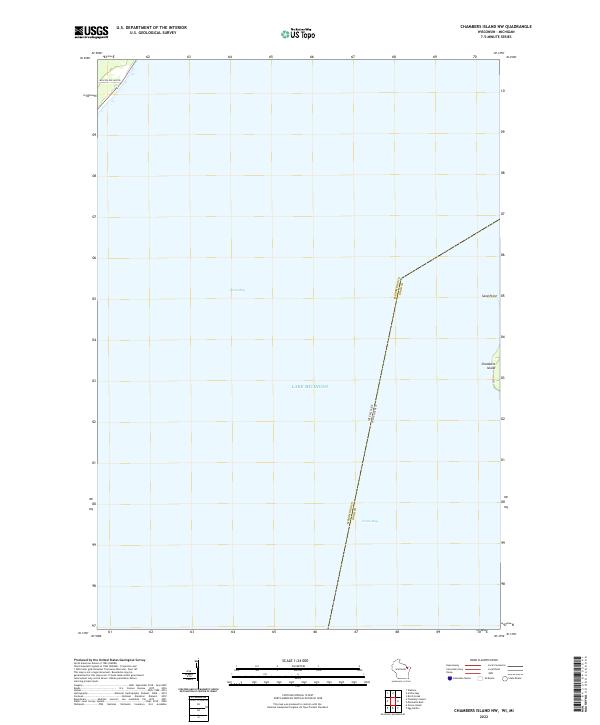 2022 Chambers Island NW2022 Print · USGSCoastal Wisconsin and Michigan boundaries meet in these waters during the early twenty-first century, centered on the expanse of Green Bay. Local historians can trace the shoreline of Chambers Island and locate land features like Sand Point and Million Dollar Rd.
Showing maps 1-25 of 27
Top cities of Door County
- Sturgeon Bay historical maps
- Brussels historical maps
- Baileys Harbor historical maps
- Sister Bay historical maps
- Jacksonport historical maps
- Washington historical maps
See more
Frequently asked questions
- What are the different types of historical maps available for Door County?
- What is the oldest map of Door County?
- Where can I purchase historical maps of Door County for my home or office?
- Where can I download high-res historical maps of Door County?
- Are there historical topographic maps available for Door County?
- Is there historical aerial imagery available for Door County?
- Where are historical maps of Door County sourced from?