Old Maps of Forest County, Wisconsin for Academic Research
Study the evolution of Forest County with 100 high-resolution historic maps. Whether you're teaching, researching, or modeling changes in land use, these maps provide essential visual documentation of urban, environmental, and geographic change.
- Analyze long-term change: Track patterns in development, transportation, and natural features.
- Ideal for environmental or urban studies: Support academic projects with primary historical map data.
- Use in the classroom or lab: Educators and researchers rely on these maps to bring historical context to life.
These maps are a powerful tool for teaching, research, and visualizing how Forest County has changed over the decades.
Forest County, WI maps
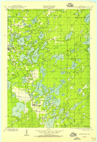
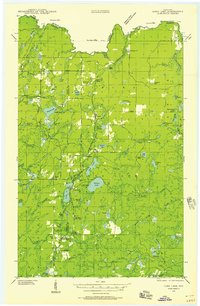
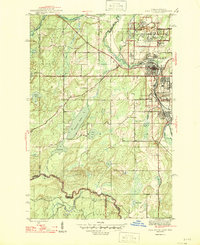
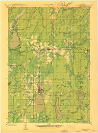
(100)- 1898 Map of Iron River, 1899 Print
 1898 Iron River1899 Print · USGSCovers Forest County, including Iron River, Stambaugh, and other nearby areas2 unique versions available
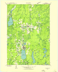
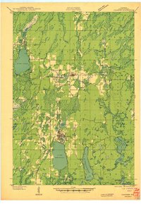
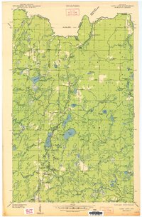
 - 1928 Map of Three Lakes
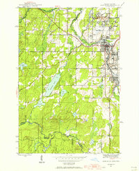
 1928 Three Lakes1928 Print · USGSCovers Forest County, including Three Lakes, Sugar Camp, and other nearby areas
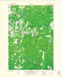
 - 1938 Map of Alvin, 1956 Print
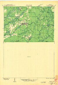
 1938 Alvin1956 Print · USGSCovers Forest County, including Phelps, Argonne, and other nearby areas2 unique versions available
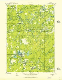
 - 1938 Map of Three Lakes, 1956 Print
 1938 Three Lakes1956 Print · USGSCovers Forest County, including Three Lakes, Sugar Camp, and other nearby areas2 unique versions available
 - 1939 Map of Crandon, 1955 Print
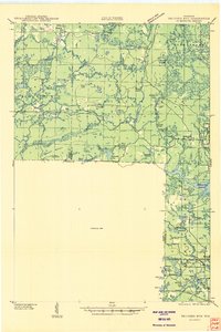
 1939 Crandon1955 Print · USGSCovers Forest County, including Crandon, Laona, and other nearby areas2 unique versions available
 - 1939 Map of Goodman, 1956 Print
 1939 Goodman1956 Print · USGSCovers Forest County, including Wabeno, Goodman, and other nearby areas
 - 1939 Map of Laona, 1956 Print
 1939 Laona1956 Print · USGSCovers Forest County, including Laona, Wabeno, and other nearby areas2 unique versions available
 - 1939 Map of Long Lake, 1957 Print
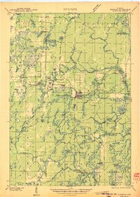
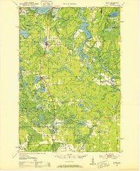
 1939 Long Lake1957 Print · USGSCovers Forest County, including Florence, Fence, and other nearby areas2 unique versions available
 - 1940 Map of Thunder Mtn.
 1940 Thunder Mtn.1940 Print · USGSCovers Forest County, including Wabeno, Lakewood, and other nearby areas2 unique versions available
 - 1940 Map of Monico, 1955 Print
 1940 Monico1955 Print · USGSCovers Forest County, including Three Lakes, Sugar Camp, and other nearby areas
 - 1941 Map of Crandon
 1941 Crandon1941 Print · USGSCovers Forest County, including Crandon, Laona, and other nearby areas
 - 1942 Map of Elcho
 1942 Elcho1942 Print · USGSCovers Forest County, including Elcho, Nashville, and other nearby areas
 - 1942 Map of Wabeno
 1942 Wabeno1942 Print · USGSCovers Forest County, including Laona, Wabeno, and other nearby areas
 - 1942 Map of Pearson
 1942 Pearson1942 Print · USGSCovers Forest County, including Laona, Nashville, and other nearby areas
 - 1944 Map of Iron River, 1956 Print
 1944 Iron River1956 Print · USGSCovers Forest County, including Iron River, Stambaugh, and other nearby areas2 unique versions available
 - 1945 Map of Three Lakes, 1946 Print
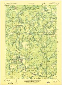
 1945 Three Lakes1946 Print · USGSCovers Forest County, including Three Lakes, Sugar Camp, and other nearby areas3 unique versions available
 - 1946 Map of Laona
 1946 Laona1946 Print · USGSCovers Forest County, including Laona, Wabeno, and other nearby areas
 - 1946 Map of Iron River
 1946 Iron River1946 Print · USGSCovers Forest County, including Iron River, Stambaugh, and other nearby areas2 unique versions available
 - 1946 Map of Alvin
 1946 Alvin1946 Print · USGSCovers Forest County, including Phelps, Argonne, and other nearby areas
 - 1946 Map of Goodman
 1946 Goodman1946 Print · USGSCovers Forest County, including Wabeno, Goodman, and other nearby areas
 - 1947 Map of Crandon
 1947 Crandon1947 Print · USGSCovers Forest County, including Crandon, Laona, and other nearby areas
 - 1948 Map of Long Lake
 1948 Long Lake1948 Print · USGSCovers Forest County, including Florence, Fence, and other nearby areas
 - 1950 Map of Wabeno
 1950 Wabeno1950 Print · USGSCovers Forest County, including Laona, Wabeno, and other nearby areas
 - 1950 Map of Monico
 1950 Monico1950 Print · USGSCovers Forest County, including Three Lakes, Sugar Camp, and other nearby areas
 - 1950 Map of Elcho, 1952 Print
 1950 Elcho1952 Print · USGSCovers Forest County, including Elcho, Nashville, and other nearby areas3 unique versions available
Showing maps 1-25 of 100
Top cities of Forest County
- Crandon historical maps
- Laona historical maps
- Wabeno historical maps
- Nashville historical maps
- Argonne historical maps
- Armstrong Creek historical maps
See more
Frequently asked questions
- What are the different types of historical maps available for Forest County?
- What is the oldest map of Forest County?
- Where can I purchase historical maps of Forest County for my home or office?
- Where can I download high-res historical maps of Forest County?
- Are there historical topographic maps available for Forest County?
- Is there historical aerial imagery available for Forest County?
- Where are historical maps of Forest County sourced from?