2000s (21st Century) Maps of Forest County, Wisconsin
Explore 145 historic maps of Forest County from the 2000s (21st Century). These maps offer a rare glimpse into what life looked like during the 2000s — showing old roads, neighborhoods, homes, and landmarks that have changed or disappeared over time.
Whether you're researching your family's past, planning a metal detecting trip, or studying how Forest County's landscape evolved across the 2000s, these high-resolution maps are a powerful tool for exploring the history of this region.
- Focus on a specific era: All maps on this page are from the 2000s, giving you a focused view of this time period.
- See what’s changed: Compare century-old streets, trails, and buildings to today's modern landscape using overlays and satellite layers.
- Research with precision: Use these maps for genealogy, historical research, land use analysis, or educational projects.
- View, download, or print: Maps are fully viewable online in high resolution, and can be downloaded or printed for your own records.
Start exploring Forest County's history through authentic maps from the 2000s. This is your window into the past.
Forest County, WI maps
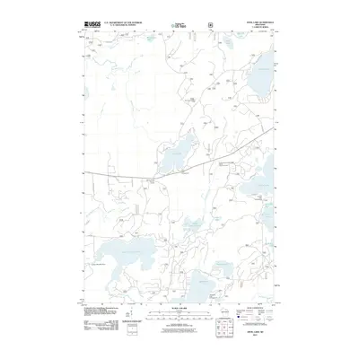
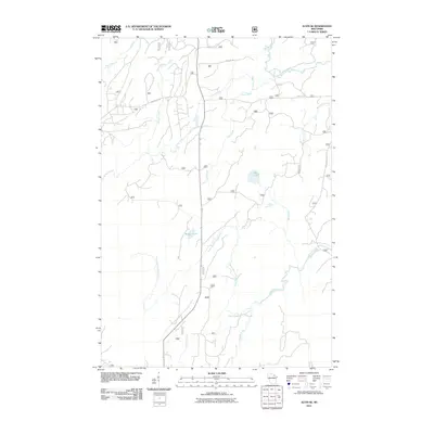
(145)- 2010 Map of Mole Lake, 2010 Print
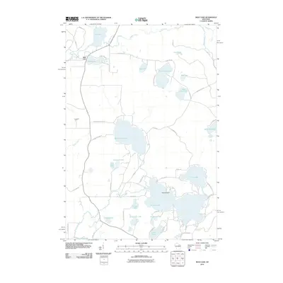 2010 Mole Lake2010 Print · USGSCovers Forest County, including Nashville, Langlade, and other nearby areas
 - 2010 Map of Post Lake, 2010 Print
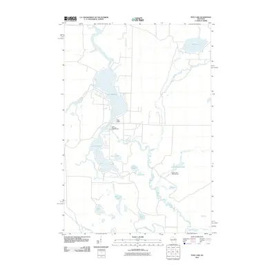 2010 Post Lake2010 Print · USGSCovers Forest County, including Elcho, Nashville, and other nearby areas
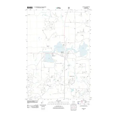
 - 2010 Map of Crandon, 2010 Print
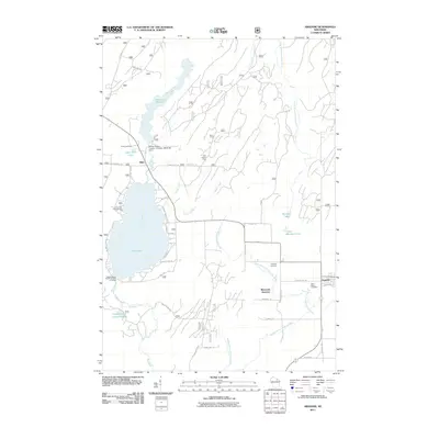
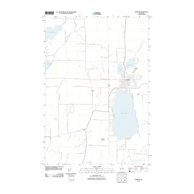 2010 Crandon2010 Print · USGSCovers Forest County, including Crandon, Nashville, and other nearby areas
 - 2010 Map of Nashville, 2010 Print
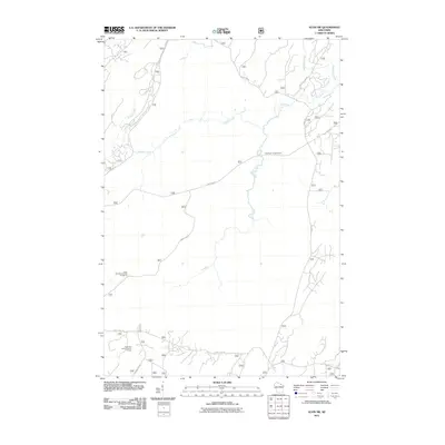
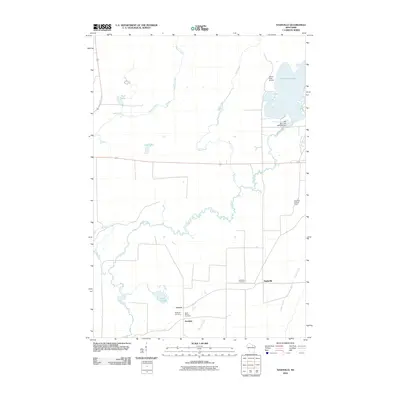 2010 Nashville2010 Print · USGSCovers Forest County, including Nashville, Monico, and other nearby areas
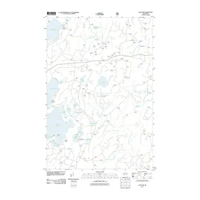
 - 2011 Map of Anvil Lake, 2011 Print
 2011 Anvil Lake2011 Print · USGSCovers Forest County, including Three Lakes, Washington, and other nearby areas
 - 2011 Map of Monico NE, 2011 Print
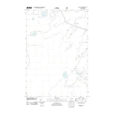 2011 Monico NE2011 Print · USGSCovers Forest County, including Three Lakes, Hiles, and other nearby areas
 - 2011 Map of Julia Lake, 2011 Print
 2011 Julia Lake2011 Print · USGSCovers Forest County, including Three Lakes, Hiles, and other nearby areas
 - 2011 Map of Newald, 2011 Print
 2011 Newald2011 Print · USGSCovers Forest County, including Laona, Fence, and other nearby areas
 - 2011 Map of Alvin SE, 2011 Print
 2011 Alvin SE2011 Print · USGSCovers Forest County, including Argonne, Popple River, and other nearby areas
 - 2011 Map of Laona, 2011 Print
 2011 Laona2011 Print · USGSCovers Forest County, including Laona, Wabeno, and other nearby areas
 - 2011 Map of Blackwell, 2011 Print
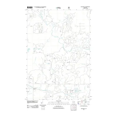 2011 Blackwell2011 Print · USGSCovers Forest County, including Laona, Wabeno, and other nearby areas
 - 2011 Map of Alvin NW, 2011 Print
 2011 Alvin NW2011 Print · USGSCovers Forest County, including Phelps, Argonne, and other nearby areas
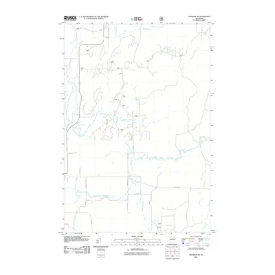
 - 2011 Map of Argonne, 2011 Print
 2011 Argonne2011 Print · USGSCovers Forest County, including Argonne, Hiles, and other nearby areas
 - 2011 Map of Alvin SW, 2011 Print
 2011 Alvin SW2011 Print · USGSCovers Forest County, including Argonne, Hiles, and other nearby areas
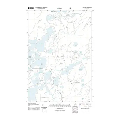
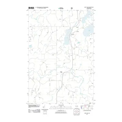
 - 2011 Map of Long Lake, 2011 Print
 2011 Long Lake2011 Print · USGSCovers Forest County, including Fence, Popple River, and other nearby areas
 - 2011 Map of Crandon NE, 2011 Print
 2011 Crandon NE2011 Print · USGSCovers Forest County, including Laona, Argonne, and other nearby areas
 - 2011 Map of Otter Lake, 2011 Print
 2011 Otter Lake2011 Print · USGSCovers Forest County, including Wabeno, Townsend, and other nearby areas
 - 2011 Map of McCaslin Mountain, 2011 Print
 2011 McCaslin Mountain2011 Print · USGSCovers Forest County, including Wabeno, Lakewood, and other nearby areas
 - 2011 Map of Goodman SW, 2011 Print
 2011 Goodman SW2011 Print · USGSCovers Forest County, including Wabeno, Goodman, and other nearby areas
 - 2011 Map of Alvin, 2011 Print
 2011 Alvin2011 Print · USGSCovers Forest County, including Argonne, Alvin, and other nearby areas
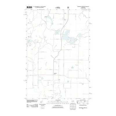
 - 2011 Map of Armstrong Creek, 2011 Print
 2011 Armstrong Creek2011 Print · USGSCovers Forest County, including Goodman, Armstrong Creek, and other nearby areas
 - 2011 Map of Lake Lucerne, 2011 Print
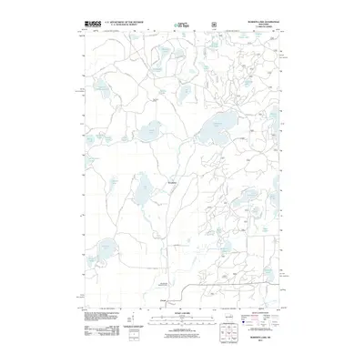
 2011 Lake Lucerne2011 Print · USGSCovers Forest County, including Crandon, Laona, and other nearby areas
 - 2011 Map of Wabeno, 2011 Print
 2011 Wabeno2011 Print · USGSCovers Forest County, including Laona, Wabeno, and other nearby areas
 - 2011 Map of Roberts Lake, 2011 Print
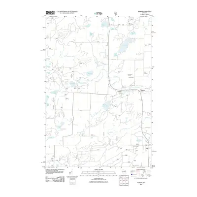
 2011 Roberts Lake2011 Print · USGSCovers Forest County, including Laona, Nashville, and other nearby areas
 - 2011 Map of Lake Gordon, 2011 Print
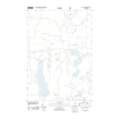
 2011 Lake Gordon2011 Print · USGSCovers Forest County, including Laona, Armstrong Creek, and other nearby areas
Showing maps 1-25 of 145
Top cities of Forest County
- Crandon historical maps
- Laona historical maps
- Wabeno historical maps
- Nashville historical maps
- Argonne historical maps
- Armstrong Creek historical maps
See more
Frequently asked questions
- What are the different types of historical maps available for Forest County?
- What is the oldest map of Forest County?
- Where can I purchase historical maps of Forest County for my home or office?
- Where can I download high-res historical maps of Forest County?
- Are there historical topographic maps available for Forest County?
- Is there historical aerial imagery available for Forest County?
- Where are historical maps of Forest County sourced from?