2010s Maps of Forest County, Wisconsin
Explore 116 historic maps of Forest County from the 2010s. These maps offer a rare glimpse into what life looked like during the 2010s — showing old roads, neighborhoods, homes, and landmarks that have changed or disappeared over time.
Whether you're researching your family's past, planning a metal detecting trip, or studying how Forest County's landscape evolved across the 2010s, these high-resolution maps are a powerful tool for exploring the history of this region.
- Focus on a specific era: All maps on this page are from the 2010s, giving you a focused view of this time period.
- See what’s changed: Compare century-old streets, trails, and buildings to today's modern landscape using overlays and satellite layers.
- Research with precision: Use these maps for genealogy, historical research, land use analysis, or educational projects.
- View, download, or print: Maps are fully viewable online in high resolution, and can be downloaded or printed for your own records.
Start exploring Forest County's history through authentic maps from the 2010s. This is your window into the past.
Forest County, WI maps
(116)- 2010 Map of Mole Lake, 2010 Print
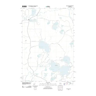 2010 Mole Lake2010 Print · USGSForest County's lake country is captured here during the early twenty-first century, showing the settlement of Mole Lake and its surrounding waters. You can trace local landmarks like the K Lookout Tower or explore the shorelines of Rolling Stone Lake, Crane Lake, and Deadman Lake.
 - 2010 Map of Post Lake, 2010 Print
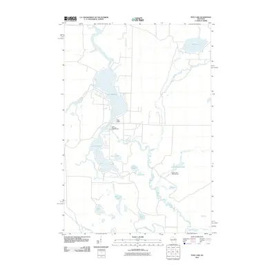 2010 Post Lake2010 Print · USGSUpper Wisconsin lake country is meticulously documented here during the early twenty-first century, centered on the Wolf River and its varied impoundments. Trace local water history through the Upper Post Lake 1866C352 Dam and smaller basins like Aninnan Lake and Bishop Lake.
 - 2010 Map of Crandon, 2010 Print
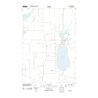 2010 Crandon2010 Print · USGSCrandon was established as a Northwoods hub between the sprawling shores of Metonga Lake and Peshtigo Lake. Researchers can trace the town's footprint near Lakeside Cemetery, locate the rural junction at Sherman Corners, or follow the course of the Wolf River.
 - 2010 Map of Nashville, 2010 Print
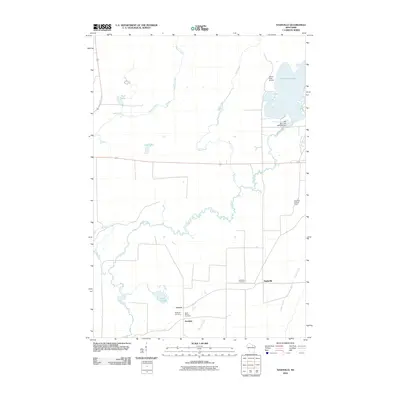 2010 Nashville2010 Print · USGSNashville and the surrounding Forest County timberlands are depicted here in the early 2000s, centered on the meandering Wolf River. Genealogists and historians can trace the rural communities of Lennox and Jennings, alongside local landmarks like Saint Marys Cemetery and the Wolf River Lookout Tower.
 - 2011 Map of Anvil Lake, 2011 Print
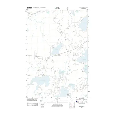 2011 Anvil Lake2011 Print · USGSNorthern Wisconsin lake country is documented here in the early twenty-first century, showing the dense network of water bodies and camps. Trace historic routes along the Military Road or locate the Anvil Lake Lookout Tower.
 - 2011 Map of Monico NE, 2011 Print
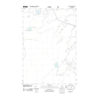 2011 Monico NE2011 Print · USGSOneida County's Northwoods are captured here in the early 21st century, showing the forest and water network near Three Lakes. Researchers can trace the wetlands and roads around Atkins, including Wildcat Creek Impoundment and Margaret Lake.
 - 2011 Map of Julia Lake, 2011 Print
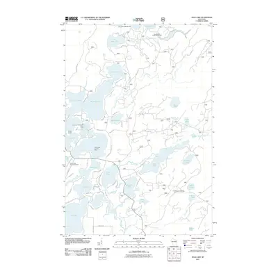 2011 Julia Lake2011 Print · USGSThree Lakes and the surrounding Oneida County lake country are shown at the height of their recreational development in the early 21st century. Trace local landmarks like the Three Lakes Seaplane Base, the Laurel Lake Campground, and the Seven Mile 1909c361 Dam.
 - 2011 Map of Newald, 2011 Print
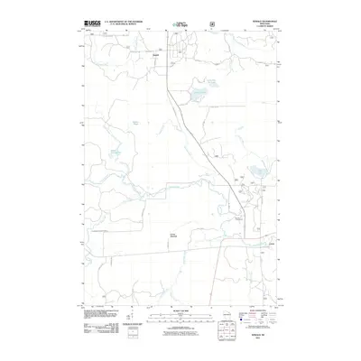 2011 Newald2011 Print · USGSForest County's timber and water networks are on full display in this early 2000s survey of the Wisconsin north woods. Genealogists and historians can trace the rural layout of Newald, find the site of the Consolidated Lookout Tower, and explore the banks of the Peshtigo River.
 - 2011 Map of Alvin SE, 2011 Print
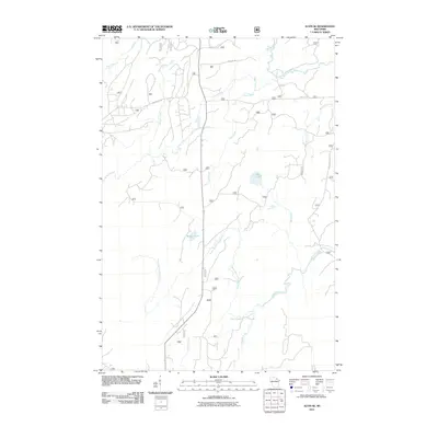 2011 Alvin SE2011 Print · USGSForest County's timberlands and river basins are captured here in the early twenty-first century, showing a remote landscape of winding waterways. Researchers can trace the courses of the Pine River and Popple River, or locate isolated features like Rat Lake.
 - 2011 Map of Laona, 2011 Print
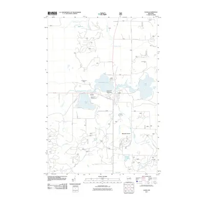 2011 Laona2011 Print · USGSLaona and the surrounding Forest County timberlands appear in detail in this twenty-first-century survey. Genealogists and local historians can trace legacy sites like the Laona Cemetery, the Laona Lookout Tower, and the historic Connor Forest Industries 1897C211 Dam.
 - 2011 Map of Blackwell, 2011 Print
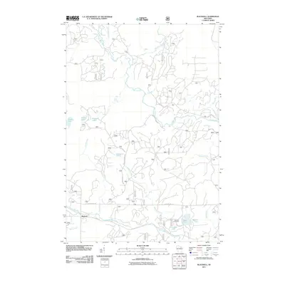 2011 Blackwell2011 Print · USGSThe northern forests of Blackwell, Wisconsin, are documented here just after the first decade of the new millennium. Researchers can trace the water systems of the Peshtigo River and Rat River or locate recreation spots like Bear Lake Campground and Shabodock Lake.
 - 2011 Map of Alvin NW, 2011 Print
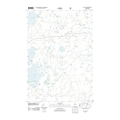 2011 Alvin NW2011 Print · USGSThe Vilas County north woods are captured here at a time when seasonal camps and forest service routes defined the local geography. Researchers can trace the layout of Kentuck Lake Campground or locate historic sites like Griswolds Camp and Forks Dam.
 - 2011 Map of Argonne, 2011 Print
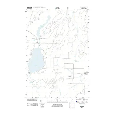 2011 Argonne2011 Print · USGSForest County's timber and water heritage is preserved here as it appeared in 2011. Genealogists and historians can locate the Forster Muller- Lumber Company Dam, Saint Marys Cemetery, and the Hiles Lookout Tower.
 - 2011 Map of Alvin SW, 2011 Print
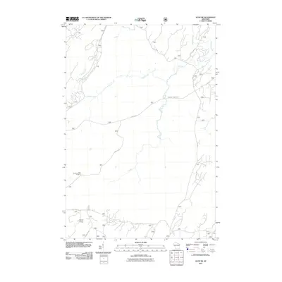 2011 Alvin SW2011 Print · USGSForestry and recreation define this northern Wisconsin landscape in the early 2000s, where the river systems dictate the layout of the woods. Researchers can trace forest access routes like Experimental Rd to landmarks such as the Giant Pine Grove Point of Interest and Pine River Campground.
 - 2011 Map of Long Lake, 2011 Print
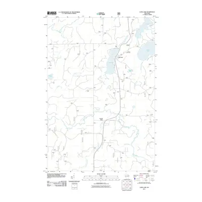 2011 Long Lake2011 Print · USGSLong Lake and the surrounding Florence County woods appear here in the early twenty-first century as a land of interconnected waterways. Researchers can locate family sites near Long Lake Cemetery or trace the drainage from Halsey Lake through Halsey Lake Slough to the Popple River.
 - 2011 Map of Crandon NE, 2011 Print
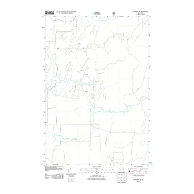 2011 Crandon NE2011 Print · USGSForest County in the early 2000s remains a landscape defined by its intricate river systems and forest service networks. Trace the converging paths of the North Branch Peshtigo River and family-named landmarks like Dick Samz Rd or Schmidt Ln.
 - 2011 Map of Otter Lake, 2011 Print
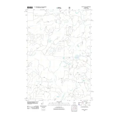 2011 Otter Lake2011 Print · USGSForest County's North Woods are captured here in the early twenty-first century, showing a landscape defined by its rivers and glacial lakes. Researchers can trace historic access routes like Indian Market Rd and locate forest landmarks such as Camp Ten and Otter Lake.
 - 2011 Map of McCaslin Mountain, 2011 Print
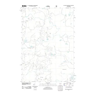 2011 McCaslin Mountain2011 Print · USGSForest County's timberlands and glacial lakes are captured here in the early twenty-first century. Researchers can locate the McCaslin Lookout Tower, trace the waters of the Rat River, and find specific shorelines like Evergreen Lake or the Deer Lake Dam.
 - 2011 Map of Goodman SW, 2011 Print
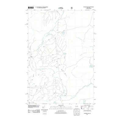 2011 Goodman SW2011 Print · USGSNorthern Wisconsin's timberlands and river corridors are meticulously detailed in this early twenty-first-century survey. Researchers can trace the winding Peshtigo River and locate remote landmarks like Camp Six Lake and the Burnt Bridge Campground.
 - 2011 Map of Alvin, 2011 Print
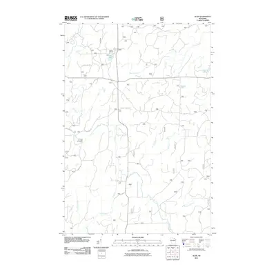 2011 Alvin2011 Print · USGSAlvin and the surrounding Forest County timberlands are captured here in the early twenty-first century. Researchers can trace local landmarks like Lakeview Cemetery, the Pine River Lookout Tower, and the waters of Killborn Lake and Brule Creek.
 - 2011 Map of Armstrong Creek, 2011 Print
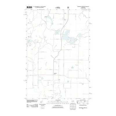 2011 Armstrong Creek2011 Print · USGSNortheastern Wisconsin’s wooded lake country is documented here in the early twenty-first century, centered on the settlement of Armstrong Creek. Family historians can locate Hillside Cemetery and Pine Hill Cemetery, or trace old routes like Goodman Grade Rd.
 - 2011 Map of Lake Lucerne, 2011 Print
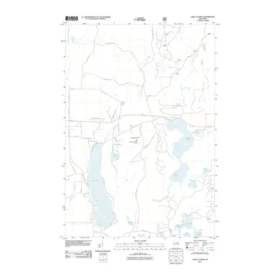 2011 Lake Lucerne2011 Print · USGSForest County's lake-rich landscape is captured here in the early twenty-first century, showing a network of remote waters and timber trails. Researchers can locate landmarks like the Rat Lake Permanent Lookout Station and the shores of Lake Lucerne.
 - 2011 Map of Wabeno, 2011 Print
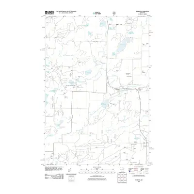 2011 Wabeno2011 Print · USGSForest County's timber and lake country is captured here during the early twenty-first century, centered on the communities of Wabeno and Soperton. Genealogists and historians can trace local family sites at Forest Hill Cemetery and Lakeview Cemetery, or locate the Padus Lookout Tower.
 - 2011 Map of Roberts Lake, 2011 Print
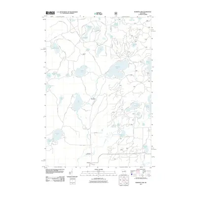 2011 Roberts Lake2011 Print · USGSForest County's Northwoods lake country is captured here in the early twenty-first century, showing a landscape defined by water and timber. Researchers can locate the historical Pig Snout Siding and trace the drainage of the Lily River near Woodlawn.
 - 2011 Map of Lake Gordon, 2011 Print
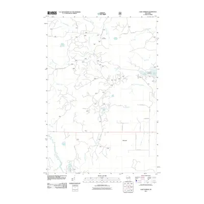 2011 Lake Gordon2011 Print · USGSForest County's timberlands and glacial lakes are captured here during the early twenty-first century. Researchers can locate family landmarks and recreational sites including the Newald Lookout Tower, the settlement of Bonneval, and the Laura-Gordon Lakes Campground.
Showing maps 1-25 of 116
Top cities of Forest County
- Crandon historical maps
- Laona historical maps
- Wabeno historical maps
- Nashville historical maps
- Argonne historical maps
- Armstrong Creek historical maps
See more
Frequently asked questions
- What are the different types of historical maps available for Forest County?
- What is the oldest map of Forest County?
- Where can I purchase historical maps of Forest County for my home or office?
- Where can I download high-res historical maps of Forest County?
- Are there historical topographic maps available for Forest County?
- Is there historical aerial imagery available for Forest County?
- Where are historical maps of Forest County sourced from?