Old Maps of Nashville, Wisconsin for Academic Research
Study the evolution of Nashville with 45 high-resolution historic maps. Whether you're teaching, researching, or modeling changes in land use, these maps provide essential visual documentation of urban, environmental, and geographic change.
- Analyze long-term change: Track patterns in development, transportation, and natural features.
- Ideal for environmental or urban studies: Support academic projects with primary historical map data.
- Use in the classroom or lab: Educators and researchers rely on these maps to bring historical context to life.
These maps are a powerful tool for teaching, research, and visualizing how Nashville has changed over the decades.
Nashville, WI maps
(45)- 1939 Map of Crandon, 1955 Print
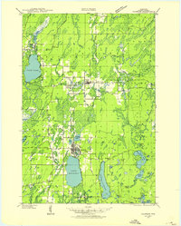 1939 Crandon1955 Print · USGSForest County during the late 1930s was a critical junction of logging railroads and lakeside settlements. Genealogists and historians can trace rural school districts like Siding No 1 Sch and early infrastructure around Wisconsin Junction and Hiles Mill Pond.2 unique versions available
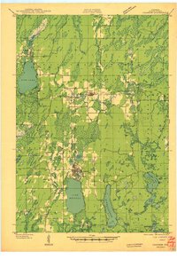
 - 1940 Map of Monico, 1955 Print
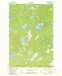
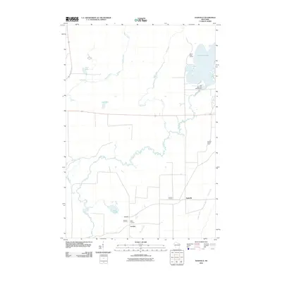
 1940 Monico1955 Print · USGSThe Northwoods of Oneida and Forest counties are captured here just before the mid-century, defined by the crossing of major rail lines and a maze of glacial lakes. Genealogists and researchers can trace the early footprints of Monico, Jennings, and Nashville, or locate local landmarks like Forest Home Cem.
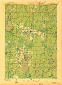
 - 1941 Map of Crandon
 1941 Crandon1941 Print · USGSForest County's timberlands and rail lines are mapped here in the years following the Great Depression. Genealogists can trace rural school locations like Kokoma Sch and the Argonne Cem, while following the old tracks of the St Paul and Sault Ste Marie railroad.
 - 1942 Map of Elcho
 1942 Elcho1942 Print · USGSUpper Wisconsin’s lake country appears here in the early 1940s, showing a landscape of scattered rural schools and forest townships. Genealogists and researchers can trace local roots at the Enterprise Cem, St Johns Ch, or find family landmarks near Pelican Lake.
 - 1942 Map of Pearson
 1942 Pearson1942 Print · USGSNorthern Wisconsin lake country and timberlands are shown in the early 1940s as rail transit still defined the local economy. Genealogists and historians can trace rail stops like Jones Spur, the Woodlawn Sch, and the settlement at Mole Lake.
 - 1947 Map of Crandon
 1947 Crandon1947 Print · USGSForest County's timber and rail economy is on full display in the late 1940s, centered on the crossroads at Crandon. Genealogists can trace family roots through rural landmarks like the Argonne Cem and local schoolhouses including Sherman Sch and Kokoma Sch.
 - 1950 Map of Monico
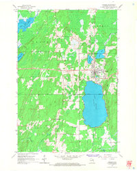
 1950 Monico1950 Print · USGSOneida County at mid-century is a landscape of glacial lakes and critical rail junctions during the height of the timber and transport era. Researchers can trace rural school locations like Wolf River Sch and rail outposts including Starks, Gagen, and Lennox.
 - 1950 Map of Elcho, 1952 Print
 1950 Elcho1952 Print · USGSLanglade and Oneida Counties come into focus during the early fifties, a time when the Chicago and North Western railway still connected these timber-rich lakeside communities. You can trace early township schools like Enterprise Sch, find the Pence Lake Lookout Tower, and locate vanished landmarks along the Old Railroad Grade.3 unique versions available
 - 1950 Map of Lily, 1952 Print
 1950 Lily1952 Print · USGSWisconsin’s northwoods are documented here at mid-century, showing the timber and rail landscape across Langlade and Forest Counties. Genealogists and historians can locate community sites like Pearson Cem, the Arbutus Sch, and the rail stop at Lily.3 unique versions available
 - 1954 Map of Iron Mountain, 1964 Print
 1954 Iron Mountain1964 Print · USGSUpper Michigan and Northeastern Wisconsin are shown in detail during the mid-fifties, when the logging and mining economies still moved by rail. Trace the rail lines of the Soo Line to remote stops like Koepenick Station or explore the Iron Range near Iron Mountain.2 unique versions available
 - 1959 Map of Iron Mountain
 1959 Iron Mountain1959 Print · USGSThe northwoods of Wisconsin and the Michigan border are captured here in the mid-fifties, showing a landscape defined by timber, water, and rail. Researchers can trace historic junctions like Hiles Junction, the expansive Nicolet National Forest, and lakefront settlements from Rhinelander to Tomahawk.2 unique versions available
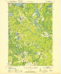
 - 1965 Map of Nashville, 1966 Print
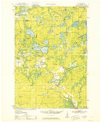
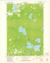
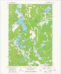
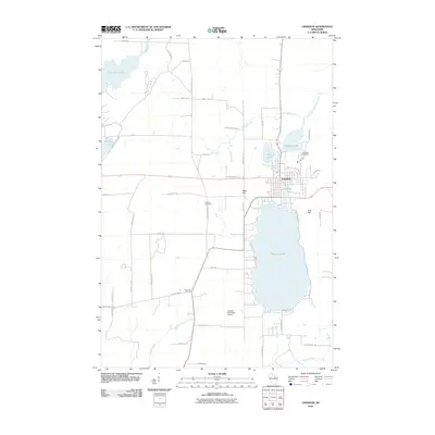
 1965 Nashville1966 Print · USGSOneida and Forest counties in the mid-sixties show a landscape of timber-country settlements and glacial lakes. Genealogists can trace family names at Nashville Cem or Wolfram Cem, while industrial historians can follow the Old Railroad Grade.2 unique versions available
 - 1965 Map of Crandon, 1966 Print
 1965 Crandon1966 Print · USGSForest County in the mid-sixties reveals a landscape defined by timber history and sprawling glacial lakes. Researchers can trace the legacy of the logging era through an Old Railroad Grade and locate family landmarks like Lakeside Cemetery or the rural junction at Sherman Corners.2 unique versions available
 - 1973 Map of Roberts Lake, 1976 Print
 1973 Roberts Lake1976 Print · USGSNorthern Forest County in the early seventies reveals a landscape defined by glacial lakes and the timber-hauling lines of the Soo Line. Genealogists and historians can trace small crossroads like Woodlawn and Freedom Corners tucked between Roberts Lake and the Bog Brook State Wildlife Area.2 unique versions available
 - 1973 Map of Mole Lake, 1976 Print
 1973 Mole Lake1976 Print · USGSThe Mole Lake region of northern Wisconsin is shown in the 1970s as a landscape of glacial lakes and reservation lands. Researchers can trace the Soo Line rail corridor or locate landmarks like the Lookout Tower and Kingdom Hall.
 - 1973 Map of Post Lake, 1977 Print
 1973 Post Lake1977 Print · USGSThe Wolf River corridor in the early 1970s reveals a landscape of interconnected lakes and protected fishery lands. Researchers can trace lakeside developments near Post Lake and locate specific features like Knoke Spring, Spider Creek Flowage, and the Wolf River State Fishery Area.2 unique versions available
 - 1989 Map of Rhinelander, 1990 Print
 1989 Rhinelander1990 Print · USGSThe Wisconsin Northwoods are captured here in the late eighties, showing a landscape defined by water and timber management. Researchers can trace the Soo Line rail corridors and find local landmarks like Rainbow Flowage, Pelican Lake, and the Rhinelander-Oneida Co Airport.
 - 1990 Map of Wabeno, 1991 Print
 1990 Wabeno1991 Print · USGSThe Wisconsin Northwoods in the early nineties is a landscape of deep timber, tribal lands, and glacial lakes. Researchers can trace the Chicago and North Western rail line through lumber towns like Wabeno and Townsend or locate the Lakewood State Fish Hatchery.
 - 1990 Map of Merrill, 1991 Print
 1990 Merrill1991 Print · USGSWisconsin's Northwoods transition from timber industry to recreation in the 1990s, centered on the river corridors of Lincoln and Langlade counties. Genealogists and historians can trace rail history along the Soo Line and Old RR Grade between Merrill and Antigo.
 - 1991 Map of Iron Mountain
 1991 Iron Mountain1991 Print · USGSThe Michigan-Wisconsin borderlands appear here in the early nineties, centered on the industrial corridor along the Menominee River. Local researchers can trace the Soo Line through remote timber settlements or locate mining sites like the Bradley Mine and Trader Mine.
 - 2010 Map of Mole Lake, 2010 Print
 2010 Mole Lake2010 Print · USGSCovers Nashville, including Langlade, Ainsworth, and other nearby areas
 - 2010 Map of Post Lake, 2010 Print
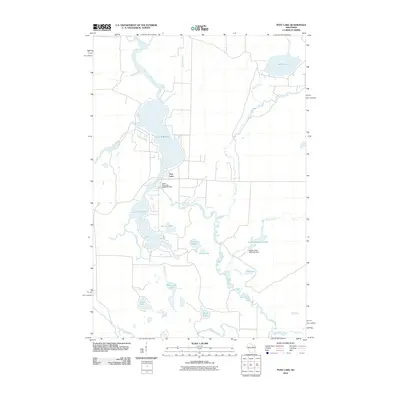 2010 Post Lake2010 Print · USGSCovers Nashville, including Elcho, Ainsworth, and other nearby areas
 - 2010 Map of Crandon, 2010 Print
 2010 Crandon2010 Print · USGSCovers Nashville, including Crandon, Lincoln, and other nearby areas
 - 2010 Map of Nashville, 2010 Print
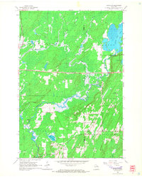
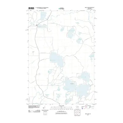
 2010 Nashville2010 Print · USGSCovers Nashville, including Monico, Jennings, and other nearby areas
 - 2011 Map of Roberts Lake, 2011 Print
 2011 Roberts Lake2011 Print · USGSCovers Nashville, including Laona, Langlade, and other nearby areas
Showing maps 1-25 of 45
Top cities near Nashville
- Crandon historical maps
- Laona historical maps
- Elcho historical maps
- Neva historical maps
- Argonne historical maps
- Langlade historical maps
See more
Top neighborhoods of Nashville
Frequently asked questions
- What are the different types of historical maps available for Nashville?
- What is the oldest map of Nashville?
- Where can I purchase historical maps of Nashville for my home or office?
- Where can I download high-res historical maps of Nashville?
- Are there historical topographic maps available for Nashville?
- Is there historical aerial imagery available for Nashville?
- Where are historical maps of Nashville sourced from?