
1950 Map of Elcho
USGS Topo · Published 1952About this map
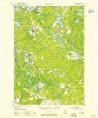
Pelican Lake and its surrounding wetlands anchor this 1950 portrait of the Wisconsin Northwoods, where the Chicago and North Western railway dictates the settlement pattern. From the village of Elcho to the junction at Pratt Junction, the map captures a rural landscape defined by glacial lakes and the winding paths of the Wolf River and Hunting River. The map shows a community structure rooted in local education and service, featuring numerous rural schoolhouses such as Forest Sch and Little Chicago Sch.
Find a feature on this map
104 named features on this map. Tap any name to fly to it.
Don’t see what you’re looking for? This feature index may not catch every label — zoom into the map to look around manually.
Map Details
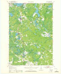
Editions of this 1950 Elcho Map
3 editions found
Other maps of this area

1899 · Wausau
USGS Topo · 1:125,000

1902 · Wausau
USGS Topo · 1:125,000

1939 · Crandon
USGS Topo · 1:48,000

1940 · Parrish
USGS Topo · 1:48,000

1940 · Monico
USGS Topo · 1:48,000

1940 · Rhinelander
USGS Topo · 1:48,000

1941 · Crandon
USGS Topo · 1:48,000

1942 · Elcho
USGS Topo · 1:48,000

1942 · Pearson
USGS Topo · 1:48,000

1947 · Crandon
USGS Topo · 1:48,000