Old Maps of Watertown, Wisconsin for Hiking & Exploration
Hike through history with 35 historic maps of Watertown. Explore old trails, ghost towns, and forgotten backroads — perfect for outdoor adventurers and local explorers.
- Rediscover forgotten places: Map out old mining camps, roads, and footpaths that no longer exist on modern maps.
- Layer with modern tools: Combine with LiDAR or satellite views to plan hikes through historical terrain.
- Made for exploration: Popular among hikers, overlanders, and local history lovers.
Use these maps to find adventure and explore the hidden past of Watertown.
Watertown, WI maps
(35)- 1891 Map of Waterloo
 1891 Waterloo1891 Print · USGSJefferson County was an agricultural and rail landscape during the 1890s, defined by its winding river systems and glacial lakes. Genealogists can trace property locations near Lake Mills, Aztalan, and the Crawfish River during this period of early growth.
 - 1892 Map of Watertown
 1892 Watertown1892 Print · USGSJefferson and Dodge counties at the close of the nineteenth century are defined by their winding river valleys and newly established rail corridors. Genealogists can trace family roots in early settlements like Watertown, Ixonia, and Sullivan, or follow the Rock River to its junction with the Oconomowoc River.
 - 1894 Map of Waterloo
 1894 Waterloo1894 Print · USGSJefferson County was an expanding hub of rail and river commerce in the 1890s as several major lines connected new settlements. You can trace early township boundaries and find the footprints of Lake Mills and Waterloo alongside the Rock River.2 unique versions available
 - 1894 Map of Watertown
 1894 Watertown1894 Print · USGSSouthern Wisconsin at the close of the nineteenth century reveals a landscape shaped by glacial ridges and the iron horse. Genealogists can trace family footprints in settlements like Watertown, Ixonia, and Sullivan, or follow the rail lines that connected Lac La Belle to the wider region.5 unique versions available
 - 1910 Map of Waterloo
 1910 Waterloo1910 Print · USGSJefferson County’s river valleys and rail hubs are preserved here during the Edwardian era. Genealogists and historians can trace the rail-and-river economy through landmarks like Jefferson Junction, Hoopers Mill, and the early shoreline of Rock Lake.2 unique versions available
 - 1957 Map of Madison, 1967 Print
 1957 Madison1967 Print · USGSSouth-central Wisconsin in the mid-fifties reveals a landscape of industrial hubs and glacial lakes linked by a dense rail and highway network. Genealogists and historians can trace the development of lakeside communities and find notable sites like Badger Ordnance Works and the Horicon National Wildlife Refuge.3 unique versions available
 - 1959 Map of Richwood, 1960 Print
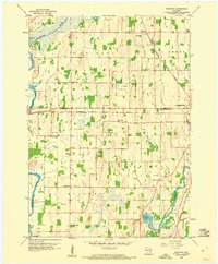 1959 Richwood1960 Print · USGSDodge and Jefferson Counties come alive in the late fifties, showcasing a rural landscape defined by river confluences and the railroad. Researchers can locate many local landmarks, including Mamre Ch Cem, St Marks Sch, and the rail siding at Richwood.2 unique versions available
 - 1959 Map of Helenville, 1961 Print
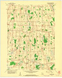 1959 Helenville1961 Print · USGSJefferson County agricultural life is captured here in the late fifties, showing a landscape defined by the Chicago and North Western rail line. Genealogists can locate numerous rural landmarks like Sunshine Sch, Immanuel Ch, and Pioneer Cem.2 unique versions available
 - 1959 Map of Waterloo, 1961 Print
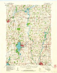 1959 Waterloo1961 Print · USGSJefferson County in the late fifties remains a landscape defined by its river bends and the crossing of major rail lines. Genealogists can locate family landmarks like Moravian Cem and Hoopers Mill, or trace the many rural school districts from Badger Sch to Hilltop Sch.
 - 1959 Map of Jefferson, 1961 Print
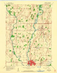 1959 Jefferson1961 Print · USGSJefferson and the surrounding river valleys are captured here in the late fifties, showcasing a landscape where ancient history and modern rail lines meet. Genealogists and historians can trace family sites from Milford to Aztalan, including the Indian Mounds and St Lawrence Ch Cem.2 unique versions available
 - 1959 Map of Watertown, 1961 Print
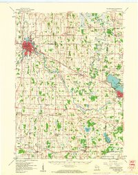 1959 Watertown1961 Print · USGSJefferson and Dodge Counties are captured in the late fifties as a thriving agricultural and rail corridor. Genealogists can trace family roots through numerous sites like Old Lebanon, St Bernard Cem, and rural schoolhouses including High Lawn Sch.3 unique versions available
 - 1959 Map of Watertown, 1961 Print
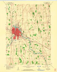 1959 Watertown1961 Print · USGSWatertown and its surrounding townships thrive along the Rock River in the late fifties, during a period of steady industrial and educational growth. Genealogists and local historians can trace family plots at Oak Hill Cemetery and Pilgrims Rest Cem or locate old schoolhouses like Valley Sch.3 unique versions available
 - 1960 Map of Madison
 1960 Madison1960 Print · USGSCentral and Southern Wisconsin are captured in the late fifties, showing the region as its rail-and-river network matured. Trace the paths of the Soo Line RR or locate family roots near Lake Mendota and Horicon National Wildlife Refuge.2 unique versions available
 - 1984 Map of Oconomowoc, 1985 Print
 1984 Oconomowoc1985 Print · USGSSoutheast Wisconsin in the mid-eighties shows a landscape defined by its glacial heritage and expanding metropolitan corridors. Genealogists and historians can trace the development of lakeside communities like Oconomowoc and Pewaukee, or find established settlements such as Watertown and Beaver Dam.
 - 1991 Map of Oconomowoc
 1991 Oconomowoc1991 Print · USGSSoutheastern Wisconsin in the early nineties shows a landscape of glacial lakes and growing suburbs. Trace local history through Aztalan State Park, Carroll College, and the sprawling Horicon Marsh State Wildlife Area.
 - 2010 Map of Jefferson, 2010 Print
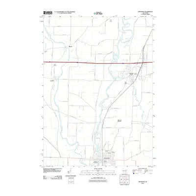 2010 Jefferson2010 Print · USGSJefferson and the surrounding river valleys are captured here in the early twenty-first century as the region balanced growth with its agricultural roots. Genealogists and historians can locate several family burial sites, including Church Hill Cemetery and Aztalan Cemetery, or trace the path of the Glacial Drumlin Trl.
 - 2010 Map of Richwood, 2010 Print
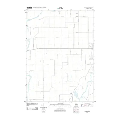 2010 Richwood2010 Print · USGSIn the early twenty-first century, this area near Watertown reveals a landscape shaped by the Rock River and Crawfish River. Researchers can trace old family footprints at Richwood Cemetery and the small settlements of Richwood and Grellton.
 - 2010 Map of Watertown, 2010 Print
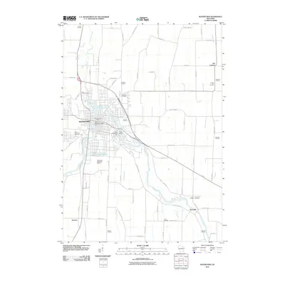 2010 Watertown2010 Print · USGSWatertown and the Rock River valley are captured in this 2010 survey, showcasing the area's mix of urban industry and deep-rooted rural settlements. Researchers can trace dozens of family and church burial sites including Oak Hill and Pilgrims Rest, or locate landmarks like Tivoli Island and the Lower Watertown Dam.
 - 2010 Map of Helenville, 2010 Print
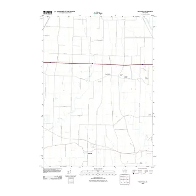 2010 Helenville2010 Print · USGSJefferson County at the start of the decade shows a well-connected agricultural landscape between Farmington and Helenville. Researchers can trace local history through five distinct burial sites, including Pioneer Cemetery and Saint Stephens Cemetery.
 - 2013 Map of Helenville, 2013 Print
 2013 Helenville2013 Print · USGSJefferson County’s agricultural heartland is documented here in the early twenty-first century, centered on the communities of Farmington and Helenville. Researchers can trace local landmarks like Palm Mushroom Cellars, J-3 Cub Field Airport, and Maple Mound Farm.
 - 2013 Map of Jefferson, 2013 Print
 2013 Jefferson2013 Print · USGSJefferson County's river valleys and modern crossroads are documented here in the early twenty-first century. Genealogists and local historians can trace the growth of Jefferson and Johnson Creek alongside landmarks like the Highway 18 Outdoor Theatre.
 - 2013 Map of Watertown, 2013 Print
 2013 Watertown2013 Print · USGSWatertown and its surrounding Jefferson County farmlands are captured in the early twenty-first century as the Rock River shapes the local geography. Trace the development of outlying communities like Old Lebanon, Ebenezer, and Pipersville alongside landmarks like Tivoli Island.
 - 2013 Map of Richwood, 2013 Print
 2013 Richwood2013 Print · USGSThe river systems of southern Wisconsin meet here in the early twenty-first century, featuring the winding Crawfish River and Rock River. Researchers can trace the local road networks surrounding the settlements of Richwood and Grellton, or locate the rural Al's Airway Airport.
 - 2015 Map of Jefferson, 2015 Print
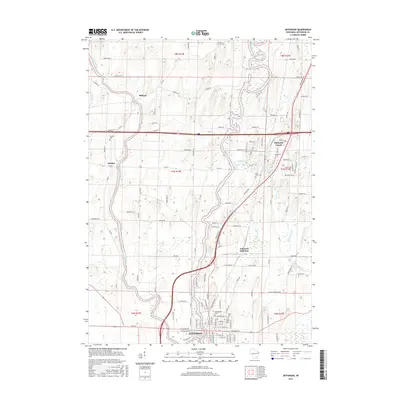 2015 Jefferson2015 Print · USGSThe river confluence at Jefferson and the surrounding townships are captured here in the mid-2010s. Researchers can locate numerous burial sites and transport hubs like Jefferson Junction, Greenwood Cem, and Aztalan Cem.
 - 2015 Map of Watertown, 2015 Print
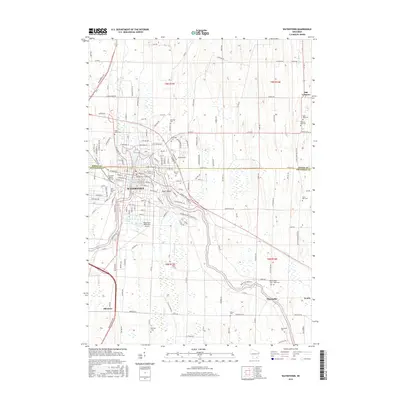 2015 Watertown2015 Print · USGSWatertown and its surrounding hamlets are captured here in the mid-2010s as the Rock River flows through a landscape of deep-rooted river towns and rural parishes. Genealogists can trace family names across a dozen burial grounds including Moravian Cem and Saint Paul Cem, or locate historic sites near Pipersville and Ixonia.
Showing maps 1-25 of 35
Top cities near Watertown
- Watertown historical maps
- Oconomowoc historical maps
- Fort Atkinson historical maps
- Jefferson historical maps
- Lake Mills historical maps
- Summit historical maps
See more
Top neighborhoods of Watertown
Frequently asked questions
- What are the different types of historical maps available for Watertown?
- What is the oldest map of Watertown?
- Where can I purchase historical maps of Watertown for my home or office?
- Where can I download high-res historical maps of Watertown?
- Are there historical topographic maps available for Watertown?
- Is there historical aerial imagery available for Watertown?
- Where are historical maps of Watertown sourced from?