
1894 Map of Watertown
USGS Topo · Published 1894About this map
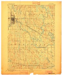
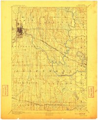
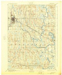
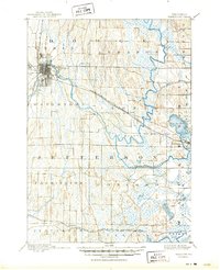
Watertown anchors this late-19th-century landscape, positioned at a significant bend where the Rock River winds through the drumlin-dotted terrain of southern Wisconsin. The map captures a moment when the regional economy was heavily defined by the intersection of waterpower and burgeoning rail lines. The Chicago Milwaukee and St Paul Railroad La Crosse Division cuts diagonally across the quadrangle, passing through Ixonia and Pipersville, while the Chicago and North Western Railroad serves the southern settlements of Helenville and Sullivan.
Find a feature on this map
26 named features on this map. Tap any name to fly to it.
Don’t see what you’re looking for? This feature index may not catch every label — zoom into the map to look around manually.
Map Details
Editions of this 1894 Watertown Map
5 editions found
Other maps of this area

1891 · Waterloo
USGS Topo · 1:62,500

1891 · Koshkonong
USGS Topo · 1:62,500

1892 · Watertown
USGS Topo · 1:62,500

1892 · Oconomowoc
USGS Topo · 1:62,500

1892 · Whitewater
USGS Topo · 1:62,500

1892 · Eagle
USGS Topo · 1:62,500

1893 · Whitewater
USGS Topo · 1:62,500

1894 · Waterloo
USGS Topo · 1:62,500

1894 · Eagle
USGS Topo · 1:62,500

1894 · Koshkonong
USGS Topo · 1:62,500