2000s (21st Century) Maps of Campbell, Wisconsin
Explore 20 historic maps of Campbell from the 2000s (21st Century). These maps offer a rare glimpse into what life looked like during the 2000s — showing old roads, neighborhoods, homes, and landmarks that have changed or disappeared over time.
Whether you're researching your family's past, planning a metal detecting trip, or studying how Campbell's landscape evolved across the 2000s, these high-resolution maps are a powerful tool for exploring the history of this region.
- Focus on a specific era: All maps on this page are from the 2000s, giving you a focused view of this time period.
- See what’s changed: Compare century-old streets, trails, and buildings to today's modern landscape using overlays and satellite layers.
- Research with precision: Use these maps for genealogy, historical research, land use analysis, or educational projects.
- View, download, or print: Maps are fully viewable online in high resolution, and can be downloaded or printed for your own records.
Start exploring Campbell's history through authentic maps from the 2000s. This is your window into the past.
Campbell, WI maps
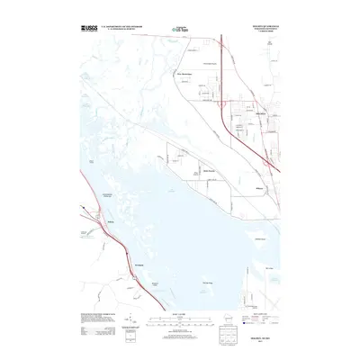
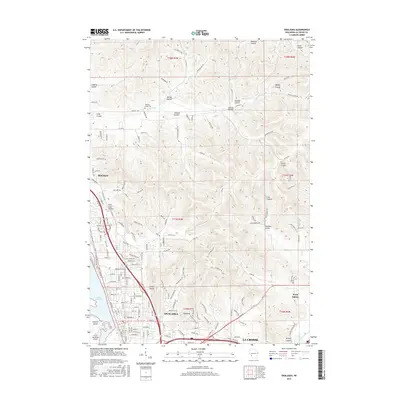
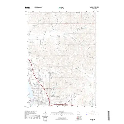
(20)- 2010 Map of Onalaska, 2010 Print
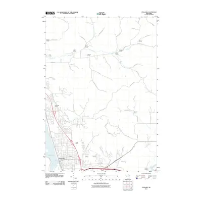 2010 Onalaska2010 Print · USGSCovers Campbell, including La Crosse, Onalaska, and other nearby areas
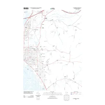
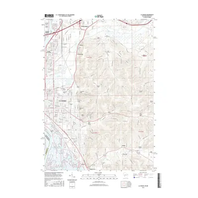
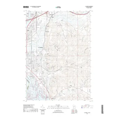
 - 2010 Map of La Crosse, 2010 Print
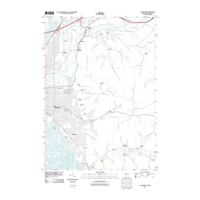 2010 La Crosse2010 Print · USGSCovers Campbell, including La Crosse, Onalaska, and other nearby areas
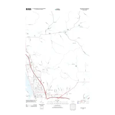
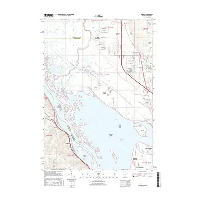
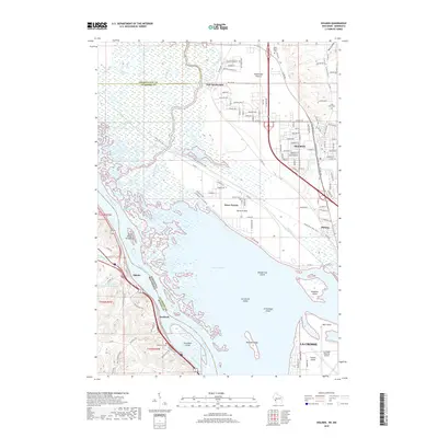
 - 2010 Map of Holmen, 2010 Print
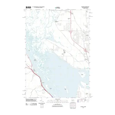 2010 Holmen2010 Print · USGSCovers Campbell, including La Crosse, Holmen, and other nearby areas
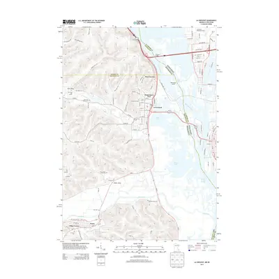
 - 2010 Map of La Crescent, 2010 Print
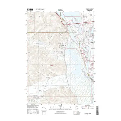
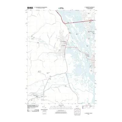 2010 La Crescent2010 Print · USGSCovers Campbell, including La Crosse, La Crescent, and other nearby areas
 - 2013 Map of Holmen, 2013 Print
 2013 Holmen2013 Print · USGSCovers Campbell, including La Crosse, Holmen, and other nearby areas
 - 2013 Map of La Crosse, 2013 Print
 2013 La Crosse2013 Print · USGSCovers Campbell, including La Crosse, Onalaska, and other nearby areas
 - 2013 Map of Onalaska, 2013 Print
 2013 Onalaska2013 Print · USGSCovers Campbell, including La Crosse, Onalaska, and other nearby areas
 - 2013 Map of La Crescent, 2013 Print
 2013 La Crescent2013 Print · USGSCovers Campbell, including La Crosse, La Crescent, and other nearby areas
 - 2015 Map of Onalaska, 2015 Print
 2015 Onalaska2015 Print · USGSCovers Campbell, including La Crosse, Onalaska, and other nearby areas
 - 2015 Map of Holmen, 2015 Print
 2015 Holmen2015 Print · USGSCovers Campbell, including La Crosse, Holmen, and other nearby areas
 - 2015 Map of La Crosse, 2015 Print
 2015 La Crosse2015 Print · USGSCovers Campbell, including La Crosse, Onalaska, and other nearby areas
 - 2016 Map of La Crescent, 2016 Print
 2016 La Crescent2016 Print · USGSCovers Campbell, including La Crosse, La Crescent, and other nearby areas
 - 2018 Map of La Crosse, 2018 Print
 2018 La Crosse2018 Print · USGSCovers Campbell, including La Crosse, Onalaska, and other nearby areas
 - 2018 Map of Onalaska, 2018 Print
 2018 Onalaska2018 Print · USGSCovers Campbell, including La Crosse, Onalaska, and other nearby areas
 - 2018 Map of Holmen, 2018 Print
 2018 Holmen2018 Print · USGSCovers Campbell, including La Crosse, Holmen, and other nearby areas
 - 2019 Map of La Crescent, 2019 Print
 2019 La Crescent2019 Print · USGSCovers Campbell, including La Crosse, La Crescent, and other nearby areas
 - 2022 Map of Onalaska, 2022 Print
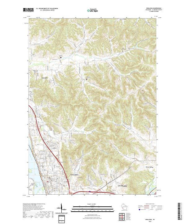 2022 Onalaska2022 Print · USGSLa Crosse County enters the 2020s with a mix of growing river towns and deep-valley farming coulees. Researchers can pinpoint early pioneer burials at Engelson Family Cem or trace the routes of the Great River State Trl and Halfway Creek.
 - 2022 Map of La Crosse, 2022 Print
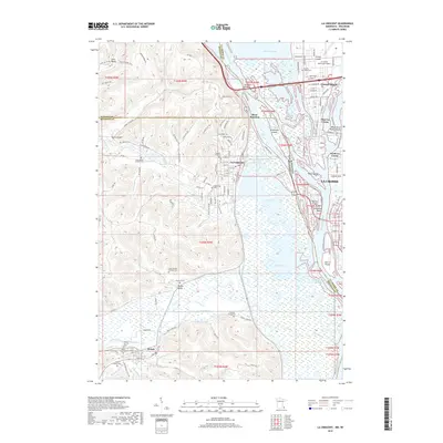
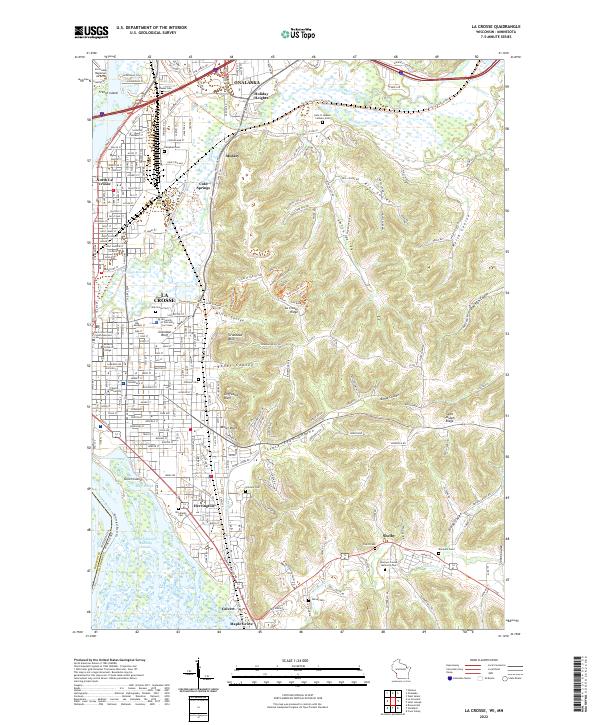 2022 La Crosse2022 Print · USGSLa Crosse and the Mississippi River valley are captured here in the early 2020s, showing the dense urban core and its iconic bluff-side perimeter. Genealogists and local historians can trace the intricate coulee settlements and find landmarks like Woodlawn Cem, Granddad Bluff, and the University of Wisconsin La Crosse.
 - 2022 Map of Holmen, 2022 Print
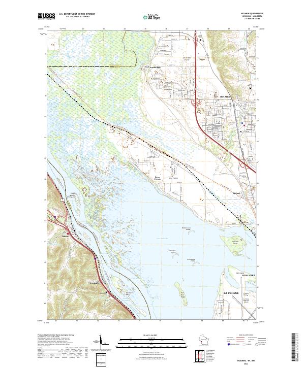 2022 Holmen2022 Print · USGSThe Mississippi River corridor near Holmen is shown here in the early 2020s, featuring the complex wetlands of the Upper Mississippi River Wildlife and Fish Refuge. Researchers can trace land tracts across Amsterdam Prairie or locate family sites at Green Mound Cem and Asbury Cem.
 - 2022 Map of La Crescent, 2022 Print
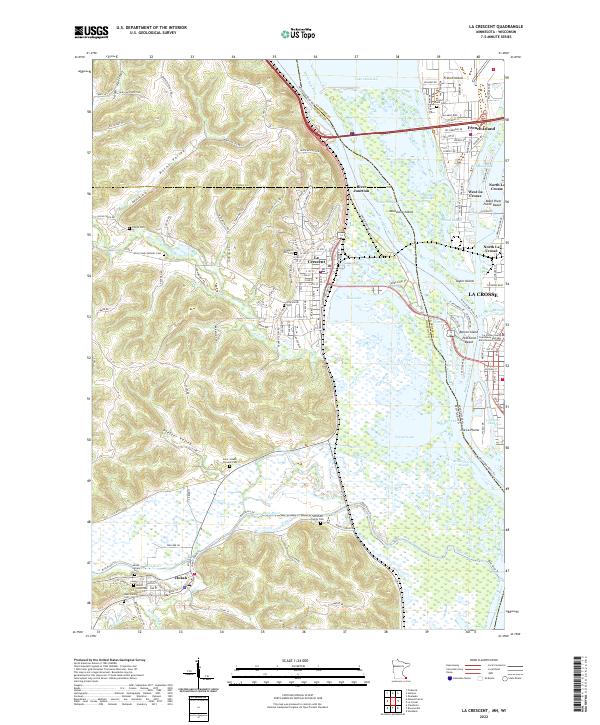 2022 La Crescent2022 Print · USGSThe riverfronts of Minnesota and Wisconsin meet here at the start of the 2020s, showing a landscape defined by braided waterways and bluff-side settlements. Researchers can locate numerous family and parish burial grounds, including the Hoffman Family Cem and Saint Joseph Convent Cem, alongside the industrial rail corridor of the CP Rail.
End of results
Showing maps 1-20 of 20
Top cities near Campbell
- La Crosse historical maps
- Onalaska historical maps
- Holmen historical maps
- West Salem historical maps
- La Crescent historical maps
- Shelby historical maps
See more
Top neighborhoods of Campbell
Frequently asked questions
- What are the different types of historical maps available for Campbell?
- What is the oldest map of Campbell?
- Where can I purchase historical maps of Campbell for my home or office?
- Where can I download high-res historical maps of Campbell?
- Are there historical topographic maps available for Campbell?
- Is there historical aerial imagery available for Campbell?
- Where are historical maps of Campbell sourced from?