1900s (20th Century) Maps of Outagamie County, Wisconsin
Explore 50 historic maps of Outagamie County from the 1900s (20th Century). These maps offer a rare glimpse into what life looked like during the 1900s — showing old roads, neighborhoods, homes, and landmarks that have changed or disappeared over time.
Whether you're researching your family's past, planning a metal detecting trip, or studying how Outagamie County's landscape evolved across the 1900s, these high-resolution maps are a powerful tool for exploring the history of this region.
- Focus on a specific era: All maps on this page are from the 1900s, giving you a focused view of this time period.
- See what’s changed: Compare century-old streets, trails, and buildings to today's modern landscape using overlays and satellite layers.
- Research with precision: Use these maps for genealogy, historical research, land use analysis, or educational projects.
- View, download, or print: Maps are fully viewable online in high resolution, and can be downloaded or printed for your own records.
Start exploring Outagamie County's history through authentic maps from the 1900s. This is your window into the past.
Outagamie County, WI maps
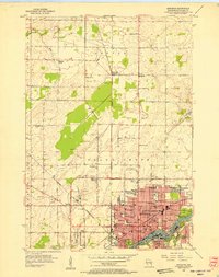
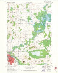
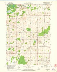
(50)- 1911 Map of Neenah, 1949 Print
 1911 Neenah1949 Print · USGSCovers Outagamie County, including Appleton, Neenah, and other nearby areas
 - 1954 Map of De Pere, 1956 Print
 1954 De Pere1956 Print · USGSCovers Outagamie County, including Green Bay, De Pere, and other nearby areas2 unique versions available
 - 1954 Map of Chilton, 1956 Print
 1954 Chilton1956 Print · USGSCovers Outagamie County, including Harrison, Chilton, and other nearby areas3 unique versions available
 - 1954 Map of Green Bay, 1980 Print
 1954 Green Bay1980 Print · USGSCovers Outagamie County, including Green Bay, Howard, and other nearby areas
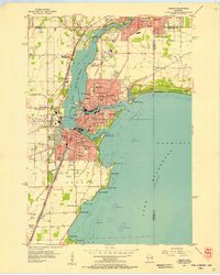
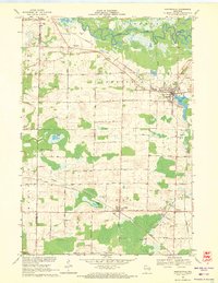
 - 1955 Map of Neenah, 1957 Print
 1955 Neenah1957 Print · USGSCovers Outagamie County, including Appleton, Neenah, and other nearby areas3 unique versions available
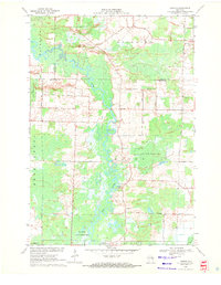
 - 1955 Map of Embarrass, 1957 Print
 1955 Embarrass1957 Print · USGSCovers Outagamie County, including Clintonville, Belle Plaine, and other nearby areas2 unique versions available
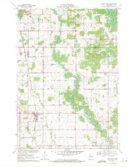
 - 1955 Map of Appleton, 1957 Print
 1955 Appleton1957 Print · USGSCovers Outagamie County, including Appleton, Grand Chute, and other nearby areas3 unique versions available
 - 1955 Map of Appleton, 1957 Print
 1955 Appleton1957 Print · USGSCovers Outagamie County, including Appleton, Grand Chute, and other nearby areas2 unique versions available
 - 1955 Map of Neenah, 1957 Print
 1955 Neenah1957 Print · USGSCovers Outagamie County, including Appleton, Neenah, and other nearby areas3 unique versions available
 - 1955 Map of Seymour, 1957 Print
 1955 Seymour1957 Print · USGSCovers Outagamie County, including Seymour, Pulaski, and other nearby areas3 unique versions available
 - 1955 Map of Green Bay, 1968 Print
 1955 Green Bay1968 Print · USGSCovers Outagamie County, including Green Bay, Appleton, and other nearby areas2 unique versions available
 - 1956 Map of New London, 1958 Print
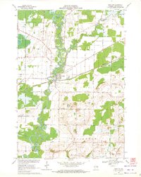
 1956 New London1958 Print · USGSCovers Outagamie County, including Greenville, New London, and other nearby areas
 - 1961 Map of Oshkosh, 1963 Print
 1961 Oshkosh1963 Print · USGSCovers Outagamie County, including Oshkosh, Neenah, and other nearby areas2 unique versions available
 - 1961 Map of Oshkosh NE, 1966 Print
 1961 Oshkosh NE1966 Print · USGSCovers Outagamie County, including Neenah, Fox Crossing, and other nearby areas3 unique versions available
 - 1961 Map of Oshkosh NW, 1966 Print
 1961 Oshkosh NW1966 Print · USGSCovers Outagamie County, including Dale, Winchester, and other nearby areas2 unique versions available
 - 1969 Map of New London, 1971 Print
 1969 New London1971 Print · USGSCovers Outagamie County, including New London, Hortonia, and other nearby areas
 - 1969 Map of Hortonville, 1971 Print
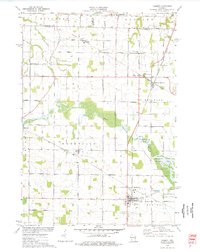
 1969 Hortonville1971 Print · USGSCovers Outagamie County, including New London, Dale, and other nearby areas2 unique versions available
 - 1969 Map of Leeman, 1971 Print
 1969 Leeman1971 Print · USGSCovers Outagamie County, including Navarino, Bovina, and other nearby areas
 - 1969 Map of Bear Creek, 1971 Print
 1969 Bear Creek1971 Print · USGSCovers Outagamie County, including Clintonville, Bear Creek, and other nearby areas
 - 1969 Map of Greenville, 1972 Print
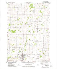
 1969 Greenville1972 Print · USGSCovers Outagamie County, including Greenville, Dale, and other nearby areas2 unique versions available
 - 1969 Map of Shiocton, 1972 Print
 1969 Shiocton1972 Print · USGSCovers Outagamie County, including Shiocton, Bovina, and other nearby areas2 unique versions available
 - 1974 Map of Hilbert, 1977 Print
 1974 Hilbert1977 Print · USGSCovers Outagamie County, including Harrison, Sherwood, and other nearby areas
 - 1974 Map of Seymour, 1977 Print
 1974 Seymour1977 Print · USGSCovers Outagamie County, including Seymour, Cicero, and other nearby areas
 - 1974 Map of Nichols, 1977 Print
 1974 Nichols1977 Print · USGSCovers Outagamie County, including Cicero, Navarino, and other nearby areas
 - 1974 Map of Kaukauna, 1978 Print
 1974 Kaukauna1978 Print · USGSCovers Outagamie County, including Appleton, Grand Chute, and other nearby areas2 unique versions available
Showing maps 1-25 of 50
Top cities of Outagamie County
- Appleton historical maps
- Grand Chute historical maps
- Kaukauna historical maps
- Little Chute historical maps
- Greenville historical maps
- Kimberly historical maps
See more
Frequently asked questions
- What are the different types of historical maps available for Outagamie County?
- What is the oldest map of Outagamie County?
- Where can I purchase historical maps of Outagamie County for my home or office?
- Where can I download high-res historical maps of Outagamie County?
- Are there historical topographic maps available for Outagamie County?
- Is there historical aerial imagery available for Outagamie County?
- Where are historical maps of Outagamie County sourced from?