Old Maps of Outagamie County, Wisconsin for Hiking & Exploration
Hike through history with 70 historic maps of Outagamie County. Explore old trails, ghost towns, and forgotten backroads — perfect for outdoor adventurers and local explorers.
- Rediscover forgotten places: Map out old mining camps, roads, and footpaths that no longer exist on modern maps.
- Layer with modern tools: Combine with LiDAR or satellite views to plan hikes through historical terrain.
- Made for exploration: Popular among hikers, overlanders, and local history lovers.
Use these maps to find adventure and explore the hidden past of Outagamie County.
Outagamie County, WI maps
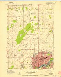
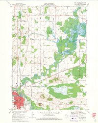
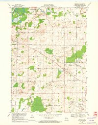
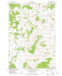
(70)- 1911 Map of Neenah, 1949 Print
 1911 Neenah1949 Print · USGSCovers Outagamie County, including Appleton, Neenah, and other nearby areas
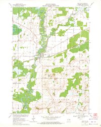
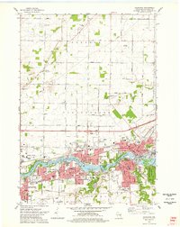
 - 1954 Map of De Pere, 1956 Print
 1954 De Pere1956 Print · USGSCovers Outagamie County, including Green Bay, De Pere, and other nearby areas2 unique versions available
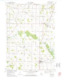
 - 1954 Map of Chilton, 1956 Print
 1954 Chilton1956 Print · USGSCovers Outagamie County, including Harrison, Chilton, and other nearby areas3 unique versions available
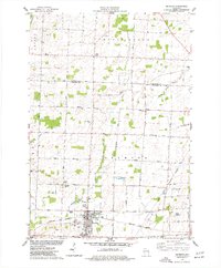
 - 1954 Map of Green Bay, 1980 Print
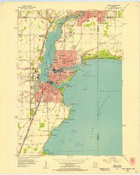
 1954 Green Bay1980 Print · USGSCovers Outagamie County, including Green Bay, Howard, and other nearby areas
 - 1955 Map of Neenah, 1957 Print
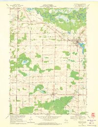
 1955 Neenah1957 Print · USGSCovers Outagamie County, including Appleton, Neenah, and other nearby areas3 unique versions available
 - 1955 Map of Embarrass, 1957 Print
 1955 Embarrass1957 Print · USGSCovers Outagamie County, including Clintonville, Belle Plaine, and other nearby areas2 unique versions available
 - 1955 Map of Appleton, 1957 Print
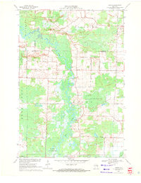
 1955 Appleton1957 Print · USGSCovers Outagamie County, including Appleton, Grand Chute, and other nearby areas3 unique versions available
 - 1955 Map of Appleton, 1957 Print
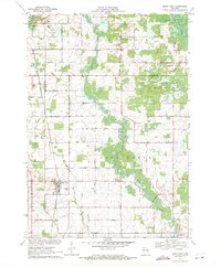
 1955 Appleton1957 Print · USGSCovers Outagamie County, including Appleton, Grand Chute, and other nearby areas2 unique versions available
 - 1955 Map of Neenah, 1957 Print
 1955 Neenah1957 Print · USGSCovers Outagamie County, including Appleton, Neenah, and other nearby areas3 unique versions available
 - 1955 Map of Seymour, 1957 Print
 1955 Seymour1957 Print · USGSCovers Outagamie County, including Seymour, Pulaski, and other nearby areas3 unique versions available
 - 1955 Map of Green Bay, 1968 Print
 1955 Green Bay1968 Print · USGSCovers Outagamie County, including Green Bay, Appleton, and other nearby areas2 unique versions available
 - 1956 Map of New London, 1958 Print
 1956 New London1958 Print · USGSCovers Outagamie County, including Greenville, New London, and other nearby areas
 - 1961 Map of Oshkosh, 1963 Print
 1961 Oshkosh1963 Print · USGSCovers Outagamie County, including Oshkosh, Neenah, and other nearby areas2 unique versions available
 - 1961 Map of Oshkosh NE, 1966 Print
 1961 Oshkosh NE1966 Print · USGSCovers Outagamie County, including Neenah, Fox Crossing, and other nearby areas3 unique versions available
 - 1961 Map of Oshkosh NW, 1966 Print
 1961 Oshkosh NW1966 Print · USGSCovers Outagamie County, including Dale, Winchester, and other nearby areas2 unique versions available
 - 1969 Map of New London, 1971 Print
 1969 New London1971 Print · USGSCovers Outagamie County, including New London, Hortonia, and other nearby areas
 - 1969 Map of Hortonville, 1971 Print
 1969 Hortonville1971 Print · USGSCovers Outagamie County, including New London, Dale, and other nearby areas2 unique versions available
 - 1969 Map of Leeman, 1971 Print
 1969 Leeman1971 Print · USGSCovers Outagamie County, including Navarino, Bovina, and other nearby areas
 - 1969 Map of Bear Creek, 1971 Print
 1969 Bear Creek1971 Print · USGSCovers Outagamie County, including Clintonville, Bear Creek, and other nearby areas
 - 1969 Map of Greenville, 1972 Print
 1969 Greenville1972 Print · USGSCovers Outagamie County, including Greenville, Dale, and other nearby areas2 unique versions available
 - 1969 Map of Shiocton, 1972 Print
 1969 Shiocton1972 Print · USGSCovers Outagamie County, including Shiocton, Bovina, and other nearby areas2 unique versions available
 - 1974 Map of Hilbert, 1977 Print
 1974 Hilbert1977 Print · USGSCovers Outagamie County, including Harrison, Sherwood, and other nearby areas
 - 1974 Map of Seymour, 1977 Print
 1974 Seymour1977 Print · USGSCovers Outagamie County, including Seymour, Cicero, and other nearby areas
 - 1974 Map of Nichols, 1977 Print
 1974 Nichols1977 Print · USGSCovers Outagamie County, including Cicero, Navarino, and other nearby areas
 - 1974 Map of Kaukauna, 1978 Print
 1974 Kaukauna1978 Print · USGSCovers Outagamie County, including Appleton, Grand Chute, and other nearby areas2 unique versions available
Showing maps 1-25 of 70
Top cities of Outagamie County
- Appleton historical maps
- Grand Chute historical maps
- Kaukauna historical maps
- Little Chute historical maps
- Greenville historical maps
- Kimberly historical maps
See more
Frequently asked questions
- What are the different types of historical maps available for Outagamie County?
- What is the oldest map of Outagamie County?
- Where can I purchase historical maps of Outagamie County for my home or office?
- Where can I download high-res historical maps of Outagamie County?
- Are there historical topographic maps available for Outagamie County?
- Is there historical aerial imagery available for Outagamie County?
- Where are historical maps of Outagamie County sourced from?