2020s Maps of Carbon County, Wyoming
Explore 174 historic maps of Carbon County from the 2020s. These maps offer a rare glimpse into what life looked like during the 2020s — showing old roads, neighborhoods, homes, and landmarks that have changed or disappeared over time.
Whether you're researching your family's past, planning a metal detecting trip, or studying how Carbon County's landscape evolved across the 2020s, these high-resolution maps are a powerful tool for exploring the history of this region.
- Focus on a specific era: All maps on this page are from the 2020s, giving you a focused view of this time period.
- See what’s changed: Compare century-old streets, trails, and buildings to today's modern landscape using overlays and satellite layers.
- Research with precision: Use these maps for genealogy, historical research, land use analysis, or educational projects.
- View, download, or print: Maps are fully viewable online in high resolution, and can be downloaded or printed for your own records.
Start exploring Carbon County's history through authentic maps from the 2020s. This is your window into the past.
Carbon County, WY maps
(174)- 2021 Map of Trent Creek, 2021 Print
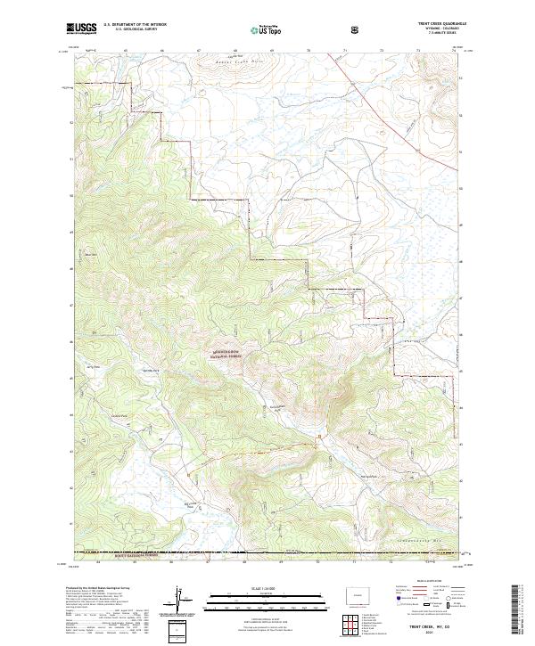 2021 Trent Creek2021 Print · USGSThe Wyoming and Colorado borderlands meet in this modern survey of the high forest country between Carbon and Jackson counties. Researchers can trace the path of the Continental Ditch and locate historical landmarks like Big Creek Park and Independence Mtn.
 - 2021 Map of Tenmile Spring, 2021 Print
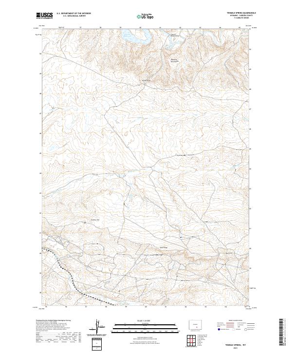 2021 Tenmile Spring2021 Print · USGSCarbon County, Wyoming, is captured here in the early twenty-first century as a landscape of river-fed irrigation and high desert ridges. Researchers can trace historic water management through features like Middle Ditch and Big Ditch, or locate specific landmarks like Tenmile Spring and Brooks Knob.
 - 2021 Map of Barcus Peak, 2021 Print
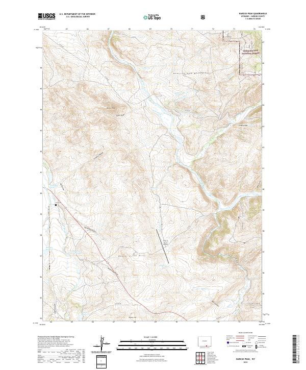 2021 Barcus Peak2021 Print · USGSCarbon County ranching and river life are preserved here in the twenty-first century, showing the irrigation networks along the North Platte River. Researchers can locate the Platt Cem or trace rural aviation history at the A Bar A Ranch Airport.
 - 2021 Map of Pats Bottom, 2021 Print
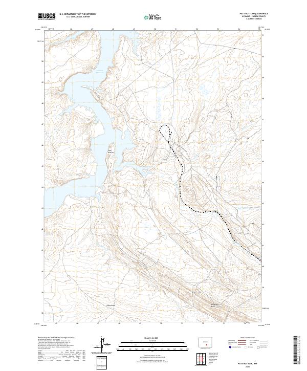 2021 Pats Bottom2021 Print · USGSThis Wyoming landscape in 2021 highlights the intersection of massive water storage and historic irrigation systems. Researchers can trace the extensive network of the Big Ditch and Saint Marys Ditch near the shores of Seminoe Reservoir.
 - 2021 Map of Coad Mountain, 2021 Print
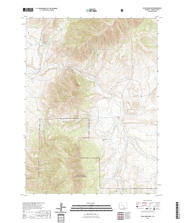 2021 Coad Mountain2021 Print · USGSHigh-altitude ridges and deep basins define this Carbon County landscape in the early twenty-first century. Outdoorsmen and geographers can trace the paths through Oberg Pass or follow the waters of Brush Cr and Pass Cr into the Loco Bottom Basin.
 - 2021 Map of Solomon Creek, 2021 Print
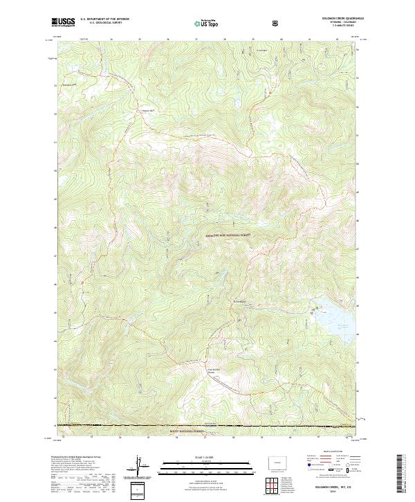 2021 Solomon Creek2021 Print · USGSHigh-country terrain at the Wyoming-Colorado border is captured in the early twenty-first century, showing where the Continental Divide splits the forest. Trace high-altitude pathways like the Verde Mine Trl and explore the alpine reaches of Standard Park.
 - 2021 Map of Carbon, 2021 Print
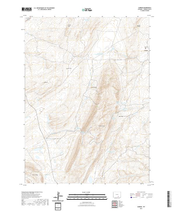 2021 Carbon2021 Print · USGSHigh desert ridges and essential water reservoirs define the landscape of Carbon, Wyoming, in this contemporary survey. Historians and genealogists can trace the footprint of the Carbon settlement and the Carbon Cem while exploring landmarks like Simpson Ridge and Bloody Lake.
 - 2021 Map of Indian Rocks, 2021 Print
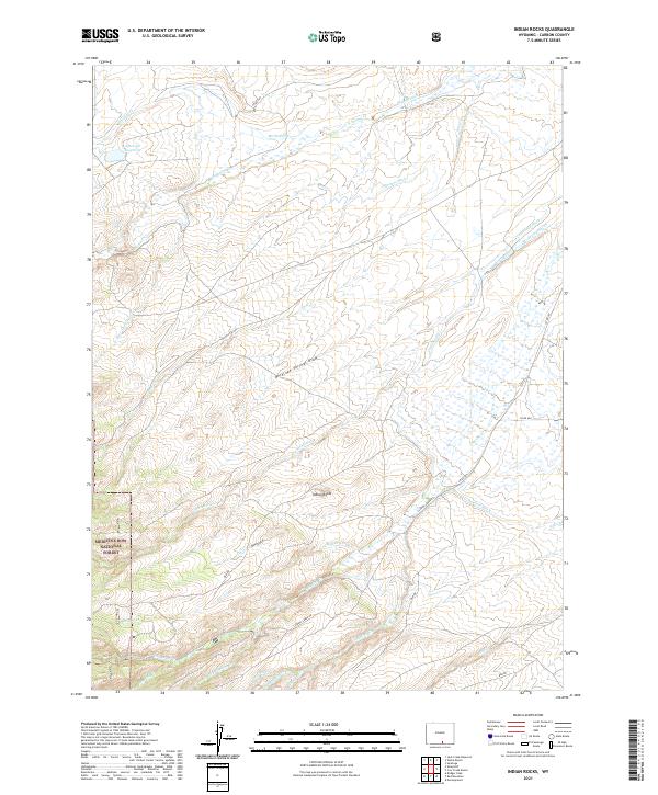 2021 Indian Rocks2021 Print · USGSCarbon County high country in the early 2020s shows a landscape defined by ranching waterworks and timberland. Trace irrigation history through Haines Ditch and explore the edges of the Medicine Bow National Forest near Indian Rocks.
 - 2021 Map of Elkhorn Point, 2021 Print
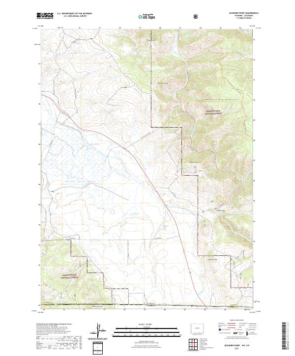 2021 Elkhorn Point2021 Print · USGSThe Wyoming and Colorado borderlands come alive in this recent survey of the southern Medicine Bow Mountains. Historians and outdoorsmen can trace the rugged drainage of the North Platte River and find landmarks like Sixmile Gap and Rock Springs.
 - 2021 Map of Cow Creek Ranch, 2021 Print
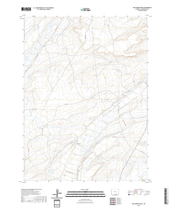 2021 Cow Creek Ranch2021 Print · USGSCarbon County ranchlands are documented here in the early twenty-first century, showing the enduring irrigation infrastructure of the Wyoming high plains. Genealogists and historians can trace family-named water works like Pilson Ditch Number 1 and Waldron Ditch near the Cow Creek Ranch headquarters.
 - 2021 Map of Elk Mountain SW, 2021 Print
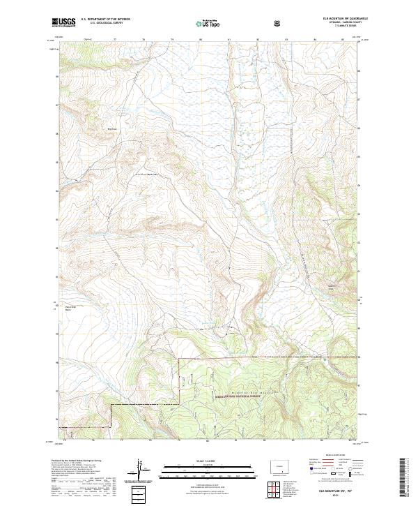 2021 Elk Mountain SW2021 Print · USGSThe northern slopes of the Medicine Bow Mountains in Carbon County appear here in the early twenty-first century. Researchers can trace the intricate irrigation network of the Medicine Bow River and locate landmarks like the Sederlin Slide and Hadsell Slough.
 - 2021 Map of Pine Ridge, 2021 Print
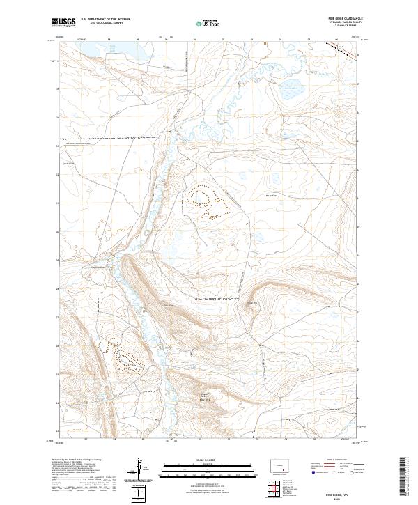 2021 Pine Ridge2021 Print · USGSCarbon County's high plains are documented here in the early 2020s, showing a landscape shaped by the Medicine Bow River and cattle ranching. Researchers can trace irrigation networks like Vandiver Ditch and find named landmarks such as Alligator Rock and Pine Ridge.
 - 2021 Map of Sand Lake, 2021 Print
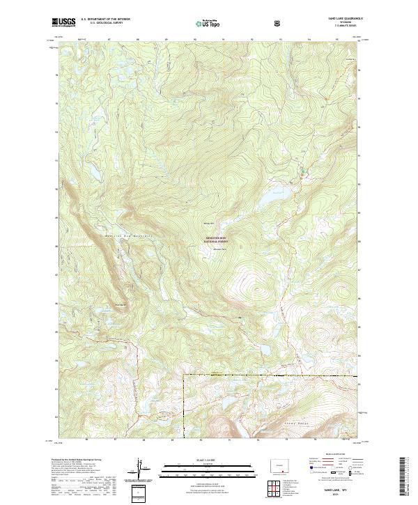 2021 Sand Lake2021 Print · USGSThe high alpine country of Carbon County comes into focus in the early twenty-first century as it spans the heights of the Medicine Bow Mountains. Researchers can trace the legacy of back-country travel along the Sheep Lake Trl or locate landmarks like Stillwater Park and Drillers Lake.
 - 2021 Map of Arlington, 2021 Print
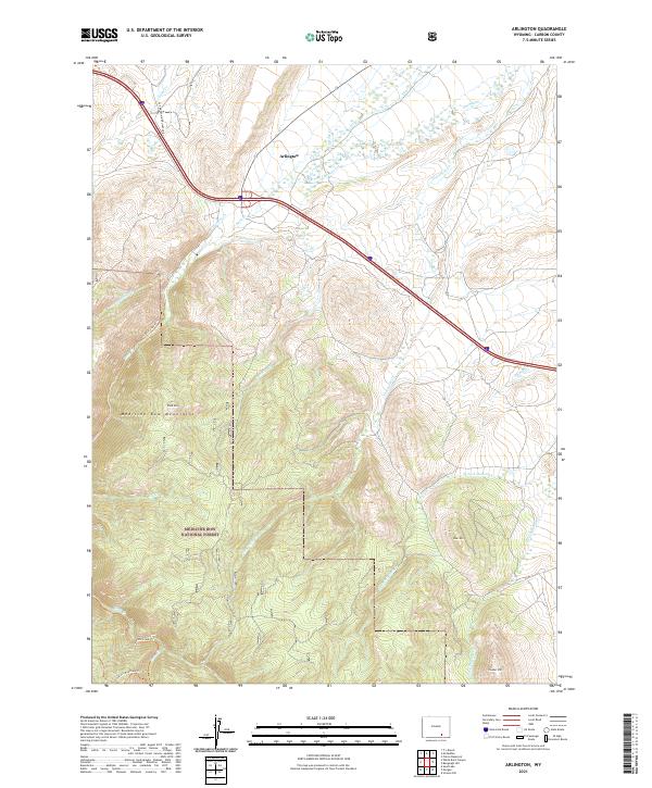 2021 Arlington2021 Print · USGSArlington and the surrounding Carbon County foothills are captured here in the early twenty-first century as the landscape transitions into the high forest. Hikers and historians can trace the Rock Creek Trl into the Medicine Bow National Forest or locate landmarks like Rock Mtn and Cooper Hill.
 - 2021 Map of Dana, 2021 Print
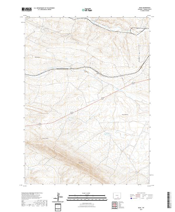 2021 Dana2021 Print · USGSCarbon County’s high basins come into focus in this contemporary survey of the area surrounding Dana. Researchers can trace vital water sources and landforms like Mud Springs Reservoir, Eagle Rock, and the historic Big Ditch.
 - 2021 Map of Blackhall Mountain, 2021 Print
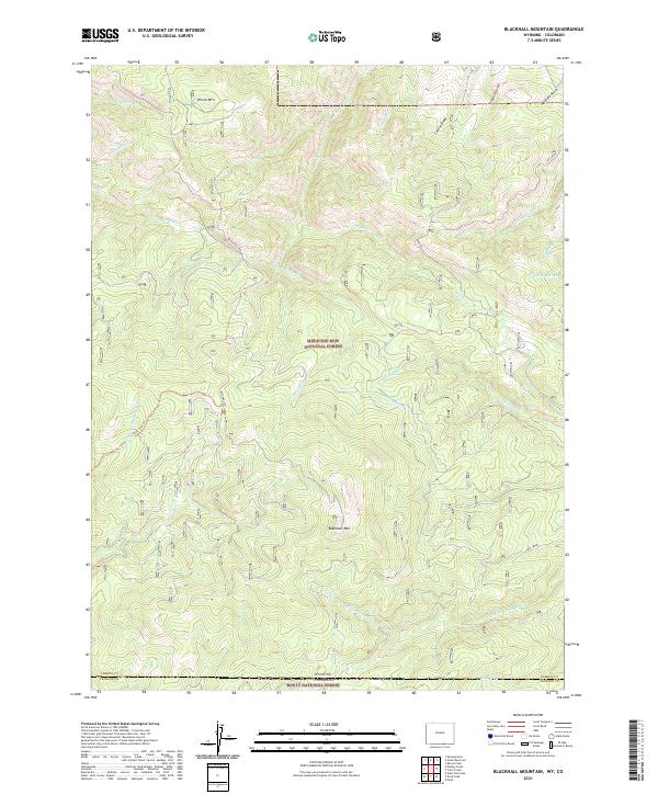 2021 Blackhall Mountain2021 Print · USGSThe Wyoming and Colorado borderlands are captured here in the early twenty-first century, showing the high-country transition between two national forests. Trace the remote drainage of the E Fork Encampment River and the rugged access provided by Black Hall Rd and East Fork Trl.
 - 2021 Map of Finley Reservoir, 2021 Print
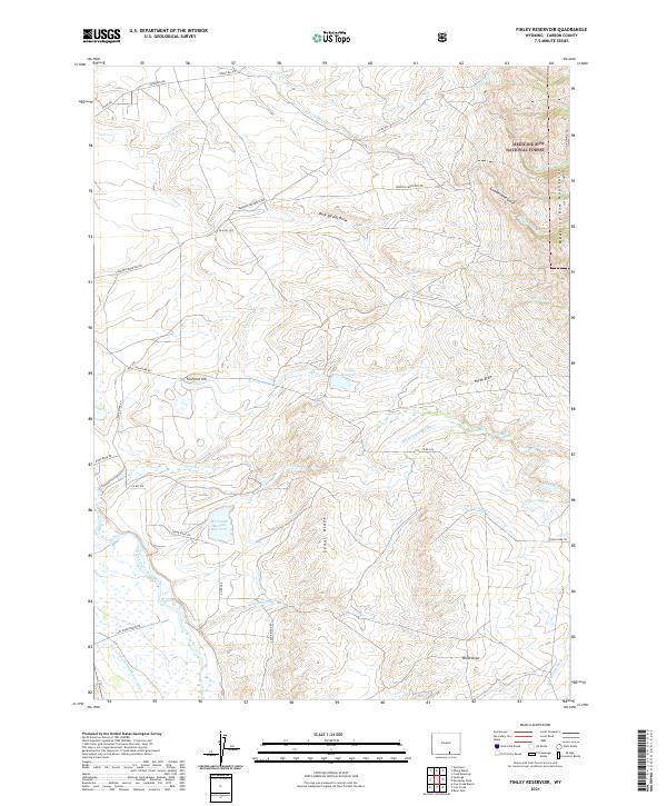 2021 Finley Reservoir2021 Print · USGSCarbon County’s high-country water systems are captured here in the early twenty-first century as they interact with the Medicine Bow National Forest. Researchers can trace intricate irrigation networks like the Wiant Ditch and family-named landmarks such as the Horn and Meason Reservoir.
 - 2021 Map of Turpin Reservoir, 2021 Print
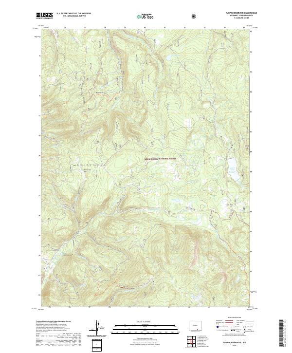 2021 Turpin Reservoir2021 Print · USGSThe Medicine Bow Mountains of Carbon County are shown in 2021 as a high-altitude landscape of reservoirs and alpine parks. Trace the complex network of backcountry routes and drainages like Turpin Park Reservoir, Murky Lake, and the Campbell Lake Atv Trl.
 - 2021 Map of Walcott, 2021 Print
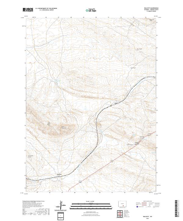 2021 Walcott2021 Print · USGSThe area around Walcott and Edson is documented here in the early twenty-first century, showcasing a landscape of high ridges and vital water sources. Trace family ties or geography near Walcott, Edson, and the prominent Saint Marys Ridge.
 - 2021 Map of White Rock Canyon, 2021 Print
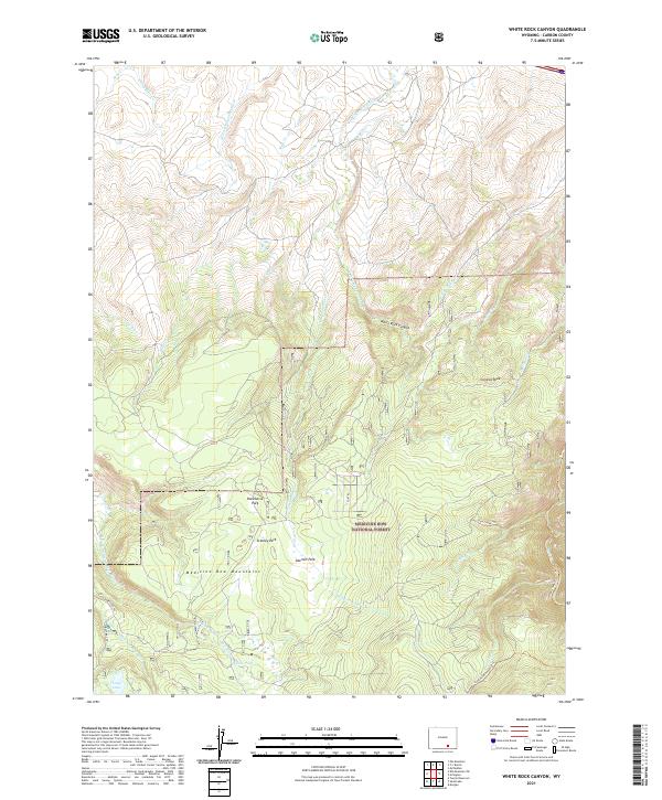 2021 White Rock Canyon2021 Print · USGSHigh within the Medicine Bow National Forest in the 2020s, this area preserves a wilderness of seasonal parks and mountain headwaters. Researchers can trace the paths of the Stud Creek Trl and Rock Creek Trl past landmarks like Conical Peak and Long Lake.
 - 2021 Map of Overlook Hill, 2021 Print
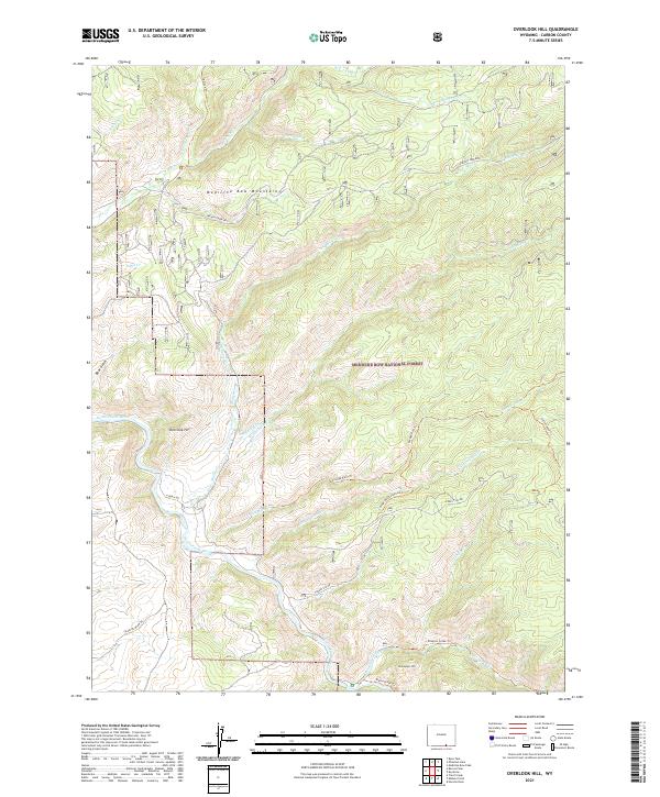 2021 Overlook Hill2021 Print · USGSCarbon County's high-country terrain and river access are captured here during the twenty-first century. Researchers can trace the path of the North Platte River and find landmarks like Overlook Hill, the Hubbell Ditch, and the Tie Hack Trl.
 - 2021 Map of Keystone, 2021 Print
 2021 Keystone2021 Print · USGSThe Medicine Bow Mountains near the Carbon and Albany County line are captured here in their modern forest-management era. Researchers can trace the layout of Keystone, the reach of the Rob Roy Reservoir, and the paths of the Savage Run Trl and Douglas Cr.
 - 2021 Map of Pierce Reservoir, 2021 Print
 2021 Pierce Reservoir2021 Print · USGSAcross the Carbon and Albany County line in the early twenty-first century, this landscape reveals the intricate irrigation networks of Wyoming's high plains. Researchers can trace the water systems that supported local ranching, including Whiskey Number 1 Reservoir, Pierce Reservoir, and the Bosler Ditch Number 3.
 - 2021 Map of Horatio Rock, 2021 Print
 2021 Horatio Rock2021 Print · USGSThe Medicine Bow Mountains along the Wyoming-Colorado border are documented here in the early twenty-first century. Researchers can trace the rugged drainage of the North Platte River and locate landmarks like Horatio Rock and Castle Rock.
 - 2021 Map of McFadden, 2021 Print
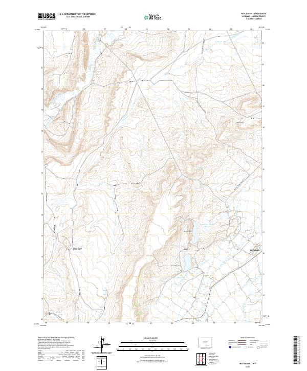 2021 McFadden2021 Print · USGSCarbon County ranching country and the settlement of McFadden are documented here during the early twenty-first century. Researchers can trace historic water management and land use through landmarks like the Thornton Ditch, Willow Springs, and the Upper Foote Creek Flats.
Showing maps 1-25 of 174
Top cities of Carbon County
- Rawlins historical maps
- Saratoga historical maps
- Hanna historical maps
- Encampment historical maps
- Sinclair historical maps
- Baggs historical maps
See more
Frequently asked questions
- What are the different types of historical maps available for Carbon County?
- What is the oldest map of Carbon County?
- Where can I purchase historical maps of Carbon County for my home or office?
- Where can I download high-res historical maps of Carbon County?
- Are there historical topographic maps available for Carbon County?
- Is there historical aerial imagery available for Carbon County?
- Where are historical maps of Carbon County sourced from?