1960s Maps of Carbon County, Wyoming
Explore 80 historic maps of Carbon County from the 1960s. These maps offer a rare glimpse into what life looked like during the 1960s — showing old roads, neighborhoods, homes, and landmarks that have changed or disappeared over time.
Whether you're researching your family's past, planning a metal detecting trip, or studying how Carbon County's landscape evolved across the 1960s, these high-resolution maps are a powerful tool for exploring the history of this region.
- Focus on a specific era: All maps on this page are from the 1960s, giving you a focused view of this time period.
- See what’s changed: Compare century-old streets, trails, and buildings to today's modern landscape using overlays and satellite layers.
- Research with precision: Use these maps for genealogy, historical research, land use analysis, or educational projects.
- View, download, or print: Maps are fully viewable online in high resolution, and can be downloaded or printed for your own records.
Start exploring Carbon County's history through authentic maps from the 1960s. This is your window into the past.
Carbon County, WY maps
(80)- 1960 Map of Craig
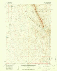
 1960 Craig1960 Print · USGSNorthwest Colorado in the 1950s is a landscape of mountain summits and industrial growth at the headwaters of the West. Genealogists and historians can trace rail-town development along the Denver and Salt Lake line, while locating Uranium Mines and settlements like Craig, Meeker, and Steamboat Springs.
 - 1960 Map of Separation Rim, 1962 Print
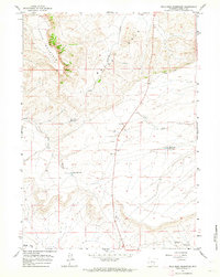
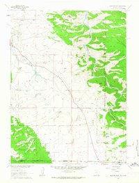
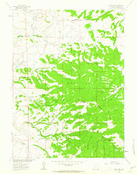
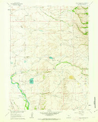
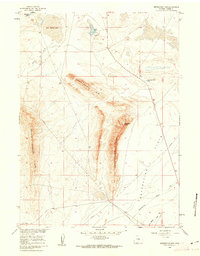 1960 Separation Rim1962 Print · USGSHigh plains and dramatic escarpments define this part of Carbon County in the early sixties. Researchers can trace land use through isolated landmarks like the Strip Mine, the seasonal Soda Lake, and ranching features such as the Corral along the FLATS.2 unique versions available
 - 1960 Map of Bull Springs, 1962 Print
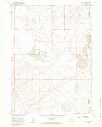
 1960 Bull Springs1962 Print · USGSHigh desert water management and resource exploration define this Sweetwater County landscape during the early sixties. Researchers can trace the path of Stewart Creek between its upper and lower reservoirs or locate named sites like Bull Springs and Coyote Spring.3 unique versions available
 - 1960 Map of Buck Draw, 1962 Print
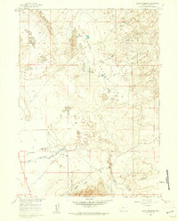
 1960 Buck Draw1962 Print · USGSSweetwater and Carbon counties meet in this arid basin during the early sixties, as the Missouri River Basin project modernized the high plains. Researchers can trace the path of the cross-country Pipeline and locate landmarks like Mud Lake Flats and Mahoney Lakes.3 unique versions available
 - 1960 Map of Boggy Meadows, 1962 Print
 1960 Boggy Meadows1962 Print · USGSCarbon County ranching and water rights come into focus during the early sixties. Researchers can trace the drainage of Separation Creek through the Separation Flats and locate landmarks like Rendle Spring.2 unique versions available
 - 1960 Map of Wild Irish Reservoir, 1964 Print
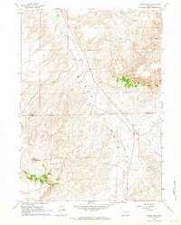
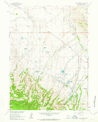
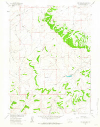
 1960 Wild Irish Reservoir1964 Print · USGSCarbon County’s high-plains landscape comes into focus at the dawn of the 1960s, showing a region defined by water management and mineral potential. Researchers can trace early energy exploration at an Oil Well and locate ranching landmarks like Bates Hole Reservoir and Wild Irish Reservoir.2 unique versions available
 - 1960 Map of Horse Peak, 1964 Print
 1960 Horse Peak1964 Print · USGSHigh ranching country along the border of Natrona and Carbon Counties comes into focus in this early 1960s study. Researchers can trace the legacy of remote homesteads like Body Ranch and Kirk Ranch situated near the waters of Stinking Creek.2 unique versions available
 - 1960 Map of Mud Springs, 1964 Print
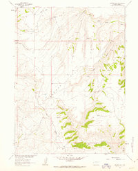
 1960 Mud Springs1964 Print · USGSThe high plains of Natrona and Carbon Counties are shown just as the modern highway system was solidifying in the early sixties. Researchers can trace the water-dependent ranching economy through names like Cronberg Pit Reservoir, Mud Springs, and the Stock Trail.2 unique versions available
 - 1960 Map of Measel Spring Reservoir, 1964 Print
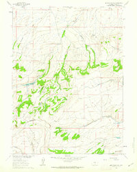
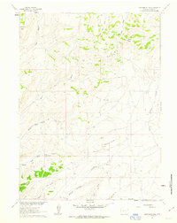
 1960 Measel Spring Reservoir1964 Print · USGSCarbon County ranching lands are captured in the early sixties as they appeared before major industrial shifts. Researchers can trace high-country water sources like Measel Spring Reservoir, Sullivan Reservoir, and the winding Sand Creek.2 unique versions available
 - 1961 Map of Elkhorn Point, 1963 Print
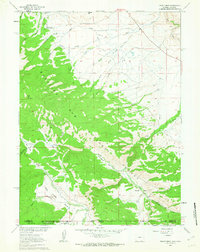
 1961 Elkhorn Point1963 Print · USGSHigh-country ranching and timberlands meet along the Wyoming-Colorado border in the early sixties. Researchers can trace historic water rights via Henry Ditch or locate family landmarks like Big Creek Ranch and Parkview Hill.4 unique versions available
 - 1961 Map of Overlook Hill, 1963 Print
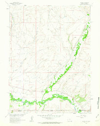
 1961 Overlook Hill1963 Print · USGSCarbon County ranching and water rights take center stage in the early sixties along the North Platte River. Researchers can trace old livestock operations at the A Bar A Ranch and follow the paths of the Pack Trail and Sheep Pack Trail through the high forest.3 unique versions available
 - 1961 Map of Red Mountain, 1963 Print
 1961 Red Mountain1963 Print · USGSThe Sierra Madre mountains of Carbon County are shown in the early sixties, centered on the high Continental Divide. Genealogists and historians can trace the remnants of the mining era at the Battle townsite, Battle Cem, and the Rambler Mine.6 unique versions available
 - 1961 Map of Ryan Park, 1963 Print
 1961 Ryan Park1963 Print · USGSThe high timber and river valleys of Carbon County come into focus in the early sixties as the ranching and forestry economy matured. Researchers can locate remote mountain landmarks like the Dewey Mine, the Brush Creek Sch, and the Medicine Bow Lodge.3 unique versions available
 - 1961 Map of Divide Peak, 1963 Print
 1961 Divide Peak1963 Print · USGSCarbon County's high country is captured here during the early sixties, where the Continental Divide dictates the flow of the land. Researchers can trace the footprints of old mining operations at the Bridger Mine or locate early family holdings at the Hansen Ranch.4 unique versions available
 - 1961 Map of Sand Lake, 1963 Print
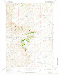
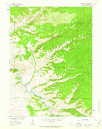
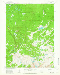 1961 Sand Lake1963 Print · USGSThe Medicine Bow Mountains in the early sixties are presented here as a pristine network of alpine lakes and river headwaters. Researchers can trace remote access routes to the Carlson Park Guard Sta, the Deep Creek Campground, and high peaks like Lookout Mountain.3 unique versions available
 - 1961 Map of Kennaday Peak, 1963 Print
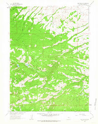
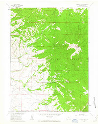 1961 Kennaday Peak1963 Print · USGSHigh in the Medicine Bow Mountains during the early sixties, this area shows a landscape defined by ranching and timber. Genealogists and researchers can locate historic family holdings like the Kennaday Ranch and Breniman Place alongside high-country landmarks like Troublesome Ridge.3 unique versions available
 - 1961 Map of Strouss Hill, 1963 Print
 1961 Strouss Hill1963 Print · USGSThe high Wyoming plains and foothills are captured here in the early sixties, showing a landscape defined by ranching and historic passage. Researchers can trace the Overland Trail or locate isolated homesteads like Mantle Ranch and Bunn Ranch near the Medicine Bow National Forest.3 unique versions available
 - 1961 Map of Finley Reservoir, 1963 Print
 1961 Finley Reservoir1963 Print · USGSIn the early sixties, the ranching country of Carbon County relied on the North Platte River and a complex system of irrigation ditches. Genealogists and historians can trace family-named outposts like Taylor Ranch, Finley Ranch, and Wiant Ranch among the draws of Cedar Ridge.3 unique versions available
 - 1961 Map of Gunst Reservoir, 1963 Print
 1961 Gunst Reservoir1963 Print · USGSCarbon County ranching and water history are captured here in the early sixties as the high country meets the forest. Genealogists and historians can trace family holdings like Anderson Ranch or locate the historic Dunkard Cem and the legendary Cherokee Trail.3 unique versions available
 - 1961 Map of Middlewood Hill, 1963 Print
 1961 Middlewood Hill1963 Print · USGSHigh-altitude ranching and water management define this Carbon County landscape in the early sixties. Researchers can trace the path of the Continental Divide and locate isolated outposts like the Middlewood Ranch or Adams Reservoir.3 unique versions available
 - 1961 Map of Savery, 1963 Print
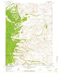
 1961 Savery1963 Print · USGSThe Little Snake River valley at the Wyoming-Colorado border is documented here in the early sixties. Genealogists and local historians can locate the Baker Cem and Reader Cem, while tracing the rural footprints of Savery and Slater.3 unique versions available
 - 1961 Map of Pine Grove Ranch, 1963 Print
 1961 Pine Grove Ranch1963 Print · USGSThe high ranchlands of Carbon County appear here in the early sixties, centered on the Continental Divide. Researchers can trace old water rights and livestock paths near Pine Grove Ranch, the Sage Creek Basin, and Miller.
 - 1961 Map of Browns Hill, 1963 Print
 1961 Browns Hill1963 Print · USGSCarbon County ranching and high-desert terrain are captured in the early sixties before modern developments changed the backcountry. Researchers can trace land use at Stratton Corral, locate the Browning site, and follow old Jeep Trails across Browns Hill.2 unique versions available
 - 1961 Map of Ketchum Buttes, 1963 Print
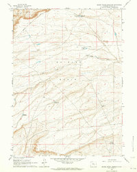
 1961 Ketchum Buttes1963 Print · USGSCarbon County ranching country and high-plains terrain are captured here in the early sixties. Researchers can trace remote Jeep Trails and water sources like Little Savery Creek, Lone Butte, and a solitary mountain prospect.2 unique versions available
 - 1961 Map of Trent Creek, 1963 Print
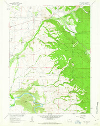
 1961 Trent Creek1963 Print · USGSThe high-country wilderness of the Medicine Bow Range is documented here in the early 1960s, showing the intersection of ranching and forestry. Researchers can find old landmarks like the Big Creek Guard Station, the remote Skyline Ranch, and early mining sites at the Mine and Prospect.3 unique versions available
Showing maps 1-25 of 80
Top cities of Carbon County
- Rawlins historical maps
- Saratoga historical maps
- Hanna historical maps
- Encampment historical maps
- Sinclair historical maps
- Baggs historical maps
See more
Frequently asked questions
- What are the different types of historical maps available for Carbon County?
- What is the oldest map of Carbon County?
- Where can I purchase historical maps of Carbon County for my home or office?
- Where can I download high-res historical maps of Carbon County?
- Are there historical topographic maps available for Carbon County?
- Is there historical aerial imagery available for Carbon County?
- Where are historical maps of Carbon County sourced from?