
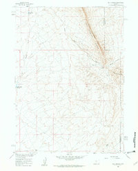
1960 Map of Bull Springs
USGS Topo · Published 1962About this map
Lost Soldier Divide dominates the high ground of the Wyoming high desert, marking a significant topographic boundary along the border of Sweetwater and Carbon counties. This 1960 field-checked survey reveals an arid landscape managed for water storage and mineral potential, documented as part of the Department of the Interior's Missouri River Basin development program. The reliance on water management in this dry environment is evident in the presence of the Upper Water Stewart Creek Reservoir and Lower Water Stewart Creek Reservoir, both situated along the drainage of Stewart Creek. Named water sources like Bull Springs and Coyote Spring serve as critical landmarks below the steep elevation changes of Bull Springs Rim and Coyote Springs Rim. While the terrain remains largely open, a singular Drill Hole and a prominent Pipeline corridor indicate mid-century industrial activity and resource exploration within the basin.
Find a feature on this map
12 named features on this map. Tap any name to fly to it.
Don’t see what you’re looking for? This feature index may not catch every label — zoom into the map to look around manually.
Map Details
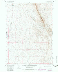
Editions of this 1960 Bull Springs Map
3 editions found
Other maps of this area

1954 · Rawlins
USGS Topo · 1:250,000

1955 · Casper
USGS Topo · 1:250,000

1956 · Rawlins Peak
USGS Topo · 1:62,500

1958 · Rawlins
USGS Topo · 1:250,000

1958 · Casper
USGS Topo · 1:250,000

1960 · Larsen Knoll
USGS Topo · 1:24,000

1960 · Separation Rim
USGS Topo · 1:24,000

1960 · Buck Draw
USGS Topo · 1:24,000

1960 · Chicken Spring
USGS Topo · 1:24,000

1961 · Lamont
USGS Topo · 1:24,000