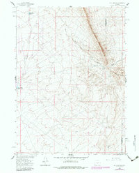
1960 Map of Bull Springs
USGS Topo · Published 1983About this map
Bull Springs Rim and Coyote Springs Rim define the topographic character of this high desert landscape along the border of Sweetwater Co and Carbon Co. Prepared as part of the Department of the Interior's Missouri River Basin development program, the survey documents water management and resource exploration in this arid stretch of Wyoming. Key water features include the Upper Water Stewart Creek Reservoir and Lower Water Stewart Creek Reservoir, which appear alongside the namesake Bull Springs and Coyote Spring. A lonely Drill Hole and a high-tension Pipeline crossing the northern terrain hint at the industrial interest in the area's geology during the mid-century, even as the land remained largely unsettled ranchland.
Find a feature on this map
11 named features on this map. Tap any name to fly to it.
Don’t see what you’re looking for? This feature index may not catch every label — zoom into the map to look around manually.
Map Details
Editions of this 1960 Bull Springs Map
3 editions found
Other maps of this area

1954 · Rawlins
USGS Topo · 1:250,000

1955 · Casper
USGS Topo · 1:250,000

1956 · Rawlins Peak
USGS Topo · 1:62,500

1958 · Rawlins
USGS Topo · 1:250,000

1958 · Casper
USGS Topo · 1:250,000

1960 · Larsen Knoll
USGS Topo · 1:24,000

1960 · Separation Rim
USGS Topo · 1:24,000

1960 · Bull Springs
USGS Topo · 1:24,000

1960 · Buck Draw
USGS Topo · 1:24,000

1960 · Chicken Spring
USGS Topo · 1:24,000