1970s Maps of Carbon County, Wyoming
Explore 32 historic maps of Carbon County from the 1970s. These maps offer a rare glimpse into what life looked like during the 1970s — showing old roads, neighborhoods, homes, and landmarks that have changed or disappeared over time.
Whether you're researching your family's past, planning a metal detecting trip, or studying how Carbon County's landscape evolved across the 1970s, these high-resolution maps are a powerful tool for exploring the history of this region.
- Focus on a specific era: All maps on this page are from the 1970s, giving you a focused view of this time period.
- See what’s changed: Compare century-old streets, trails, and buildings to today's modern landscape using overlays and satellite layers.
- Research with precision: Use these maps for genealogy, historical research, land use analysis, or educational projects.
- View, download, or print: Maps are fully viewable online in high resolution, and can be downloaded or printed for your own records.
Start exploring Carbon County's history through authentic maps from the 1970s. This is your window into the past.
Carbon County, WY maps
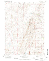
(32)- 1970 Map of South Barrel Spring, 1973 Print
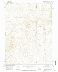
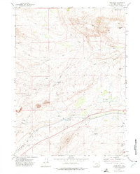
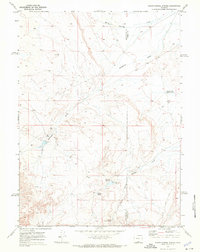 1970 South Barrel Spring1973 Print · USGSSweetwater and Carbon counties appear here in the early 1970s, characterized by isolated water sources and high-desert draws. Researchers can trace remote infrastructure like West Hangout Road and locate critical water points including South Barrel Spring and Dad Dail Reservoir.
 - 1970 Map of Mexican Flats, 1973 Print
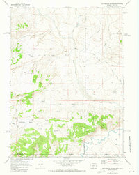
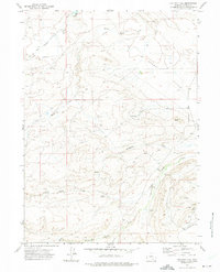
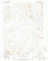 1970 Mexican Flats1973 Print · USGSCarbon County's high plains in the early seventies reveal a landscape of ranching and resource extraction. Genealogists and researchers can trace the Pool Ranch and find remnants of early energy exploration like the Oil Well and Pipeline across Mexican Flats.
 - 1970 Map of Flat Top Mountain, 1973 Print
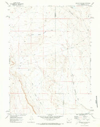
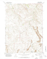
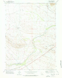
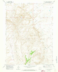 1970 Flat Top Mountain1973 Print · USGSCarbon County ranching country and high-plateau terrain are detailed here as they appeared in the early seventies. Trace the path of the Shell Creek Stock Trail past water landmarks like Patterson Springs and Pocket Reservoir.
 - 1970 Map of Duck Lake, 1973 Print
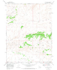
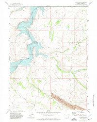
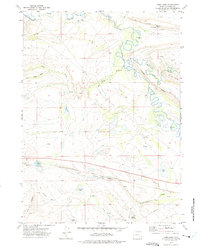
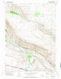
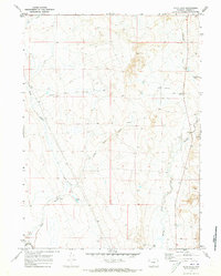 1970 Duck Lake1973 Print · USGSCarbon County ranching and resource lands are shown here as they appeared in the early seventies, centered on the historic OVERLAND TRAIL. Trace the path of westward migration past Pine Butte or locate remote sites like Duck Lake.2 unique versions available
 - 1970 Map of Dripping Rock Spring, 1973 Print
 1970 Dripping Rock Spring1973 Print · USGSThe high desert of Sweetwater and Carbon counties is captured here in the early 1970s, showcasing a landscape of essential water improvements. Researchers can trace historic land use through sites like Hartt Cabin Spring, Courthouse Butte, and numerous remote Drill Hole locations.
 - 1970 Map of Mc Pherson Springs, 1973 Print
 1970 Mc Pherson Springs1973 Print · USGSThe high-country border of Wyoming and Colorado is documented here in the early 1970s, showing a landscape of resource extraction and ranching. Genealogists and historians can trace old stock trails and jeep trails past Mcpherson Springs and the numerous drill holes within the Cherokee Basin.2 unique versions available
 - 1970 Map of Mexican Flats NW, 1973 Print
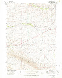
 1970 Mexican Flats NW1973 Print · USGSThe high desert of Sweetwater and Carbon counties is captured here in 1970, showing a landscape defined by western migration and resource exploration. Researchers can trace the path of the Overland Trail as it passes near Coal Bank Lake and the Continental Divide.
 - 1970 Map of Poison Basin, 1973 Print
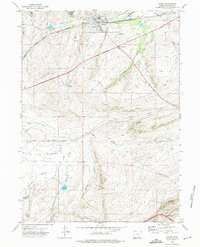
 1970 Poison Basin1973 Print · USGSThe Wyoming and Colorado borderlands in the early seventies reveal an active landscape of energy exploration and high-desert water management. Researchers can trace resource development through various Oil Wells and Mines while locating landmarks like Poison Buttes and the Gibson Blair Ditch.2 unique versions available
 - 1971 Map of Aurora Lake, 1975 Print
 1971 Aurora Lake1975 Print · USGSThe high plains of Albany County come to life in the early seventies, centered on the dramatic escarpments of the Fossil Basin. Genealogists and historians can trace the Carlin Ranch, the Como Bluff Fish Hatchery, and the path of the Old Railroad Grade.
 - 1971 Map of Pats Bottom, 1975 Print
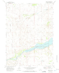
 1971 Pats Bottom1975 Print · USGSThe high plains of Carbon County are defined by water and industry in the early 1970s as the North Platte River fills the reservoir. Local historians can trace old mining interests at Monument Seminoe Mine Ridge and locate family-named features like Pats Bottom.2 unique versions available
 - 1971 Map of Elmo, 1975 Print
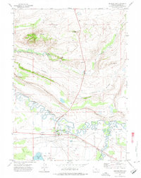
 1971 Elmo1975 Print · USGSThe settlement of Elmo is shown during its industrial peak in the early 1970s, surrounded by coal operations and heavy rail. Researchers can trace the path of the Arch Mineral Corporation Railroad and locate specific sites like the Tipple and Strip Mine.2 unique versions available
 - 1971 Map of Halfway Hill, 1975 Print
 1971 Halfway Hill1975 Print · USGSCarbon County’s industrial landscape is captured here in the early 1970s, showing a high-altitude terrain transitioning from old rail lines to modern oil exploration. Researchers can trace the Old RR Grade or locate the remote Kyle Oil Camp and its nearby Landing Strip.
 - 1971 Map of Dana, 1975 Print
 1971 Dana1975 Print · USGSCarbon County's industrial and rail corridors are captured here in the early seventies, centered on the vital energy infrastructure of Dana. Researchers can trace the Union Pacific Railroad (Dana Spur) to the tipple and Big Dutch Pit.2 unique versions available
 - 1971 Map of Foote Creek Lake, 1975 Print
 1971 Foote Creek Lake1975 Print · USGSThe Carbon and Albany county line in the early seventies shows a landscape defined by the transcontinental rail corridor and high-desert hydrology. Researchers can trace the Union Pacific Railroad Grade and find water features like Foote Creek Lake and Thornton Lake.
 - 1971 Map of Como West, 1975 Print
 1971 Como West1975 Print · USGSCarbon County, Wyoming, during the early seventies is shown here as a landscape shaped by coal and steam. Genealogists and historians can trace the rail network near Sampo and Ramsey or locate family-named features like Hi Allen Spring and Allen Ridge.2 unique versions available
 - 1971 Map of Como East, 1975 Print
 1971 Como East1975 Print · USGSCarbon and the surrounding high plains are captured here in the early seventies, showcasing a region defined by mineral extraction and the Union Pacific line. Researchers can trace the Old Railroad Grade and locate old mining sites like the mines near Como Lake.
 - 1971 Map of Medicine Bow, 1975 Print
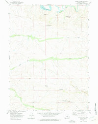
 1971 Medicine Bow1975 Print · USGSMedicine Bow in the early seventies is a hub of railroad and ranching life along the Union Pacific main line. Genealogists and researchers can trace local landmarks like Medicine Bow, the Cem, and outlying sites such as Robbers Roost Ranch.2 unique versions available
 - 1971 Map of Tenmile Spring, 1975 Print
 1971 Tenmile Spring1975 Print · USGSCarbon County’s industrial and desert landscape is captured here in the early seventies, just as large-scale energy extraction was reshaping the terrain. Researchers can trace the massive Strip Mines and Vanguard Mine No. 1 or locate remote landmarks like Wrights Cabin and Tenmile Spring.2 unique versions available
 - 1971 Map of Carbon, 1975 Print
 1971 Carbon1975 Print · USGSThe high plains of Wyoming are captured here in the early seventies, detailing the former coal mining center of Carbon. Local historians can trace the Old Railroad Grade past Percy and locate family-named landmarks like Hi Allen Ridge and Jacks Spring.
 - 1971 Map of Ferris Lake, 1975 Print
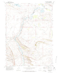
 1971 Ferris Lake1975 Print · USGSIn the early 1970s, the impounded waters of the Wyoming plains defined the landscape of the North Platte valley. Researchers can trace the submerged river channel through Seminoe Reservoir and locate isolated landmarks like Ferris Lake and Dirtyman Draw.
 - 1971 Map of Hanna, 1975 Print
 1971 Hanna1975 Print · USGSIn the early seventies, the Carbon County coal town of Hanna sat at the heart of a high-desert industrial and rail landscape. Genealogists and historians can locate the Cemetery, the Mine Disaster Memorial, and the former site of Old Percy along the old rail grades.2 unique versions available
 - 1971 Map of Pine Ridge, 1975 Print
 1971 Pine Ridge1975 Print · USGSThe Medicine Bow River valley in the early seventies shows a landscape of rail transport, energy exploration, and high-country ranching. Researchers can locate the Union Pacific line, several Oil Wells, and distinctive landmarks like Bible Rock.
 - 1971 Map of Fort Steele, 1975 Print
 1971 Fort Steele1975 Print · USGSCarbon County in the early 1970s shows a landscape shaped by the transcontinental rail corridor and frontier history. Researchers can locate the Fort Fred Steele (Site) and trace the Union Pacific tracks as they wind past Mount Steele and the Cem.
 - 1971 Map of Walcott, 1976 Print
 1971 Walcott1976 Print · USGSIn the early 1970s, Carbon County's high plains reveal an industrial corridor centered on the Walcott rail junction. Researchers can trace the path of the Union Pacific and locate coal-era landmarks like the Seminoe Mine and Saint Marys Ridge.2 unique versions available
 - 1975 Map of Baggs NW, 1978 Print
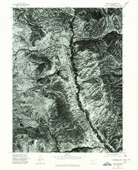 1975 Baggs NW1978 Print · USGSCarbon County, Wyoming, is shown in high-altitude detail in the mid-1970s through this aerial orthophotograph. Local historians and land researchers can trace the winding course of Muddy Creek and identify the topographical features of Robbers Gulch and Pines.
Showing maps 1-25 of 32
Top cities of Carbon County
- Rawlins historical maps
- Saratoga historical maps
- Hanna historical maps
- Encampment historical maps
- Sinclair historical maps
- Baggs historical maps
See more
Frequently asked questions
- What are the different types of historical maps available for Carbon County?
- What is the oldest map of Carbon County?
- Where can I purchase historical maps of Carbon County for my home or office?
- Where can I download high-res historical maps of Carbon County?
- Are there historical topographic maps available for Carbon County?
- Is there historical aerial imagery available for Carbon County?
- Where are historical maps of Carbon County sourced from?