2020s Maps of Converse County, Wyoming
Explore 90 historic maps of Converse County from the 2020s. These maps offer a rare glimpse into what life looked like during the 2020s — showing old roads, neighborhoods, homes, and landmarks that have changed or disappeared over time.
Whether you're researching your family's past, planning a metal detecting trip, or studying how Converse County's landscape evolved across the 2020s, these high-resolution maps are a powerful tool for exploring the history of this region.
- Focus on a specific era: All maps on this page are from the 2020s, giving you a focused view of this time period.
- See what’s changed: Compare century-old streets, trails, and buildings to today's modern landscape using overlays and satellite layers.
- Research with precision: Use these maps for genealogy, historical research, land use analysis, or educational projects.
- View, download, or print: Maps are fully viewable online in high resolution, and can be downloaded or printed for your own records.
Start exploring Converse County's history through authentic maps from the 2020s. This is your window into the past.
Converse County, WY maps
(90)- 2021 Map of Amend Ranch, 2021 Print
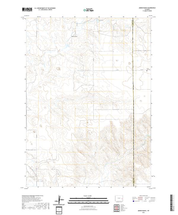 2021 Amend Ranch2021 Print · USGSThe high plains of the Wyoming border country are documented here in the early twenty-first century. Genealogists and researchers can trace rural property lines and landmarks like Prairie View Cem, Amend Ranch, and the winding path of Lost Cr.
 - 2021 Map of Lost Springs, 2021 Print
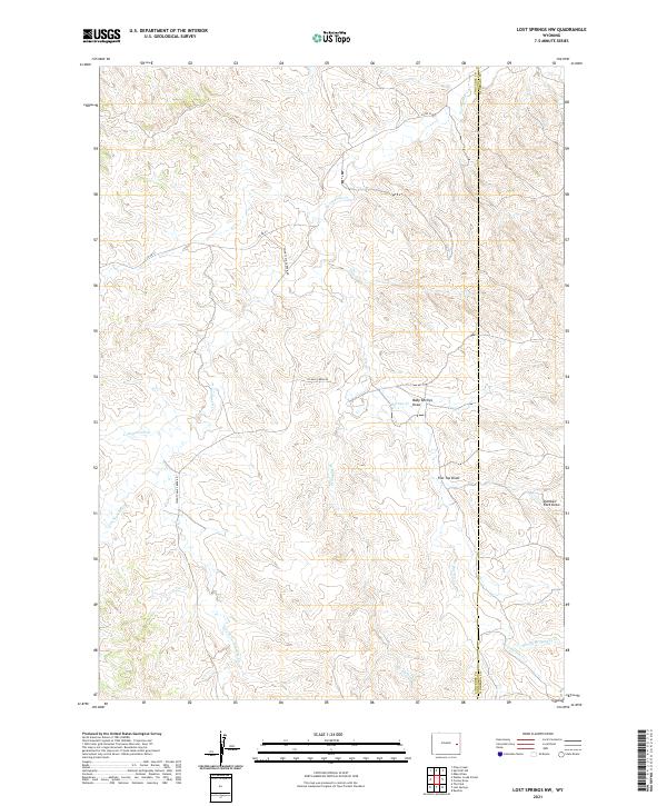
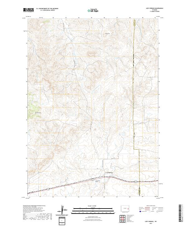 2021 Lost Springs2021 Print · USGSLost Springs sits at the heart of this ranching region in the early twenty-first century, where the county line meets a network of vital prairie drainages. Researchers can trace the paths of Lost Cr and Dip Cr or locate family-named landmarks like Stevenson Draw.
 - 2021 Map of Jewel Springs, 2021 Print
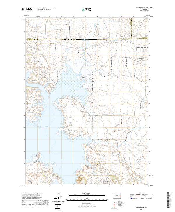 2021 Jewel Springs2021 Print · USGSThe Platte and Converse county borderlands appear in the early 2020s as a high-plains landscape defined by the expansive Glendo Reservoir. Researchers can trace the rugged topography of Sentinel Rock, Rattlesnake Ridge, and the Morris Canyon drainage.
 - 2021 Map of Orpha, 2021 Print
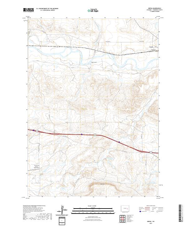 2021 Orpha2021 Print · USGSConverse County ranchlands and river valleys come into focus in this contemporary survey of the area near the North Platte. Researchers can trace the local landscape through landmarks like Orpha, the Chamberlain Brothers Ranch Airport, and Table Mtn.
 - 2021 Map of Irvine, 2021 Print
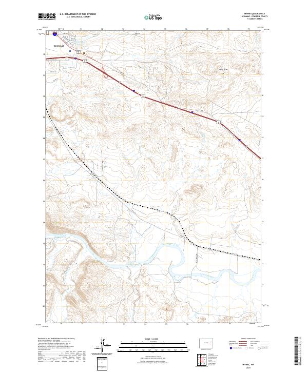 2021 Irvine2021 Print · USGSConverse County at the start of the 2020s shows a landscape of river-valley ranching and modern highway transport. Trace family lands and rural access along Irvine Rd, the banks of the North Platte River, and the outskirts of Douglas.
 - 2021 Map of Careyhurst, 2021 Print
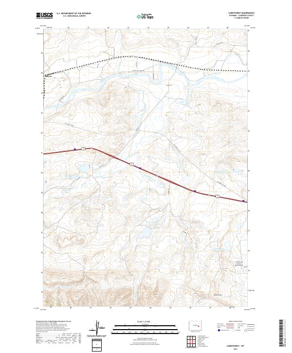 2021 Careyhurst2021 Print · USGSConverse County ranching and river geography are captured here in the early twenty-first century. Researchers can trace historic routes like the Old Douglas Hwy and find family-named landmarks including the Chamberlain Brothers Ranch Airport and Abney Number 1 Reservoir.
 - 2021 Map of Dilts Ranch, 2021 Print
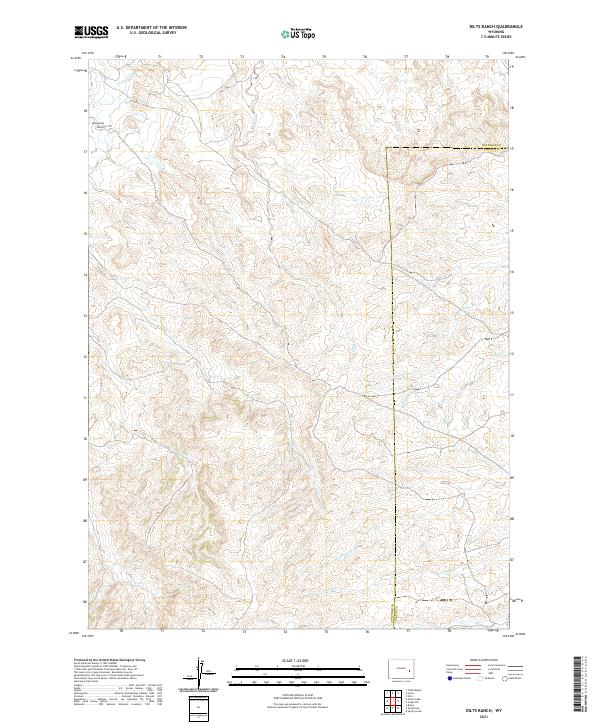 2021 Dilts Ranch2021 Print · USGSConverse County ranching lands and the path of the Emigrant Trail are documented in this recent survey. Researchers can trace local water sources and land divisions near Dilts Ranch, La Bonte Cr, and Sand Creek.
 - 2021 Map of Rock Creek, 2021 Print
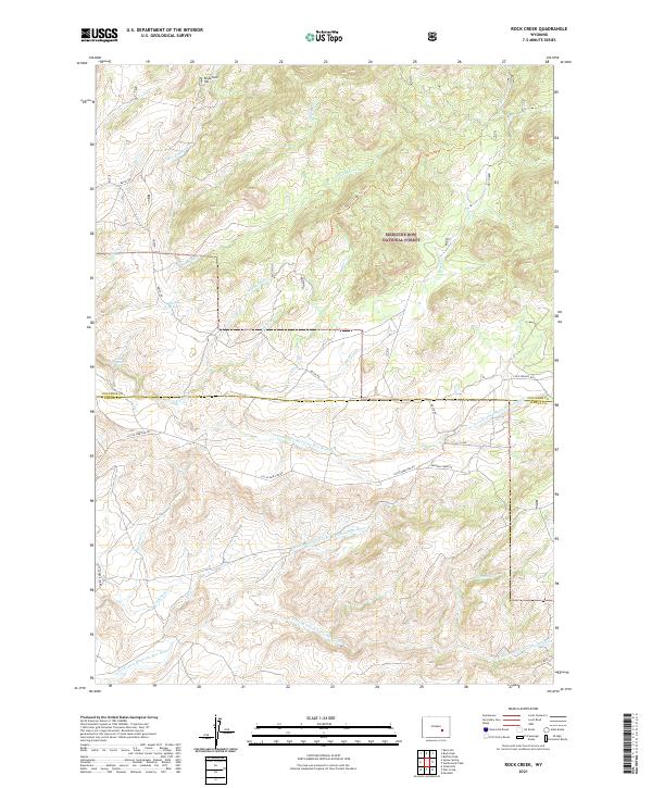 2021 Rock Creek2021 Print · USGSConverse and Albany counties are mapped in this modern survey during a period of preserved wilderness and rural ranching. Genealogists and researchers can trace remote landmarks like Whiskey Springs, Little Medicine Falls, and the headwaters of the S Fork Little Medicine Bow River.
 - 2021 Map of Esterbrook, 2021 Print
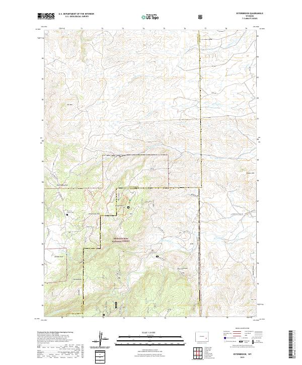 2021 Esterbrook2021 Print · USGSThe Laramie Mountains of Wyoming meet at the borders of Converse, Albany, and Platte counties in this modern survey. Genealogists and hikers can trace remote landmarks like the Norcross Family Cem and the winding Ghost Trl through Medicine Bow National Forest.
 - 2021 Map of Root Creek, 2021 Print
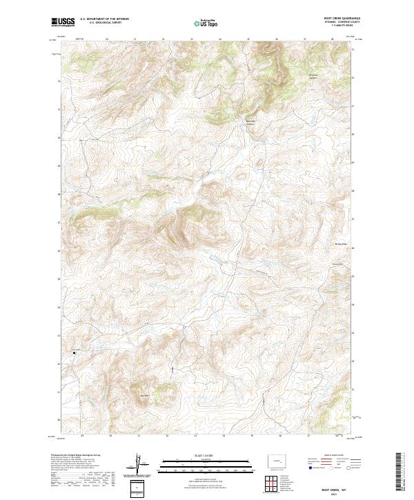 2021 Root Creek2021 Print · USGSConverse County at the start of the 2020s remains a landscape of high ridges and spring-fed creeks. Genealogists and researchers can trace local landmarks like Grant Cem, Lacy Mtn, and the winding paths through Box Elder Canyon.
 - 2021 Map of Douglas, 2021 Print
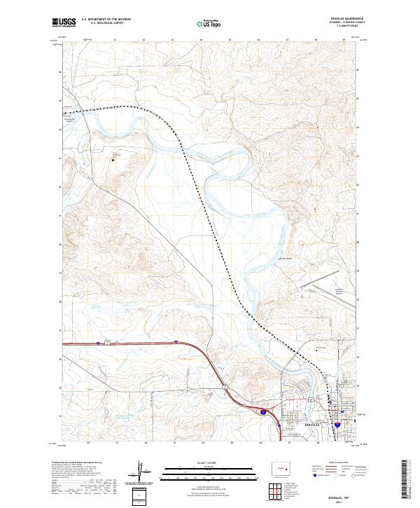 2021 Douglas2021 Print · USGSDouglas and the North Platte River valley are shown here in the early twenty-first century, highlighting a landscape of ranching and aviation. Genealogists can locate several burial sites including Fort Fetterman Cem and Pioneer Cem near the historic river bends.
 - 2021 Map of Protsmans Knob, 2021 Print
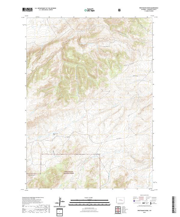 2021 Protsmans Knob2021 Print · USGSConverse County high country is documented in the 2020s, showing the intersection of ranching roads and federal forest lands. Researchers can locate named landmarks like Protsmans Knob, remote water sources at Alphin Spring, and the broad reaches of Duck Creek Flats.
 - 2021 Map of Hylton Ranch, 2021 Print
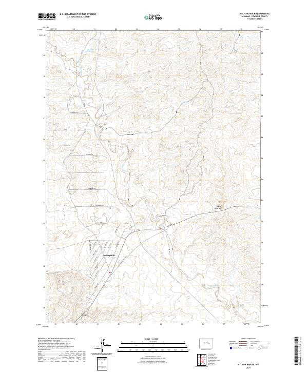 2021 Hylton Ranch2021 Print · USGSConverse County rangeland meets modern residential growth in this contemporary survey of the Wyoming high plains. Genealogists and local historians can trace the development of Rolling Hills and find family-named sites like Hylton Ranch and Monkey Hill.
 - 2021 Map of Antelope Creek, 2021 Print
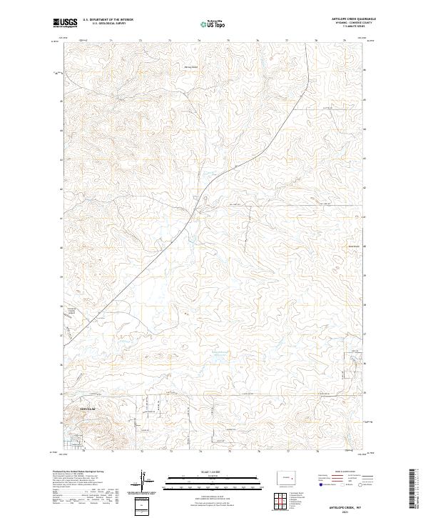 2021 Antelope Creek2021 Print · USGSThe northern edges of Douglas meet the high plains of Converse County in this recent survey. Local historians and land researchers can trace historical named routes like the Kit Carson Trl and Bridger Trl near the Baaken Esmay Reservoir.
 - 2021 Map of Simpson Draw, 2021 Print
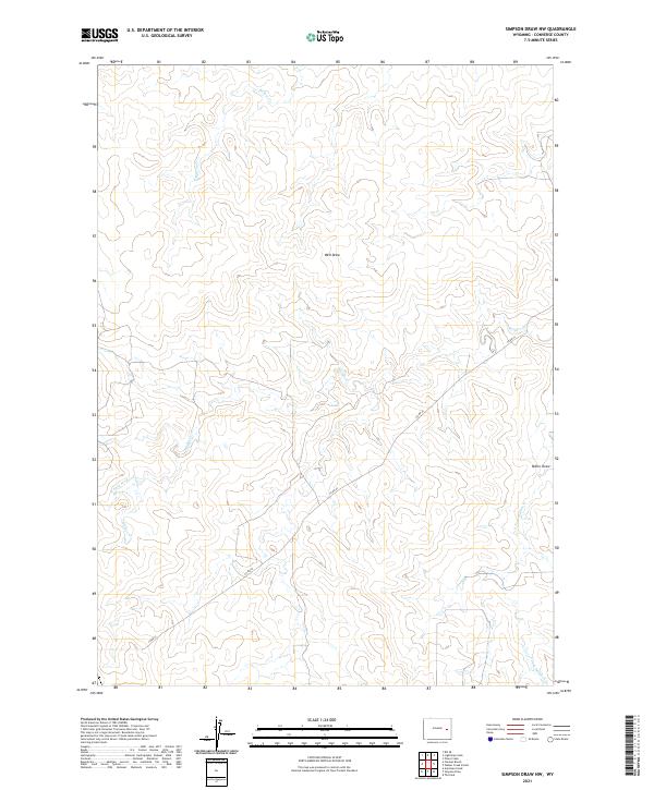
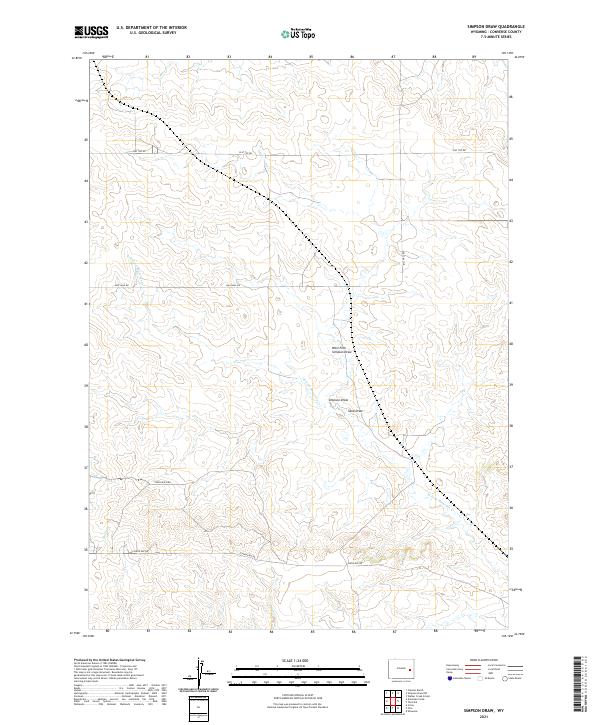 2021 Simpson Draw2021 Print · USGSConverse County ranching country is documented here in the early twenty-first century, showing the enduring grid of the high plains. Researchers can trace the paths of seasonal drainages like Simpson Draw or follow the route of Flat Top Rd and York Ranch Rd.
 - 2021 Map of Poison Lake, 2021 Print
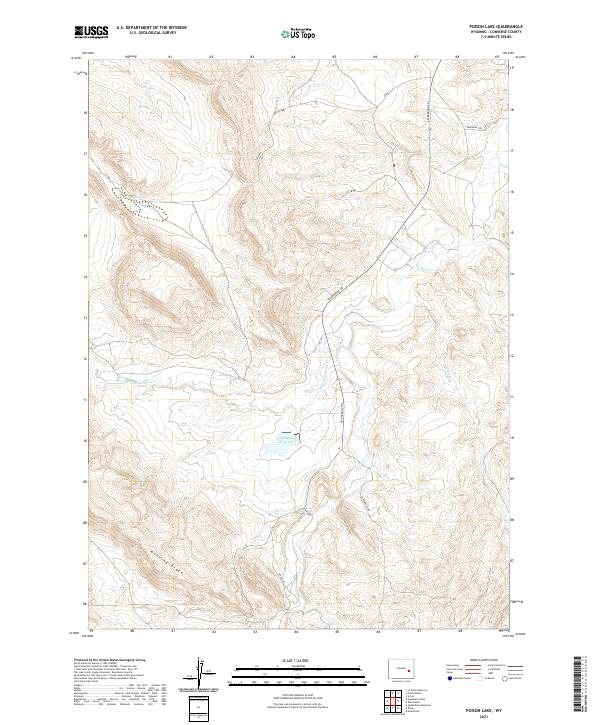 2021 Poison Lake2021 Print · USGSConverse County's high ridges and historical transit corridors are captured in this recent survey of the Wyoming landscape. Researchers can trace the path of the Emigrant Trl or locate landmarks like Poison Lake, Saddleback Reservoir, and Manning Ridge.
 - 2021 Map of Chalk Buttes, 2021 Print
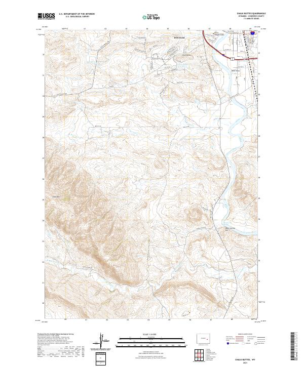 2021 Chalk Buttes2021 Print · USGSThe outskirts of Douglas meet the high plains in this modern survey of the North Platte riverfront. Genealogists and researchers can trace local landmarks like Douglas Hot Springs, the Chalk Buttes Reservoir, and Sheep Mtn.
 - 2021 Map of Glenrock NW, 2021 Print
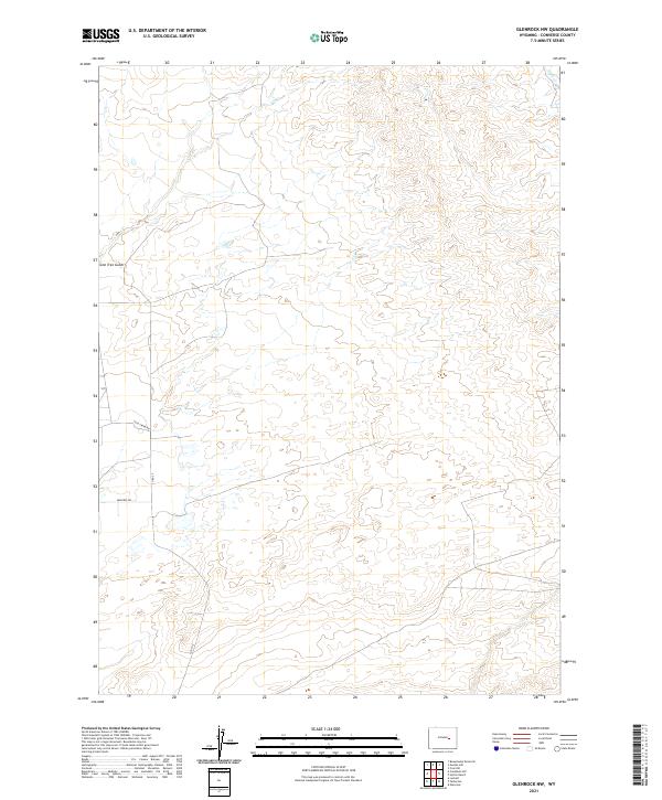 2021 Glenrock NW2021 Print · USGSThe high plains of Converse County are documented in the modern era as a landscape of rural ranch roads and dry washes. Trace the local topography along Cole Creek Rd, Moncref Rd, and the drainage of Lone Tree Gulch.
 - 2021 Map of Simpson Draw NW, 2021 Print
 2021 Simpson Draw NW2021 Print · USGSThe Converse County high plains are captured here in the early twenty-first century, showcasing a landscape of isolated ranching and rural infrastructure. Genealogists and historians can locate Clausen Ranch and the Walker Creek School along the winding path of CO RD 43.
 - 2021 Map of Buck Peak, 2021 Print
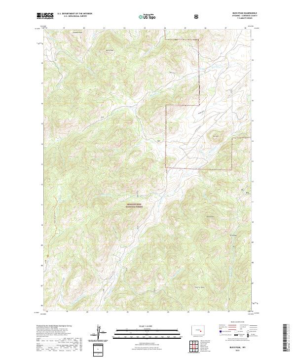 2021 Buck Peak2021 Print · USGSThe Laramie Range foothills come to life in this 2021 survey, showing the high-country drainages and peaks of southern Converse County. Researchers can trace land features from Buck Peak and Cherry Mountain to the remote course of Box Elder Creek.
 - 2021 Map of Lost Springs NW, 2021 Print
 2021 Lost Springs NW2021 Print · USGSConverse County ranching country is documented here in the early twenty-first century as it straddles the Niobrara County line. Researchers can trace the winding paths of Twentymile Cr and identify named landmarks like Baby Springs Draw or Dumbell Rock Draw.
 - 2021 Map of Maneater Creek, 2021 Print
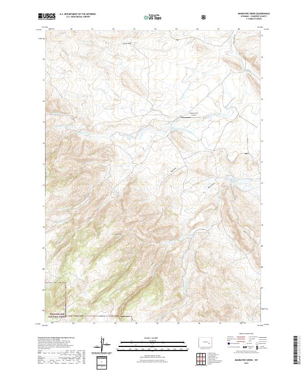 2021 Maneater Creek2021 Print · USGSConverse County ranching lands and federal forests meet in this modern survey of the Wyoming high country. Researchers can trace historic water rights and infrastructure like the George Nagle Ditch or locate landmarks like the Wagonhound Airport.
 - 2021 Map of Ireton Draw, 2021 Print
 2021 Ireton Draw2021 Print · USGSConverse County's high plains are documented here in the early 2020s, showing the vast grazing lands of the Thunder Basin National Grassland. Researchers can trace the seasonal drainage systems of Ireton Draw and Shelden Draw or the path of Esau Rd.
 - 2021 Map of Beauchamp Reservoir, 2021 Print
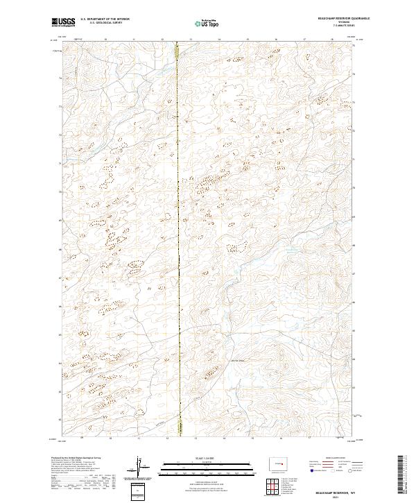 2021 Beauchamp Reservoir2021 Print · USGSThe borderlands of Natrona and Converse counties are captured here in the early twenty-first century, showing a remote landscape of ranching and high-plains water management. Researchers can trace rural infrastructure through Beauchamp Reservoir, the drainage of Derrick Draw, and the path of Sage Creek.
 - 2021 Map of Walker Creek School, 2021 Print
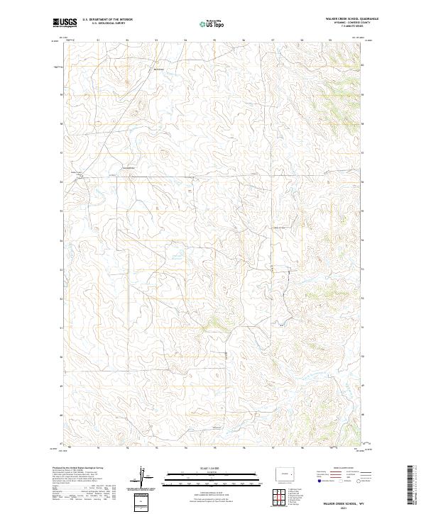 2021 Walker Creek School2021 Print · USGSConverse County ranching country is captured here in the early twenty-first century, showing the enduring rural layout of the northern plains. Genealogists and historians can locate the Walker Creek School and trace the paths of Piney Cr and CO RD 53.
Showing maps 1-25 of 90
Top cities of Converse County
- Douglas historical maps
- Glenrock historical maps
- Rolling Hills historical maps
- Rolling Hills historical maps
- Lost Springs historical maps
Frequently asked questions
- What are the different types of historical maps available for Converse County?
- What is the oldest map of Converse County?
- Where can I purchase historical maps of Converse County for my home or office?
- Where can I download high-res historical maps of Converse County?
- Are there historical topographic maps available for Converse County?
- Is there historical aerial imagery available for Converse County?
- Where are historical maps of Converse County sourced from?