1960s Maps of Converse County, Wyoming
Explore 22 historic maps of Converse County from the 1960s. These maps offer a rare glimpse into what life looked like during the 1960s — showing old roads, neighborhoods, homes, and landmarks that have changed or disappeared over time.
Whether you're researching your family's past, planning a metal detecting trip, or studying how Converse County's landscape evolved across the 1960s, these high-resolution maps are a powerful tool for exploring the history of this region.
- Focus on a specific era: All maps on this page are from the 1960s, giving you a focused view of this time period.
- See what’s changed: Compare century-old streets, trails, and buildings to today's modern landscape using overlays and satellite layers.
- Research with precision: Use these maps for genealogy, historical research, land use analysis, or educational projects.
- View, download, or print: Maps are fully viewable online in high resolution, and can be downloaded or printed for your own records.
Start exploring Converse County's history through authentic maps from the 1960s. This is your window into the past.
Converse County, WY maps
(22)- 1960 Map of Ross, 1962 Print
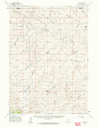 1960 Ross1962 Print · USGSThe high plains of Converse County are shown here in the early sixties, a landscape where the legendary Bozeman Trail still leaves its mark. Genealogists and local historians can locate remote family outposts like Spearhead Ranch, the Bozeman Trail Monument, and the settlement at Ross.2 unique versions available
 - 1960 Map of Banner Mtn, 1965 Print
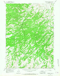
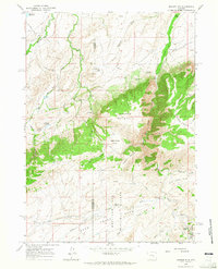 1960 Banner Mtn1965 Print · USGSHighland ranching and forest lands define this Wyoming territory at the start of the 1960s. Researchers can trace remote family outposts like Rissler Ranch and Kimball Ranch or locate the Banner Landing Strip tucked near the peaks.2 unique versions available
 - 1960 Map of Reno Hill, 1965 Print
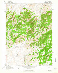 1960 Reno Hill1965 Print · USGSHigh ranching country along the Natrona and Converse county line is captured here at the dawn of the 1960s. Researchers can trace the layout of early livestock operations like the Old Tobin Place and find isolated Ruins or the Barker Sheep Camp.3 unique versions available
 - 1961 Map of Shawnee, 1965 Print
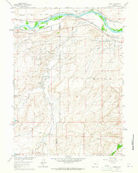
 1961 Shawnee1965 Print · USGSHigh plains ranching and rail history meet in Converse County during the early sixties. Genealogists and historians can locate numerous family sites like the May Homestead and Kornegay Homestead near the historic Emigrant Trail.
 - 1961 Map of Glendo, 1965 Print
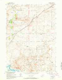
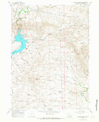
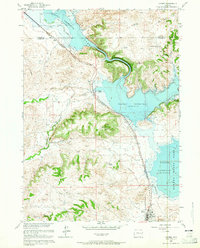 1961 Glendo1965 Print · USGSEastern Wyoming in the early sixties shows a landscape transformed by the Glendo Reservoir and the Chicago Burlington and Quincy rail line. Researchers can find the town of Glendo and remote landmarks like Buffalo Springs and Red Canyon.3 unique versions available
 - 1961 Map of Lockett, 1965 Print
 1961 Lockett1965 Print · USGSThe industrial and ranching heart of Converse County is captured in the early 1960s, showing the intersection of energy production and pioneer roots. Trace the historic Emigrant Trail alongside the Big Muddy Oil Field and family holdings like Old Wobble Ranch.4 unique versions available
 - 1961 Map of Jewel Springs, 1965 Print
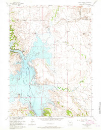 1961 Jewel Springs1965 Print · USGSThe North Platte River valley is captured in the early sixties just after the creation of the Glendo Reservoir. Genealogists and historians can trace the historic Emigrant Trail across the plains near Jewel Springs and Crandall Dam.
 - 1962 Map of Arminto
 1962 Arminto1962 Print · USGSCentral Wyoming in the early sixties reveals a landscape shaped by the Chicago and North Western railroad and early energy development. Trace the history of the region through remote outposts like Arminto, the US Naval Petroleum Reserve, and the geologic landmark at Hells Half Acre.
 - 1962 Map of Casper
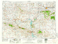 1962 Casper1962 Print · USGSCentral Wyoming during the early sixties was a landscape of expanding energy production and massive water projects. Researchers can trace the mid-century footprint of the Lost Soldier Oil Field, the development of Casper Air Terminal, and the irrigation network of Pathfinder Reservoir.
 - 1964 Map of Buck Peak, 1967 Print
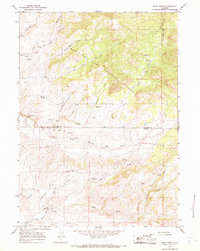
 1964 Buck Peak1967 Print · USGSThe high ranching country of Converse County is captured in the mid-1960s within the boundaries of the Medicine Bow National Forest. Genealogists and local historians can trace legacy sites like Box Elder Sch, Snowshoe Ranch, and the Leahy Place nestled among the peaks.3 unique versions available
 - 1964 Map of School Section Mountain, 1967 Print
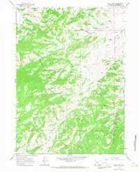
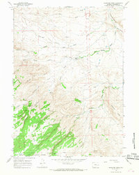
 1964 School Section Mountain1967 Print · USGSHigh mountain ranching and historic transit routes define this Converse County landscape in the mid-1960s. Researchers can trace the path of the Old Fort Fetterman Road and locate remote outposts like Sims Ranch and the Pyramid Mine.2 unique versions available
 - 1964 Map of Hermit Rock, 1967 Print
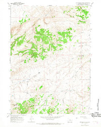
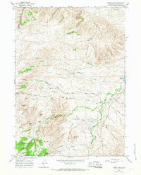 1964 Hermit Rock1967 Print · USGSConverse County's ranching heartland is captured in the mid-sixties, showing a landscape shaped by historical trails and vital water sources. Researchers can trace local heritage through the Le Vasseur Ranch, the Beaver Sch, and the storied Old Fort Fetterman Road.
 - 1964 Map of Buffalo Peak, 1968 Print
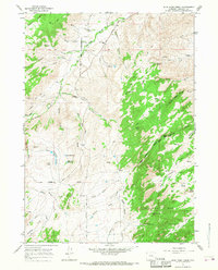
 1964 Buffalo Peak1968 Print · USGSConverse County high country in the 1960s was a landscape of remote mountain outposts and seasonal ranching infrastructure. Genealogists and local historians can trace the paths of old Jeep Trails connecting Silver Spruce Lodge, Ollins Lode, and the landmark Standing Rock.2 unique versions available
 - 1964 Map of Maneater Creek, 1968 Print
 1964 Maneater Creek1968 Print · USGSConverse County ranching life is preserved here as it functioned in the mid-sixties, from isolated family homesteads to remote forest boundaries. Genealogists and historians can locate the Wagon Hound Sch and trace local landmarks like Raeber Ranch and Manning Ridge.2 unique versions available
 - 1964 Map of Protsmans Knob, 1968 Print
 1964 Protsmans Knob1968 Print · USGSConverse County ranching and forest lands are documented here in the mid-1960s, showing the intersection of timber and grazing country. Researchers can locate remote high-country landmarks like Miller Cabin, the settlement at Virden, and the summit of Protsmans Knob.2 unique versions available
 - 1964 Map of Blue Nose Creek, 1968 Print
 1964 Blue Nose Creek1968 Print · USGSConverse County as it appeared in the mid-1960s was a rugged frontier of cattle country and high-elevation forests. You can trace the historic Old Fetterman Road past the Moss Agate Sch and the remote Chamberlain Place.2 unique versions available
 - 1964 Map of Saddleback Mountain, 1968 Print
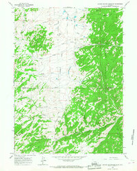
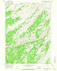 1964 Saddleback Mountain1968 Print · USGSHigh peaks and deep canyons mark this Wyoming wilderness in the 1960s as it spans the Converse and Albany county lines. Trace old routes through Jenkins Pass, locate the isolated Mc Donald Cabin, and explore the reaches of La Bonte Canyon.2 unique versions available
 - 1964 Map of La Prele Reservoir, 1968 Print
 1964 La Prele Reservoir1968 Print · USGSConverse County ranching and water management are captured here in the mid-1960s, showing the early infrastructure of the Laramie Range foothills. Researchers can trace the historic Emigrant Trail and locate family landmarks like Johnson Mailbox Hill or Stinson Hill.
 - 1964 Map of Rock Creek, 1968 Print
 1964 Rock Creek1968 Print · USGSThe high plains of Converse and Albany counties are captured here in the mid-1960s, a landscape defined by ranching trails and the Medicine Bow National Forest boundary. Researchers can trace the remote Russells Camp and follow the intricate forks of the North Fork Little Medicine Bow River.2 unique versions available
 - 1964 Map of Root Creek, 1968 Print
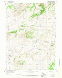 1964 Root Creek1968 Print · USGSHigh Wyoming rangeland in Converse County is documented here during the mid-sixties, showing a landscape of isolated camps and cattle country. Researchers can locate the Grant Cem, rural schools like Willow Dell Sch, and family-named landmarks like Lindgren Spring.
 - 1964 Map of Windy Peak, 1968 Print
 1964 Windy Peak1968 Print · USGSThe high country along the Converse and Albany County line comes into focus in the mid-1960s, showing a landscape of named ridges and isolated ranching outposts. Researchers can trace the location of Prager Sch, the site at Graveyard Hill, and the rugged path through Devils Pass.2 unique versions available
 - 1964 Map of Warbonnet Peak, 1968 Print
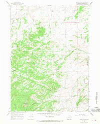
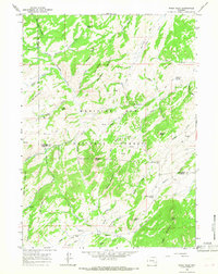
 1964 Warbonnet Peak1968 Print · USGSThe Laramie Mountains transition between Converse and Albany counties in the mid-1960s, showing a rugged landscape of ranching and forestry. Researchers can trace historic access routes like Jeep Trails and locate sites like the Old Copper King Mine or the La Prele Ranger Station.2 unique versions available
End of results
Showing maps 1-22 of 22
Top cities of Converse County
- Douglas historical maps
- Glenrock historical maps
- Rolling Hills historical maps
- Rolling Hills historical maps
- Lost Springs historical maps
Frequently asked questions
- What are the different types of historical maps available for Converse County?
- What is the oldest map of Converse County?
- Where can I purchase historical maps of Converse County for my home or office?
- Where can I download high-res historical maps of Converse County?
- Are there historical topographic maps available for Converse County?
- Is there historical aerial imagery available for Converse County?
- Where are historical maps of Converse County sourced from?