1970s Maps of Converse County, Wyoming
Explore 17 historic maps of Converse County from the 1970s. These maps offer a rare glimpse into what life looked like during the 1970s — showing old roads, neighborhoods, homes, and landmarks that have changed or disappeared over time.
Whether you're researching your family's past, planning a metal detecting trip, or studying how Converse County's landscape evolved across the 1970s, these high-resolution maps are a powerful tool for exploring the history of this region.
- Focus on a specific era: All maps on this page are from the 1970s, giving you a focused view of this time period.
- See what’s changed: Compare century-old streets, trails, and buildings to today's modern landscape using overlays and satellite layers.
- Research with precision: Use these maps for genealogy, historical research, land use analysis, or educational projects.
- View, download, or print: Maps are fully viewable online in high resolution, and can be downloaded or printed for your own records.
Start exploring Converse County's history through authentic maps from the 1970s. This is your window into the past.
Converse County, WY maps
(17)- 1970 Map of Lost Springs, 1973 Print
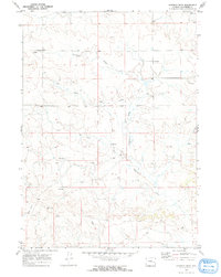
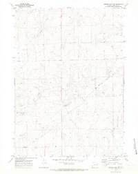
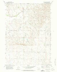
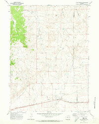 1970 Lost Springs1973 Print · USGSLost Springs and the surrounding high plains of Converse County are shown in detail during the early 1970s. Local researchers can trace the Chicago and North Western rail line, the mining operations at Rosin Mine, and terrain features like Rocky Top.
 - 1970 Map of The Park, 1973 Print
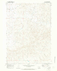
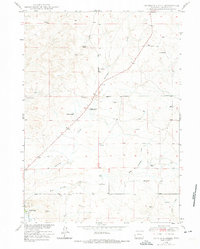
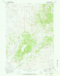 1970 The Park1973 Print · USGSConverse County at the start of the 1970s shows a landscape being reshaped by the energy industry and changing transportation. Researchers can trace the Flat Top Oil and Gas Field, find an isolated Cemetery, or follow the path of an Old Railroad Grade.2 unique versions available
 - 1970 Map of Bill 4 SE, 1973 Print
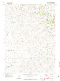
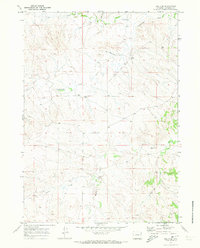 1970 Bill 4 SE1973 Print · USGSConverse County ranching and energy development come into focus in the early 1970s. Researchers can trace land use patterns near Moore Ranch and locate remote infrastructure like the isolated Landing Strip and various Flowing Wells.2 unique versions available
 - 1970 Map of Walker Creek School, 1973 Print
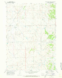 1970 Walker Creek School1973 Print · USGSConverse County, Wyoming, is captured here in the early seventies, showing a landscape shaped by water and early energy infrastructure. Trace local landmarks like the Walker Creek School and early industrial sites including a Pumping Sta and pipeline.
 - 1970 Map of Simpson Draw, 1973 Print
 1970 Simpson Draw1973 Print · USGSConverse County ranching and emerging energy interests appear in detail here during the early seventies. Genealogists and historians can locate family holdings such as Sybrant and Hall Ranch or trace the course of Shawnee Creek.2 unique versions available
 - 1970 Map of Bill 4 NW, 1973 Print
 1970 Bill 4 NW1973 Print · USGSConverse County's high plains are captured here in the early seventies, showing a landscape defined by ranching and seasonal drainage. Trace local landmarks and watercourses like Dry Creek, Sheldon Draw, and the peaks of Bower and Esau.2 unique versions available
 - 1970 Map of Lost Springs NW, 1973 Print
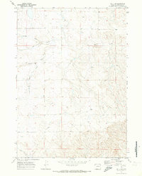
 1970 Lost Springs NW1973 Print · USGSThe high plains on the Converse and Niobrara county line come into focus as energy exploration began to mark the ranching landscape. Trace the locations of Manning Ranch and Sunset Mine alongside local landmarks like Flat Top.
 - 1970 Map of Bill 4 SW, 1973 Print
 1970 Bill 4 SW1973 Print · USGSConverse County ranching country is captured here in the early 1970s, showing the remote homesteads and vital water sources of the Wyoming high plains. Researchers can locate Werner Ranch and trace the paths of Lightning Creek and Box Creek across the township.3 unique versions available
 - 1970 Map of Simpson Draw NW, 1973 Print
 1970 Simpson Draw NW1973 Print · USGSConverse County ranching country is documented here during the early seventies, showing the remote homesteads and drainage networks of the high plains. Genealogists and historians can trace the Lebar Ranch area and landmarks like Willow Creek and the West Fork Walker Creek.
 - 1970 Map of Bill 4 NE, 1973 Print
 1970 Bill 4 NE1973 Print · USGSConverse County's ranching landscape is captured here in the early seventies, showing a network of remote homesteads and seasonal creeks. Researchers can locate specific sites like Williams Shearing Pens, the Old Kelly Place, and Downs Ranch.2 unique versions available
 - 1971 Map of Fiddleback Ranch, 1974 Print
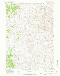
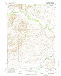
 1971 Fiddleback Ranch1974 Print · USGSThe high plains of Converse County come into focus during the early 1970s, showing a remote ranching landscape where the Cheyenne River meets its tributaries. Researchers can locate established homesteads like the Fiddleback Ranch and trace the course of Sauerkraut Draw through the Rochelle Hills.
 - 1971 Map of Coal Bank Draw, 1974 Print
 1971 Coal Bank Draw1974 Print · USGSConverse and Campbell counties are captured in the early seventies, showing a landscape shaped by ranching and resource exploration. Researchers can locate the Irwin Ranch, trace the path of Antelope Creek, and find markers for an Oil Well and several Drill Hole sites.
 - 1971 Map of Esau Spring, 1974 Print
 1971 Esau Spring1974 Print · USGSConverse County ranching country is captured here during the early seventies, showing a landscape of remote outposts and seasonal watercourses. Genealogists and historians can locate the Weiss Ranch and trace rugged tracks like Cow Creek Road past Esau Spring.
 - 1971 Map of Tin Can Lake, 1975 Print
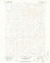
 1971 Tin Can Lake1975 Print · USGSThe high plains of eastern Wyoming in the early seventies are a landscape of sprawling cattle ranches and seasonal creek beds. Genealogists and researchers can trace old ranch boundaries and rural routes like Dull Center Road and Steinle Road near Tin Can Lake.
 - 1973 Map of Antelope Creek, 1975 Print
 1973 Antelope Creek1975 Print · USGSThe ranching country of Converse County is documented here during the early seventies, showing a landscape of family-owned spreads and upland drainage. Trace the locations of historic properties like Combs Ranch and the site of the Graves School.
 - 1979 Map of Bill, 1980 Print
 1979 Bill1980 Print · USGSConverse County and the surrounding ranchlands are shown in the late 1970s as industrial mining began to reshape the cattle country. Researchers can trace the Burlington Northern rail line and locate landmarks like the Johnston Mine, Bill, and Red Butte.2 unique versions available
 - 1979 Map of Casper, 1980 Print
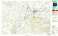 1979 Casper1980 Print · USGSCasper and the North Platte River valley are documented here during the late seventies, showing the city's growth against the backdrop of the Laramie Mountains. Researchers can trace the historic Emigrant Trail past Bessemer Mountain or locate family plots at Highland Cem.
End of results
Showing maps 1-17 of 17
Top cities of Converse County
- Douglas historical maps
- Glenrock historical maps
- Rolling Hills historical maps
- Rolling Hills historical maps
- Lost Springs historical maps
Frequently asked questions
- What are the different types of historical maps available for Converse County?
- What is the oldest map of Converse County?
- Where can I purchase historical maps of Converse County for my home or office?
- Where can I download high-res historical maps of Converse County?
- Are there historical topographic maps available for Converse County?
- Is there historical aerial imagery available for Converse County?
- Where are historical maps of Converse County sourced from?