Old Maps of Riverton, Wyoming for Academic Research
Study the evolution of Riverton with 14 high-resolution historic maps. Whether you're teaching, researching, or modeling changes in land use, these maps provide essential visual documentation of urban, environmental, and geographic change.
- Analyze long-term change: Track patterns in development, transportation, and natural features.
- Ideal for environmental or urban studies: Support academic projects with primary historical map data.
- Use in the classroom or lab: Educators and researchers rely on these maps to bring historical context to life.
These maps are a powerful tool for teaching, research, and visualizing how Riverton has changed over the decades.
Riverton, WY maps
(14)- 1950 Map of Riverton East, 1952 Print
 1950 Riverton East1952 Print · USGSFremont County settlement and irrigation come alive in the early fifties, centering on the eastern outskirts of the reservation. Genealogists and researchers can trace local landmarks like Delfelder Hall, the Penitentiary Farm, and the Chicago and Northwestern rail line.3 unique versions available
 - 1951 Map of Riverton West, 1953 Print
 1951 Riverton West1953 Print · USGSFremont County irrigation and rail networks take center stage in the early fifties as the Wind River valley expands. Genealogists can locate Mountain View Cem and the Wyoming Penitentiary Farm near the bustling streets of Riverton.
 - 1955 Map of Thermopolis, 1969 Print
 1955 Thermopolis1969 Print · USGSMid-century Wyoming comes alive in this survey of the Wind River basin and the high Absaroka peaks. Trace the roots of oil and water development through the Hamilton Dome Oil Field and the Boysen Reservoir, or locate local landmarks like the Wyoming Industrial Institute and St. Stephens.2 unique versions available
 - 1958 Map of Thermopolis
 1958 Thermopolis1958 Print · USGSThe Bighorn Basin and Wind River Reservation are shown here in the late fifties, during a period of significant petroleum and agricultural growth. Genealogists and historians can trace rail-towns like Gebo, energy hubs like the Hamilton Dome Oil Field, and the layout of Fort Washakie.2 unique versions available
 - 1959 Map of Riverton West, 1961 Print
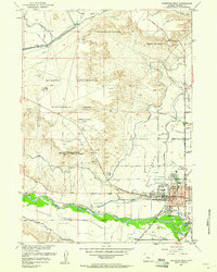 1959 Riverton West1961 Print · USGSMid-century Riverton emerges as a hub of Wyoming irrigation and rail transport during this era of federal reclamation. Genealogists and local historians can locate early civic landmarks like Ashgrove Sch, the Odd Fellows Cem, and the Fremont County Fairground.2 unique versions available
 - 1962 Map of Thermopolis
 1962 Thermopolis1962 Print · USGSThe Wind River and Bighorn basins are meticulously mapped in the early sixties, showing the vital irrigation and rail networks of the era. Genealogists and historians can locate specific landmarks like the Duncan Ranch School, the Wyoming Industrial Institute, and the Hamilton Dome oil field.
 - 2012 Map of Riverton East, 2012 Print
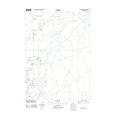 2012 Riverton East2012 Print · USGSEast of Riverton in the early 2010s, the landscape was defined by the winding waters of the Wind River and the agricultural legacy of the High Plains. Genealogists and historians can trace local landmarks like Farmers Siding, the Wyoming Penitentiary Farm, and the settlement at Delfelder.
 - 2012 Map of Riverton West, 2012 Print
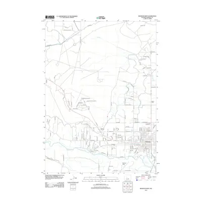 2012 Riverton West2012 Print · USGSRiverton and the surrounding plains of Fremont County are captured here in the early twenty-first century. You can trace the vital irrigation networks of the Wyoming Central Canal or locate family sites at Mountain View Cem.
 - 2015 Map of Riverton East, 2015 Print
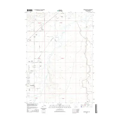 2015 Riverton East2015 Print · USGSIn the Wind River Basin during the mid-2010s, this area shows the intersection of municipal growth and state-managed agriculture. Researchers can trace the boundaries of the Wyoming Penitentiary Farm or the course of the Riverton Number 2 Canal and Haymaker Cr.
 - 2015 Map of Riverton West, 2015 Print
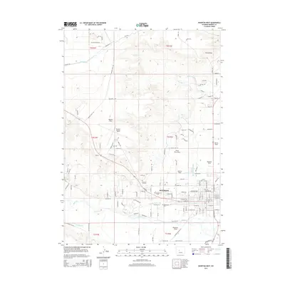 2015 Riverton West2015 Print · USGSRiverton thrives at the center of a complex irrigation and transport network in central Wyoming during the early twenty-first century. Genealogists and historians can trace the town's layout from Mountain View Cem to the Central Wyoming College campus and the outlying Riverview Valley.
 - 2017 Map of Riverton West, 2017 Print
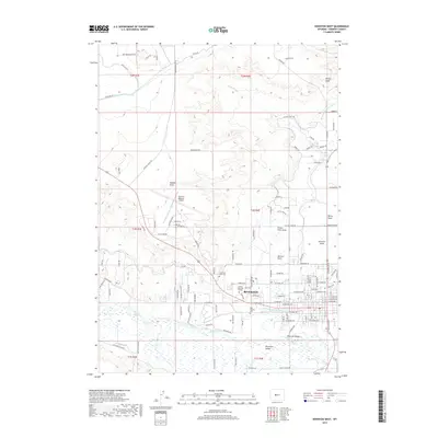 2017 Riverton West2017 Print · USGSModern-day Riverton and its surrounding high plains are documented here just before the end of the decade. Genealogists and historians can trace family plots at Odd Fellows Cem or study the critical irrigation networks of the Leclair Canal and Wyoming Central Canal.
 - 2017 Map of Riverton East, 2017 Print
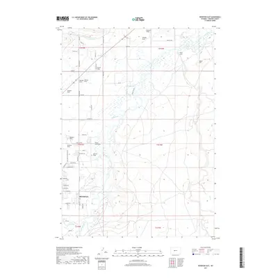 2017 Riverton East2017 Print · USGSThe eastern edges of Riverton and the Wind River valley are captured here in the late twenty-tens, showing a landscape defined by irrigation and institutional history. Researchers can trace the Wyoming Penitentiary Farm and local water systems like the Riverton Number 2 Canal and Rush Slough.
 - 2021 Map of Riverton West, 2021 Print
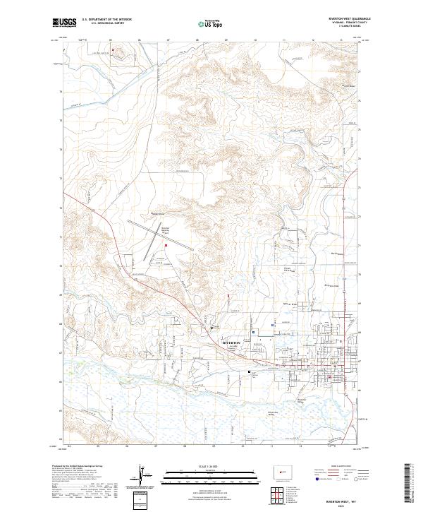 2021 Riverton West2021 Print · USGSRiverton and the surrounding Wind River basin are shown here during a period of established irrigation and regional growth. Genealogists can locate family sites at Mountain View Cem or trace the early paths of the Wyoming Central Canal and Leclair Canal.
 - 2021 Map of Riverton East, 2021 Print
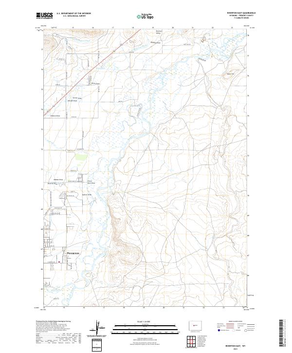 2021 Riverton East2021 Print · USGSThe confluence of the Wind and Little Wind Rivers defines this Wyoming landscape in the early 2020s. Genealogists and local historians can trace irrigation networks like the Wyoming Central Canal and institutional sites such as the Wyoming Penitentiary Farm.
End of results
Showing maps 1-14 of 14
Top cities near Riverton
Frequently asked questions
- What are the different types of historical maps available for Riverton?
- What is the oldest map of Riverton?
- Where can I purchase historical maps of Riverton for my home or office?
- Where can I download high-res historical maps of Riverton?
- Are there historical topographic maps available for Riverton?
- Is there historical aerial imagery available for Riverton?
- Where are historical maps of Riverton sourced from?