2020s Maps of Johnson County, Wyoming
Explore 99 historic maps of Johnson County from the 2020s. These maps offer a rare glimpse into what life looked like during the 2020s — showing old roads, neighborhoods, homes, and landmarks that have changed or disappeared over time.
Whether you're researching your family's past, planning a metal detecting trip, or studying how Johnson County's landscape evolved across the 2020s, these high-resolution maps are a powerful tool for exploring the history of this region.
- Focus on a specific era: All maps on this page are from the 2020s, giving you a focused view of this time period.
- See what’s changed: Compare century-old streets, trails, and buildings to today's modern landscape using overlays and satellite layers.
- Research with precision: Use these maps for genealogy, historical research, land use analysis, or educational projects.
- View, download, or print: Maps are fully viewable online in high resolution, and can be downloaded or printed for your own records.
Start exploring Johnson County's history through authentic maps from the 2020s. This is your window into the past.
Johnson County, WY maps
(99)- 2021 Map of Antelope Draw, 2021 Print
 2021 Antelope Draw2021 Print · USGSJohnson County’s high plains and drainage basins are captured here in the contemporary era. Researchers can trace land management patterns and local landmarks like Reno Hill, Dry Creek Basin, and the winding path of Ninemile Cr.
 - 2021 Map of Poker Butte, 2021 Print
 2021 Poker Butte2021 Print · USGSJohnson County's high ranching country and historic hideouts are captured here in the early twenty-first century. Modern researchers can trace the Outlaw Cave Trl and explore the remote terrain of the Hole-in-the-Wall Slope and The Trap.
 - 2021 Map of Mayoworth, 2021 Print
 2021 Mayoworth2021 Print · USGSThe ranchlands of Johnson County come into focus during the early twenty-first century, centered on the settlement of Mayoworth. Researchers can trace old water rights through the Morgareidge Ditch or locate family history at the Morgareidge Cem near the river.
 - 2021 Map of Elaine Draw, 2021 Print
 2021 Elaine Draw2021 Print · USGSJohnson County ranchlands appear in high detail on the cusp of the 2020s, showing the intricate network of named draws and seasonal creeks. Researchers can locate remote landmarks like Elaine Draw and trace the path of the Buffalo Sussex Cutoff Rd.
 - 2021 Map of Dry Fork Ranch, 2021 Print
 2021 Dry Fork Ranch2021 Print · USGSJohnson County ranchlands are documented here in the early twenty-first century, showing a landscape shaped by historical routes and water. Researchers can follow the path of the Bozeman Trl as it winds past the Dry Fork Ranch and Cottonwood Cr.
 - 2021 Map of Roughlock Hill, 2021 Print
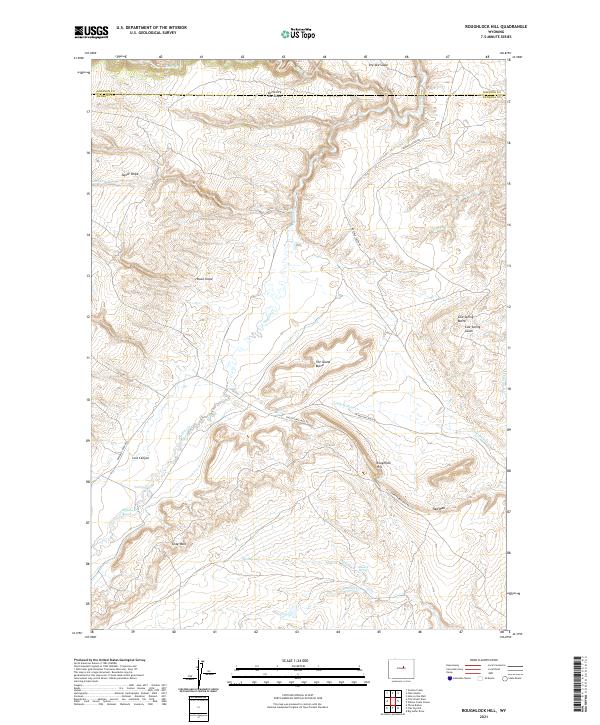 2021 Roughlock Hill2021 Print · USGSThe high plains and escarpments of Natrona County appear in great detail during the early 2020s. Researchers can trace the drainages of Buffalo Cr or locate specific landmarks like Hackett Spring, Roughlock Hill, and the dramatic Red Wall.
 - 2021 Map of Salt Canyon, 2021 Print
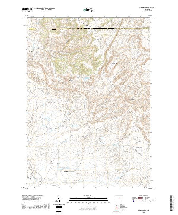 2021 Salt Canyon2021 Print · USGSThe high plains of the Johnson and Natrona county line come into focus in this contemporary survey of Wyoming's livestock country. Researchers can trace the sophisticated network of stock-water management across Devils Monument and The Wall, including Antelope Springs and Big V Reservoir.
 - 2021 Map of Barnum, 2021 Print
 2021 Barnum2021 Print · USGSThe community of Barnum and the surrounding Johnson County ranchlands are shown here in the 2020s. Researchers can trace historical water rights and land use via the Barnum Ditch, White Panther Ditch, and Blue Cr Ditch.
 - 2021 Map of Fourmile Reservoir, 2021 Print
 2021 Fourmile Reservoir2021 Print · USGSJohnson County ranchlands and geological formations are documented in this recent survey of the Powder River Basin. Researchers can trace high-country water sources and named drainages like Fourmile Reservoir, Reno Hill, and Fifteenmile Draw.
 - 2021 Map of Tabletop, 2021 Print
 2021 Tabletop2021 Print · USGSJohnson and Washakie Counties are captured here in the early twenty-first century, showing a high-country landscape defined by the headwaters of the Powder River. Researchers can trace the courses of N Fork Red Fork Powder River and Baldwin Cr alongside landmarks like The Castle Rock.
 - 2021 Map of The Horn, 2021 Print
 2021 The Horn2021 Print · USGSJohnson County ranchlands and high-plains terrain are captured here in the modern era. Researchers can trace intricate water systems including Horn Cr Ditch and find local landmarks like The Horn, Frenchy Springs, and Specimen Hill.
 - 2021 Map of Hole-in-the-Wall, 2021 Print
 2021 Hole-in-the-Wall2021 Print · USGSDeep in the Powder River Basin during the early 2020s, this landscape remains defined by its legendary geography and ranching roots. Researchers can trace the trails through Bar C Gap, locate Hole-in-the-Wall, and identify prominent landmarks like Steamboat Rock.
 - 2021 Map of TTT Ranch, 2021 Print
 2021 TTT Ranch2021 Print · USGSJohnson County ranching country comes into focus in this recent survey of the Powder River basin. Researchers can trace land use through landmarks like TTT Ranch, the Tisdale Ditch, and seasonal drainages such as Frewens Draw and Posey Creek.
 - 2021 Map of Gordon Creek, 2021 Print
 2021 Gordon Creek2021 Print · USGSThe high watershed of the Bighorn Mountains is documented here in the early twenty-first century as the seasons change over the Johnson County line. Trace the drainage of the Middle Fork Powder River and the steep terrain of North River Slope or Dry Vee Slope.
 - 2021 Map of Hoe Ranch, 2021 Print
 2021 Hoe Ranch2021 Print · USGSJohnson County ranching country is documented here in the early 2020s as the Powder River winds through the high plains. Researchers can trace land use through landmarks like Hoe Ranch, Hoe Spring, and the Reculusa Reservoir.
 - 2021 Map of Provence Ranch, 2021 Print
 2021 Provence Ranch2021 Print · USGSJohnson County ranching country is documented here in the early twenty-first century, showing the intricate network of water draws and reservoirs. Researchers can locate family-named landmarks like Provence Ranch, Art Ekland Draw, and Hague Paxton Reservoir.
 - 2021 Map of Fraker Mountain, 2021 Print
 2021 Fraker Mountain2021 Print · USGSHigh-country ranching and wilderness navigation characterize this Johnson County landscape during the early 2020s. Researchers can trace remote routes like Gardner Mountain Trl and Between the Creeks Rd past landmarks like Fraker Mtn and The Crevasses.
 - 2021 Map of Fort Reno SE, 2021 Print
 2021 Fort Reno SE2021 Print · USGSThe high plains of the Johnson and Campbell county line are captured here in the early 2020s, showing a landscape shaped by water and ranching. Researchers can trace the path of Willow Creek or locate landmarks like Table Mtn and Streeter Reservoir.
 - 2021 Map of The Nipple, 2021 Print
 2021 The Nipple2021 Print · USGSThe high plains of the Powder River Basin come into focus in this recent survey of the Johnson County ranchlands. Researchers can trace land use through water features like School Section Spring and the drainage patterns of Pumpkin Cr or Craney Draw.
 - 2021 Map of Packsaddle Canyon, 2021 Print
 2021 Packsaddle Canyon2021 Print · USGSJohnson County’s high country is captured in the early 2020s, showing a landscape defined by deep canyons and critical water rights. Genealogists and historians can trace the paths of the N Fork Powder River and Webb-Perkins Ditch, or locate family-named landmarks like Charlie Brown Spring and Dancehall Flats.
 - 2021 Map of Broken Horn Creek, 2021 Print
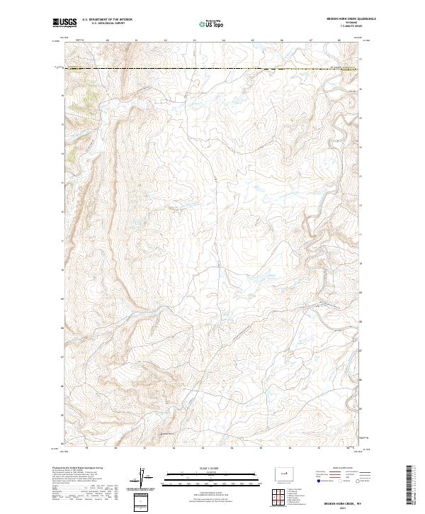 2021 Broken Horn Creek2021 Print · USGSNatrona County ranching country is shown here in the early 2020s, revealing a landscape defined by isolated homesteads and vital water sources. Researchers can trace the paths of Broken Horn Cr and Lone Bear Cr or locate landmarks like Oil Canyon and Turkey Springs.
 - 2021 Map of Tallon Spring, 2021 Print
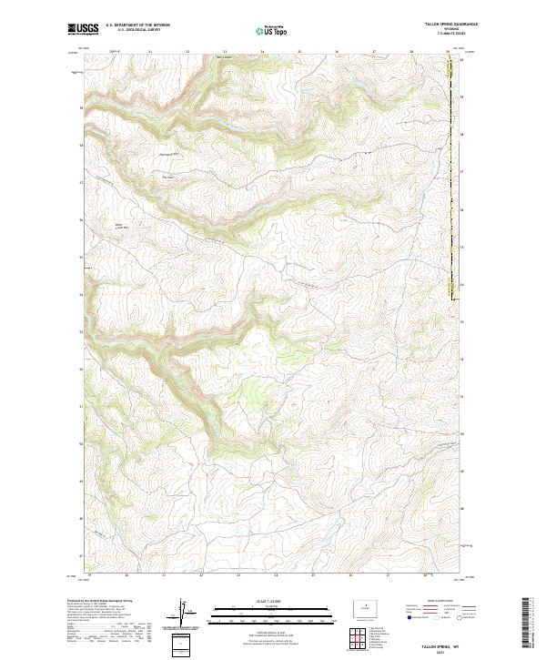 2021 Tallon Spring2021 Print · USGSThe high country along the Washakie and Johnson County line is captured in this recent survey. Researchers can trace the rugged geography of Eberhardt Vee and The Vees, or locate remote water sources like Tallon Spring and Deadmans Spring.
 - 2021 Map of Jewell Draw, 2021 Print
 2021 Jewell Draw2021 Print · USGSSheridan and Johnson counties meet in this modern topographical study of the high plains drainage systems. Researchers can trace intricate watercourses and local landmarks like The Lake, Jewell Draw, and the named branches of Cottonwood Creek.
 - 2021 Map of Negro Butte, 2021 Print
 2021 Negro Butte2021 Print · USGSJohnson and Campbell Counties are shown at the start of the 2020s in this detailed look at the Wyoming high plains. Researchers can trace the ranching landscape across the Johnson and Campbell County line using landmarks like Negro Butte and Beaver Cr.
 - 2021 Map of Arpan Butte, 2021 Print
 2021 Arpan Butte2021 Print · USGSSheridan and Johnson counties are shown here as they appeared in the early twenty-first century, featuring the high point of Arpan Butte. Genealogists and historians can trace land use through landmarks like Bill Yates Reservoir and the rural network of Thompson Creek Rd.
Showing maps 1-25 of 99
Top cities of Johnson County
Frequently asked questions
- What are the different types of historical maps available for Johnson County?
- What is the oldest map of Johnson County?
- Where can I purchase historical maps of Johnson County for my home or office?
- Where can I download high-res historical maps of Johnson County?
- Are there historical topographic maps available for Johnson County?
- Is there historical aerial imagery available for Johnson County?
- Where are historical maps of Johnson County sourced from?