2010s Maps of Johnson County, Wyoming
Explore 297 historic maps of Johnson County from the 2010s. These maps offer a rare glimpse into what life looked like during the 2010s — showing old roads, neighborhoods, homes, and landmarks that have changed or disappeared over time.
Whether you're researching your family's past, planning a metal detecting trip, or studying how Johnson County's landscape evolved across the 2010s, these high-resolution maps are a powerful tool for exploring the history of this region.
- Focus on a specific era: All maps on this page are from the 2010s, giving you a focused view of this time period.
- See what’s changed: Compare century-old streets, trails, and buildings to today's modern landscape using overlays and satellite layers.
- Research with precision: Use these maps for genealogy, historical research, land use analysis, or educational projects.
- View, download, or print: Maps are fully viewable online in high resolution, and can be downloaded or printed for your own records.
Start exploring Johnson County's history through authentic maps from the 2010s. This is your window into the past.
Johnson County, WY maps
(297)- 2012 Map of Hoe Ranch, 2012 Print
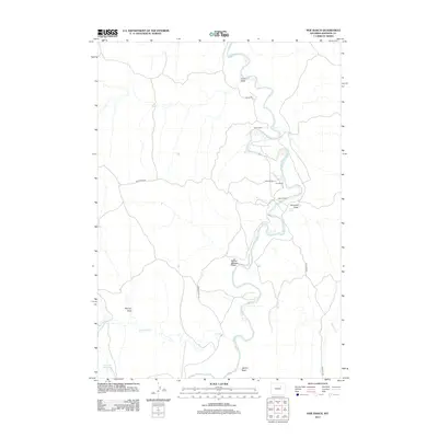 2012 Hoe Ranch2012 Print · USGSJohnson County ranching country is captured here in the early twenty-first century, centered on the winding Powder River. Researchers can locate legacy family holdings like Hoe Ranch and Irigaray Ranch alongside landmarks such as Reculusa Reservoir.
 - 2012 Map of Edgerton, 2012 Print
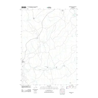 2012 Edgerton2012 Print · USGSThe high plains of Natrona County come into focus during the early 2010s, showing a landscape defined by ranching and energy. Researchers can trace the industrial footprint of the East Salt Creek Oil Field and locate family landmarks like Parsons Ranch or the small settlement of Edgerton.
 - 2012 Map of Kaycee NE, 2012 Print
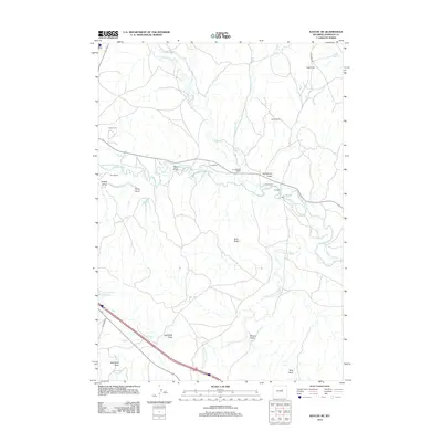 2012 Kaycee NE2012 Print · USGSJohnson County ranching and irrigation systems are documented in detail at the start of the twenty-first century. Researchers can trace historic water rights and homesteads including Jarrard Ranch, Smith Ranch, and the Sussex Irrigation Canal.
 - 2012 Map of Hibbard Draw, 2012 Print
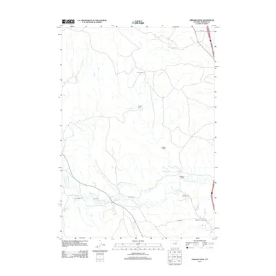 2012 Hibbard Draw2012 Print · USGSJohnson County ranchlands and energy fields are documented here in the early 2010s as the regional economy balances livestock and oil. Genealogists and local historians can locate specific family landmarks such as Zigweid Ranch and Crutchet Ranch along the N Fork Powder River.
 - 2012 Map of Roughlock Hill, 2012 Print
 2012 Roughlock Hill2012 Print · USGSNatrona County's high plains and rugged draws are captured here during the early twenty-first century. Researchers can trace the layout of the Buffalo Creek Ranch and locate remote landmarks like Red Cabin and Hackett Spring.
 - 2012 Map of The Horn, 2012 Print
 2012 The Horn2012 Print · USGSJohnson County ranching and water rights are well-documented in this early 21st-century survey of the Wyoming high plains. Researchers can locate family landmarks like the Simmons Homestead, trace the Frances Ditch, and identify remote outposts like Winingar Cabin.
 - 2012 Map of Figure 8 Reservoir, 2012 Print
 2012 Figure 8 Reservoir2012 Print · USGSJohnson County ranching and energy production are mapped here during the early twenty-first century along the winding Powder River. Genealogists and local historians can locate specific family properties like Indart Ranch and Chabot Ranch or trace the West Sussex-Dugout Oil Field.
 - 2012 Map of Poker Butte, 2012 Print
 2012 Poker Butte2012 Print · USGSJohnson County ranching and the high plains terrain are captured here in the early twenty-first century. Researchers can trace historic property footprints and water infrastructure like the Johnson Ranch, Spangler Cabin, and Hole-in-the-Wall Windmill.
 - 2012 Map of Dry Fork Ranch, 2012 Print
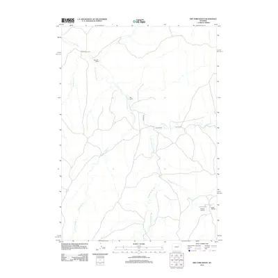 2012 Dry Fork Ranch2012 Print · USGSCampbell County ranching country is seen here in the early twenty-first century along the historic path of the Bozeman Trl. Researchers can locate specific livestock operations and landmarks like the Irvine Shearing Camp and Nichols Ranch.
 - 2012 Map of Mayoworth, 2012 Print
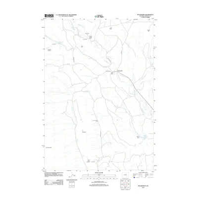 2012 Mayoworth2012 Print · USGSJohnson County ranching and river geography are documented here just after the turn of the twenty-first century. Researchers can trace family-named lands like Condit Ranch and Chubb and Lloyd Ranch or locate the historic Morgareidge Cem along the N Fork Powder River.
 - 2012 Map of Antelope Draw, 2012 Print
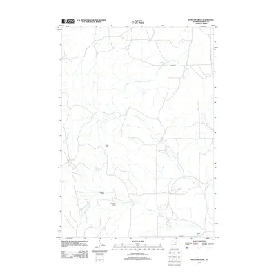 2012 Antelope Draw2012 Print · USGSJohnson County ranching country is mapped in detail here during the early twenty-first century. Researchers can trace rural road networks and livestock landmarks like Crain Ranch, Reno Hill, and the winding course of N Fork Ninemile Cr.
 - 2012 Map of Linch, 2012 Print
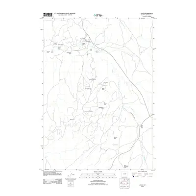 2012 Linch2012 Print · USGSLinch and the surrounding Johnson County backcountry are shown here in the early twenty-first century as a landscape defined by oil production and high-plains ranching. Researchers can trace energy infrastructure across the Sussex Oil Field and locate family landmarks such as Tillman Ranch and Irvine Cow Camp.
 - 2012 Map of Dugout Ranch, 2012 Print
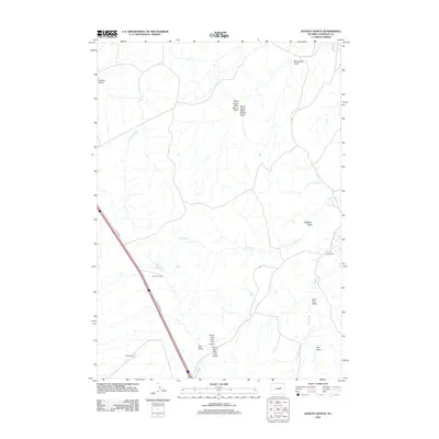 2012 Dugout Ranch2012 Print · USGSJohnson County ranching country is captured here in the early 2010s, showing a landscape shaped by intermittent creek beds and historic highway corridors. Researchers can trace established family properties like Dugout Ranch and O'Conner Ranch alongside the route of Old US Hwy 87.
 - 2012 Map of Fourmile Reservoir, 2012 Print
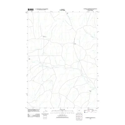 2012 Fourmile Reservoir2012 Print · USGSJohnson County's high plains are captured here in the early twenty-first century, showing a landscape defined by ranching routes and water management. Trace the convergence of Fourmile Cr at the Four Mile Reservoir or locate local landmarks like Reno Hill.
 - 2012 Map of Broken Horn Creek, 2012 Print
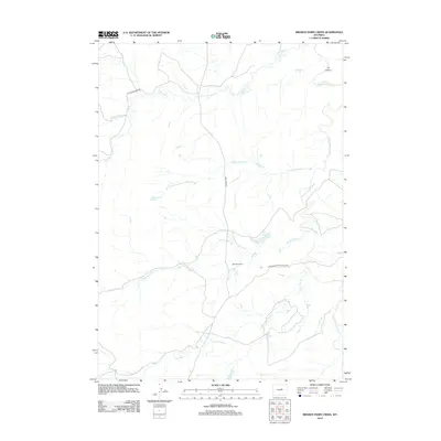 2012 Broken Horn Creek2012 Print · USGSNatrona County's high-plains ranching country comes into focus in this early twenty-first-century survey of the Powder River watershed. Researchers can trace the layout of the Well Riley Ranch and the essential water resources of Neff Reservoir and Turkey Springs.
 - 2012 Map of Soldier Creek, 2012 Print
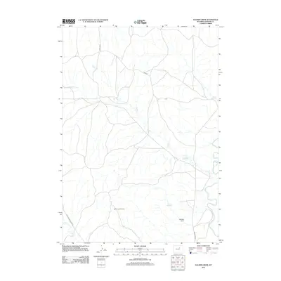 2012 Soldier Creek2012 Print · USGSJohnson County was a landscape of historic cattle trails and water management during the early twenty-first century. Researchers can trace the path of the legendary Bozeman Trl and locate vital ranching landmarks like Reno Reservoir and the Smith Cut Anticline.
 - 2012 Map of Dead Woman Crossing, 2012 Print
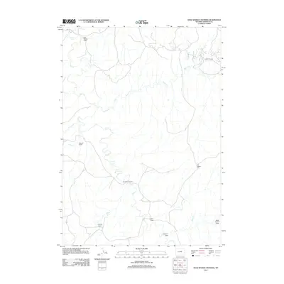 2012 Dead Woman Crossing2012 Print · USGSJohnson County in the early twenty-first century is captured here as a landscape of intermittent streams and cattle-country landmarks. Researchers can trace the namesake Dead Woman Crossing or find family-named points like Frenchy Basin and Metcalf Gulch.
 - 2012 Map of Provence Ranch, 2012 Print
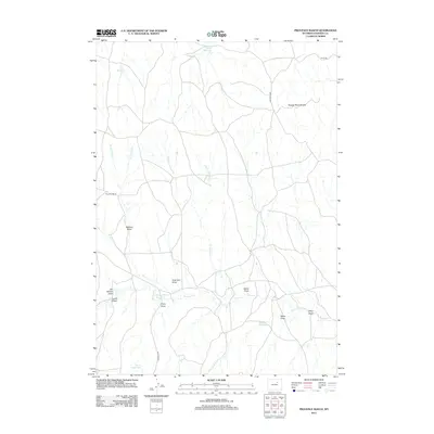 2012 Provence Ranch2012 Print · USGSJohnson County ranchlands are documented here in the early twenty-first century, showing a landscape deeply tied to the cattle industry. Genealogists and historians can trace family-named landmarks like Provence Ranch and Adamson Draw or locate the historic Bozeman Trl.
 - 2012 Map of Schlicht Draw, 2012 Print
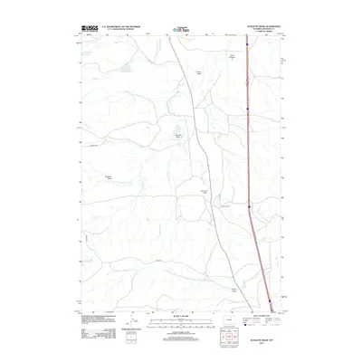 2012 Schlicht Draw2012 Print · USGSJohnson County ranching country is captured here in the early twenty-first century, showing the vital irrigation networks of the high plains. Researchers can trace land use through landmarks like Gosney Ranch, the Beaver Tooth Ditch, and Willow Glen Reservoir.
 - 2012 Map of Packsaddle Canyon, 2012 Print
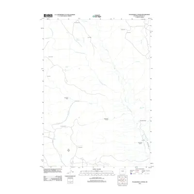 2012 Packsaddle Canyon2012 Print · USGSThe high country of Johnson County in the early 21st century remains a landscape of isolated ranching outposts and rugged river forks. Researchers can locate remote homesteads and seasonal camps like Armstrong Cabin, Gordons Cowcamp, and the Hat Ranch.
 - 2012 Map of Dry Creek Reservoir, 2012 Print
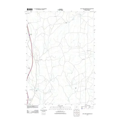 2012 Dry Creek Reservoir2012 Print · USGSJohnson County ranching and water rights take center stage in this 2012 study of the Wyoming high plains. Genealogists and local historians can trace legacy holdings like Taylor Ranch or locate specialized seasonal sites such as Lund Sheep Camp.
 - 2012 Map of Sussex, 2012 Print
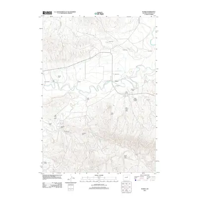 2012 Sussex2012 Print · USGSThe high plains of Johnson County are shown here during the early twenty-first century as a landscape of established family ranching. Researchers can trace land holdings like Turk Ranch or E Patterson Ranch and find landmarks such as The Chimney and Chalk Butte.
 - 2012 Map of Elaine Draw, 2012 Print
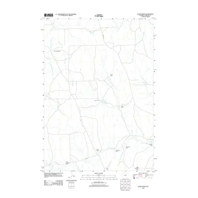 2012 Elaine Draw2012 Print · USGSJohnson County’s high plains are captured here in the early twenty-first century, showing a landscape shaped by historical routes and ranching life. Researchers can trace the path of the Bozeman Trl and find family-named landmarks like the Eklund J 3 Ranch and Ross Draw.
 - 2012 Map of TTT Ranch, 2012 Print
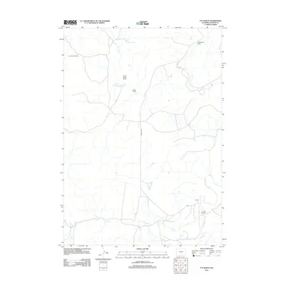 2012 TTT Ranch2012 Print · USGSJohnson County ranching country is documented here during the early twenty-first century, showing the intersection of family landholdings and water rights. Researchers can locate the Roy Rinker Homestead and the namesake TTT Ranch near the S Fork Powder River.
 - 2012 Map of Red Fork Powder River, 2012 Print
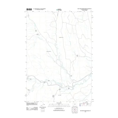 2012 Red Fork Powder River2012 Print · USGSJohnson County, Wyoming, is captured here in the early twenty-first century, showcasing the critical river systems and irrigation networks of the High Plains. Genealogists and researchers can trace the historic Comstock Ditch and family-named landmarks like Johnson Draw and Harlan Ridge.
Showing maps 1-25 of 297
Top cities of Johnson County
Frequently asked questions
- What are the different types of historical maps available for Johnson County?
- What is the oldest map of Johnson County?
- Where can I purchase historical maps of Johnson County for my home or office?
- Where can I download high-res historical maps of Johnson County?
- Are there historical topographic maps available for Johnson County?
- Is there historical aerial imagery available for Johnson County?
- Where are historical maps of Johnson County sourced from?