1980s Maps of Niobrara County, Wyoming
Explore 39 historic maps of Niobrara County from the 1980s. These maps offer a rare glimpse into what life looked like during the 1980s — showing old roads, neighborhoods, homes, and landmarks that have changed or disappeared over time.
Whether you're researching your family's past, planning a metal detecting trip, or studying how Niobrara County's landscape evolved across the 1980s, these high-resolution maps are a powerful tool for exploring the history of this region.
- Focus on a specific era: All maps on this page are from the 1980s, giving you a focused view of this time period.
- See what’s changed: Compare century-old streets, trails, and buildings to today's modern landscape using overlays and satellite layers.
- Research with precision: Use these maps for genealogy, historical research, land use analysis, or educational projects.
- View, download, or print: Maps are fully viewable online in high resolution, and can be downloaded or printed for your own records.
Start exploring Niobrara County's history through authentic maps from the 1980s. This is your window into the past.
Niobrara County, WY maps
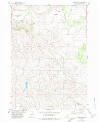
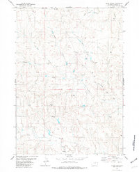
(39)- 1981 Map of Telephone Draw
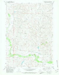
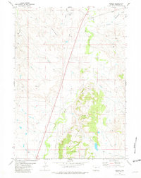
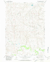
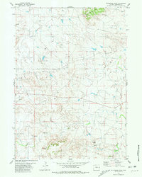 1981 Telephone Draw1981 Print · USGSNiobrara County was a site of active resource extraction in the early 1980s, shaped by energy development and the natural drainages of the High Plains. Researchers can trace the industrial layout of the Buck Creek Oil Field or locate landmarks like Castle Rock and Old Woman Creek.
 - 1981 Map of Calf Draw
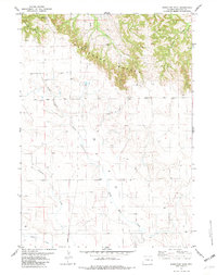
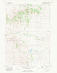
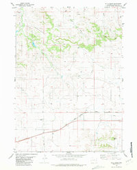
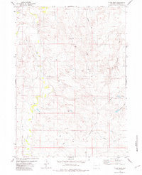
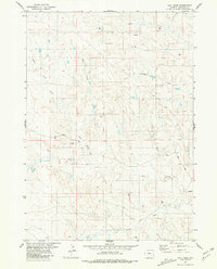 1981 Calf Draw1981 Print · USGSNiobrara County ranchlands and energy resources are documented here in the early 1980s. Researchers can trace the network of early energy exploration via scattered Drill Hole sites and follow the course of Cow Creek Road as it passes Bull Creek and Calf Draw.
 - 1981 Map of Wagonhound Creek
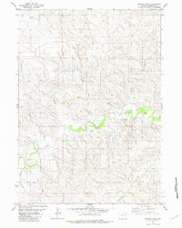
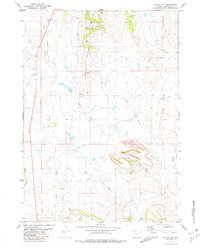
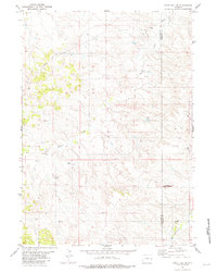
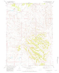
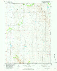 1981 Wagonhound Creek1981 Print · USGSEastern Wyoming ranching country is captured here in the early 1980s, centered on the Dull Center community. Researchers can trace local landmarks like Nachtman Sch and family-named features including Dull Reservoir and Nachtman Reservoir.
 - 1981 Map of Lusk
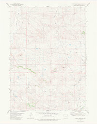
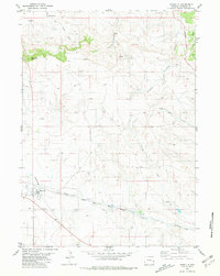
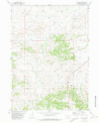
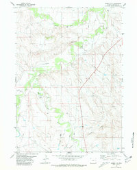
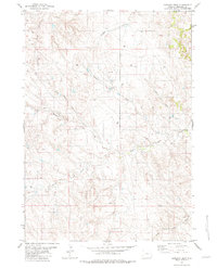
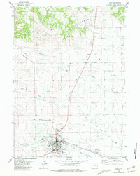 1981 Lusk1981 Print · USGSThe high plains of Niobrara County come into focus during the early eighties, centered on the ranching and transit hub of Lusk. Researchers can trace town infrastructure from the High Sch and Hospital to the Chicago and North Western rail line and Hat Creek Breaks.
 - 1981 Map of Horseshoe Bend
 1981 Horseshoe Bend1981 Print · USGSNiobrara County’s high plains are captured here in the early 1980s as a landscape of river bends and energy exploration. Researchers can trace the winding Cheyenne River through Horseshoe Bend or locate industrial sites like the Oil Well and numerous Drill Hole locations.
 - 1981 Map of Signature Rock
 1981 Signature Rock1981 Print · USGSNiobrara County's high plains are captured here in the early eighties, showcasing a landscape of prominent escarpments and ranching infrastructure. Trace local landmarks like Signature Rock and follow the route of Kirtley Road across the Hat Creek Breaks.
 - 1981 Map of Mercer Draw
 1981 Mercer Draw1981 Print · USGSNiobrara County ranchlands and drainage basins are captured here during the late twentieth century. Genealogists and land researchers can trace the course of Lightning Creek and locate remote ranching landmarks like Landing Strips and Drill Holes.
 - 1981 Map of Rabbit Mountains
 1981 Rabbit Mountains1981 Print · USGSNiobrara County in the early eighties shows a sparse ranching landscape shaped by energy development. Trace the network of Pipelines and Drill Holes that surround East Rabbit Mountain and the headwaters of Buck Creek.
 - 1981 Map of Threemile Butte
 1981 Threemile Butte1981 Print · USGSNiobrara County ranching and energy country is captured here in the early eighties. Researchers can trace rural landmarks like the Sevenmile Sch and Threemile Butte, or follow the Cheyenne River Road along the valley floor.
 - 1981 Map of Pinnacle Rocks
 1981 Pinnacle Rocks1981 Print · USGSConverse County and Niobrara County meet in this Wyoming landscape during the early 1980s. Researchers can trace the drainage patterns of Rattlesnake Hills and locate landmarks like Middle Creek Reservoir and Miller Buttes.
 - 1981 Map of Coyote Gap
 1981 Coyote Gap1981 Print · USGSNiobrara County in the late 1970s is shown here as a landscape of high-plains ranching and early energy exploration. Local historians can trace the paths of Old Woman Creek and Sage Creek or locate scattered Drill Holes near the rugged Seaman Hills.
 - 1981 Map of Manville
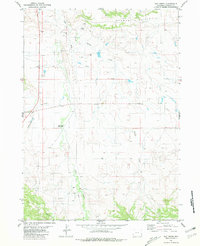
 1981 Manville1981 Print · USGSManville and the surrounding Wyoming plains are captured here in the early eighties as a hub of rail and river transit. Researchers can locate family landmarks such as Dellview Cemetery or trace the path of the Chicago and North Western railroad through the Niobrara River valley.
 - 1981 Map of Dixon Ranch
 1981 Dixon Ranch1981 Print · USGSNiobrara County ranching country is captured here in the late seventies, showing a landscape of named draws and remote outposts. Researchers can trace the geography of the Dixon Ranch and locate numerous energy Drill Hole sites along the Lance Creek Road.
 - 1981 Map of Hat Rock
 1981 Hat Rock1981 Print · USGSNiobrara County in the early eighties was a landscape of stark geological formations and emerging energy exploration. Trace family ties or cattle ranching history across the Hat Creek Breaks and locate landmarks like Hat Rock and Roadside Park.
 - 1981 Map of Little Alkali Creek
 1981 Little Alkali Creek1981 Print · USGSNiobrara County, Wyoming, is captured in the early eighties as a landscape of remote ranching and energy development. Researchers can locate specific water improvements and landmarks like Carlas Corner, Bridle Bit Hill, and the course of the Cheyenne River.
 - 1981 Map of Hat Creek
 1981 Hat Creek1981 Print · USGSNiobrara County in the early eighties retains the echoes of the frontier era along the banks of Sage Creek. Genealogists and historians can locate the Old Hat Creek Stage Station and trace local resource sites like Gravel Pits and various wells.
 - 1981 Map of Redbird
 1981 Redbird1981 Print · USGSIn the early eighties, this Niobrara County landscape was a hub of energy exploration and cattle ranching. Trace the network of Oil Wells, Prospects, and water sources like Old Woman Creek and Antelope Creek across the Creek Hills.
 - 1981 Map of Bills Creek
 1981 Bills Creek1981 Print · USGSNiobrara County in the early eighties is a landscape of high-plains ranching and rail transit defined by the Horseshoe Hills. Genealogists and local historians can locate Jireh Cemetery and trace the Chicago and North Western rail line near Shelton Peak.
 - 1981 Map of Lance Creek NW
 1981 Lance Creek NW1981 Print · USGSNiobrara County, Wyoming, is shown here in the early 1980s as a landscape of wide-open rangeland and active energy exploration. Researchers can trace the winding course of Lightning Creek and identify specific sites of historical industry like the Oil Well and multiple Drill Holes.
 - 1981 Map of Split Hill SW
 1981 Split Hill SW1981 Print · USGSThe high plains of the Converse and Niobrara county line come alive in the early 1980s, showcasing a landscape defined by energy development. Trace industrial markers like the Pumping Sta, numerous Oil Well sites, and the paths of a Pipeline across Walker Creek.
 - 1981 Map of Bowen Flat
 1981 Bowen Flat1981 Print · USGSNiobrara County's high plains appear in detail during the late 1970s, showing a landscape of ranching and energy exploration. Researchers can trace the drainage patterns of Old Woman Creek and locate industrial markers like Drill Hole sites and Chimney Rock Butte.
 - 1981 Map of Boggy Reservoir
 1981 Boggy Reservoir1981 Print · USGSNiobrara County ranchlands and energy fields are mapped here during the late 1970s and early 1980s. Local researchers can trace water sources like Boggy Reservoir and Lance Creek alongside remote infrastructure like a local Landing Strip.
 - 1981 Map of Funny Rock
 1981 Funny Rock1981 Print · USGSNiobrara County ranchlands and oil exploration zones are detailed here during the early eighties. Researchers can trace the winding Lance Creek, locate the landmark Funny Rock, and identify specific Drill Hole sites and early energy corridors like the PIPELINE.
 - 1981 Map of Buck Creek Hills
 1981 Buck Creek Hills1981 Print · USGSNiobrara County in the early eighties is shown as a landscape of ranching draws and energy development. Genealogists and land researchers can trace family-named landmarks like Swede Draw and Peddy Draw alongside early resource sites marked as Drill Hole.
 - 1981 Map of Garland Draw
 1981 Garland Draw1981 Print · USGSNiobrara County ranching and energy country is captured here during the early eighties, showing the intricate drainage of the high plains. Researchers can locate numerous energy exploration sites marked Drill Hole and trace family-named landmarks like Snyder Creek and Dixon Draw.
Showing maps 1-25 of 39
Top cities of Niobrara County
Frequently asked questions
- What are the different types of historical maps available for Niobrara County?
- What is the oldest map of Niobrara County?
- Where can I purchase historical maps of Niobrara County for my home or office?
- Where can I download high-res historical maps of Niobrara County?
- Are there historical topographic maps available for Niobrara County?
- Is there historical aerial imagery available for Niobrara County?
- Where are historical maps of Niobrara County sourced from?