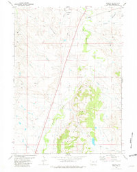
1981 Map of Redbird
USGS Topo · Published 1981About this map
Redbird serves as a lone named focal point in this eastern Wyoming landscape, where the terrain transitions from the open stretches of Culligans Flats to the more broken ground of the Graham Roughs. The area is defined by a dendritic drainage network, with Old Woman Creek and its many tributaries, including Black Tail Creek and Alum Creek, carving through the Creek Hills. This 1981 edition documents a landscape heavily marked by energy exploration, shown through numerous Drill Holes, Oil Wells, and several Prospects scattered throughout the hills.
Find a feature on this map
22 named features on this map. Tap any name to fly to it.
Don’t see what you’re looking for? This feature index may not catch every label — zoom into the map to look around manually.
Map Details
Editions of this 1981 Redbird Map
This is the sole edition of this map. No revisions or reprints were ever made.
Other maps of this area

1955 · Newcastle
USGS Topo · 1:250,000

1958 · Newcastle
USGS Topo · 1:250,000

1978 · Mule Creek
USGS Topo · 1:24,000
1978 · Oat Creek NW
USGS Topo · 1:24,000
1978 · South Oat Creek
USGS Topo · 1:24,000

1981 · Telephone Draw
USGS Topo · 1:24,000
1981 · Coyote Gap
USGS Topo · 1:24,000
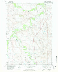
1981 · Bowen Flat
USGS Topo · 1:24,000
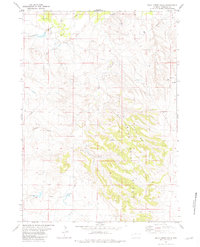
1981 · Buck Creek Hills
USGS Topo · 1:24,000
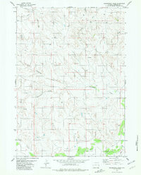
1981 · Greasewood Creek
USGS Topo · 1:24,000