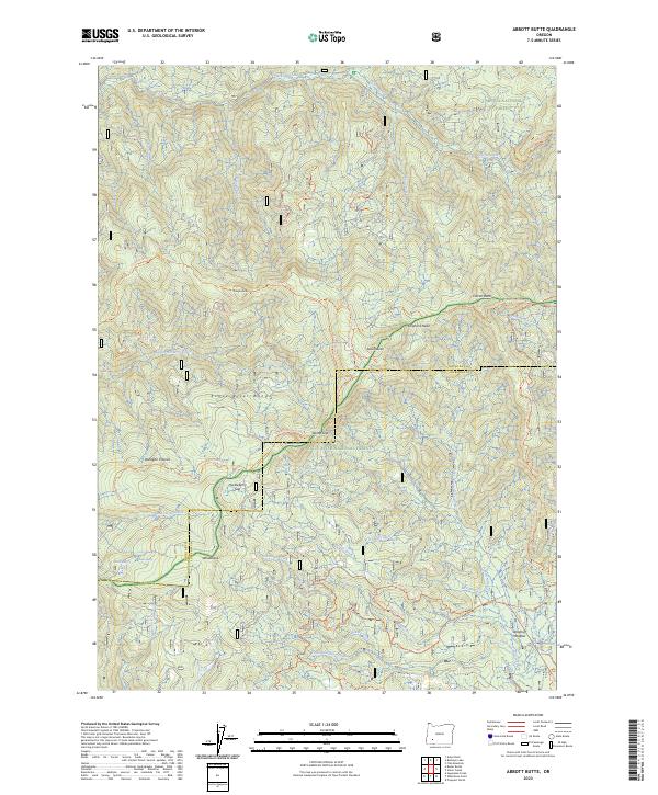
2023 Map of Abbott Butte
USGS Topo · Published 2023About this map
The Rogue River Range serves as a dominant topographical spine through this portion of the Southern Cascades, marking the divide between the Umpqua National Forest and the Rogue River National Forest. At the heart of the terrain lies the Abbott Butte and the surrounding Rogue-Umpqua Divide Wilderness, a region defined by high peaks and strategic mountain passes like Windy Gap and Huckleberry Gap.
Find a feature on this map
49 named features on this map. Tap any name to fly to it.
Don’t see what you’re looking for? This feature index may not catch every label — zoom into the map to look around manually.
Map Details
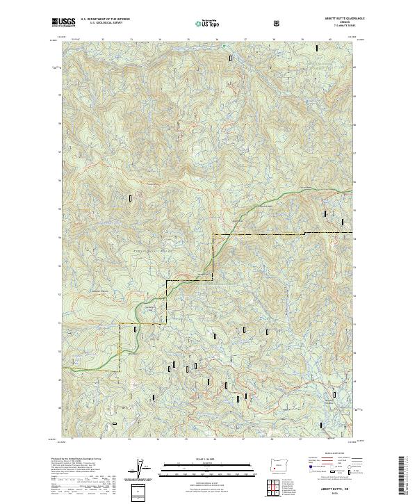
Editions of this 2023 Abbott Butte Map
2 editions found
Other maps of this area

1891 · Ashland
USGS Topo · 1:250,000

1893 · Ashland
USGS Topo · 1:250,000

1897 · Ashland
USGS Topo · 1:250,000

1917 · Diamond Lake
USGS Topo · 1:125,000

1944 · Abbott Butte
USGS Topo · 1:62,500

1947 · Abbott Butte
USGS Topo · 1:62,500

1955 · Quartz Mtn
USGS Topo · 1:62,500

1955 · Medford
USGS Topo · 1:250,000

1956 · Garwood Butte
USGS Topo · 1:62,500

1956 · Prospect
USGS Topo · 1:62,500