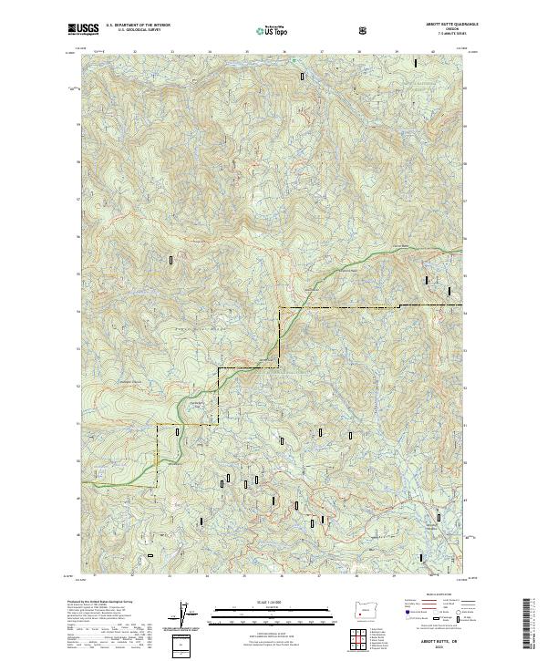
2023 Map of Abbott Butte
USGS Topo · Published 2023About this map
Abbott Butte and the Rogue River Range define this high-elevation wilderness where the boundaries of the Umpqua National Forest and the Rogue River National Forest meet. The landscape is characterized by a dense network of drainages including Jackson Creek, Abbott Creek, and Sunshine Creek, which feed into the larger river systems of Jackson and Douglas counties. This contemporary survey details the protected Rogue-Umpqua Divide Wilderness, showing how modern management maintain historical landmarks like Elephant Head and Quartz Mtn. Long-established trail systems, such as the Rogue Umpqua Divide Trl and the Donegan Prairie Trl, cross through Donegan Prairies and Huckleberry Gap, providing access to isolated water features like Huckleberry Lake and Neal Spring. The map documents the persistent geography of these highland meadows and volcanic peaks, tracing the divide that has long separated these watersheds.
Find a feature on this map
53 named features on this map. Tap any name to fly to it.
Don’t see what you’re looking for? This feature index may not catch every label — zoom into the map to look around manually.
Map Details
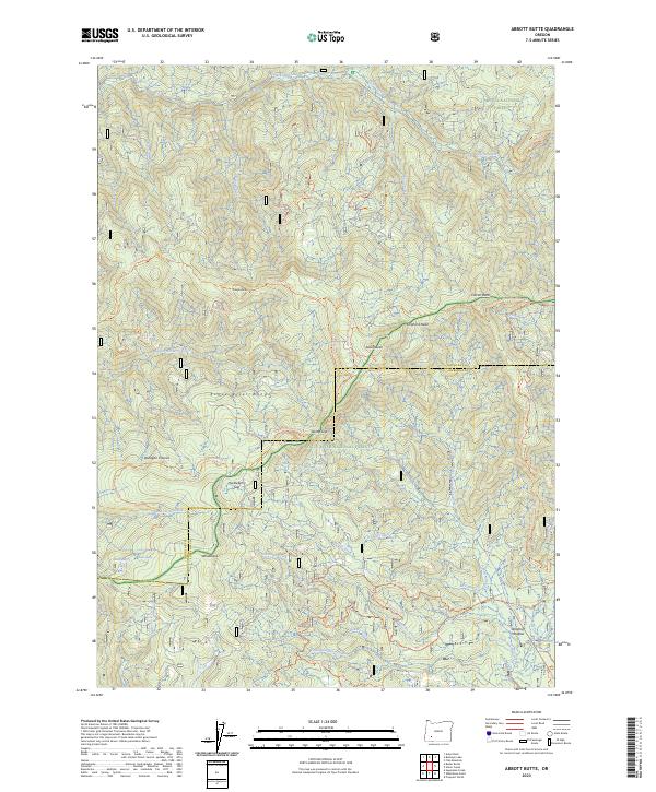
Editions of this 2023 Abbott Butte Map
2 editions found
Other maps of this area

1891 · Ashland
USGS Topo · 1:250,000

1893 · Ashland
USGS Topo · 1:250,000

1897 · Ashland
USGS Topo · 1:250,000

1917 · Diamond Lake
USGS Topo · 1:125,000

1944 · Abbott Butte
USGS Topo · 1:62,500

1947 · Abbott Butte
USGS Topo · 1:62,500

1955 · Quartz Mtn
USGS Topo · 1:62,500

1955 · Medford
USGS Topo · 1:250,000

1956 · Garwood Butte
USGS Topo · 1:62,500

1956 · Prospect
USGS Topo · 1:62,500